Roscobie Hills

Range Of Mountains, Range Of Hills in Fife

Scotland

Roscobie Hills

Lethans Muir
Lethans Muir Credit: Alan Reid

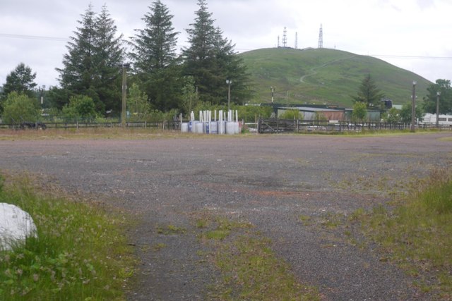
Roscobie Hills, located in Fife, Scotland, is a range of hills that stretches across approximately 10 kilometers. The hills are situated to the northwest of Cupar, a small town in Fife, and are part of the larger Lomond Hills range.

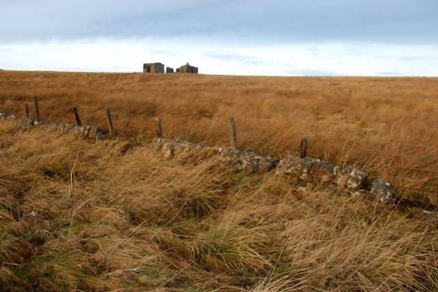
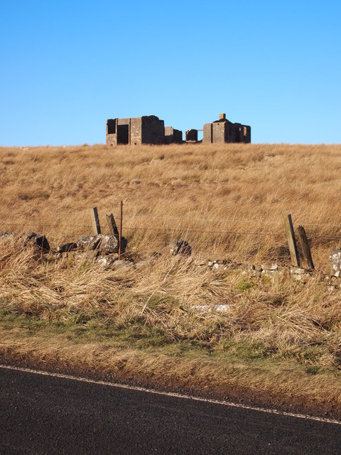
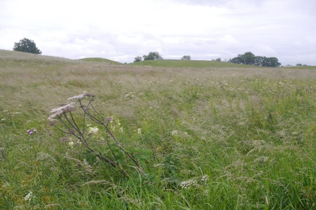
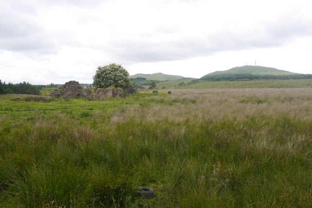
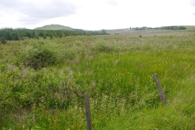
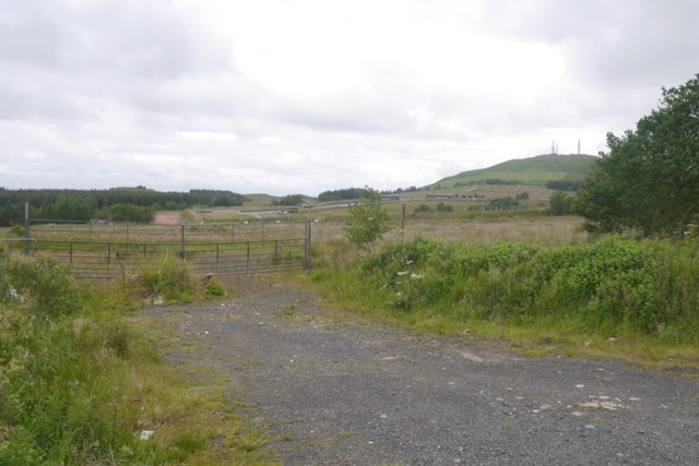
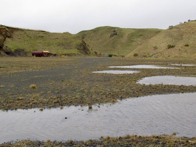
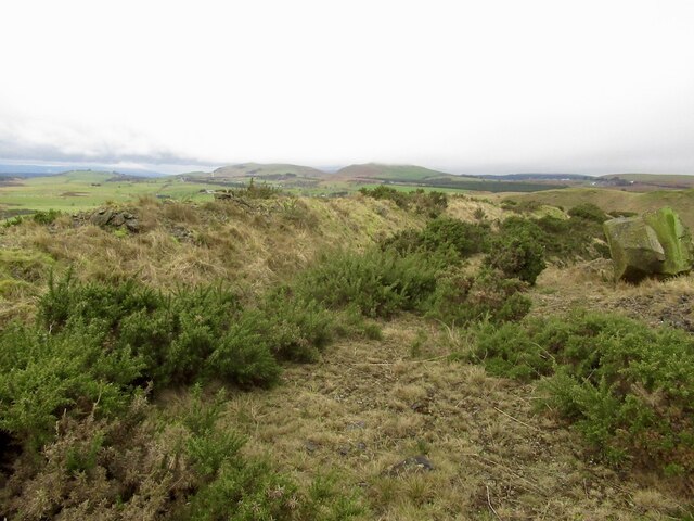
Roscobie Hills are characterized by their rolling landscapes, varying elevations, and stunning panoramic views. The highest point in the range reaches around 290 meters, providing ample opportunities for hikers and nature enthusiasts to enjoy breathtaking vistas of the surrounding countryside, including the Firth of Tay and the Lomond Hills to the west.

The hills are predominantly composed of sandstone, which gives them a distinctive reddish hue, particularly when illuminated by the setting sun. This geological feature adds to the scenic beauty of the area, attracting visitors throughout the year.

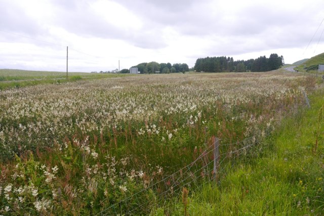
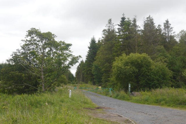
Roscobie Hills are crisscrossed by numerous walking trails, providing options for both leisurely strolls and more challenging hikes. The paths wind through heather-clad moorlands, woodland areas, and open grasslands, allowing visitors to experience a diverse range of landscapes and habitats. The hills are also home to a variety of wildlife, including red grouse, deer, and various bird species, making it an ideal location for birdwatching and nature photography.

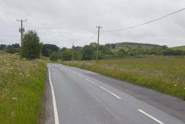
The proximity of Roscobie Hills to Cupar and other nearby villages makes it easily accessible for both locals and tourists. The range offers a peaceful and tranquil escape from the hustle and bustle of city life, providing a serene environment for outdoor activities such as picnicking, dog walking, and orienteering.

Overall, Roscobie Hills is a picturesque range of hills in Fife, Scotland, offering stunning views, diverse landscapes, and opportunities for outdoor recreation and nature appreciation.

If you have any feedback on the listing, please let us know in the comments section below.

Roscobie Hills Images

Images are sourced within 2km of 56.118666/-3.4785898 or Grid Reference NT0892. Thanks to Geograph Open Source API. All images are credited.

Lethans Muir
Lethans Muir
Ruin, Lethans Moor
Ruin, Lethans Moor
Old Milestone by the A823, Brooklynn, Dunfermline parish Stone post by the A823, by entrance to Brooklynn, in parish of Dunfermline (District), West of junction with the B915, on grass verge, against low stone wall, North side of road.

Inscription reads:-
DUNF
3 M

Surveyed

Milestone Society National ID: FF_DFRB03
Old Milestone by the A823, Brooklynn, Dunfermline parish
Stone post by the A823, by entrance to Brooklynn, in parish of Dunfermline (District), West of junction with the B915, on grass verge, against low stone wall, North side of road. Inscription reads:- DUNF 3 M Surveyed Milestone Society National ID: FF_DFRB03
Cattle, Deanhead
Cattle, Deanhead
Wetland pasture, Bowleys
B914 Passing the site of Grove. Lathalmond Hill in the background.
B914
Passing the site of Grove. Lathalmond Hill in the background.
Lathalmond Hill Hollowed out by quarrying. The quarry is no longer active and there appears to be little human activity.
Lathalmond Hill
Hollowed out by quarrying. The quarry is no longer active and there appears to be little human activity.
Wetland and meadowsweet, Redcraigs Between the B914 and A823.
Wetland and meadowsweet, Redcraigs
Between the B914 and A823.
Redcraigs Ruin near Knock Hill (background).
Redcraigs
Ruin near Knock Hill (background).
Forest road entrance Western edge of Blairadam Forest.
Forest road entrance
Western edge of Blairadam Forest.
Forestry, Knock Hill Recently clearfelled and replanted.
Forestry, Knock Hill
Recently clearfelled and replanted.
Forestry, Knock Hill Now clearfelled, so a view through from the A823 is possible.
Forestry, Knock Hill
Now clearfelled, so a view through from the A823 is possible.
Knock Hill Beyond the motor racing circuit.
Knock Hill
Beyond the motor racing circuit.
Knockhill Racing Circuit
Quarry, Lathalmond Hill
Quarry, Lathalmond Hill Abandoned bales of plastic meant for recycling.
Quarry, Lathalmond Hill
Abandoned bales of plastic meant for recycling.
Looking out of Lathalmond Quarry
Summit, Lathalmond Hill The hill is quarried and the natural summit may have been lost. Old maps show it to be near the edge of the current rock face.
Summit, Lathalmond Hill
The hill is quarried and the natural summit may have been lost. Old maps show it to be near the edge of the current rock face.
Show me another place!

Roscobie Hills is located at Grid Ref: NT0892 (Lat: 56.118666, Lng: -3.4785898)

Unitary Authority: Fife

Police Authority: Fife

What 3 Words

///senses.bolts.logic. Near Townhill, Fife

Related Wikis

Scottish Vintage Bus Museum

The Scottish Vintage Bus Museum is a transport museum in Lathalmond, 2.5 miles north of Dunfermline, Fife. The museum is open every Sunday between April...
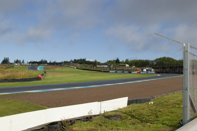
Knockhill

Knockhill Racing Circuit is a motor racing circuit in Fife, Scotland. It opened in September 1974 and is Scotland's national motorsport centre. The circuit...

Bowershall

Bowershall is a village in Fife, Scotland, UK, situated near Craigluscar Hill, two miles north of Dunfermline, one mile north of Townhill, and to the west...

Black Devon

The Black Devon is a river in Scotland. It rises in the Cleish Hills, specifically the area known as Outh Muir, 1.5 kilometres (0.93 mi) north of Knockhill...

Nearby Amenities

Located within 500m of 56.118666,-3.4785898
Generator Method: wind_turbine
Generator Output Electricity: yes
Generator Source: wind
Generator Type: horizontal_axis
Power: generator
Lat/Long: 56.1185157/-3.4709179
Generator Method: wind_turbine
Generator Output Electricity: yes
Generator Source: wind
Generator Type: horizontal_axis
Power: generator
Lat/Long: 56.1181568/-3.470639
Power: pole
Lat/Long: 56.1144532/-3.4794598
Power: pole
Lat/Long: 56.1147518/-3.4794516
Power: pole
Lat/Long: 56.1154128/-3.4794208
Power: pole
Lat/Long: 56.1160076/-3.4794003
Power: pole
Lat/Long: 56.116592/-3.4793736
Power: pole
Lat/Long: 56.1173194/-3.4793531
Power: pole
Lat/Long: 56.1175778/-3.4793429
Power: pole
Lat/Long: 56.1173674/-3.4840612
Power: pole
Lat/Long: 56.1174646/-3.4828385
Power: pole
Lat/Long: 56.1175401/-3.4818333
Power: pole
Lat/Long: 56.1175573/-3.4806619
Power: pole
Lat/Long: 56.1175973/-3.4780812
Power: pole
Lat/Long: 56.1176224/-3.4769734
Power: pole
Lat/Long: 56.117635/-3.4758759
Power: pole
Lat/Long: 56.1176602/-3.4745466
Power: pole
Lat/Long: 56.1176773/-3.4732132
Power: pole
Lat/Long: 56.1175801/-3.4718531
The data included in this document is from www.openstreetmap.org. The data is made available under ODbL.

Have you been to Roscobie Hills?

Leave your review of Roscobie Hills below (or comments, questions and feedback).