Path of Condie

Settlement in Perthshire

Scotland

Path of Condie

Baulk of Struie A ruined farm, seen from Whitehill Head.
Baulk of Struie Credit: Richard Webb

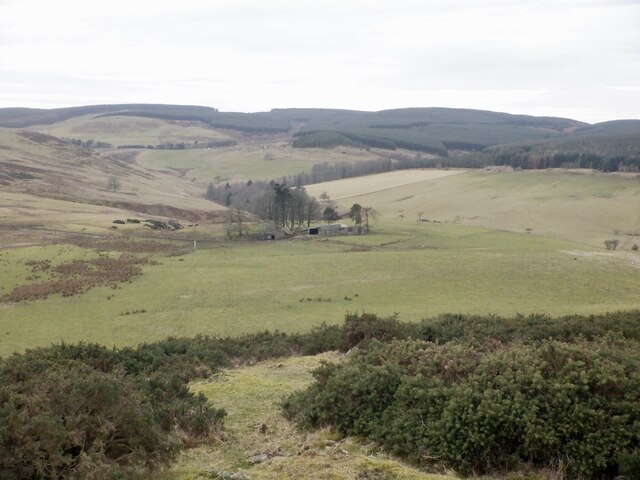
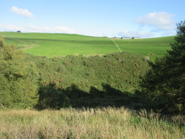
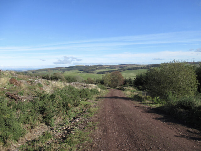
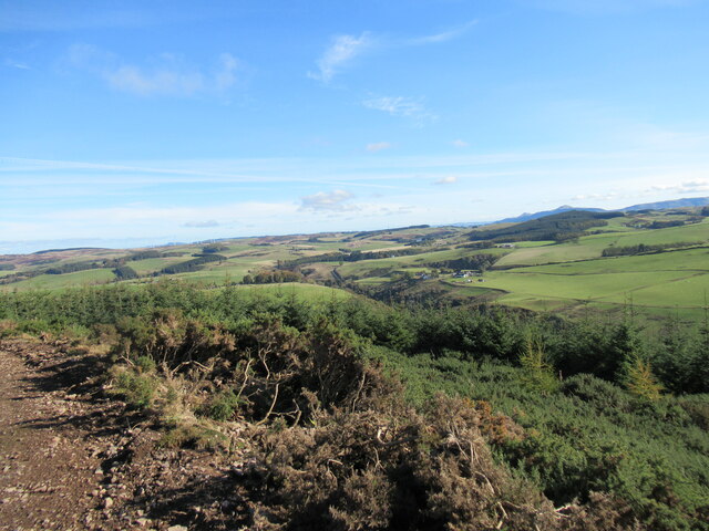
Path of Condie is a small rural village located in the region of Perthshire, Scotland. Situated amidst picturesque countryside, it lies approximately 10 miles northwest of the town of Auchterarder and 15 miles southwest of Perth. The village is nestled in the foothills of the Ochil Hills, offering stunning views and a tranquil environment.

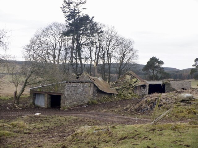
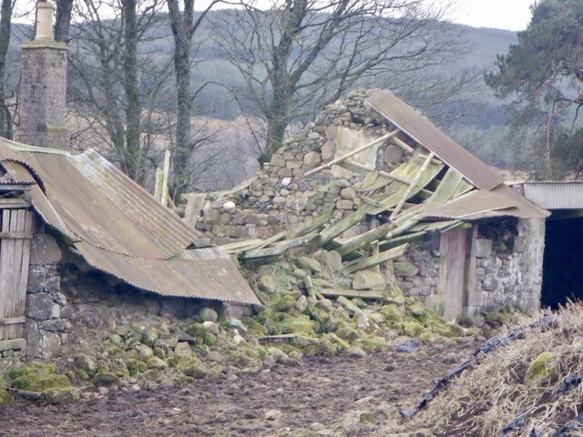
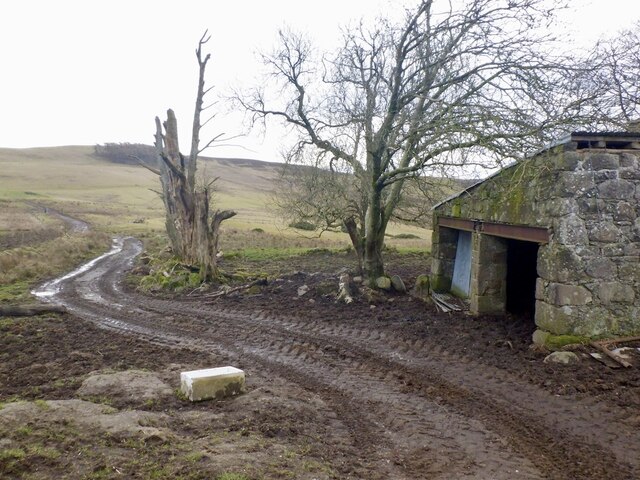
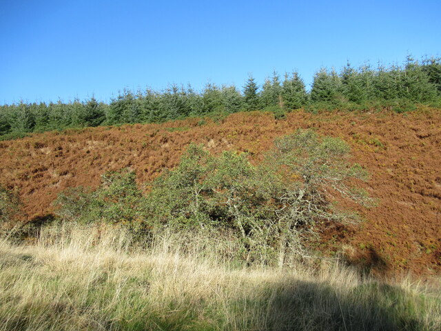
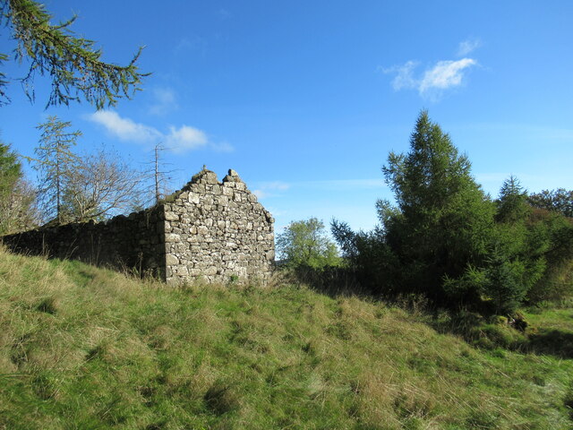
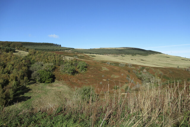
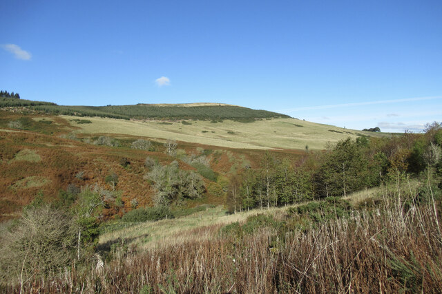
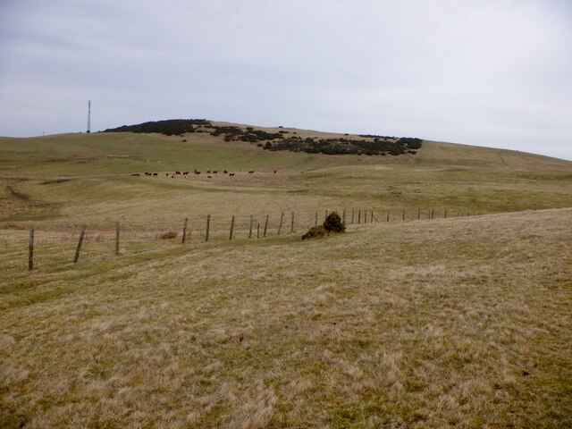
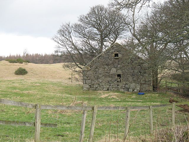
Path of Condie is known for its charming rural character, with traditional stone-built houses and a tight-knit community. The village is surrounded by rolling farmland, making it an ideal location for those seeking a peaceful retreat away from the hustle and bustle of city life. The area boasts an abundance of wildlife, providing opportunities for outdoor enthusiasts to explore and enjoy the natural surroundings.

Despite its small size, Path of Condie offers a range of amenities for its residents. The village has a well-maintained primary school, ensuring that children have access to quality education within the community. Additionally, there is a local pub that serves as a social hub, providing a welcoming atmosphere for locals and visitors alike.

For those looking to explore further afield, Perthshire offers a wealth of attractions and activities. Nearby, the Gleneagles Hotel and Golf Course is renowned for its world-class facilities, including championship golf courses and luxurious spa treatments. The city of Perth, with its historic landmarks and cultural events, is within easy reach, providing a variety of shopping, dining, and entertainment options.

In conclusion, Path of Condie is a picturesque village located in the heart of Perthshire, Scotland. Its tranquil setting, friendly community, and proximity to both nature and urban amenities make it an appealing destination for residents and visitors seeking a rural escape.

If you have any feedback on the listing, please let us know in the comments section below.

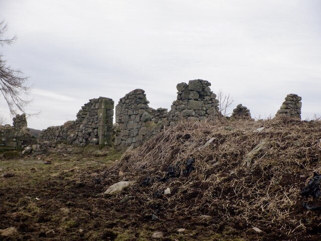
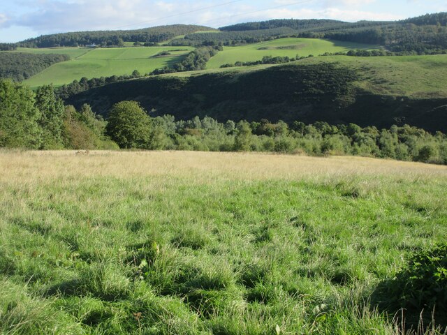
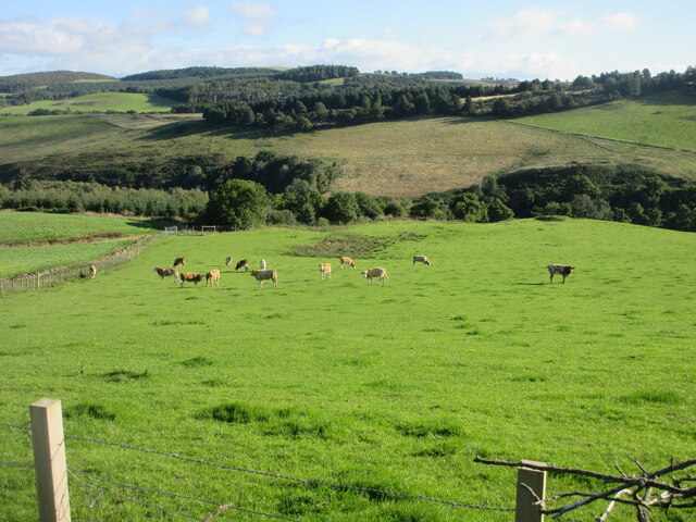
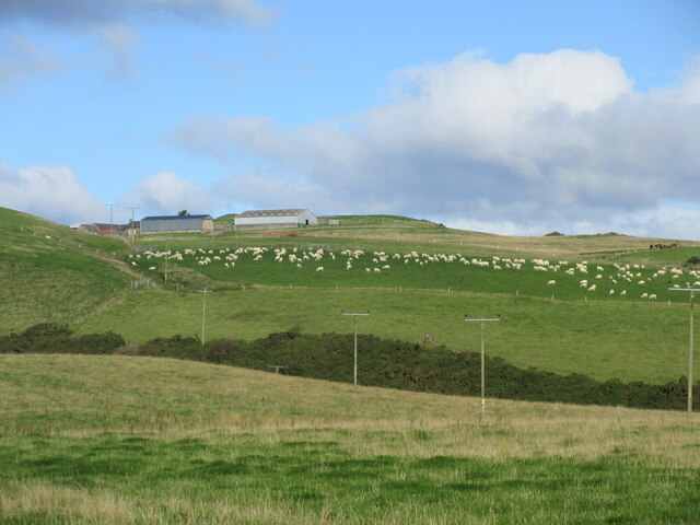
Path of Condie Images

Images are sourced within 2km of 56.28779/-3.4974081 or Grid Reference NO0711. Thanks to Geograph Open Source API. All images are credited.

Baulk of Struie A ruined farm, seen from Whitehill Head.
Baulk of Struie
A ruined farm, seen from Whitehill Head.
Baulk of Struie Ruined farm on high ground above Path of Condie.
Baulk of Struie
Ruined farm on high ground above Path of Condie.
Baulk of Struie Ruined farm on high ground above Path of Condie.
Baulk of Struie
Ruined farm on high ground above Path of Condie.
Baulk of Struie Ruined farm on high ground above Path of Condie.
Baulk of Struie
Ruined farm on high ground above Path of Condie.
Baulk of Struie An older ruin at Baulk of Struie
Baulk of Struie
An older ruin at Baulk of Struie
Grassy hillside near Condie Looking north-east down a grassy hillside towards the wooded valley of the Water of May in the Ochil Hills.
Grassy hillside near Condie
Looking north-east down a grassy hillside towards the wooded valley of the Water of May in the Ochil Hills.
Cattle near Condie Cattle in grass pastureland to the north of Condie.
Cattle near Condie
Cattle in grass pastureland to the north of Condie.
Field of sheep near Montalt Hundreds of sheep in a field adjacent to Brunt Knowe, with Montalt beyond.
Field of sheep near Montalt
Hundreds of sheep in a field adjacent to Brunt Knowe, with Montalt beyond.
Hillside of gorse Gorse covered hillside on the north side of the Binzian Burn.
Hillside of gorse
Gorse covered hillside on the north side of the Binzian Burn.
Forestry track, Condie Hill Most of the forestry on the hillside to the left has been clear-felled.
Forestry track, Condie Hill
Most of the forestry on the hillside to the left has been clear-felled.
View towards Path of Condie A view towards the tiny settlement of Path of Condie from the forestry track contouring round Condie Hill, with the Lomond Hills in the distance.
View towards Path of Condie
A view towards the tiny settlement of Path of Condie from the forestry track contouring round Condie Hill, with the Lomond Hills in the distance.
Trees and dead bracken on Clow Hill The commercial forestry at the top of the hill here has so far survived the felling that is taking place nearby on Condie Hill.
Trees and dead bracken on Clow Hill
The commercial forestry at the top of the hill here has so far survived the felling that is taking place nearby on Condie Hill.
Ruins at Easter Clow One of several ruined buildings amidst forestry plantations in the vicinity of Clow Hill.
Ruins at Easter Clow
One of several ruined buildings amidst forestry plantations in the vicinity of Clow Hill.
Ruined farm buildings at Wester Clow The larger of the two ruined farms on this hillside, Wester Clow was already shown as abandoned on 1950s OS maps. It commands a great view down the Water of May.
Ruined farm buildings at Wester Clow
The larger of the two ruined farms on this hillside, Wester Clow was already shown as abandoned on 1950s OS maps. It commands a great view down the Water of May.
Track by the Water of May Woodland scenery close to Clow Bridge.
Track by the Water of May
Woodland scenery close to Clow Bridge.
Woodland and dead bracken, Clow Hill Autumnal colour on hillsides above the Water of May.
Woodland and dead bracken, Clow Hill
Autumnal colour on hillsides above the Water of May.
Autumnal colours by the Water of May An un-named burn drains into the Water of May through the shallow gully on the opposite hillside here.
Autumnal colours by the Water of May
An un-named burn drains into the Water of May through the shallow gully on the opposite hillside here.
Whitehill Head Hill near Path of Condie. It has recently acquired a telephone mast.
Whitehill Head
Hill near Path of Condie. It has recently acquired a telephone mast.
Show me another place!

Path of Condie is located at Grid Ref: NO0711 (Lat: 56.28779, Lng: -3.4974081)

Unitary Authority: Perth and Kinross

Police Authority: Tayside

What 3 Words

///number.handicaps.donates. Near Milnathort, Perth & Kinross

Nearby Locations

Path of Condie Ochil Hills

Related Wikis

Ochil and South Perthshire (UK Parliament constituency)

Ochil and South Perthshire is a county constituency of the House of Commons of the Parliament of the United Kingdom. It elects one Member of Parliament...

Abbots Deuglie

Abbots Deuglie () is a hamlet in Perth and Kinross, Scotland. It is located in the Ochil Hills, in Arngask parish, about one mile (1.5 km) west of Glenfarg...

Invermay

Invermay ( ) is a diffuse settlement in Perth and Kinross, Scotland. It is situated approximately 2 km southeast of Forteviot on the Water of May, some...

Orwell, Kinross-shire

Orwell is a parish in Kinross-shire, Scotland. It contains the market town of Milnathort, as well as the hamlet of Middleton. The name comes from the Gaelic...

Innerdouny Hill

Innerdouny Hill (497 m) is a hill in the Ochil Hills of Perth and Kinross, Scotland. It is located northwest of the town of Kinross. The second highest...

Glenfarg

Glenfarg (Scottish Gaelic: Gleann Fairg) is a village in the Ochil Hills in Perth and Kinross, Scotland. Until 14 June 1964, the village had a railway...

Dupplin Cross

The Dupplin Cross is a carved, monumental Pictish stone, which dates from around 800 AD. It was first recorded by Thomas Pennant in 1769, on a hillside...

Forteviot Bronze Age tomb

Forteviot Bronze Age tomb is a Bronze Age burial chamber discovered in 2009 at Forteviot near Perth, Scotland. The Bronze Age tomb is one of a number of...

Nearby Amenities

Located within 500m of 56.28779,-3.4974081
Path of Condie
Place: hamlet
Source: NPE
Lat/Long: 56.2879569/-3.499286
Pathmiln
1860name: Pathmill, Corn Mill (ruins of)
Pont: no
Stobie1783: Path Mill
Designation: Historic Mill
Historic: archaeological_site
Source: OS Six inch First Series
Lat/Long: 56.2898673/-3.494287
The data included in this document is from www.openstreetmap.org. The data is made available under ODbL.

Have you been to Path of Condie?

Leave your review of Path of Condie below (or comments, questions and feedback).