Southern Uplands
Range Of Mountains, Range Of Hills in Lanarkshire
Scotland
Southern Uplands
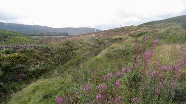
The Southern Uplands in Lanarkshire is a range of mountains and hills located in South Central Scotland. Stretching from the southwest coast to the eastern border with England, it covers an area of approximately 4,000 square miles. This region is known for its rugged and diverse landscape, featuring rolling hills, deep valleys, and towering peaks.
The highest point in the Southern Uplands is Merrick, reaching an elevation of 2,766 feet (843 meters). Other prominent summits include Lowther Hill (2,342 feet or 711 meters) and Hart Fell (2,651 feet or 808 meters). These mountains provide breathtaking panoramic views of the surrounding countryside.
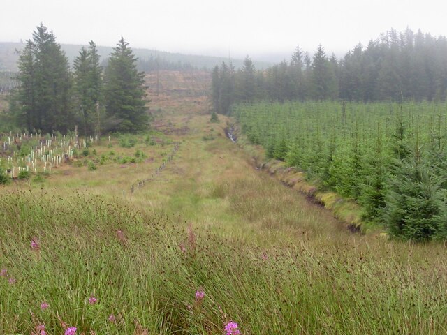
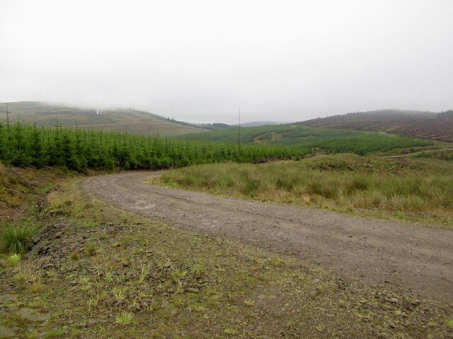
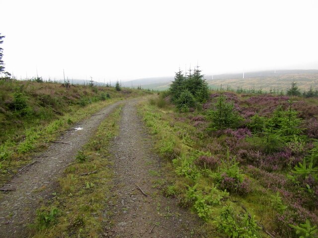
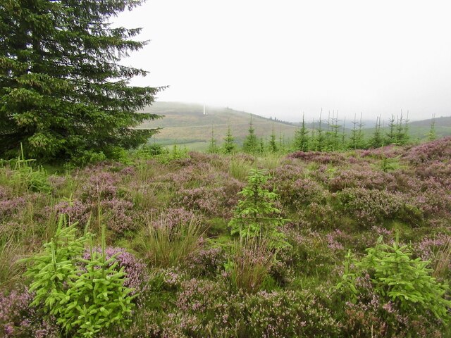
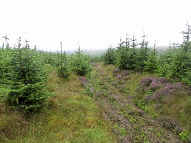
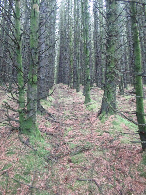
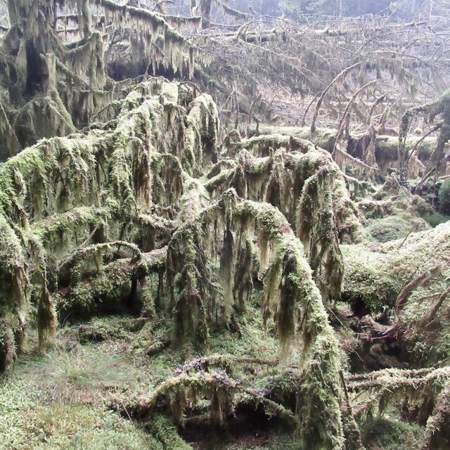
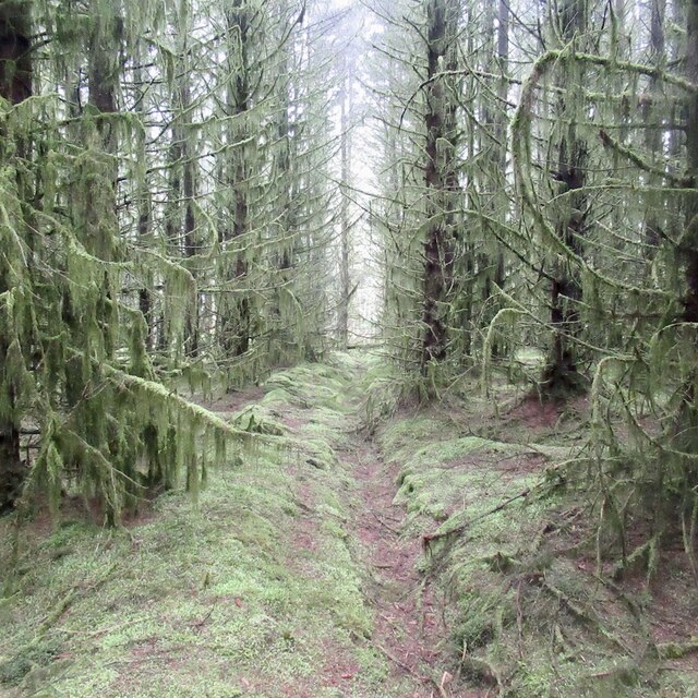
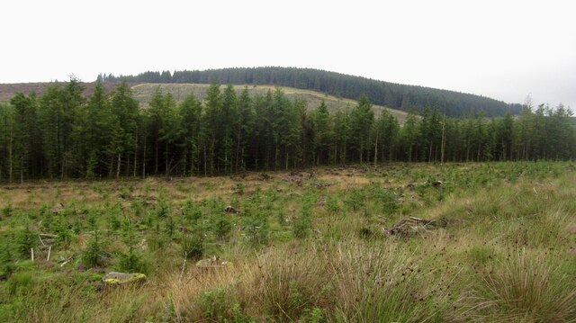
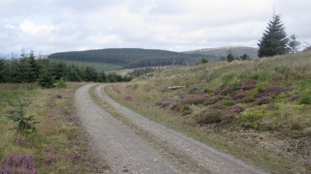
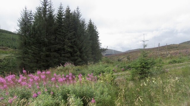
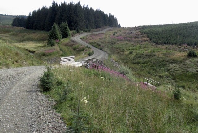
The Southern Uplands are characterized by a mix of grassy moorlands, heather-covered hillsides, and scattered woodlands. The area is rich in wildlife, with various species of birds, mammals, and plants inhabiting the region. Red deer, foxes, and golden eagles are among the creatures that call this area home.
The Southern Uplands also boasts several picturesque rivers, such as the River Clyde and the River Annan, which meander through the valleys. These rivers not only provide stunning scenery but also offer opportunities for fishing and water-based activities.
Due to its diverse topography, the Southern Uplands in Lanarkshire attracts outdoor enthusiasts, hikers, and nature lovers. The area features numerous trails and paths, allowing visitors to explore its natural beauty on foot or by bike. Additionally, several charming towns and villages are scattered throughout the region, offering visitors a glimpse into the local culture and history.
Overall, the Southern Uplands in Lanarkshire is a captivating and awe-inspiring landscape that showcases the beauty of Scotland's natural environment.
If you have any feedback on the listing, please let us know in the comments section below.
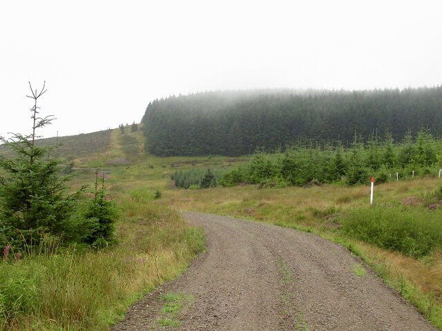
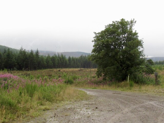
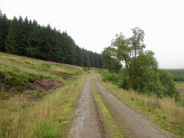
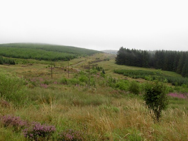
Southern Uplands Images
Images are sourced within 2km of 55.427053/-3.5424342 or Grid Reference NT0215. Thanks to Geograph Open Source API. All images are credited.

Southern Uplands is located at Grid Ref: NT0215 (Lat: 55.427053, Lng: -3.5424342)
Unitary Authority: South Lanarkshire
Police Authority: Lanarkshire
What 3 Words
///blogs.marathon.clay. Near Moffat, Dumfries & Galloway
Nearby Locations
Related Wikis
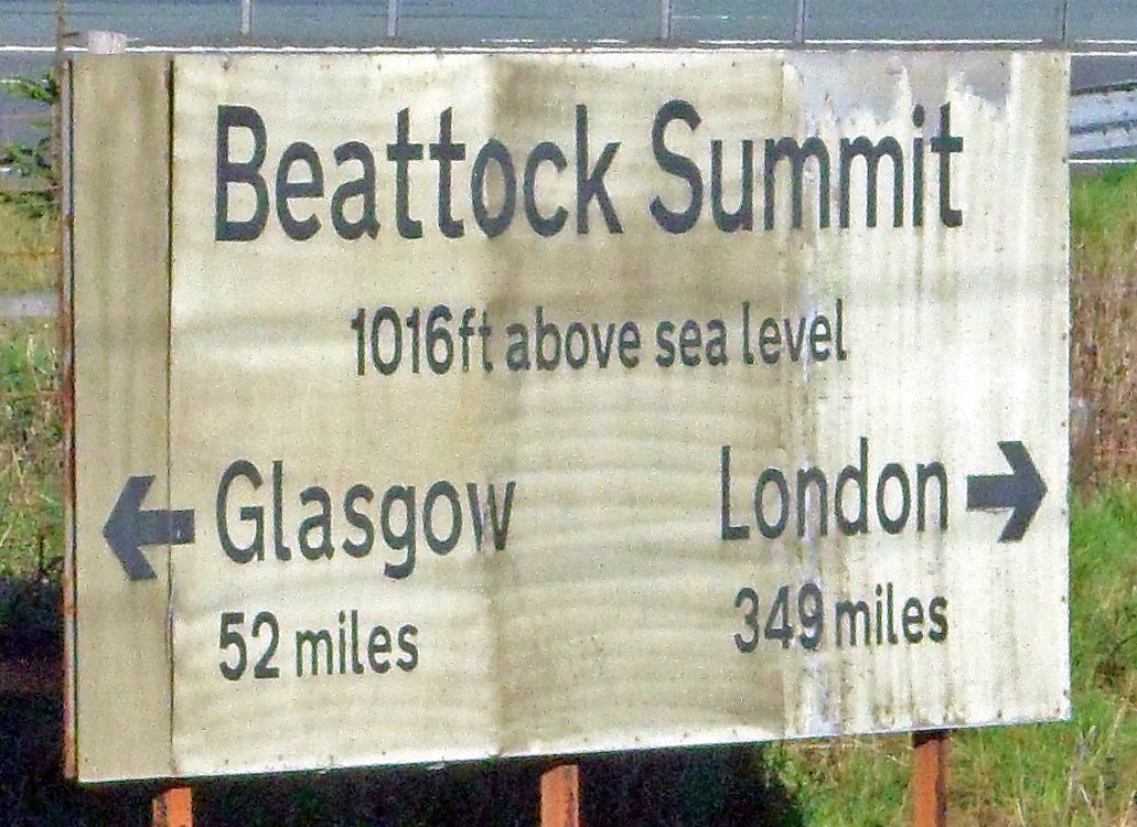
Beattock Summit
Beattock Summit is the highest point of the West Coast Main Line (WCML) railway and of the A74(M) motorway as they cross between Dumfries and Galloway...

Annanhead Hill
Annanhead Hill is a 478-metre (1,568 ft) summit in the Moffat Hills of Scotland. It lies on the boundary between the Scottish Borders and Dumfries and...

Devil's Beef Tub
The Devil's Beef Tub (Marquis of Annandale's Beef-Tub, Beef-Stand, MacCleran's Loup) is a deep, dramatic hollow in the hills north of the Scottish town...

Crown of Scotland (hill)
The Crown of Scotland is a hill in the Scottish Borders, Scotland. At a relatively small elevation from the surrounding peaks, it is situated to the north...
Nearby Amenities
Located within 500m of 55.427053,-3.5424342Have you been to Southern Uplands?
Leave your review of Southern Uplands below (or comments, questions and feedback).