Brendon Hills
Range Of Mountains, Range Of Hills in Somerset Somerset West and Taunton
England
Brendon Hills
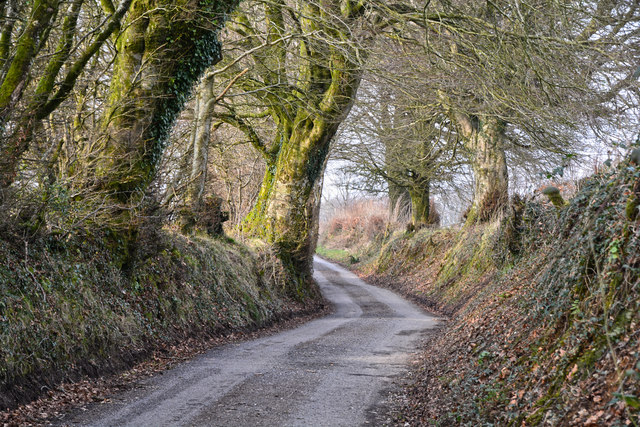
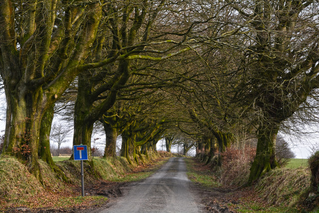
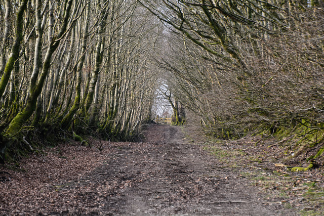
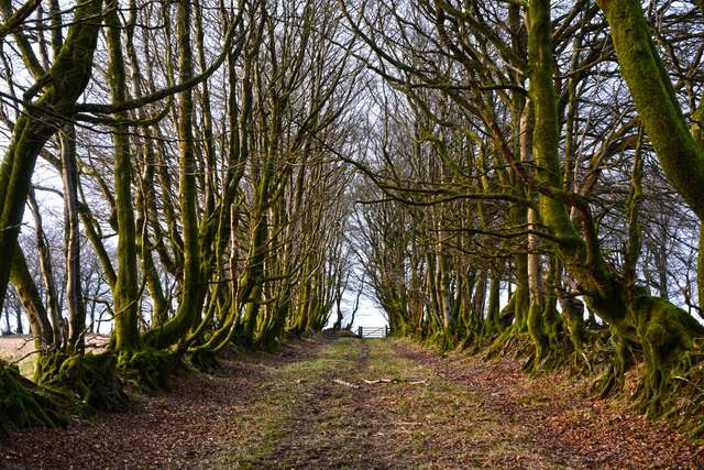
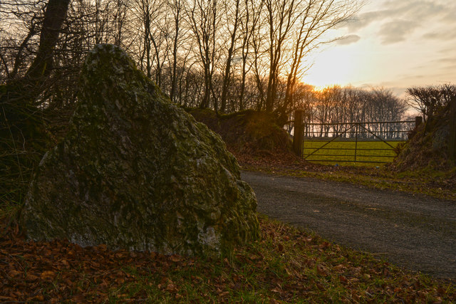
Brendon Hills is a range of hills located in Somerset, England. Situated in the western part of the county, the hills form a part of the larger Quantock Hills Area of Outstanding Natural Beauty. The range is characterized by its undulating landscape, offering breathtaking views of the surrounding countryside.
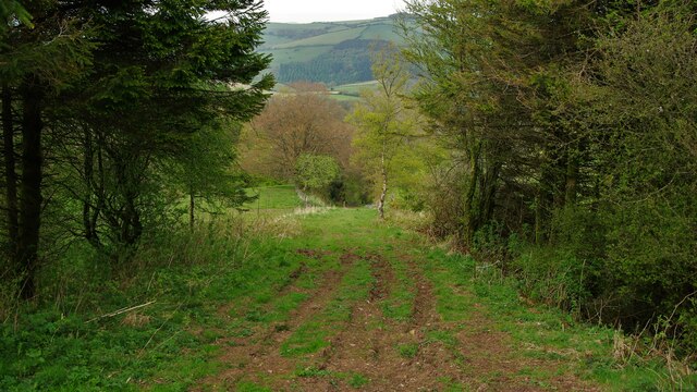
Stretching approximately 15 kilometers from east to west, the Brendon Hills rise to an elevation of around 400 meters at their highest point, known as Lype Hill. The hills are predominantly composed of sandstone, giving them a distinctive reddish-brown appearance. This geology also contributes to the rich diversity of flora and fauna found in the area.
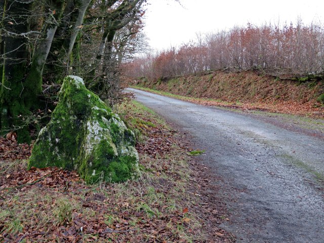
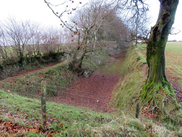
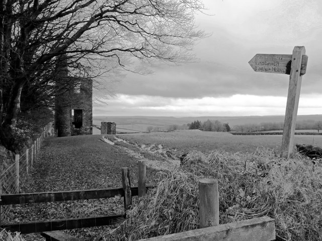
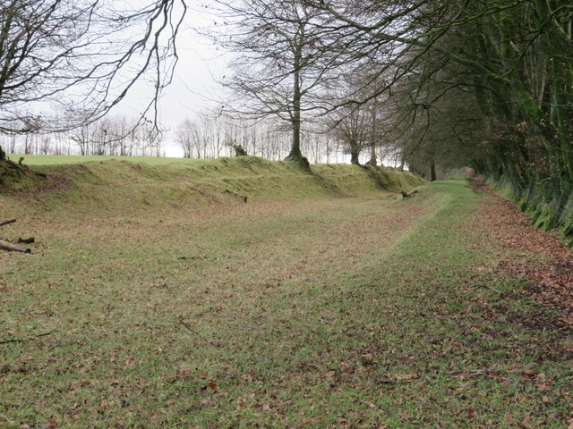
The Brendon Hills are crisscrossed by a network of footpaths and bridleways, making them popular among walkers, hikers, and nature enthusiasts. The range is home to several nature reserves and designated sites of scientific interest, showcasing a wide range of habitats, including woodlands, heathlands, and grasslands.
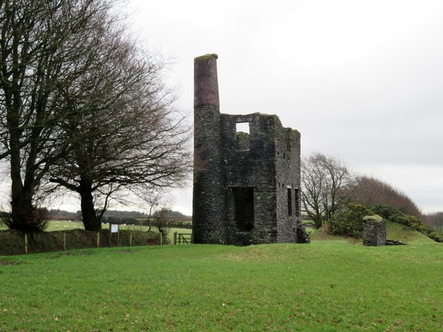
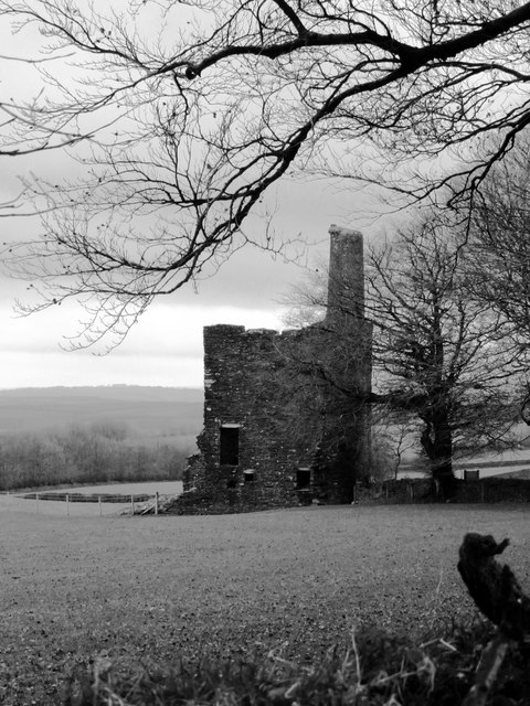
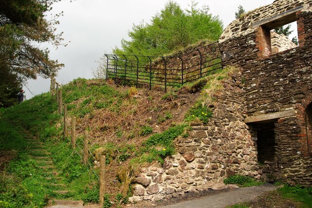
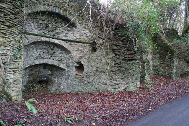
The hills are not only a haven for wildlife but also possess a significant historical and cultural heritage. Nestled within the range is the village of Luxborough, known for its traditional thatched cottages and historic church. Additionally, the Brendon Hills have a long association with mining, particularly in the 19th century when iron ore was extracted from the area.
Overall, Brendon Hills in Somerset offer a diverse and captivating landscape, combining natural beauty, recreational opportunities, and historical significance. Whether it is exploring the countryside, enjoying panoramic views, or delving into the region's rich past, the hills provide a unique and memorable experience for visitors and locals alike.
If you have any feedback on the listing, please let us know in the comments section below.
Brendon Hills Images
Images are sourced within 2km of 51.097071/-3.4003761 or Grid Reference ST0234. Thanks to Geograph Open Source API. All images are credited.


Brendon Hills is located at Grid Ref: ST0234 (Lat: 51.097071, Lng: -3.4003761)
Administrative County: Somerset
District: Somerset West and Taunton
Police Authority: Avon and Somerset
What 3 Words
///ruby.stripped.rehearsed. Near Wiveliscombe, Somerset
Nearby Locations
Related Wikis

Brendon Hill railway station
Brendon Hill (occasionally referred to as "Raleigh's Cross") was an intermediate station on the West Somerset Mineral Railway (WSMR), which was built primarily...

Comberow railway station
Comberow was an intermediate station on the West Somerset Mineral Railway (WSMR), which was built primarily to carry iron ore from mines to Watchet harbour...
Treborough
Treborough is a small village and civil parish 7 miles (11 km) south of Dunster, lying amongst the Brendon Hills within the Exmoor National Park in the...

St Peter's Church, Treborough
The Anglican St Peter's Church at Treborough within the English county of Somerset dates from the 14th century. It is a Grade II* listed building.Although...

Church of St Peter, Williton
The Anglican Church of St Peter in Williton in the English county of Somerset is recorded in the National Heritage List for England as a designated Grade...

Clatworthy Camp
Clatworthy Camp is an Iron Age hill fort 3 miles (4.8 km) North West of Wiveliscombe, Somerset, England. It has been scheduled as an Ancient Monument....

Church of St Mary Magdalene, Withiel Florey
The Anglican Church of St Mary Magdalene in Withiel Florey, Somerset, England was built in the 12th century. It is a Grade II* listed building. == History... ==

Clatworthy Reservoir
Clatworthy Reservoir is situated near Clatworthy in the Brendon Hills on the edge of the Exmoor National Park in west Somerset, England. It is run by Wessex...
Nearby Amenities
Located within 500m of 51.097071,-3.4003761Have you been to Brendon Hills?
Leave your review of Brendon Hills below (or comments, questions and feedback).