Brendon Hill
Hill, Mountain in Somerset Somerset West and Taunton
England
Brendon Hill
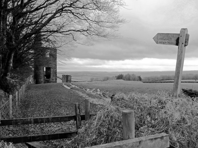
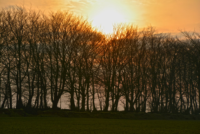
Brendon Hill is a prominent geographical feature located in Somerset, England. It is part of the Brendon Hills, a range of hills that stretch across Exmoor National Park. Rising to an elevation of 1,379 feet (420 meters), it is often referred to as "Brendon Beacon" due to its distinctive peak which offers breathtaking panoramic views of the surrounding area.
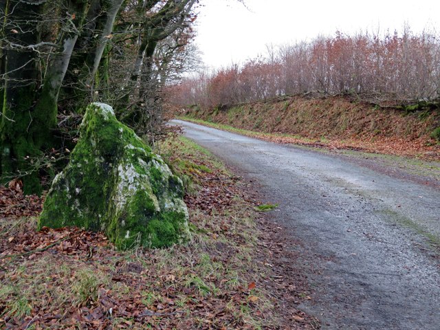
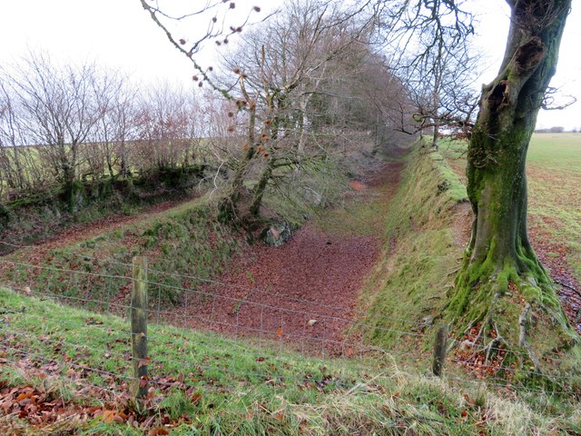
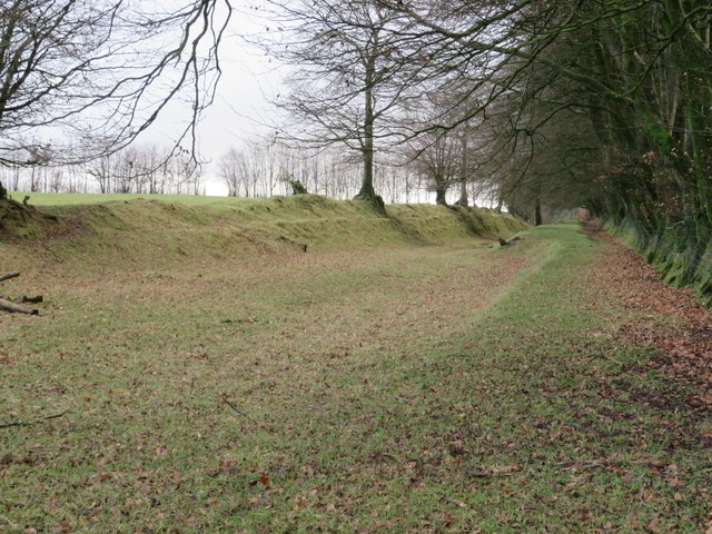
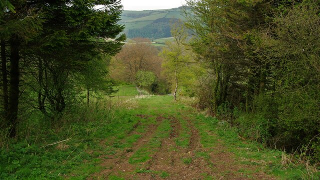
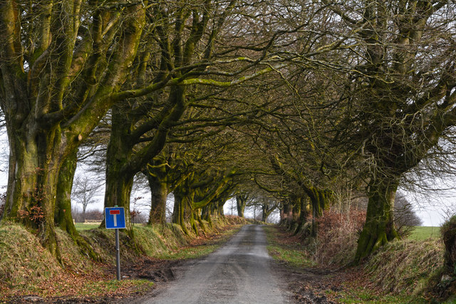
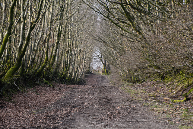
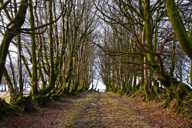
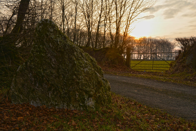
The hill is characterized by its steep slopes, rugged terrain, and diverse vegetation, including heather, gorse, and bracken. It is primarily composed of sandstone and shale, which have been shaped over thousands of years by erosion and natural forces. The western side of the hill is known for its deep valleys, while the eastern side gently slopes down towards the Exe Valley.
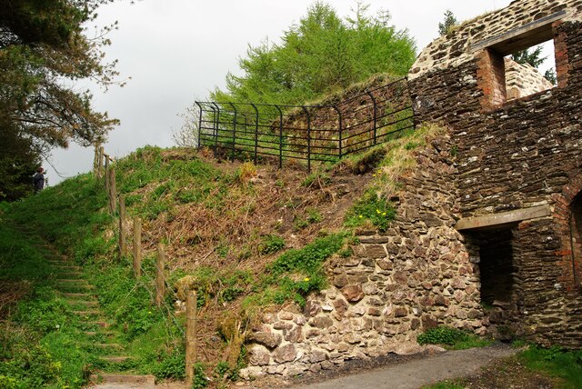
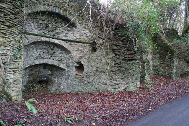
Brendon Hill is also home to several archaeological sites, including prehistoric burial mounds and ancient settlements. The area has a rich history, with evidence of human habitation dating back to the Neolithic period. Today, it attracts hikers, nature enthusiasts, and history buffs who are drawn to its natural beauty and cultural significance.
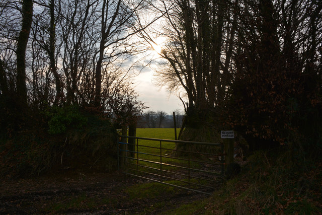
The hill is surrounded by picturesque countryside, with charming villages and rolling farmland scattered throughout the region. It is a popular destination for outdoor activities such as walking, cycling, and horse riding, with numerous trails and paths that traverse its slopes.
Overall, Brendon Hill is a captivating and diverse landscape that showcases the natural beauty of Somerset. With its stunning views, archaeological treasures, and recreational opportunities, it continues to captivate visitors from near and far.
If you have any feedback on the listing, please let us know in the comments section below.
Brendon Hill Images
Images are sourced within 2km of 51.101057/-3.3964546 or Grid Reference ST0234. Thanks to Geograph Open Source API. All images are credited.


Brendon Hill is located at Grid Ref: ST0234 (Lat: 51.101057, Lng: -3.3964546)
Administrative County: Somerset
District: Somerset West and Taunton
Police Authority: Avon and Somerset
What 3 Words
///objecting.lawfully.outwit. Near Williton, Somerset
Nearby Locations
Related Wikis

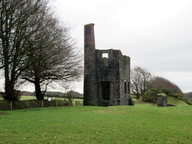
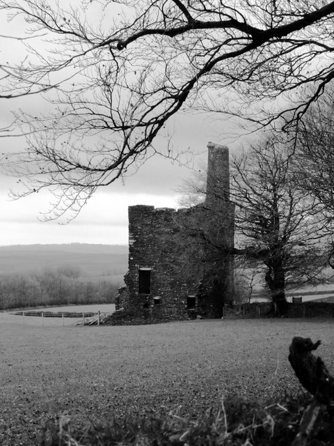
Brendon Hill railway station
Brendon Hill (occasionally referred to as "Raleigh's Cross") was an intermediate station on the West Somerset Mineral Railway (WSMR), which was built primarily...

Comberow railway station
Comberow was an intermediate station on the West Somerset Mineral Railway (WSMR), which was built primarily to carry iron ore from mines to Watchet harbour...
Treborough
Treborough is a small village and civil parish 7 miles (11 km) south of Dunster, lying amongst the Brendon Hills within the Exmoor National Park in the...

St Peter's Church, Treborough
The Anglican St Peter's Church at Treborough within the English county of Somerset dates from the 14th century. It is a Grade II* listed building.Although...

Church of St Peter, Williton
The Anglican Church of St Peter in Williton in the English county of Somerset is recorded in the National Heritage List for England as a designated Grade...

Clatworthy Camp
Clatworthy Camp is an Iron Age hill fort 3 miles (4.8 km) North West of Wiveliscombe, Somerset, England. It has been scheduled as an Ancient Monument....

Clatworthy Reservoir
Clatworthy Reservoir is situated near Clatworthy in the Brendon Hills on the edge of the Exmoor National Park in west Somerset, England. It is run by Wessex...

Church of St Mary Magdalene, Withiel Florey
The Anglican Church of St Mary Magdalene in Withiel Florey, Somerset, England was built in the 12th century. It is a Grade II* listed building. == History... ==
Nearby Amenities
Located within 500m of 51.101057,-3.3964546Have you been to Brendon Hill?
Leave your review of Brendon Hill below (or comments, questions and feedback).