Boreland Hills
Range Of Mountains, Range Of Hills in Kirkcudbrightshire
Scotland
Boreland Hills

Boreland Hills is a range of hills located in the historic county of Kirkcudbrightshire in southwest Scotland. Situated near the town of Gatehouse of Fleet, this range forms a part of the larger Galloway Hills, which extend across Dumfries and Galloway.
The Boreland Hills are characterized by their rolling landscape and stunning natural beauty. The range boasts a variety of peaks and valleys, with the highest point reaching an elevation of approximately 470 meters (1,540 feet). The hills are predominantly composed of granite and are covered in heather, grasses, and scattered woodland, creating a diverse and picturesque environment.
The area is a popular destination for outdoor enthusiasts, offering a range of activities such as hiking, mountain biking, and wildlife spotting. Several well-marked trails traverse the hills, providing breathtaking views of the surrounding countryside and glimpses of local wildlife, including red deer, buzzards, and peregrine falcons.
In addition to its natural beauty, Boreland Hills also hold historical significance. The hills are home to several ancient sites, including prehistoric hill forts and burial mounds. These remnants of past civilizations add an extra layer of intrigue to the area, attracting history enthusiasts and archaeologists alike.
Overall, Boreland Hills in Kirkcudbrightshire provides a serene and captivating landscape for visitors to explore. Its combination of rugged terrain, stunning vistas, and historical significance make it a must-visit destination for nature lovers and history buffs alike.
If you have any feedback on the listing, please let us know in the comments section below.
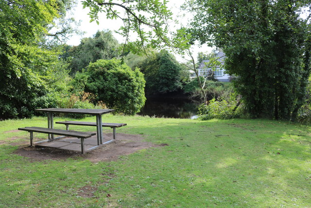
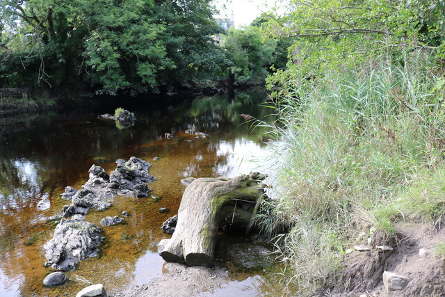
Boreland Hills Images
Images are sourced within 2km of 54.879778/-4.2007372 or Grid Reference NX5856. Thanks to Geograph Open Source API. All images are credited.


Boreland Hills is located at Grid Ref: NX5856 (Lat: 54.879778, Lng: -4.2007372)
Unitary Authority: Dumfries and Galloway
Police Authority: Dumfries and Galloway
What 3 Words
///bearings.prove.neatly. Near Kirkcudbright, Dumfries & Galloway
Nearby Locations
Related Wikis

Trusty's Hill
Trusty's Hill is a small vitrified hillfort about a mile to the west of the present-day town of Gatehouse of Fleet, in the parish of Anwoth in the Stewartry...
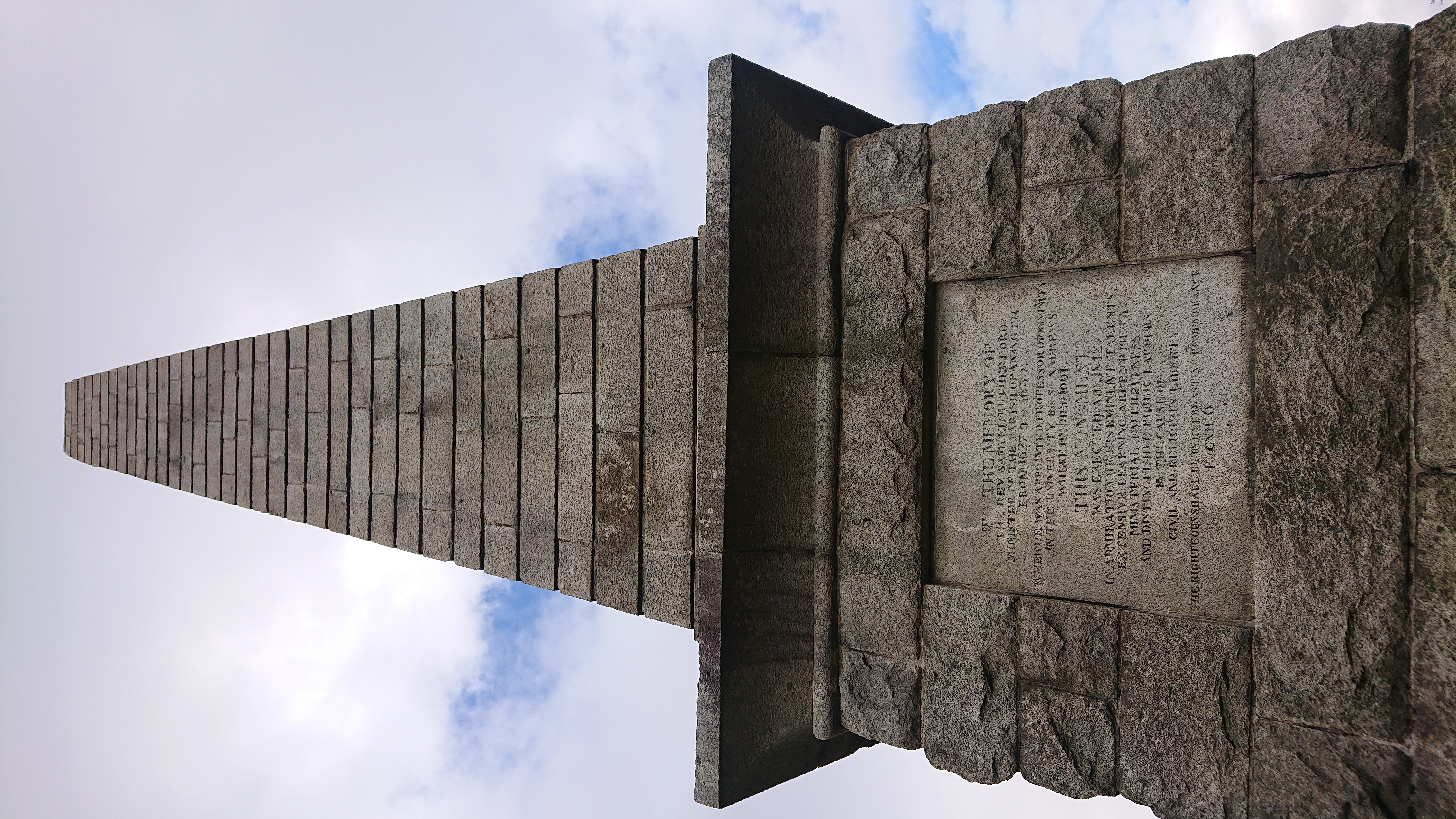
Rutherford's Monument
Rutherford's Monument is a commemorative monument between Anwoth and Gatehouse of Fleet in Dumfries and Galloway, Scotland. It is dedicated to the 17th...
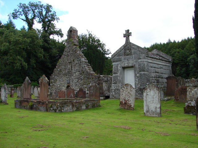
Anwoth Old Church
Anwoth Old Church is a ruined church building which was built in 1626 to serve the parish of Anwoth in Dumfries and Galloway, Scotland. It is roofless...

Anwoth Parish Church
Anwoth Parish Church was built in 1826 to serve the parish of Anwoth in Dumfries and Galloway, Scotland. Designed by Walter Newall, it replaced Anwoth...
Nearby Amenities
Located within 500m of 54.879778,-4.2007372Have you been to Boreland Hills?
Leave your review of Boreland Hills below (or comments, questions and feedback).