Leighgate Bottom
Valley in Kent Canterbury
England
Leighgate Bottom
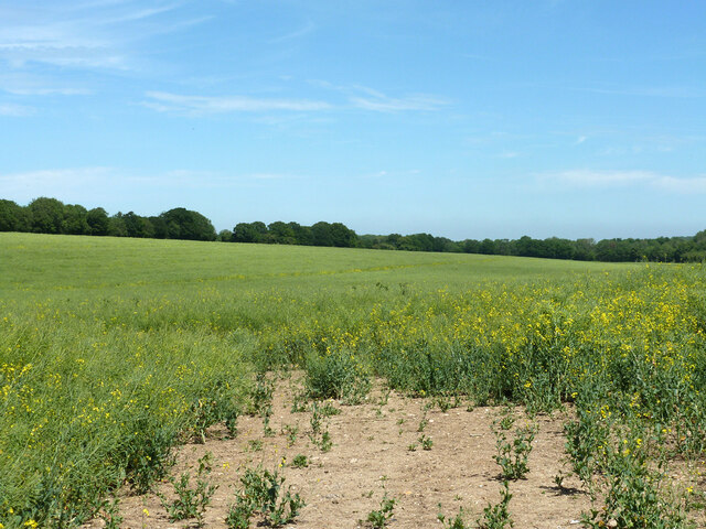
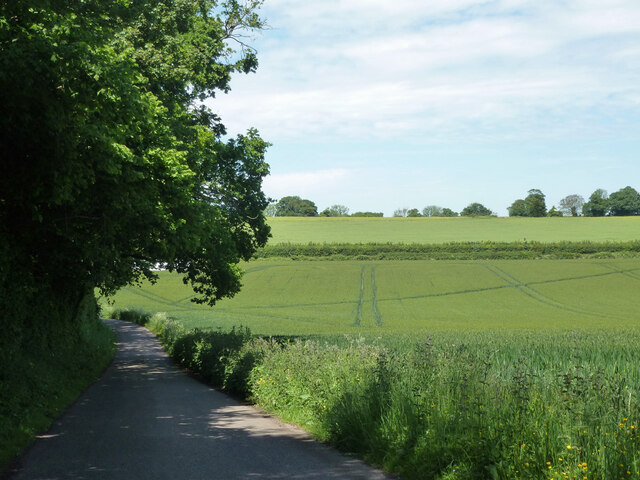
Leighgate Bottom, located in the county of Kent in southeastern England, is a picturesque valley situated within the larger area of Leigh near Tonbridge. Nestled among rolling hills and lush greenery, this tranquil spot offers a scenic retreat for both locals and visitors alike.
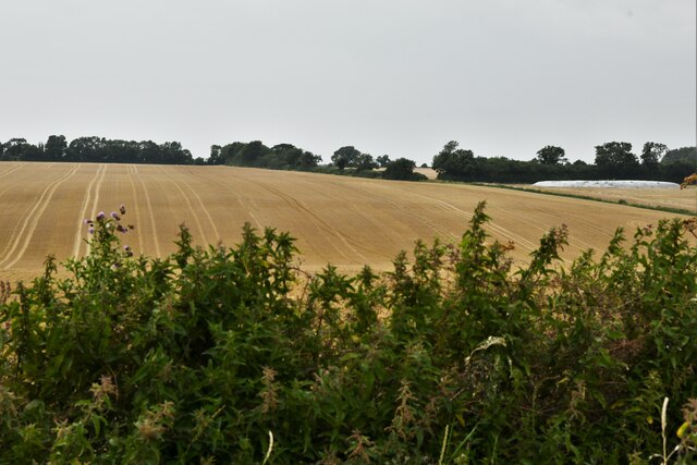
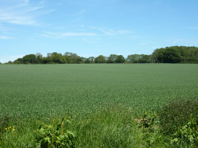
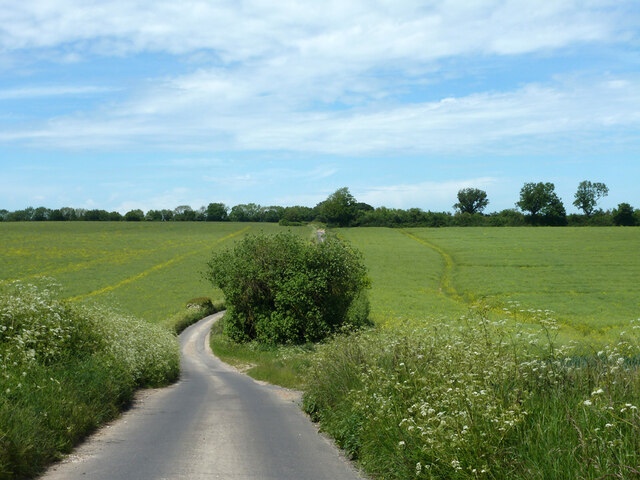
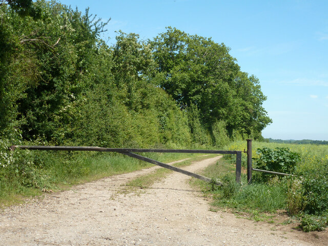
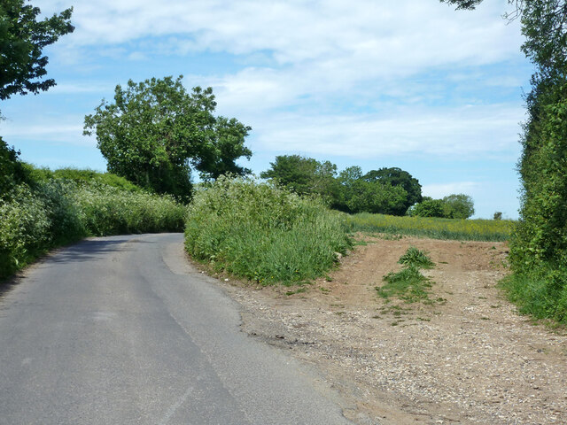
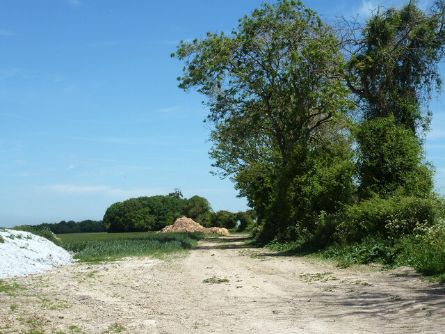
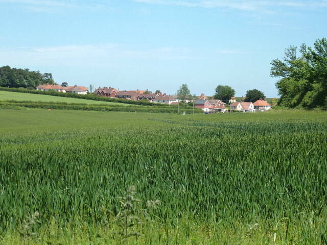
The valley of Leighgate Bottom is renowned for its natural beauty, with a meandering stream running through the heart of the valley, adding to its charm. The surrounding landscape is predominantly rural, featuring fields, meadows, and woodlands, making it an ideal destination for nature enthusiasts and hikers.
Leighgate Bottom is also home to a diverse range of flora and fauna, including various species of wildflowers, birds, and small mammals. The valley's rich biodiversity is attributed to its favorable climate and protected status, ensuring the preservation of its natural habitat.
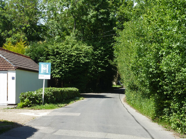
In addition to its natural attractions, Leighgate Bottom boasts a strong sense of community, with a number of small, close-knit villages scattered throughout the area. These villages offer a range of amenities, including local shops, pubs, and community centers, adding to the charm of the valley.
Visitors to Leighgate Bottom can enjoy a variety of outdoor activities, such as walking, cycling, and picnicking. The valley is also in close proximity to several notable landmarks and attractions, including the historic town of Tonbridge, with its medieval castle and riverside walks.
Overall, Leighgate Bottom is a picturesque and idyllic valley in Kent, offering a peaceful and natural retreat for those seeking to escape the bustle of city life and immerse themselves in the beauty of the English countryside.
If you have any feedback on the listing, please let us know in the comments section below.
Leighgate Bottom Images
Images are sourced within 2km of 51.204637/1.2075643 or Grid Reference TR2449. Thanks to Geograph Open Source API. All images are credited.


Leighgate Bottom is located at Grid Ref: TR2449 (Lat: 51.204637, Lng: 1.2075643)
Administrative County: Kent
District: Canterbury
Police Authority: Kent
What 3 Words
///give.period.fussy. Near Aylesham, Kent
Nearby Locations
Related Wikis

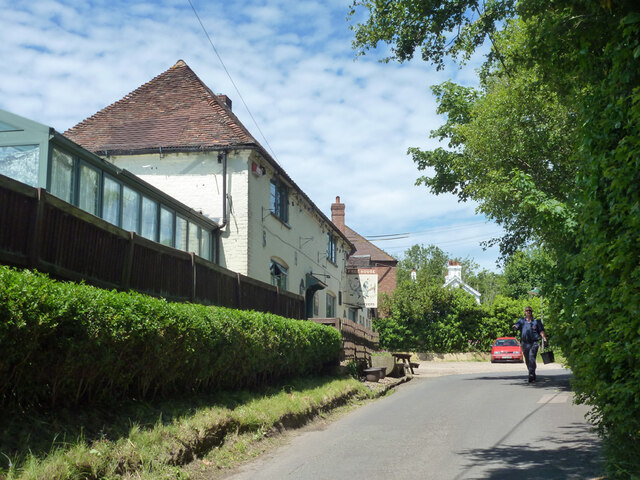
Woolage Village
Woolage Village is a former mining village situated midway between Canterbury and Dover in the English county of Kent. It is 1 mile (1.6 km) to the east...

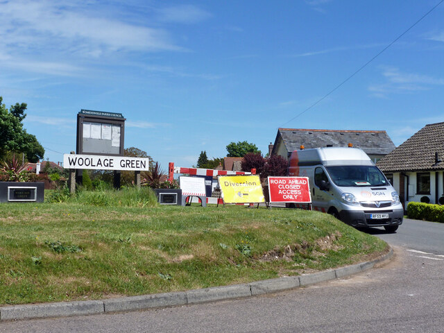
Woolage Green
Woolage Green is a small hamlet, situated about 7 miles (11 km) south-east of Canterbury, Kent, England, 1 mile to the east of the A2 road. Together with...

Snowdown
Snowdown is a hamlet near Dover in Kent, England. It was the location of one of the four chief collieries of the Kent coalfield, which closed in 1987....

Snowdown railway station
Snowdown railway station is on the Dover branch of the Chatham Main Line in England, and serves the hamlet of Snowdown, Kent. It is 69 miles 60 chains...
Nearby Amenities
Located within 500m of 51.204637,1.2075643Have you been to Leighgate Bottom?
Leave your review of Leighgate Bottom below (or comments, questions and feedback).