Deerson Valley
Valley in Kent Dover
England
Deerson Valley
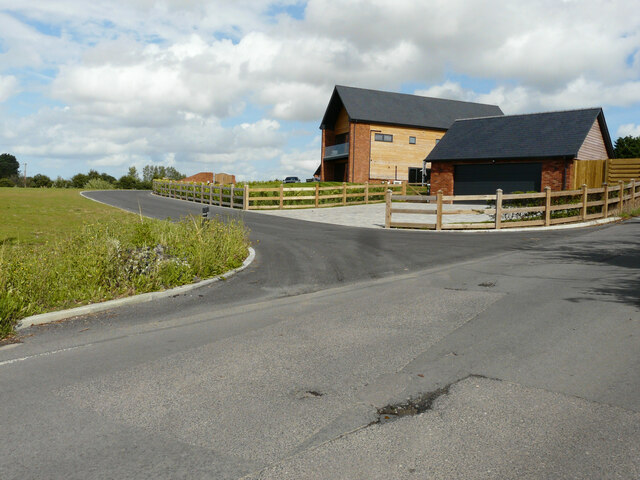
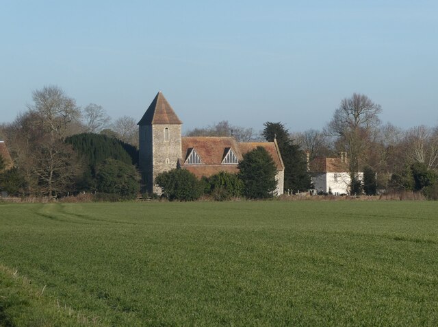
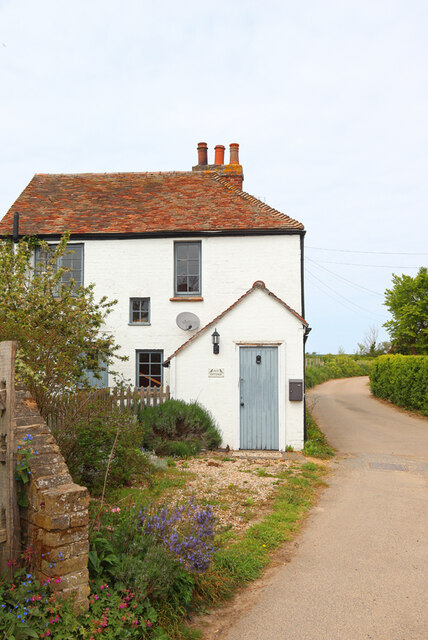
Deerson Valley, also known as Valley, is a small village located in the county of Kent, England. Situated in the picturesque landscape of the North Downs, Valley is surrounded by rolling hills, lush green fields, and beautiful woodlands.
The village is home to a close-knit community of approximately 500 residents. The main focal point of Valley is its charming village green, which serves as a gathering place for local events and activities. The green is adorned with a variety of well-maintained flower beds and a traditional village sign.
Valley boasts a range of amenities to cater to the needs of its residents. These include a local convenience store, a post office, a primary school, and a community center. The community center hosts various events such as fitness classes, art workshops, and social gatherings, fostering a sense of community spirit among the residents.
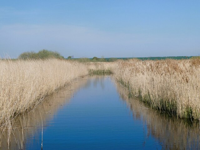
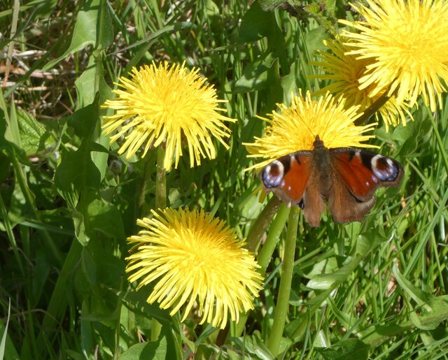
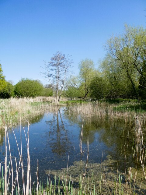
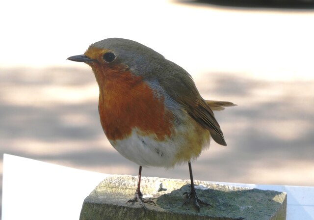
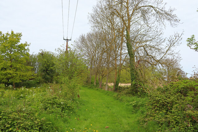
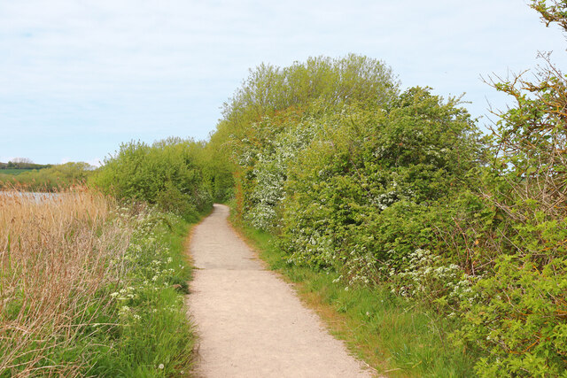
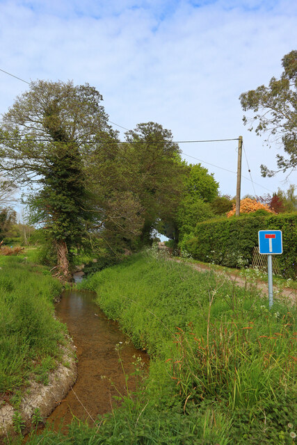
Nature lovers will find plenty to explore in Deerson Valley. The village is surrounded by an extensive network of walking trails, offering breathtaking views of the countryside. The nearby Deerson Woods provide a haven for wildlife enthusiasts, with a diverse range of flora and fauna to discover.
Despite its tranquil rural setting, Valley benefits from excellent transport links. The village is conveniently located near the A25 road, providing easy access to nearby towns and cities. The nearest train station is just a short drive away, connecting Valley to London and other major destinations.
In summary, Deerson Valley, Kent (Valley) is a charming village nestled in the scenic countryside of Kent. With its strong sense of community, beautiful surroundings, and convenient amenities, Valley offers a peaceful and idyllic lifestyle for its residents.
If you have any feedback on the listing, please let us know in the comments section below.
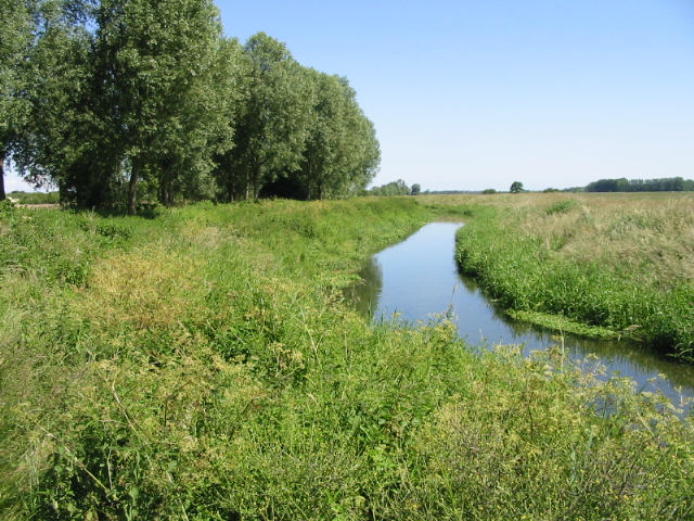
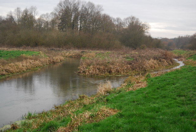
Deerson Valley Images
Images are sourced within 2km of 51.298367/1.2074409 or Grid Reference TR2360. Thanks to Geograph Open Source API. All images are credited.


Deerson Valley is located at Grid Ref: TR2360 (Lat: 51.298367, Lng: 1.2074409)
Administrative County: Kent
District: Dover
Police Authority: Kent
What 3 Words
///laugh.stocky.slicing. Near Wingham, Kent
Nearby Locations
Related Wikis
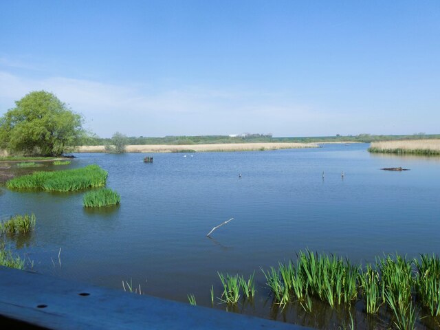
Preston Marshes
Preston Marshes is a 43.4-hectare (107-acre) biological Site of Special Scientific Interest east of Canterbury in Kent.This site in the valley of the River...
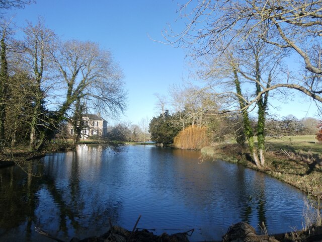
Wingham River
The River Wingham is a tributary of the Little Stour in Kent, England. The river runs from its source near Ash, west, through Wingham to the Little Stour...

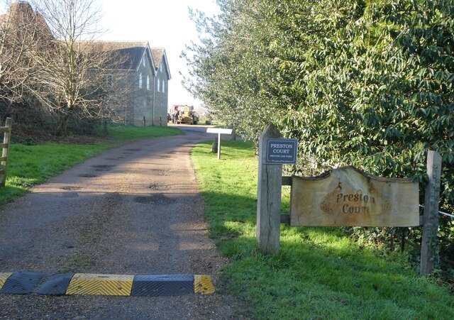
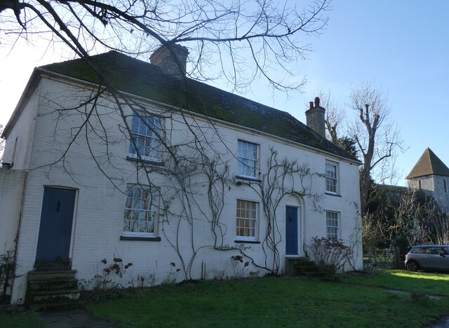
Preston-next-Wingham
Preston or Preston-next-Wingham is a civil parish and village in the valley of the Little Stour in the Dover District of Kent, England. The village is...

Stodmarsh
Stodmarsh is a small village in the civil parish of Wickhambreaux, in the Canterbury district, in east Kent, England. It is 5 miles to the east of Canterbury...
Nearby Amenities
Located within 500m of 51.298367,1.2074409Have you been to Deerson Valley?
Leave your review of Deerson Valley below (or comments, questions and feedback).