Three Barrows Down
Downs, Moorland in Kent Canterbury
England
Three Barrows Down
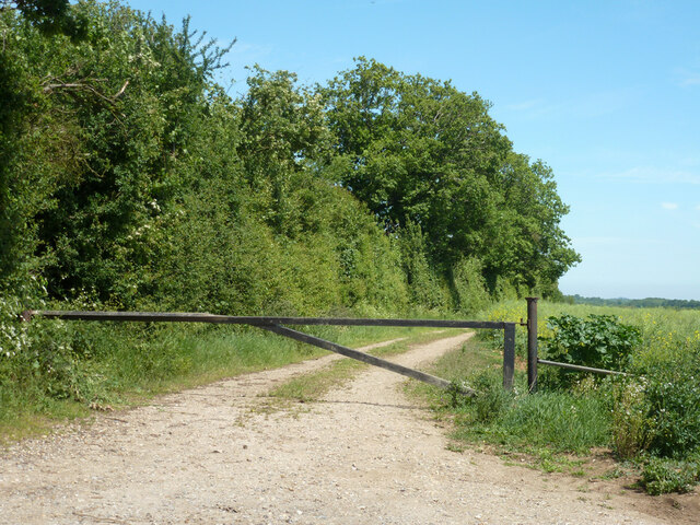
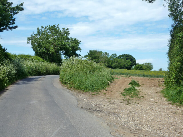
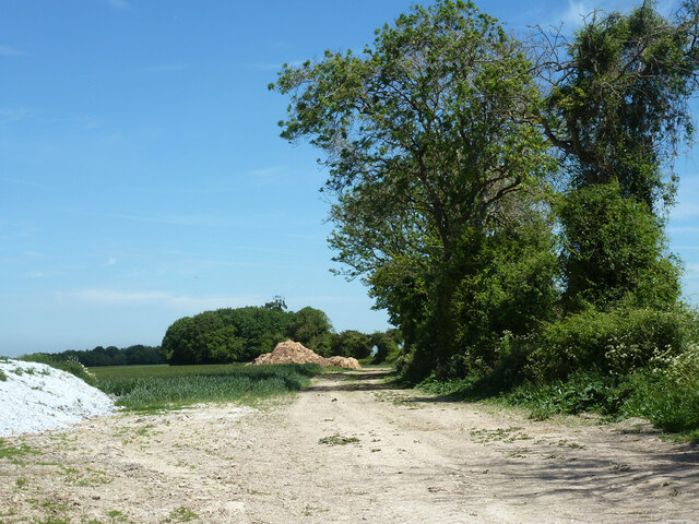
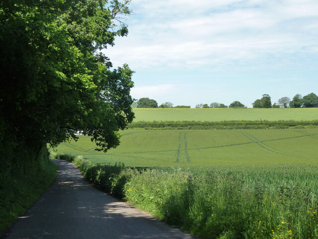
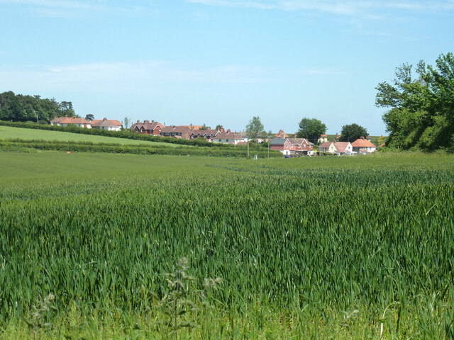
Three Barrows Down is a prominent feature located in the county of Kent, England. It is situated within the Kent Downs Area of Outstanding Natural Beauty, specifically within the North Downs, which is known for its rolling hills, picturesque landscapes, and rich biodiversity. This area is popular among outdoor enthusiasts, hikers, and nature lovers.
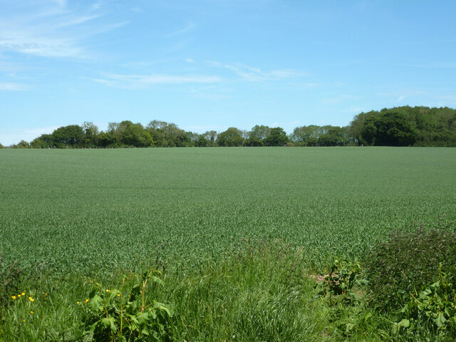
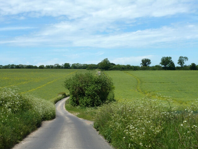
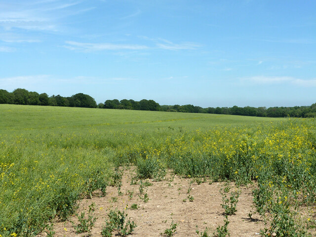
Three Barrows Down is characterized by its awe-inspiring moorland, which is a type of open habitat dominated by low-growing vegetation, such as heather, gorse, and grasses. The moorland provides a unique and diverse ecosystem, supporting a variety of plant and animal species. Visitors can witness the stunning display of wildflowers during the spring and summer months, including orchids, primroses, and bluebells.
The down also offers breathtaking views of the surrounding countryside, including the Kentish Weald to the north and the English Channel to the south. On a clear day, it is possible to see as far as the White Cliffs of Dover. The location provides a peaceful and tranquil atmosphere, making it an ideal spot for relaxation and contemplation.
Additionally, Three Barrows Down is steeped in history. The area contains several ancient burial mounds, or barrows, which date back thousands of years. These burial mounds are a testament to the rich cultural heritage of the region and offer a glimpse into the lives and customs of the past.
Overall, Three Barrows Down is a captivating destination within the Kent Downs, offering stunning moorland landscapes, diverse flora and fauna, and a glimpse into the area's ancient history.
If you have any feedback on the listing, please let us know in the comments section below.
Three Barrows Down Images
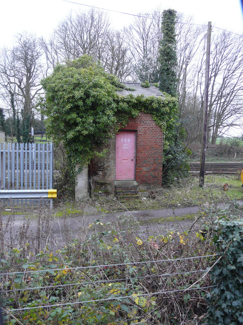
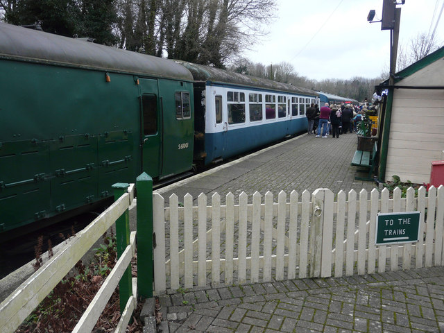
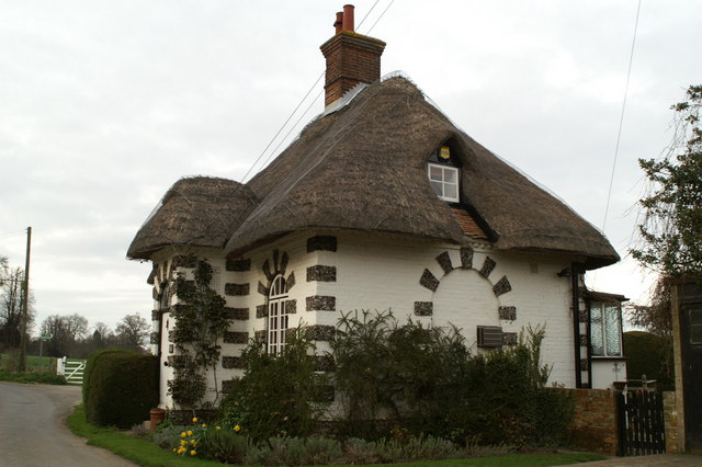
Images are sourced within 2km of 51.203054/1.2164174 or Grid Reference TR2449. Thanks to Geograph Open Source API. All images are credited.
Three Barrows Down is located at Grid Ref: TR2449 (Lat: 51.203054, Lng: 1.2164174)
Administrative County: Kent
District: Canterbury
Police Authority: Kent
What 3 Words
///totals.intention.romance. Near Shepherdswell, Kent
Nearby Locations
Related Wikis

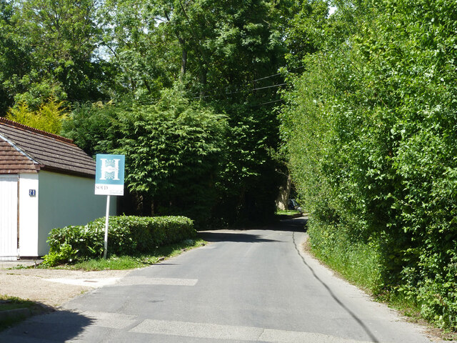
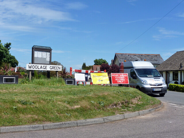
Woolage Green
Woolage Green is a small hamlet, situated about 7 miles (11 km) south-east of Canterbury, Kent, England, 1 mile to the east of the A2 road. Together with...
Frogham, Kent
Frogham is a hamlet in the Dover District of East Kent, England, between Canterbury and Dover. It is located between the former coal mining village of...

Woolage Village
Woolage Village is a former mining village situated midway between Canterbury and Dover in the English county of Kent. It is 1 mile (1.6 km) to the east...

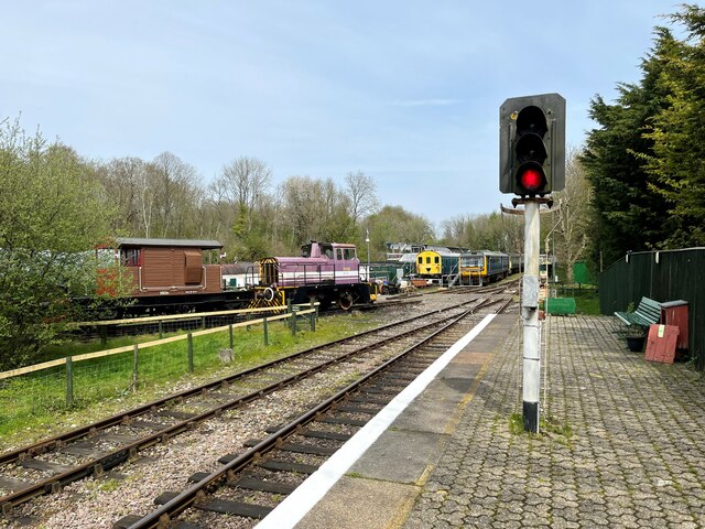
Snowdown railway station
Snowdown railway station is on the Dover branch of the Chatham Main Line in England, and serves the hamlet of Snowdown, Kent. It is 69 miles 60 chains...
Nearby Amenities
Located within 500m of 51.203054,1.2164174Have you been to Three Barrows Down?
Leave your review of Three Barrows Down below (or comments, questions and feedback).