Warren Bottom
Valley in Suffolk Babergh
England
Warren Bottom

Warren Bottom, also known as Suffolk Valley, is a picturesque village located in the county of Suffolk, England. Situated in the eastern part of the country, it is nestled in the heart of the stunning Suffolk countryside. The village is known for its serene and tranquil atmosphere, making it a popular destination for those seeking a peaceful retreat.
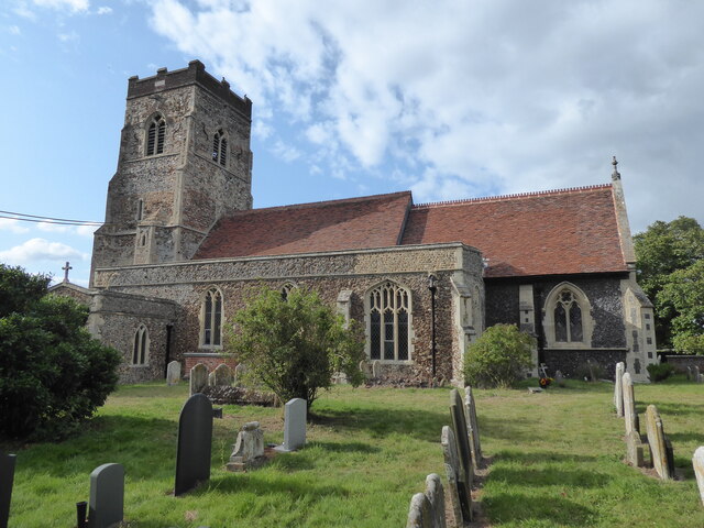
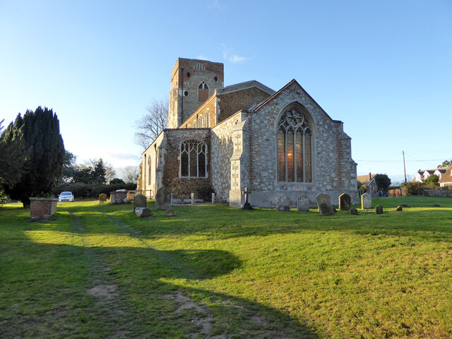
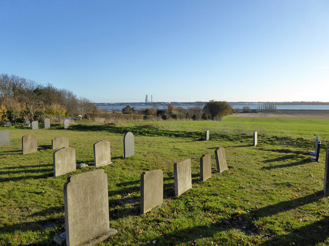
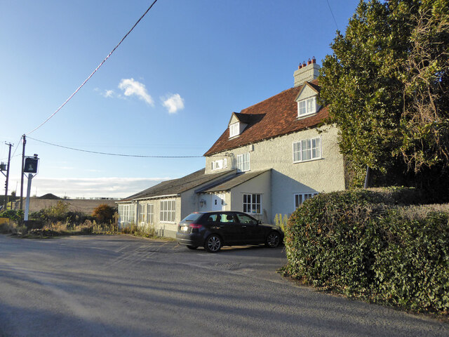
The landscape of Warren Bottom is characterized by rolling hills, lush green fields, and meandering streams. The area is dotted with charming cottages, many of which date back to the 18th and 19th centuries, adding to the village's quaint and traditional feel. The village is also home to a small but tight-knit community, known for its hospitality and friendly nature.
Despite its small size, Warren Bottom offers a range of amenities to its residents and visitors. The village boasts a well-maintained village green, where locals often gather for community events and activities. There is also a village hall, serving as a hub for various social gatherings and functions. For those seeking outdoor activities, the surrounding countryside provides ample opportunities for hiking, cycling, and exploring the natural beauty of the area.
The village is conveniently located near several larger towns and cities, including Ipswich and Bury St Edmunds, offering easy access to a wider range of amenities and services. Additionally, several historical landmarks and attractions are within reach from Warren Bottom, including the renowned Sutton Hoo archaeological site, which attracts tourists from across the globe.
In summary, Warren Bottom, Suffolk (Valley) is a charming village in the heart of the Suffolk countryside. With its tranquil setting, traditional architecture, and friendly community, it offers a peaceful retreat for residents and visitors alike.
If you have any feedback on the listing, please let us know in the comments section below.
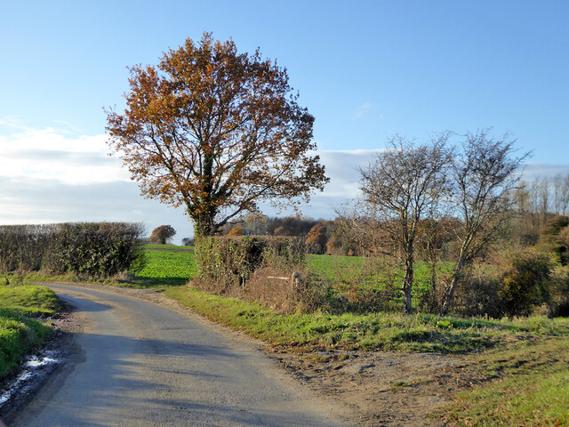
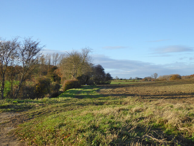
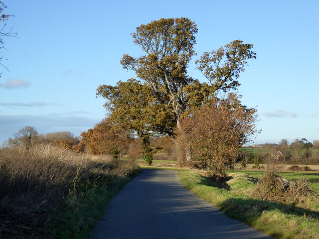
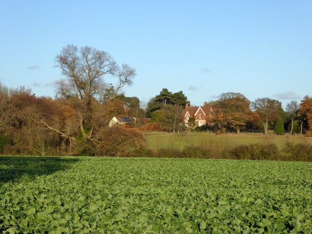
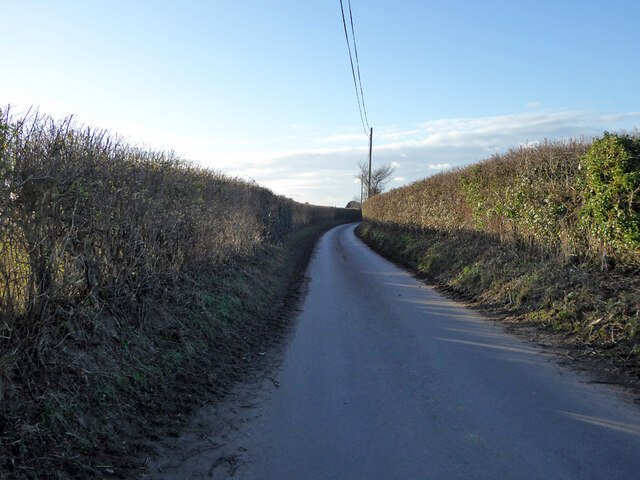
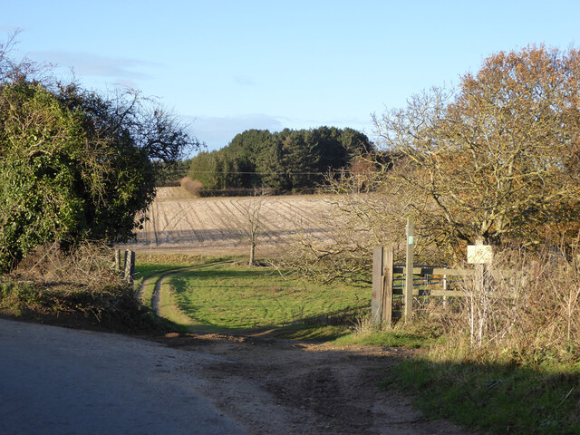
Warren Bottom Images
Images are sourced within 2km of 51.97011/1.21902 or Grid Reference TM2135. Thanks to Geograph Open Source API. All images are credited.


Warren Bottom is located at Grid Ref: TM2135 (Lat: 51.97011, Lng: 1.21902)
Administrative County: Suffolk
District: Babergh
Police Authority: Suffolk
What 3 Words
///scooter.reliving.junction. Near Shotley Gate, Suffolk
Nearby Locations
Related Wikis

Erwarton
Erwarton or Arwarton is a small village and civil parish in the Babergh district of Suffolk, England. The parish includes the hamlet of Shop Corner. Located...

Chelmondiston
Chelmondiston is a small village and civil parish in Suffolk, England located on the Shotley Peninsula, five miles south-east of Ipswich. The hamlet of...

River Stour, Suffolk
The River Stour (, pronounced rhyming with either "tour" or "sour") is a major river in East Anglia, England. It is 47 miles (76 km) long and forms most...

Shotley
Shotley is a village and civil parish 8 miles (13 km) south-east of Ipswich in the English county of Suffolk. It is in the Babergh district and gives its...
Have you been to Warren Bottom?
Leave your review of Warren Bottom below (or comments, questions and feedback).