Well Bottom
Valley in Sussex Lewes
England
Well Bottom
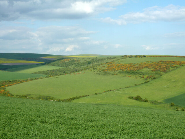
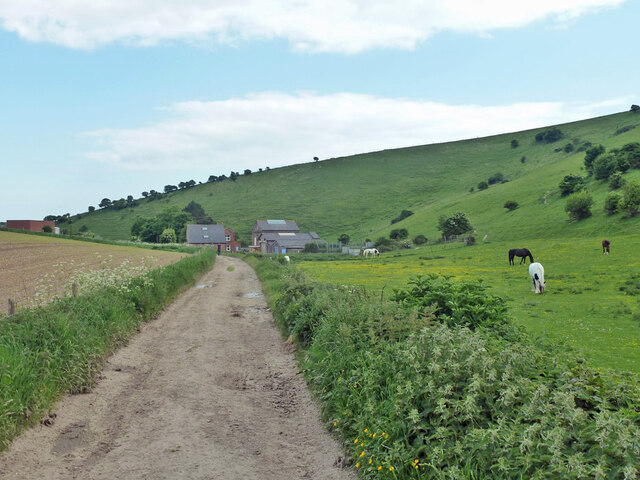
Well Bottom is a small village located in the picturesque county of Sussex, England. Situated in the heart of the Sussex Valley, the village is surrounded by lush green fields and rolling hills, providing residents and visitors with a tranquil countryside setting.
The village itself is characterized by its quaint charm and traditional architecture. Well Bottom is home to a collection of charming cottages and houses, many of which date back several centuries. The village center is centered around a historic well, which serves as a focal point for the community. The well has been a source of water for the villagers for generations and remains a symbol of the village's history and heritage.
Despite its small size, Well Bottom boasts a strong sense of community. The villagers are known for their warmth and friendliness, making it a welcoming place for both residents and visitors alike. The village has a local pub, The Well Inn, which serves as a meeting place for villagers and a hub of social activity.
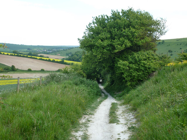
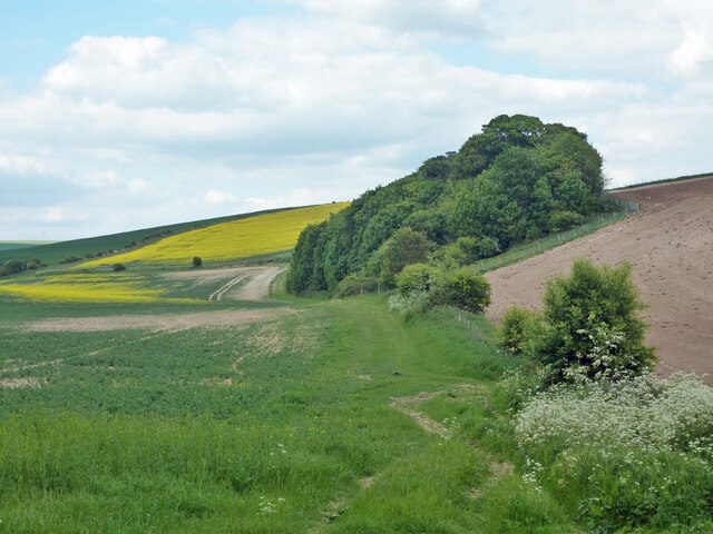
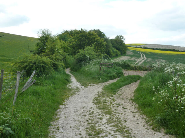
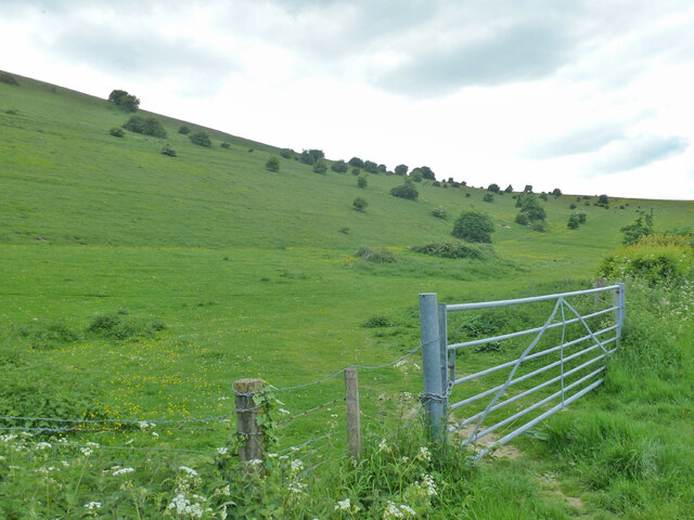
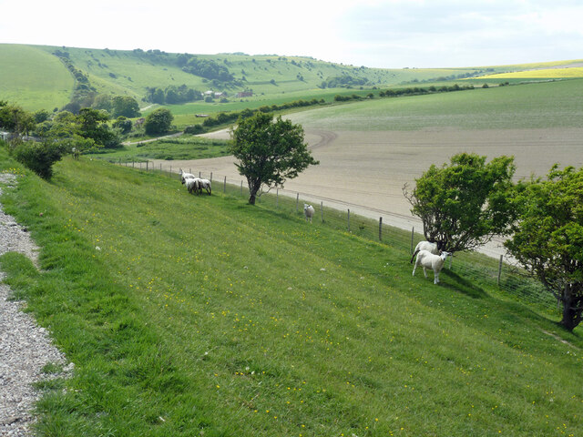
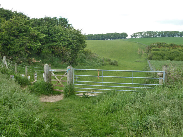
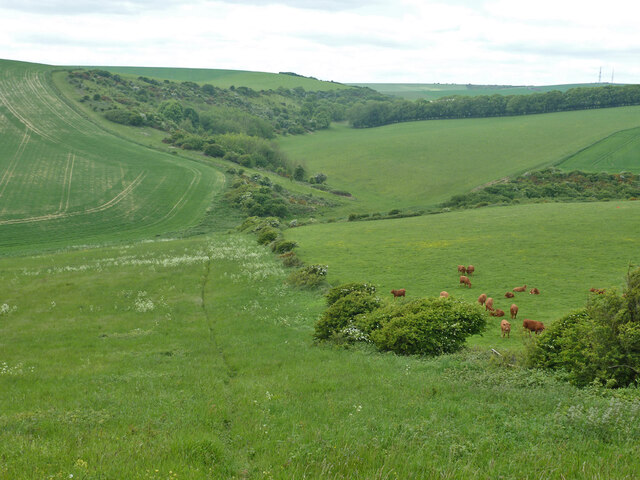
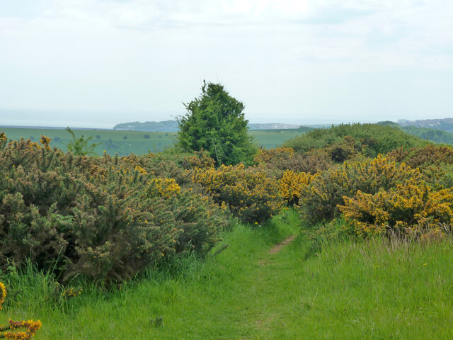
The surrounding countryside offers a wealth of outdoor activities for nature enthusiasts. The Sussex Valley is known for its scenic beauty, with numerous walking and cycling paths that allow visitors to explore the stunning landscapes. Additionally, the area is famous for its wildlife, including a wide variety of bird species and rare plants.
Overall, Well Bottom, Sussex, is a charming village nestled in the heart of the Sussex Valley, offering a peaceful and idyllic setting for those seeking a quintessentially English countryside experience.
If you have any feedback on the listing, please let us know in the comments section below.
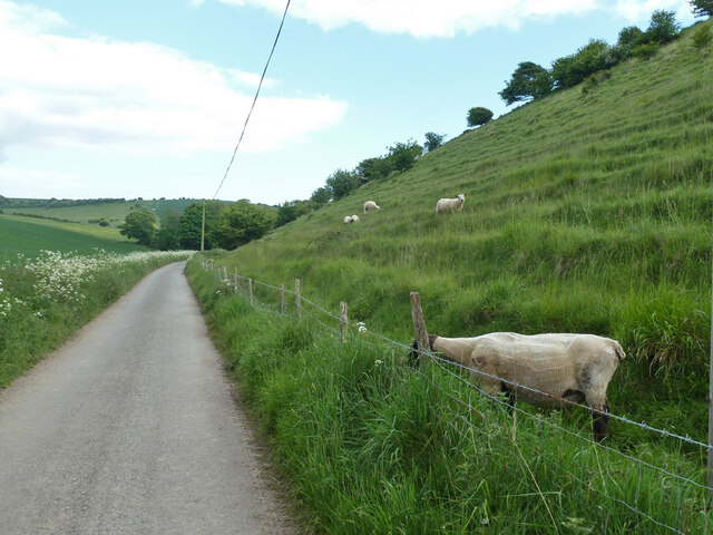
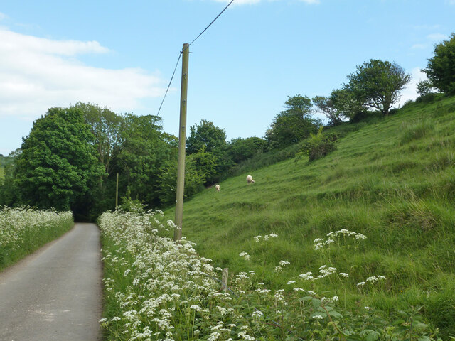
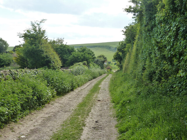
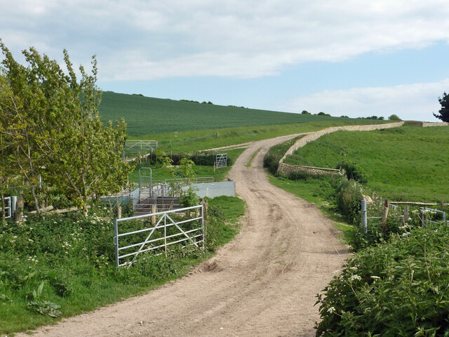
Well Bottom Images
Images are sourced within 2km of 50.805075/0.10116719 or Grid Reference TQ4802. Thanks to Geograph Open Source API. All images are credited.


Well Bottom is located at Grid Ref: TQ4802 (Lat: 50.805075, Lng: 0.10116719)
Administrative County: East Sussex
District: Lewes
Police Authority: Sussex
What 3 Words
///everybody.canines.twists. Near Newhaven, East Sussex
Nearby Locations
Related Wikis

Bishopstone, East Sussex
Bishopstone (also known as BIP) is a village and former civil parish, now in the parish of Seaford, in the Lewes district, in the county of East Sussex...

Firle Hill Climb
Firle Hill Climb is a disused hillclimbing course near Lewes, East Sussex, England, sometimes referred to as Bo Peep Hill Climb. The event was celebrated...
Long Burgh Long Barrow
Long Burgh Long Barrow, is an unchambered long barrow located near to the village of Alfriston in the south-eastern English county of East Sussex. Probably...
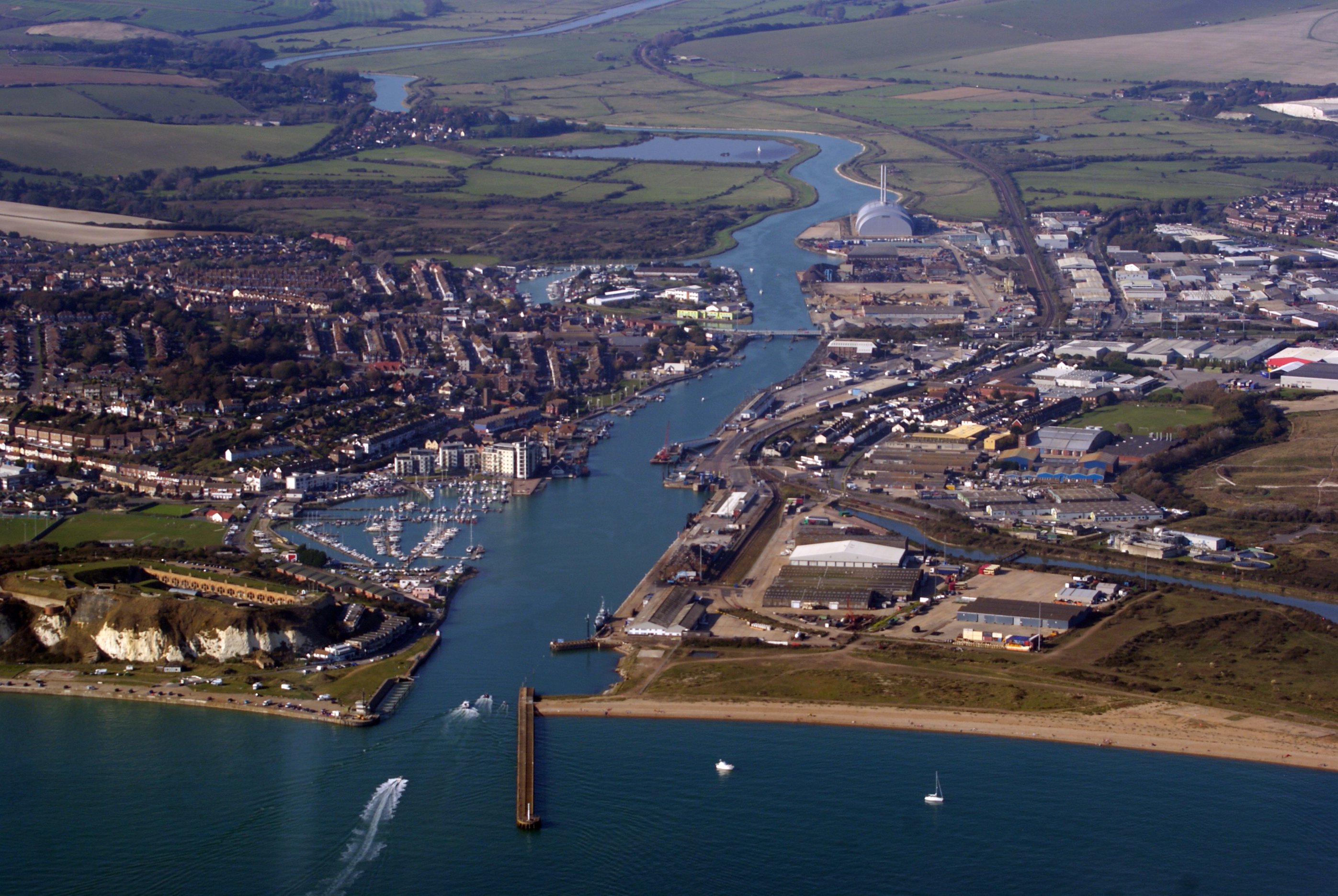
Newhaven, East Sussex
Newhaven is a port town in East Sussex in England, lying at the mouth of the River Ouse. The town developed during the Middle Ages as the nearby port of...

Denton, East Sussex
Denton is a small village in the civil parish of Newhaven, in the Lewes district, in the county of East Sussex, England. It adjoins the villages of South...

Bishopstone railway station
Bishopstone railway station is on the western side of the town of Seaford, East Sussex, England. It is situated close to the coast, and about 1 mile (1...

Bishopstone Beach Halt railway station
Bishopstone Beach Halt was a railway station in East Sussex, England that was opened on 1 June 1864 and closed on 1 January 1942. The station was built...

Firle Escarpment
Firle Escarpment is a 302.1-hectare (747-acre) biological Site of Special Scientific Interest north of Seaford in East Sussex.This is a long stretch of...
Have you been to Well Bottom?
Leave your review of Well Bottom below (or comments, questions and feedback).