Blackstone Bottom
Valley in Sussex Wealden
England
Blackstone Bottom
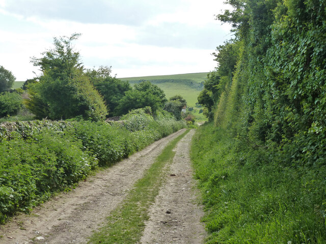
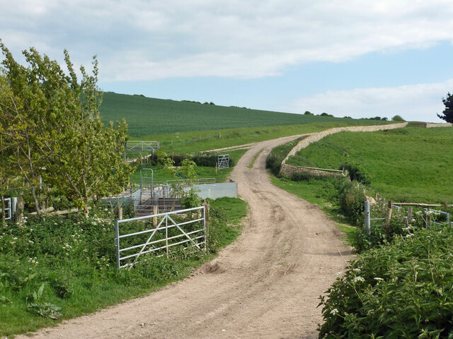
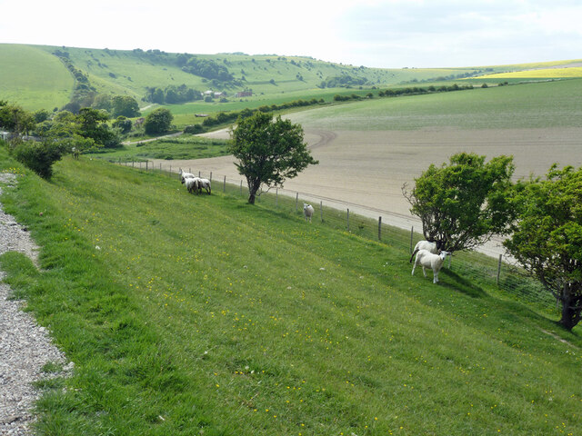
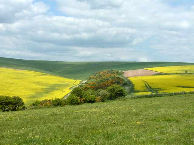
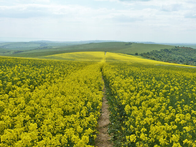
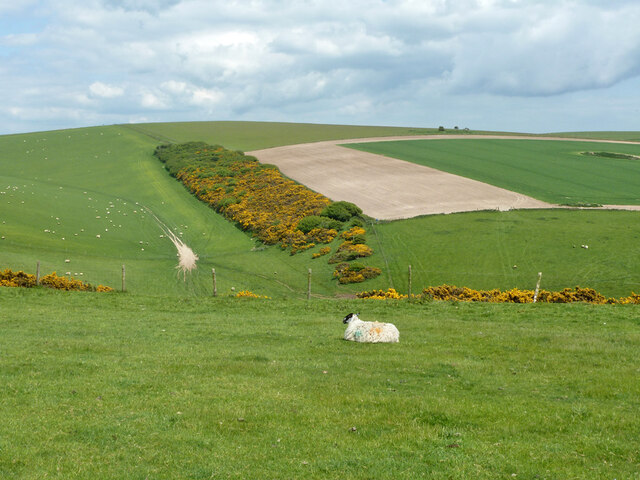
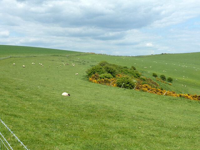
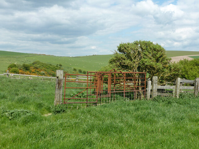
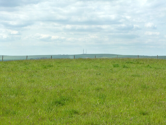
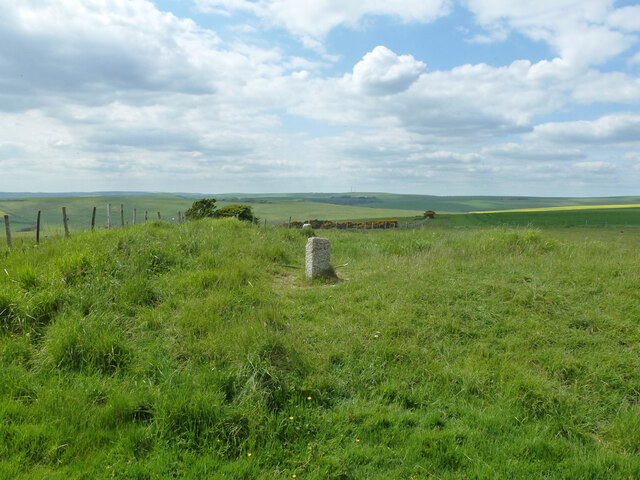
Blackstone Bottom is a picturesque valley located in the county of Sussex, England. Nestled amidst the rolling countryside, this charming rural area is renowned for its natural beauty and tranquility. The valley is situated in the South Downs National Park, a protected area that showcases the stunning landscapes and diverse wildlife of the region.
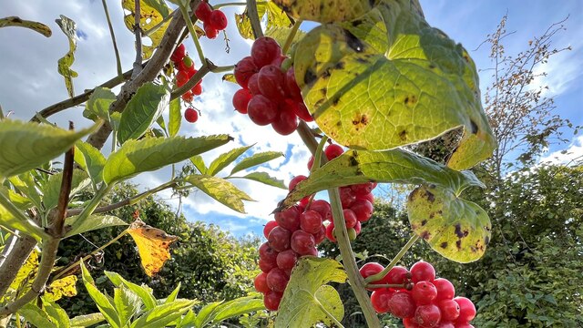
The valley gets its name from the Blackstone River that flows through it, adding to the allure of the surroundings. Lush green meadows, gentle slopes, and ancient woodlands make up the majority of the landscape, creating a striking contrast against the vibrant blue skies above.
Blackstone Bottom is a haven for nature enthusiasts and outdoor adventurers. The valley offers numerous walking trails and cycling routes, allowing visitors to explore the area's natural wonders at their own pace. The abundant wildlife includes rare bird species, butterflies, and even occasional sightings of deer and foxes.
In addition to its natural beauty, Blackstone Bottom boasts a rich history. The valley has evidence of human habitation dating back thousands of years, with archaeological finds suggesting its use during the Roman era. Today, remnants of old settlements and historic landmarks can still be found, adding to the valley's allure for history buffs and culture enthusiasts.
Overall, Blackstone Bottom is a hidden gem in Sussex, offering a peaceful retreat from the bustling city life. Whether it's enjoying a leisurely walk, immersing in nature, or exploring the area's history, visitors are bound to find solace and serenity in this idyllic valley.
If you have any feedback on the listing, please let us know in the comments section below.
Blackstone Bottom Images
Images are sourced within 2km of 50.805348/0.1119664 or Grid Reference TQ4802. Thanks to Geograph Open Source API. All images are credited.


Blackstone Bottom is located at Grid Ref: TQ4802 (Lat: 50.805348, Lng: 0.1119664)
Administrative County: East Sussex
District: Wealden
Police Authority: Sussex
What 3 Words
///dictation.acrobat.fallen. Near Seaford, East Sussex
Nearby Locations
Related Wikis

Long Burgh Long Barrow
Long Burgh Long Barrow, is an unchambered long barrow located near to the village of Alfriston in the south-eastern English county of East Sussex. Probably...
Firle Hill Climb
Firle Hill Climb is a disused hillclimbing course near Lewes, East Sussex, England, sometimes referred to as Bo Peep Hill Climb. The event was celebrated...

Bishopstone, East Sussex
Bishopstone (also known as BIP) is a village and former civil parish, now in the parish of Seaford, in the Lewes district, in the county of East Sussex...

Litlington White Horse
The Litlington White Horse is a chalk hill figure depicting a horse, situated on Hindover Hill (known locally as High-and-Over) in the South Downs, looking...

Alfriston Windmill
Alfriston Windmill is a tower mill at Alfriston, Sussex, England which has been converted to residential accommodation. == History == Alfriston Windmill...

Alfriston
Alfriston is a village and civil parish in the East Sussex district of Wealden, England. The village lies in the valley of the River Cuckmere, about four...

Dean's Place Hotel
Dean's Place in Alfriston, East Sussex is a building of historical significance and is listed on the English Heritage Register. It was built in the 17th...
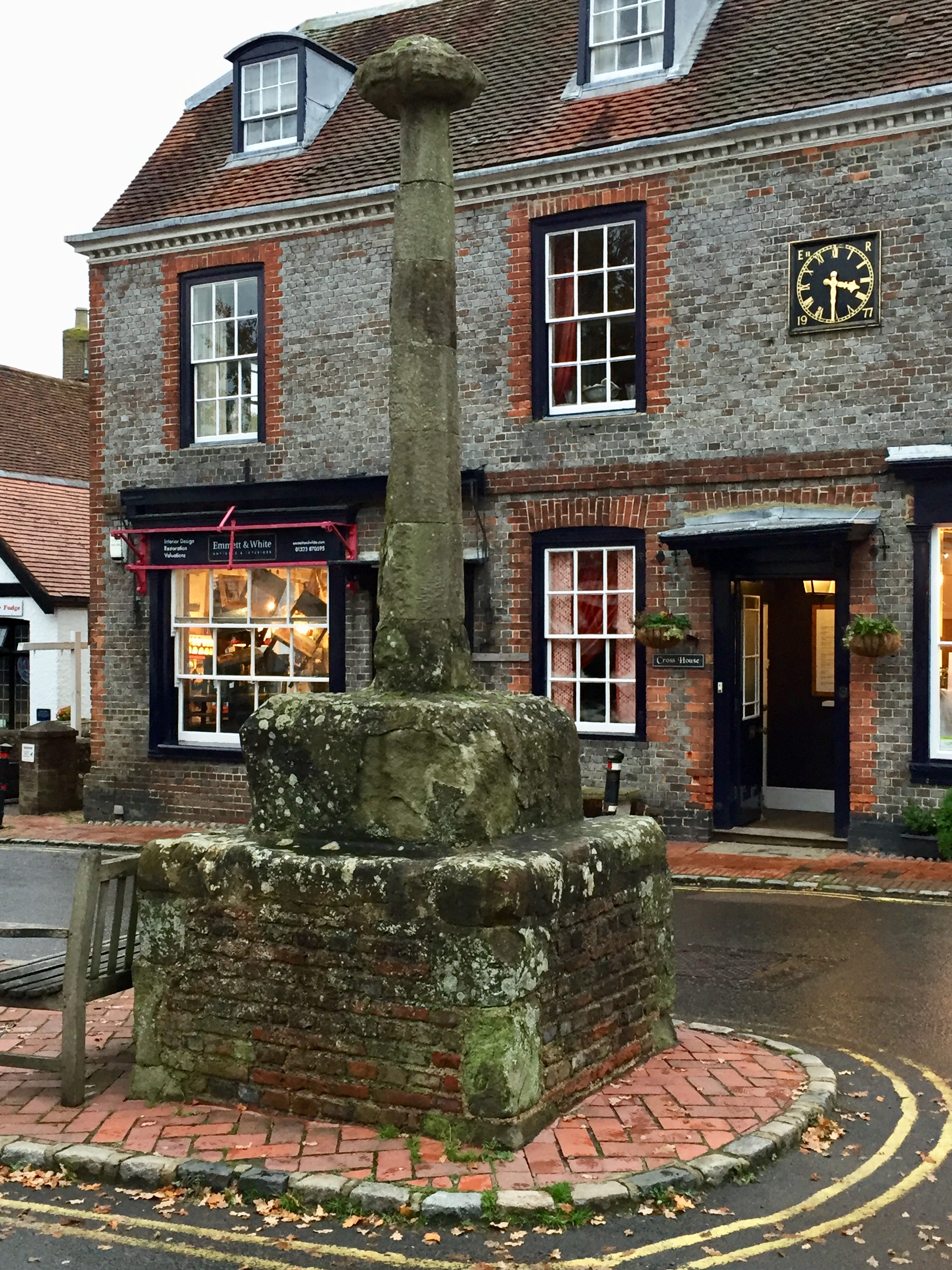
Alfriston Market Cross
Alfriston Market Cross is the only remaining market cross in Sussex, other than the elaborate market cross in Chichester. It is formed of a stone base...
Nearby Amenities
Located within 500m of 50.805348,0.1119664Have you been to Blackstone Bottom?
Leave your review of Blackstone Bottom below (or comments, questions and feedback).