Itford Bottom
Valley in Sussex Lewes
England
Itford Bottom
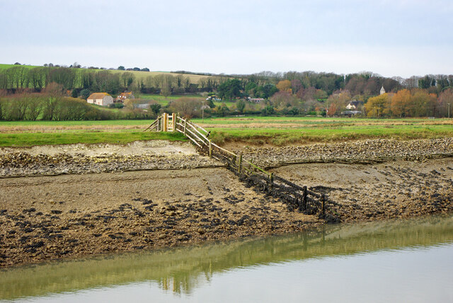
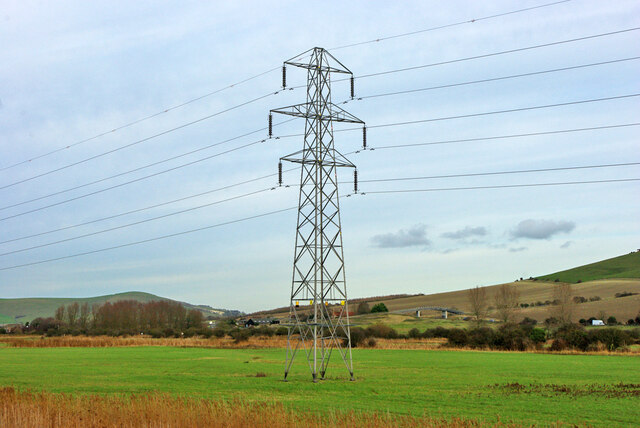
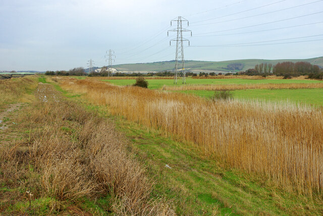
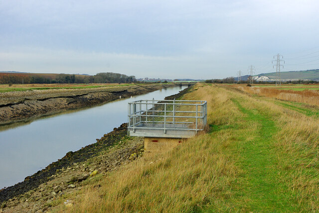
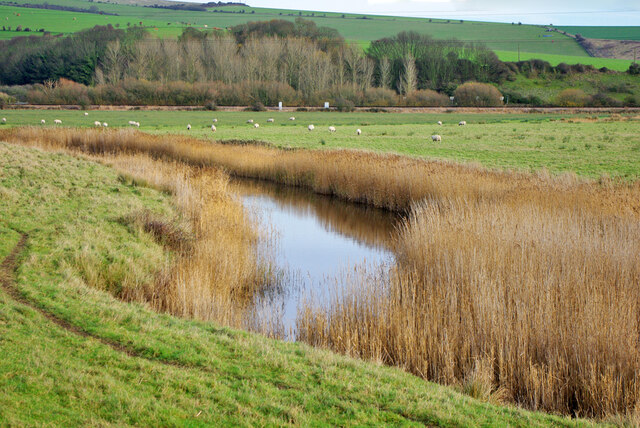
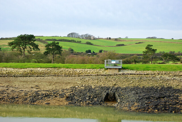
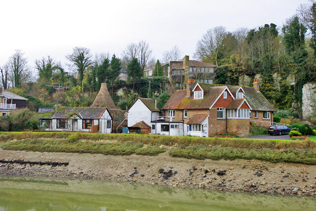
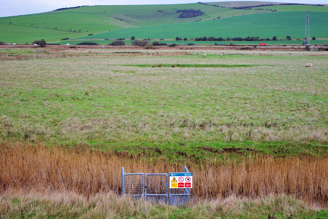
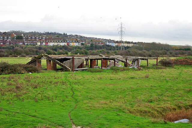
Itford Bottom is a picturesque valley located in Sussex, England. Situated near the village of Beddingham, it is known for its stunning natural beauty and tranquil atmosphere. The valley is surrounded by rolling hills and lush greenery, providing a peaceful escape from the hustle and bustle of city life.
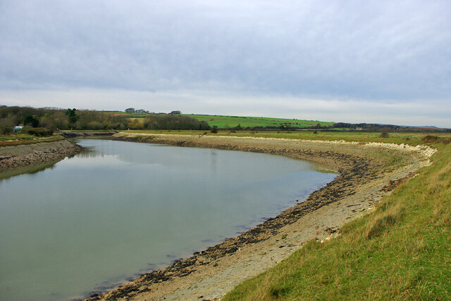
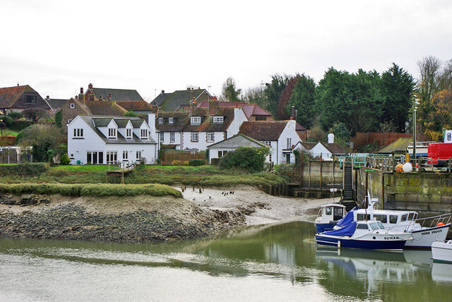
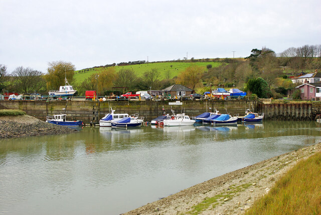
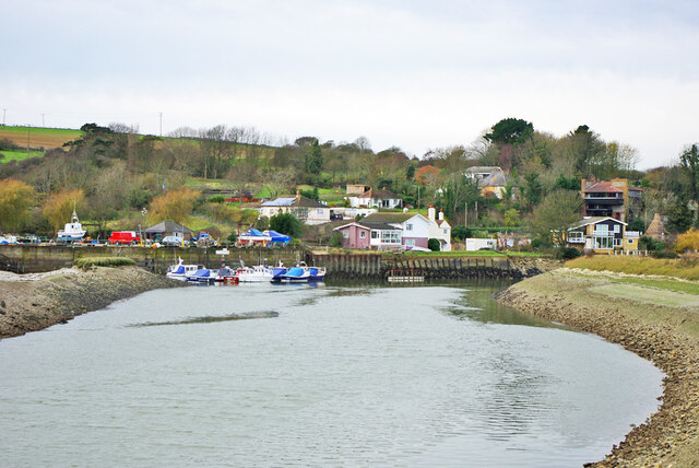
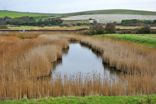
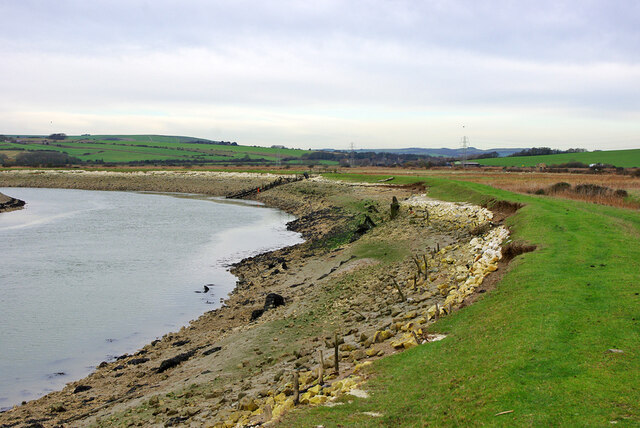
At the heart of Itford Bottom flows the River Ouse, a prominent feature of the landscape. The river meanders through the valley, adding to its charm and providing opportunities for fishing and boating activities. The valley is also home to a diverse range of wildlife, including various bird species and small mammals, making it a popular spot for nature enthusiasts and birdwatchers.
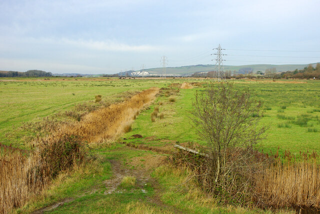
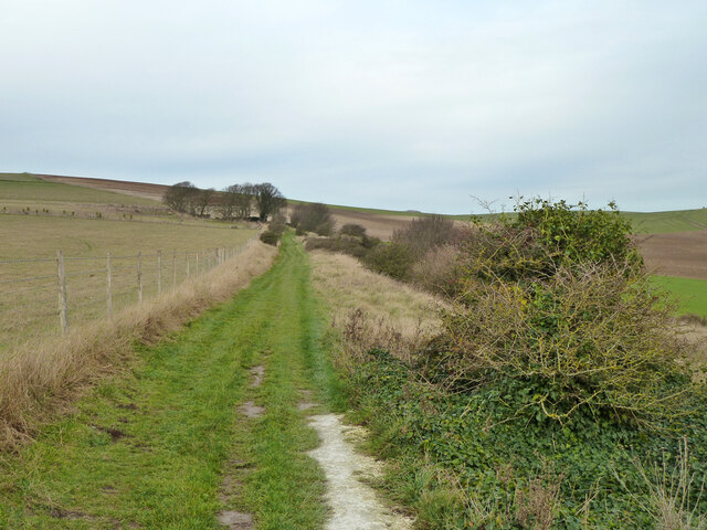
Itford Bottom boasts an array of walking trails and footpaths, allowing visitors to explore the area's natural wonders and take in breathtaking views. The valley is particularly vibrant in the spring and summer months when wildflowers bloom and the surrounding fields become a kaleidoscope of colors.
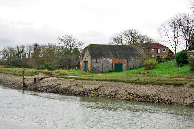
In addition to its natural beauty, Itford Bottom has historical significance. The area is dotted with ancient archaeological sites, including burial mounds and prehistoric settlements, providing glimpses into the region's rich history.
Overall, Itford Bottom is a hidden gem in Sussex, offering a peaceful retreat where visitors can immerse themselves in the beauty of nature and discover the area's fascinating past. Whether it's a leisurely stroll along the riverbank or a hike through the hills, this valley provides a serene escape for those seeking solace in the great outdoors.
If you have any feedback on the listing, please let us know in the comments section below.
Itford Bottom Images
Images are sourced within 2km of 50.824208/0.043767358 or Grid Reference TQ4404. Thanks to Geograph Open Source API. All images are credited.
Itford Bottom is located at Grid Ref: TQ4404 (Lat: 50.824208, Lng: 0.043767358)
Administrative County: East Sussex
District: Lewes
Police Authority: Sussex
What 3 Words
///bagpipes.stud.dolphin. Near Newhaven, East Sussex
Nearby Locations
Related Wikis
Tarring Neville
Tarring Neville is a village and civil parish in the Lewes District of East Sussex, England. The village is located five miles (8 km) south of Lewes, on...

Asham Quarry
Asham Quarry is a 2.6-hectare (6.4-acre) geological Site of Special Scientific Interest north of Newhaven in East Sussex. It is a Geological Conservation...
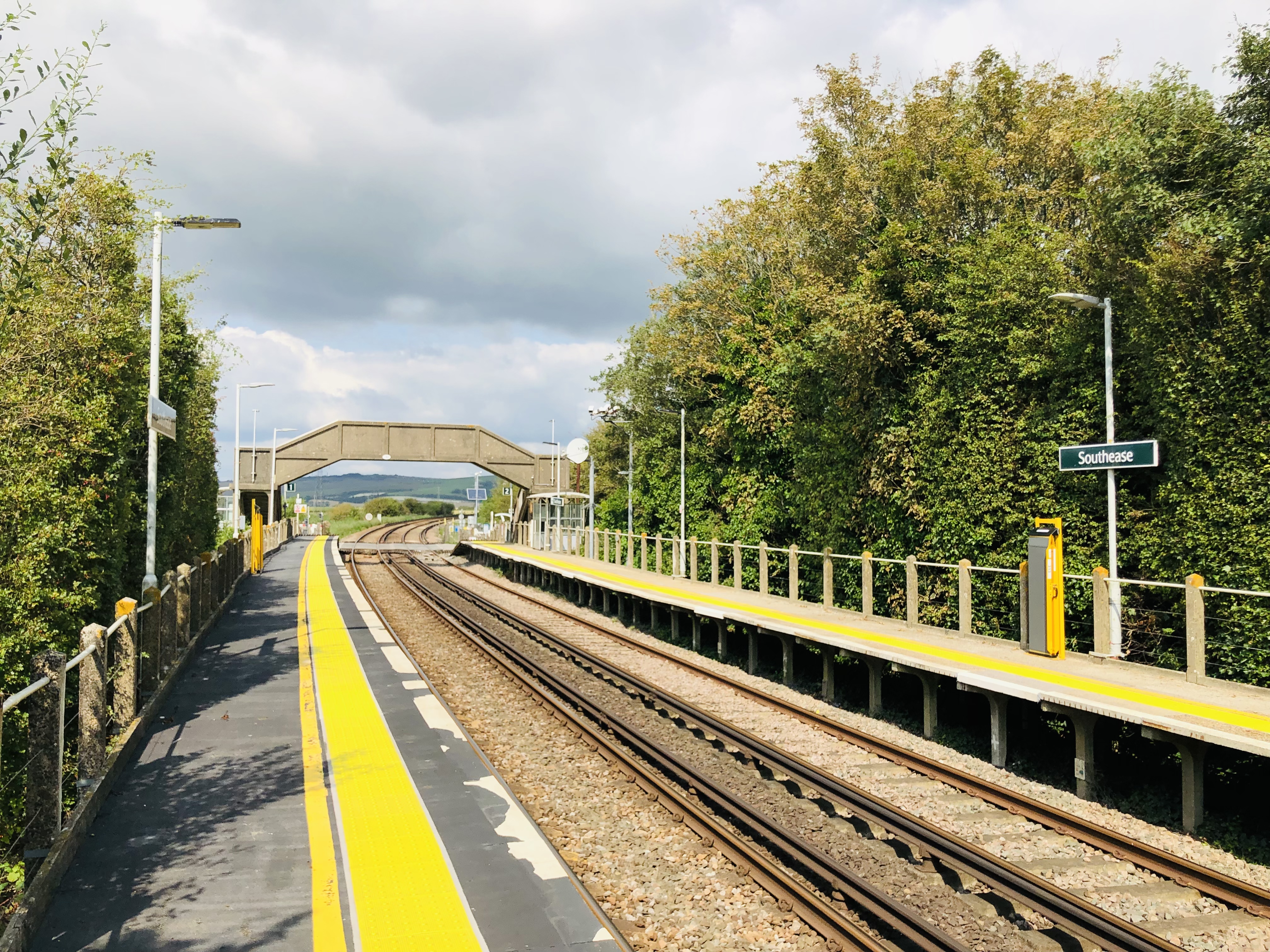
Southease railway station
Southease railway station is located 0.5 miles (800 m) east of the village of Southease in East Sussex, England. It is on the Seaford branch of the East...

South Heighton
South Heighton is a village and civil parish in the Lewes District of East Sussex, England. The village is seven miles (12 km) south of Lewes. In the...

Southease
Southease is a small village and civil parish in East Sussex, in South East England between the A26 road and the C7 road from Lewes to Newhaven. The village...

Piddinghoe
Piddinghoe is a village and civil parish in the Lewes District of East Sussex, England. It is located in the valley of the River Ouse between Lewes and...

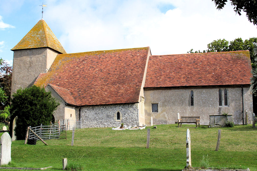
St Peter's Church, Rodmell
St Peter's Church is the parish church of Rodmell, East Sussex, England, and dates from the 12th century. It is a Grade I listed building and is among...

Rodmell
Rodmell is a small village and civil parish in the Lewes District of East Sussex, England. It is located three miles (4.8 km) south-west of Lewes, on the...
Nearby Amenities
Located within 500m of 50.824208,0.043767358Have you been to Itford Bottom?
Leave your review of Itford Bottom below (or comments, questions and feedback).