Cow Wish Bottom
Valley in Sussex Lewes
England
Cow Wish Bottom
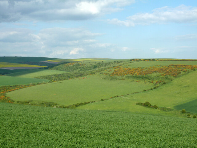
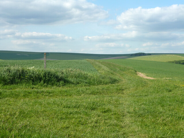
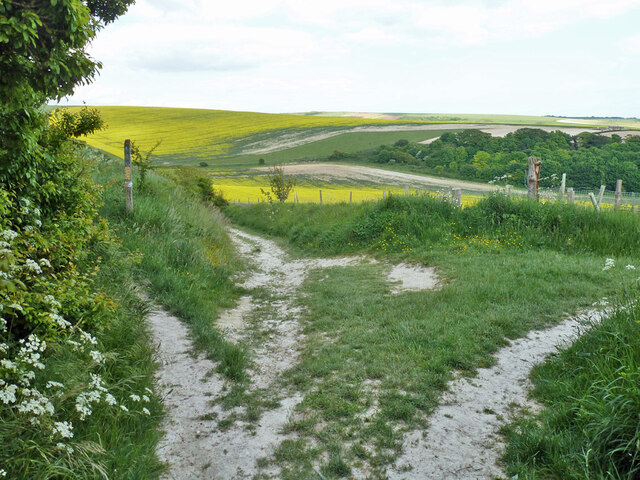
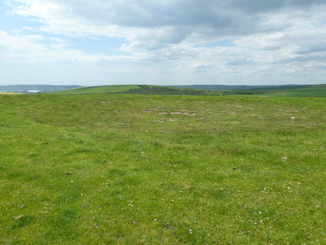
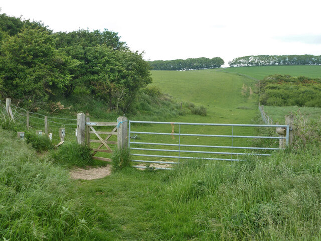
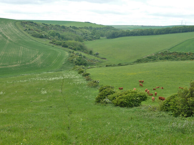
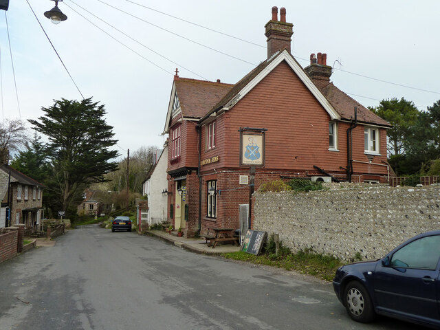
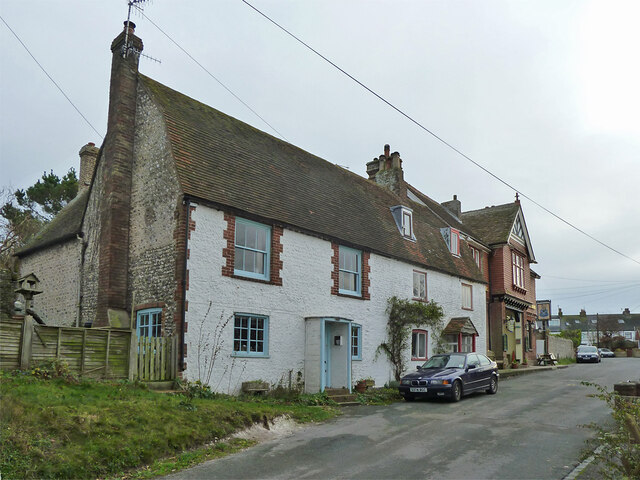
Cow Wish Bottom is a small rural village located in the county of Sussex, England. Situated in a picturesque valley, it is known for its idyllic countryside and tranquil setting. The village is surrounded by rolling hills, lush green meadows, and dense woodlands, offering stunning natural beauty to residents and visitors alike.
The name "Cow Wish Bottom" is believed to have originated from a local legend involving a farmer who made a wish while herding his cows in the valley. Over time, the name stuck and became associated with the area, adding to its charm and intrigue.
Despite its small size, Cow Wish Bottom boasts a tight-knit community with a strong sense of camaraderie. The village is home to a handful of traditional cottages and farmhouses, which add to its rustic charm. The residents are predominantly engaged in farming and agriculture, taking advantage of the fertile soil and favorable climate of the region.
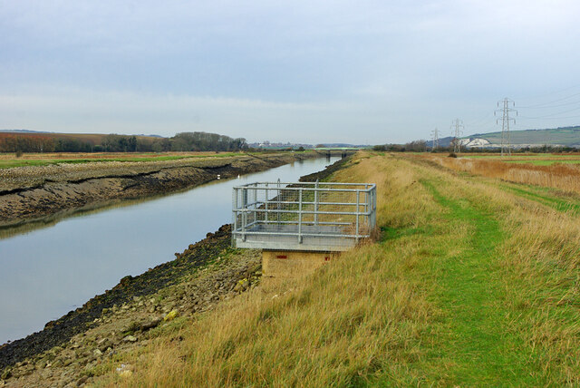
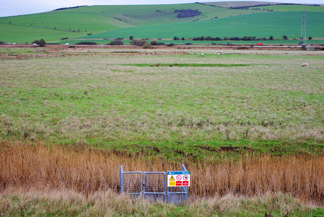
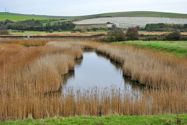
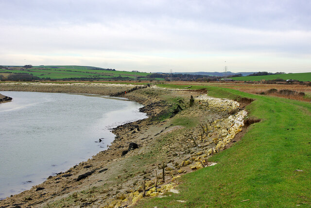
The village is a popular destination for nature lovers and outdoor enthusiasts. It offers picturesque walking trails, ideal for exploring the surrounding countryside and enjoying the stunning views. The nearby Cow Wish River provides a serene spot for fishing and picnicking.
Although Cow Wish Bottom is a peaceful and secluded village, it is conveniently located within a short distance of larger towns, providing easy access to amenities and services. This allows residents to enjoy the tranquility of rural living while still having access to the necessities of modern life.
Overall, Cow Wish Bottom in Sussex is a charming and serene village that offers a peaceful retreat for those seeking a connection with nature and a slower pace of life.
If you have any feedback on the listing, please let us know in the comments section below.
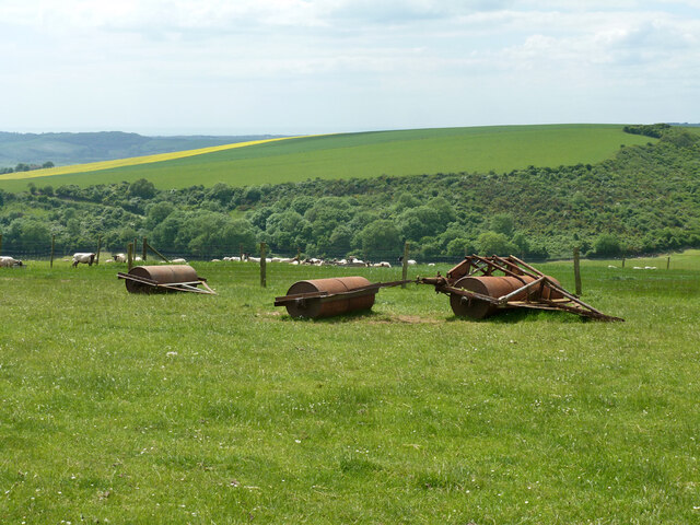
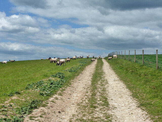
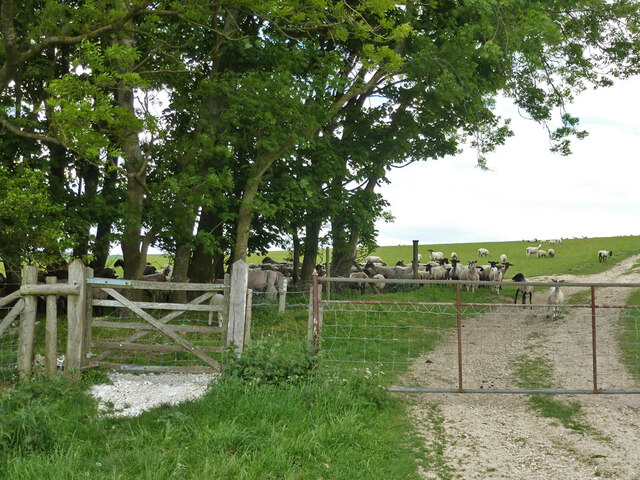
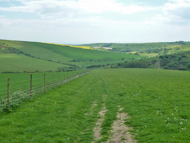
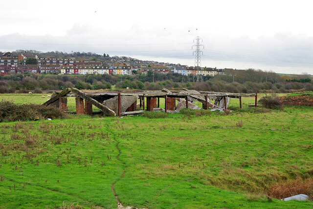
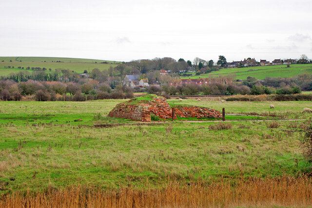
Cow Wish Bottom Images
Images are sourced within 2km of 50.822806/0.05649907 or Grid Reference TQ4404. Thanks to Geograph Open Source API. All images are credited.
Cow Wish Bottom is located at Grid Ref: TQ4404 (Lat: 50.822806, Lng: 0.05649907)
Administrative County: East Sussex
District: Lewes
Police Authority: Sussex
What 3 Words
///runner.colder.stint. Near Newhaven, East Sussex
Nearby Locations
Related Wikis
Tarring Neville
Tarring Neville is a village and civil parish in the Lewes District of East Sussex, England. The village is located five miles (8 km) south of Lewes, on...

Asham Quarry
Asham Quarry is a 2.6-hectare (6.4-acre) geological Site of Special Scientific Interest north of Newhaven in East Sussex. It is a Geological Conservation...

South Heighton
South Heighton is a village and civil parish in the Lewes District of East Sussex, England. The village is seven miles (12 km) south of Lewes. In the...
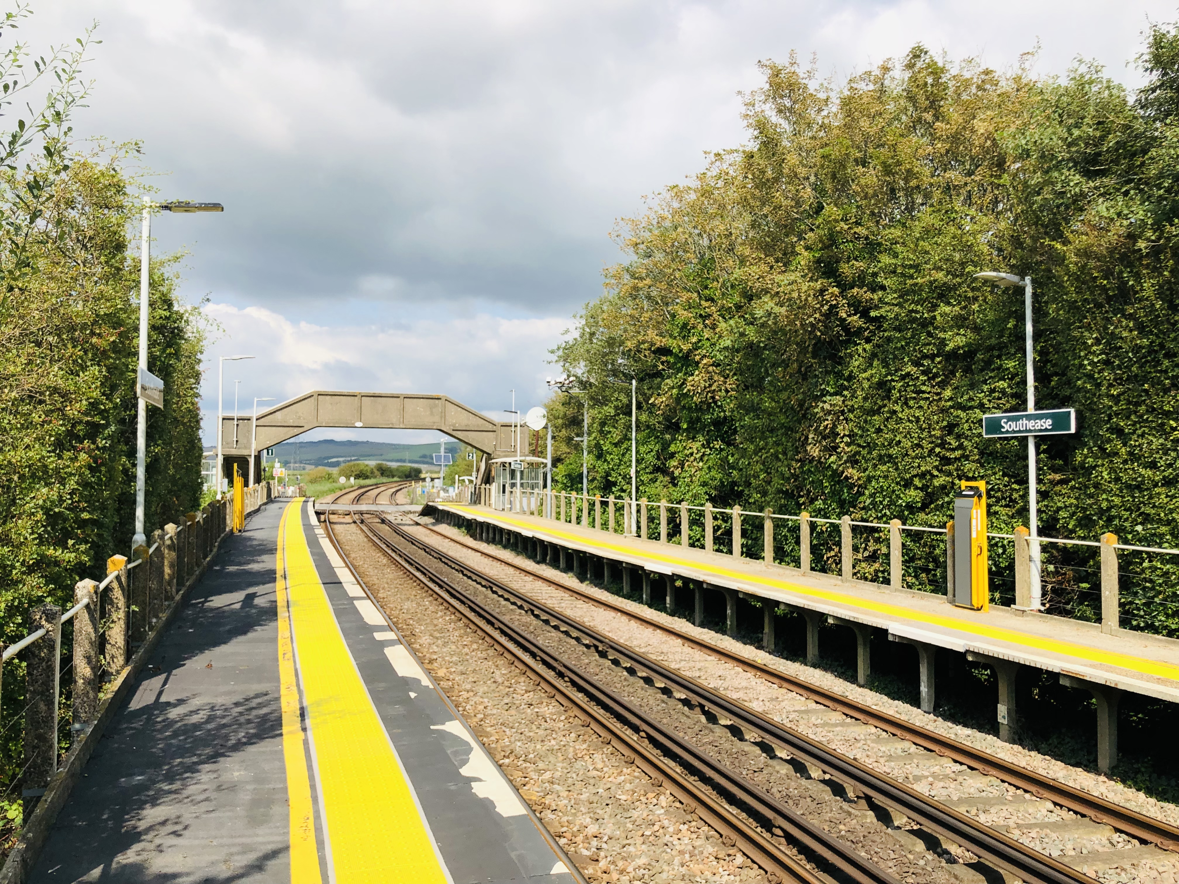
Southease railway station
Southease railway station is located 0.5 miles (800 m) east of the village of Southease in East Sussex, England. It is on the Seaford branch of the East...

Denton, East Sussex
Denton is a small village in the civil parish of Newhaven, in the Lewes district, in the county of East Sussex, England. It adjoins the villages of South...

Piddinghoe
Piddinghoe is a village and civil parish in the Lewes District of East Sussex, England. It is located in the valley of the River Ouse between Lewes and...

Newhaven ERF
The Newhaven ERF (Energy Recovery Facility) is an incinerator, in the town of Newhaven in the English county of East Sussex, for the treatment of up to...

Firle Escarpment
Firle Escarpment is a 302.1-hectare (747-acre) biological Site of Special Scientific Interest north of Seaford in East Sussex.This is a long stretch of...
Have you been to Cow Wish Bottom?
Leave your review of Cow Wish Bottom below (or comments, questions and feedback).