Devils' Den
Valley in Kent Sevenoaks
England
Devils' Den
Devils' Den in Kent Valley, also known simply as Devils' Den, is a geological formation located in Kent, Washington. This natural area is characterized by large basalt rocks that have been eroded over time to create unique formations and caves. The site is popular among hikers, climbers, and nature enthusiasts for its rugged terrain and scenic views of the surrounding landscape.
Devils' Den is believed to have been formed millions of years ago during a period of volcanic activity in the region. The distinctive rock formations are a result of lava flows that cooled and solidified, creating the basalt columns and caves that can be seen today. The area is also home to a variety of plant and animal species, making it a popular spot for wildlife observation.
Visitors to Devils' Den can explore the rocky terrain, climb the formations, and enjoy panoramic views of the Kent Valley. The site is accessible via a network of trails that wind through the area, providing opportunities for both leisurely walks and more challenging hikes. Overall, Devils' Den offers a unique and fascinating glimpse into the geological history of the region.
If you have any feedback on the listing, please let us know in the comments section below.
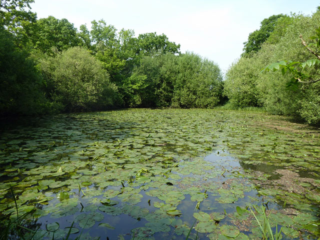
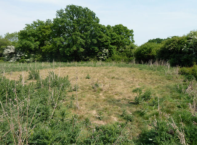
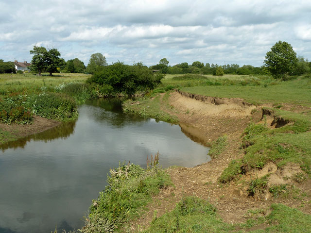
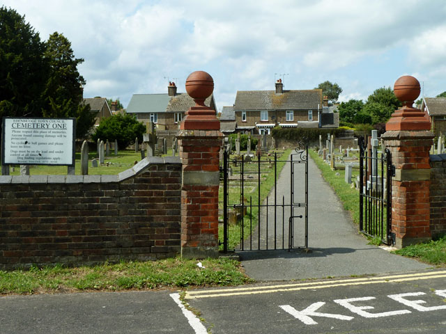
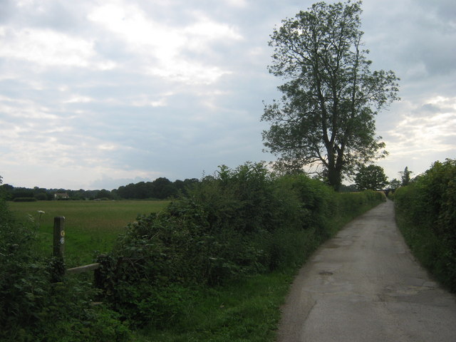
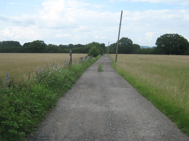
Devils' Den Images
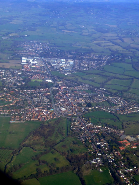
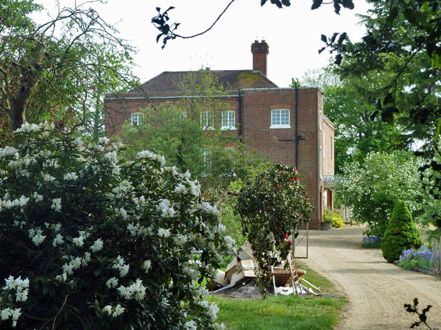
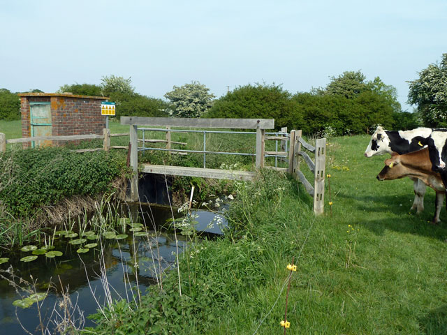
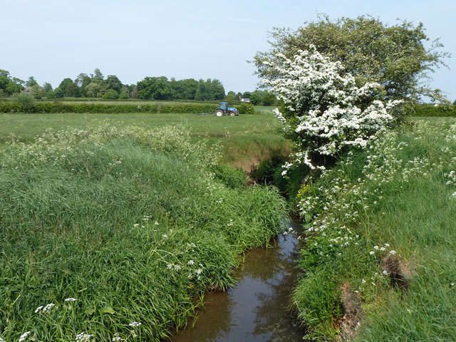
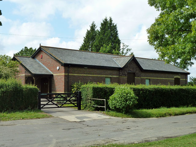
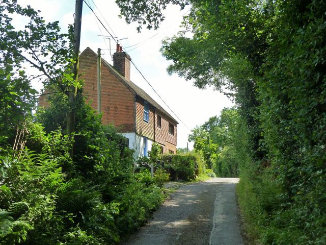
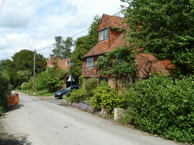
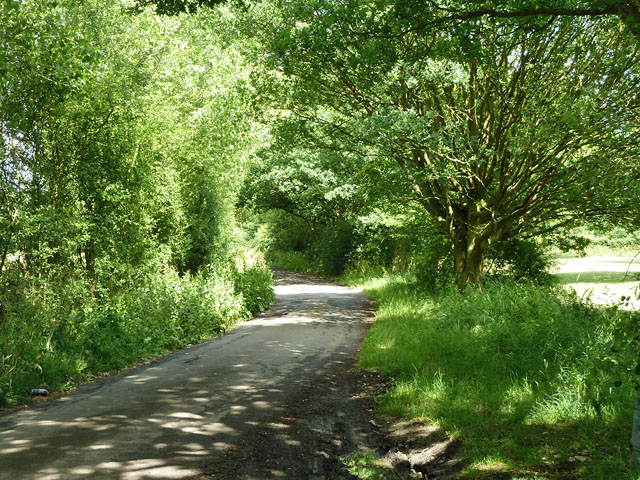
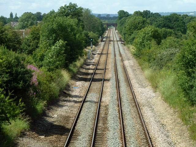
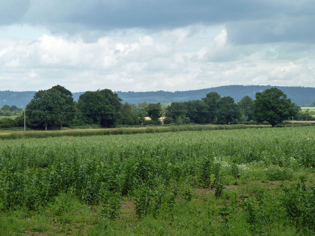
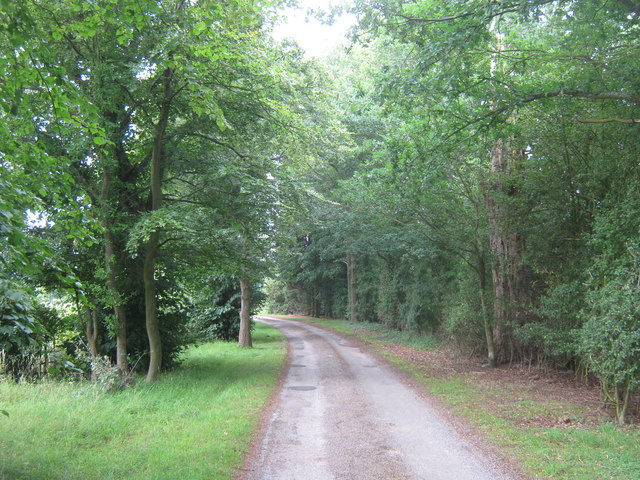
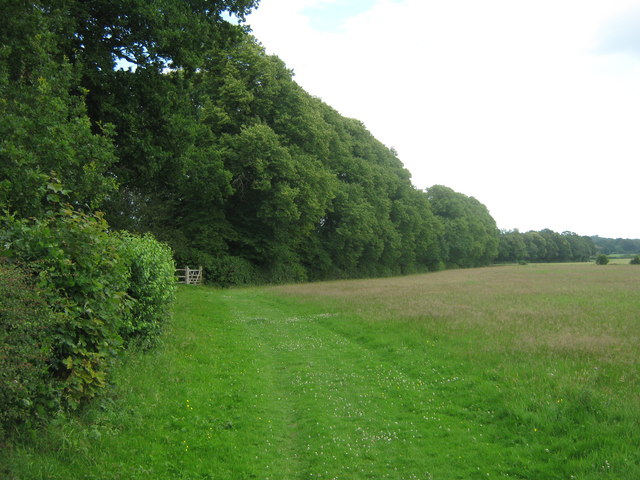
Images are sourced within 2km of 51.18794/0.058000371 or Grid Reference TQ4345. Thanks to Geograph Open Source API. All images are credited.
Devils' Den is located at Grid Ref: TQ4345 (Lat: 51.18794, Lng: 0.058000371)
Administrative County: Kent
District: Sevenoaks
Police Authority: Kent
What 3 Words
///washed.regime.sparks. Near Edenbridge, Kent
Nearby Locations
Related Wikis
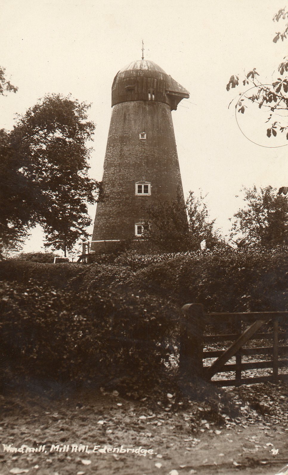
Edenbridge Windmill
Edenbridge Mill is a Grade II listed house converted tower mill in Edenbridge, Kent, England. It is on the west side of Mill Hill, just north of the hospital...

Eden Valley Museum
The Eden Valley Museum is a local history museum in the market town of Edenbridge, Kent in England. The museum is housed within a Grade II* listed medieval...

Marsh Green, Kent
Marsh Green is a small hamlet in Eden Vale, part of the parish of Edenbridge, England. The hamlet was founded in 1554 under its current name. Marsh Green...
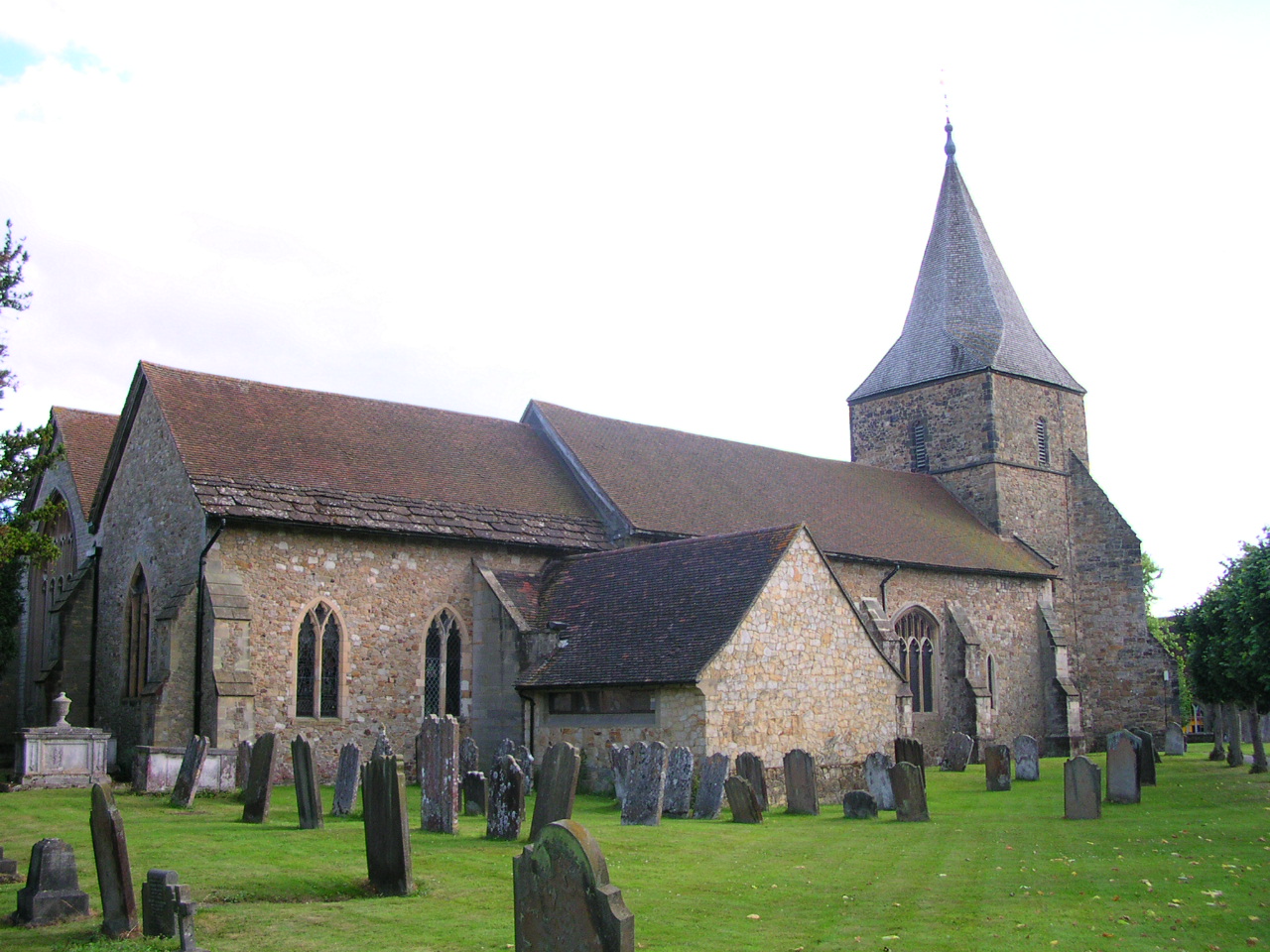
Church of St Peter and St Paul, Edenbridge
The Anglican Church of St Peter and St Paul in Edenbridge, Kent, England was built in the late 11th or early 12th century. It is a Grade I listed building...
Nearby Amenities
Located within 500m of 51.18794,0.058000371Have you been to Devils' Den?
Leave your review of Devils' Den below (or comments, questions and feedback).