Bible Bottom
Valley in Sussex Lewes
England
Bible Bottom
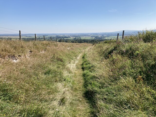
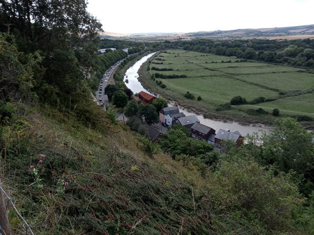
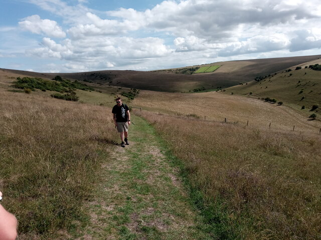
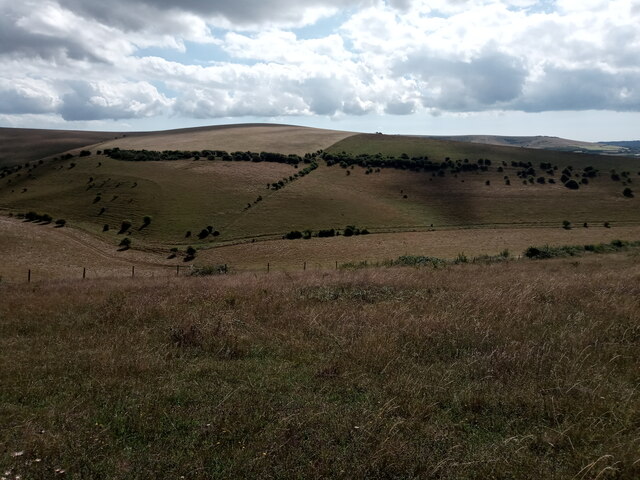
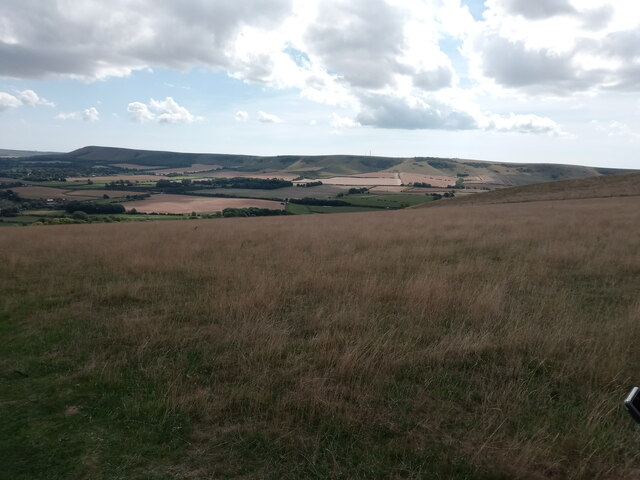
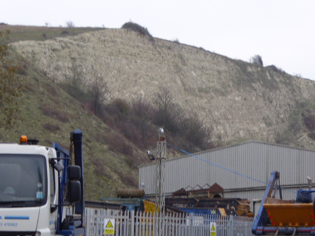
Bible Bottom, located in the county of Sussex in England, is a small valley nestled amidst lush greenery and rolling hills. Situated in the South Downs National Park, it is renowned for its picturesque beauty and tranquil ambiance. The valley takes its name from the nearby Bible Bottom Farm, which has been operational for generations.
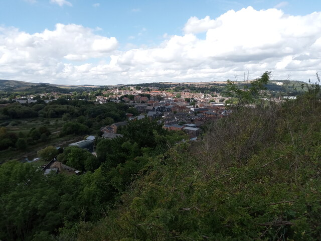
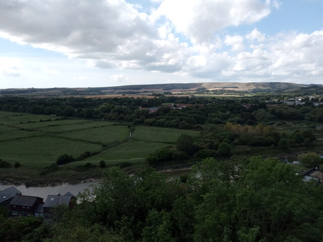
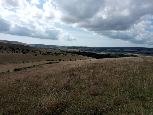
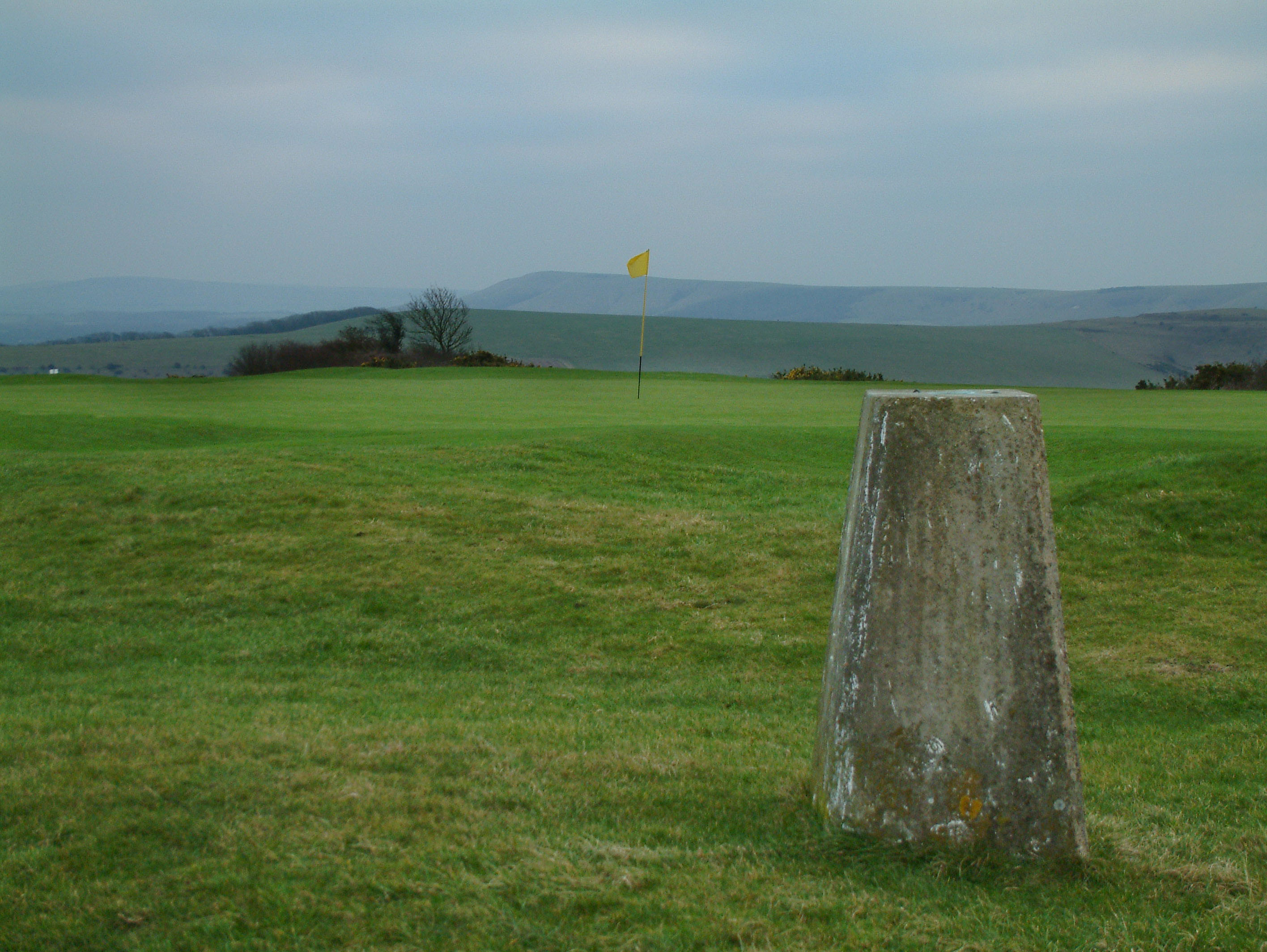
Surrounded by charming rural villages, Bible Bottom offers visitors a chance to experience the idyllic English countryside at its finest. The area boasts an abundance of walking and cycling trails, making it a popular destination for outdoor enthusiasts seeking to explore the stunning landscape.
The valley is characterized by its rich wildlife and diverse flora. The surrounding woodlands are home to a variety of bird species, including woodpeckers and nightingales. In spring, the valleys come alive with a vibrant display of wildflowers, painting the landscape in hues of purple and yellow.
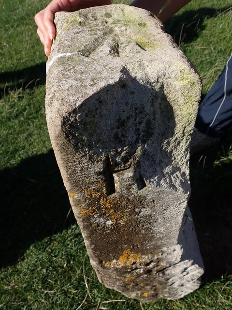
Bible Bottom also has historical significance, with archaeological evidence suggesting human occupation in the area dating back thousands of years. Ancient burial mounds and Roman artifacts have been discovered nearby, adding to the valley's allure for history buffs and researchers.
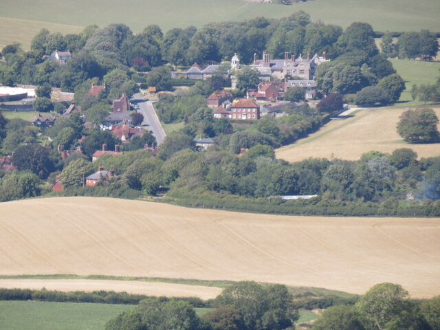
The local community in Bible Bottom is small but tight-knit, with a handful of charming cottages and farms dotting the valley. The residents take pride in their picturesque surroundings and often engage in traditional farming practices, providing a glimpse into rural English life.
For those seeking a peaceful retreat in the heart of nature, Bible Bottom offers a serene and enchanting escape from the hustle and bustle of modern life.
If you have any feedback on the listing, please let us know in the comments section below.
Bible Bottom Images
Images are sourced within 2km of 50.873972/0.043114998 or Grid Reference TQ4310. Thanks to Geograph Open Source API. All images are credited.
![Glynde Place [1] From the car parking area, this grassy path leads through the gardens to the house.
The Glynde Place estate is situated at the top of the village of Glynde, some 2½ miles east of Lewes. The house was built in 1569 from local flint, chalk and Caen stone. The estate has 10 acres of garden and 74 acres of parkland. The house is listed, grade I, with details at: <span class="nowrap"><a title="https://historicengland.org.uk/listing/the-list/list-entry/1221546" rel="nofollow ugc noopener" href="https://historicengland.org.uk/listing/the-list/list-entry/1221546">Link</a><img style="margin-left:2px;" alt="External link" title="External link - shift click to open in new window" src="https://s1.geograph.org.uk/img/external.png" width="10" height="10"/></span> The grounds are on the Register of Historic Parks and Gardens. Grade II*, with much history and detail at:
<span class="nowrap"><a title="https://historicengland.org.uk/listing/the-list/list-entry/1000307" rel="nofollow ugc noopener" href="https://historicengland.org.uk/listing/the-list/list-entry/1000307">Link</a><img style="margin-left:2px;" alt="External link" title="External link - shift click to open in new window" src="https://s1.geograph.org.uk/img/external.png" width="10" height="10"/></span>](https://s1.geograph.org.uk/geophotos/07/22/39/7223997_32bfd076.jpg)


Bible Bottom is located at Grid Ref: TQ4310 (Lat: 50.873972, Lng: 0.043114998)
Administrative County: East Sussex
District: Lewes
Police Authority: Sussex
What 3 Words
///live.respects.rebel. Near Ringmer, East Sussex
Nearby Locations
Related Wikis

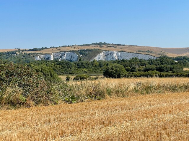
Lewes Downs
Lewes Downs is a 165-hectare (410-acre) biological Site of Special Scientific Interest east of Lewes in East Sussex. It is a Nature Conservation Review...
Cliffe Hill
Cliffe Hill is a hill to the east of the town of Lewes in East Sussex, England. It is impressive on its western edge, where it looms over Lewes. Its summit...
Southerham Machine Bottom Pit
Southerham Machine Bottom Pit is a 1.8-hectare (4.4-acre) geological Site of Special Scientific Interest in Lewes in the East Sussex. It is a Geological...

Southerham Works Pit
Southerham Works Pit is a 1-hectare (2.5-acre) geological Site of Special Scientific Interest in Lewes in East Sussex. It is a Geological Conservation...
Nearby Amenities
Located within 500m of 50.873972,0.043114998Have you been to Bible Bottom?
Leave your review of Bible Bottom below (or comments, questions and feedback).