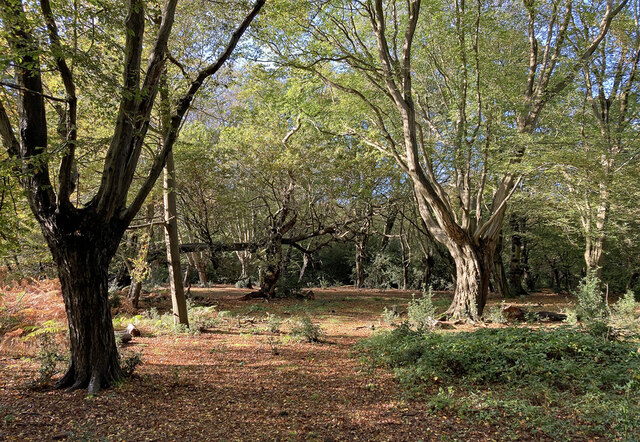
Fairmead Bottom
Valley in Essex Epping Forest
England
Fairmead Bottom
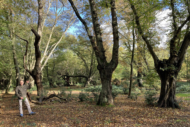
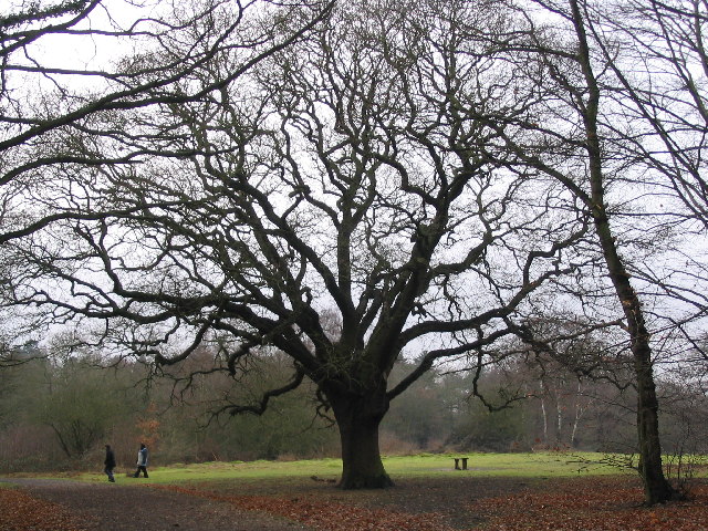
Fairmead Bottom is a picturesque valley located in Essex, England. Situated in the heart of the county, it is known for its stunning natural beauty and tranquil atmosphere. The valley is nestled between rolling hills and is encompassed by lush greenery, making it a popular destination for nature lovers and outdoor enthusiasts.
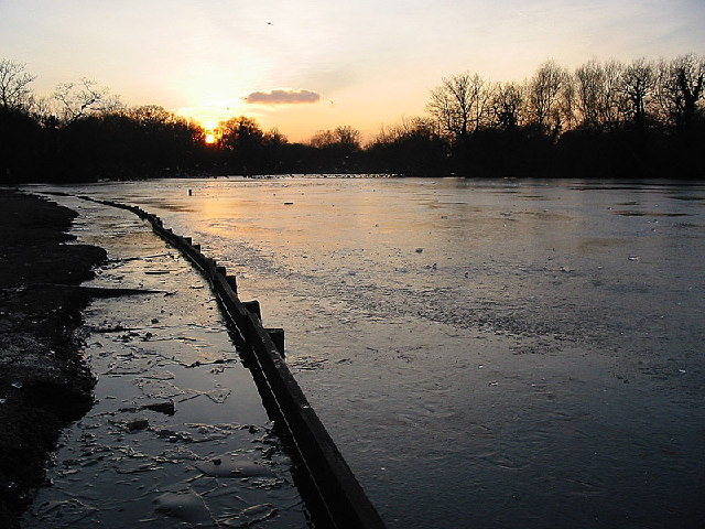
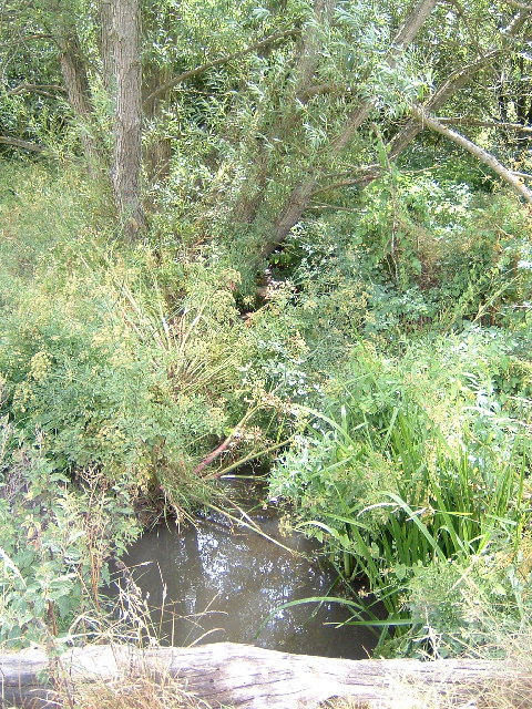
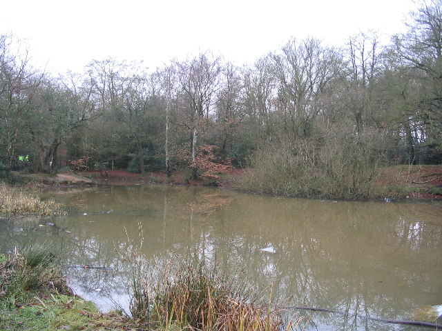
Fairmead Bottom is characterized by its meandering river that runs through the valley, providing a serene backdrop for visitors. The river is home to various species of fish and is a haven for birdwatchers, attracting a diverse range of waterfowl and other avian creatures.
The valley is also renowned for its diverse wildlife, with many rare and protected species making their homes here. It offers a rich and varied ecosystem, with a plethora of habitats including woodlands, meadows, and wetlands. This diversity makes it an ideal location for walking, hiking, and exploring the natural world.
In addition to its natural wonders, Fairmead Bottom is steeped in history. There are remnants of ancient settlements and archaeological sites dating back thousands of years, providing a fascinating glimpse into the area's past. Visitors can explore these historical treasures and learn about the people who once inhabited this land.
Overall, Fairmead Bottom is a hidden gem in Essex, offering a peaceful retreat from the hustle and bustle of modern life. Whether you are a nature lover, history enthusiast, or simply seeking a place to unwind, this valley has something to offer everyone.
If you have any feedback on the listing, please let us know in the comments section below.
Fairmead Bottom Images
Images are sourced within 2km of 51.647394/0.03637525 or Grid Reference TQ4096. Thanks to Geograph Open Source API. All images are credited.


Fairmead Bottom is located at Grid Ref: TQ4096 (Lat: 51.647394, Lng: 0.03637525)
Administrative County: Essex
District: Epping Forest
Police Authority: Essex
What 3 Words
///urgent.army.echo. Near Buckhurst Hill, Essex
Nearby Locations
Related Wikis

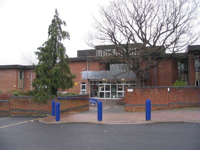
Roding Valley High School
Roding Valley High School is a co-educational secondary school and sixth form located in Loughton, Essex, England, founded in September 1989 by the merger...
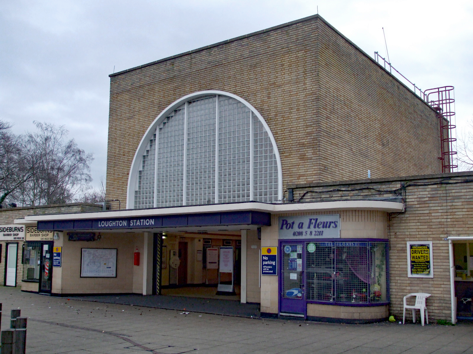
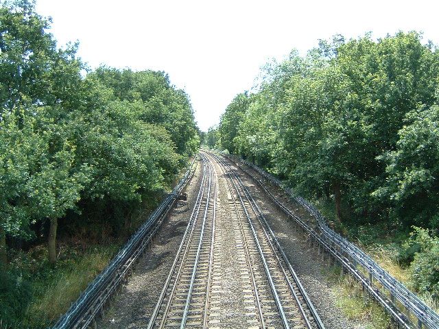
Loughton tube station
Loughton () is a London Underground station in the Epping Forest district of Essex. It is entirely above ground, and platforms are accessed by staircases...
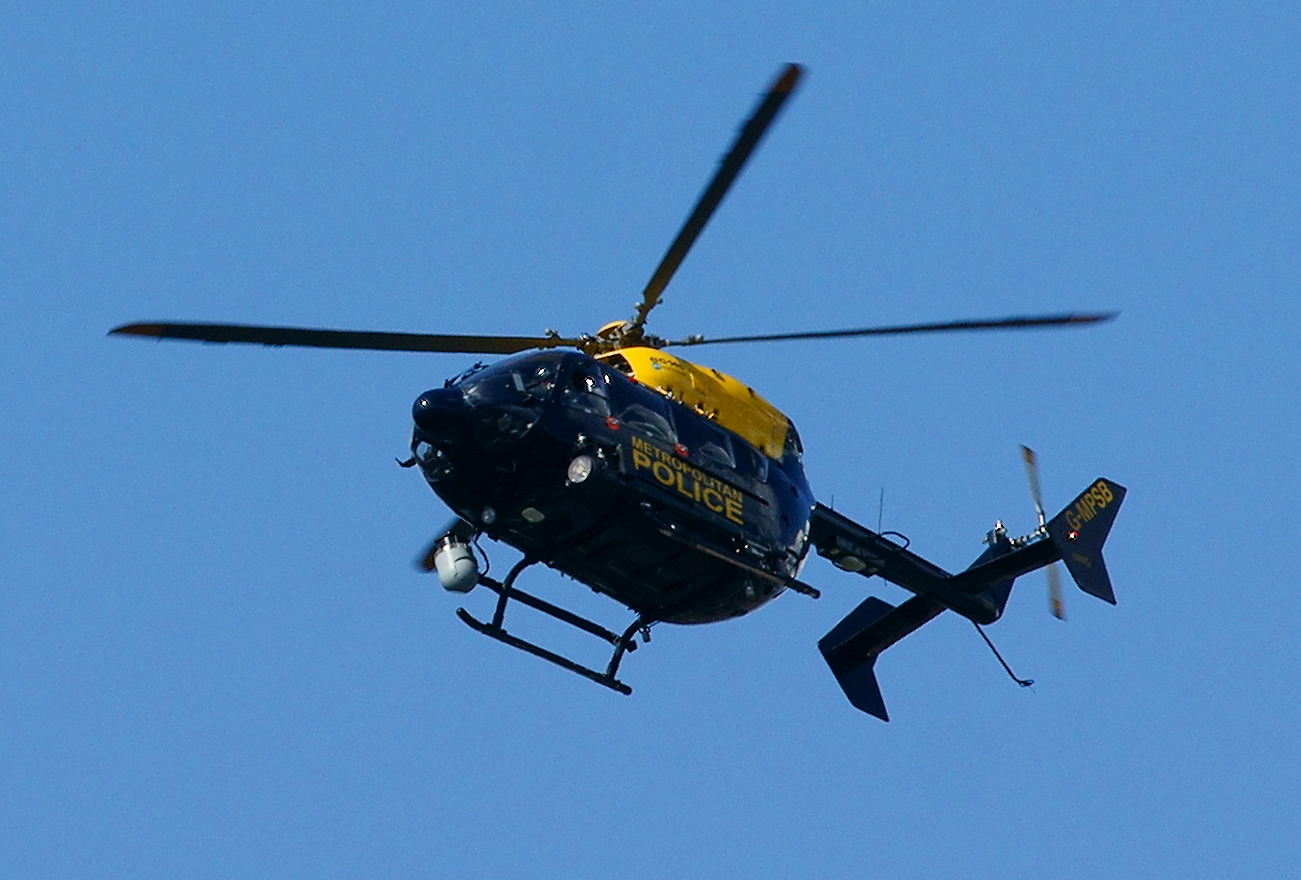
Air Support Unit (Metropolitan Police)
The Air Support Unit (ASU) was a Central Operations branch of London's Metropolitan Police Service. The main responsibility of the unit was to provide...

Lippitts Hill
Lippitts Hill is a hill located in Epping Forest at High Beach, Waltham Abbey. It has played several historic roles in the defence and policing of London...

Loughton Camp
Loughton Camp is an Iron Age (~500 BC) Hill fort in Epping Forest, one mile (1.6 km) northwest of the town of Loughton. The camp's earthworks cover an...
National Jazz Archive
The National Jazz Archive is a collection of materials pertaining to jazz and blues that is kept at the Loughton Library in Essex, England. The archive...

High Beach
High Beach (or High Beech) is a village inside Epping Forest in south-west Essex, England. Part of the civil parish of Waltham Abbey, the village is within...

Epping Forest
Epping Forest is a 2,400-hectare (5,900-acre) area of ancient woodland, and other established habitats, which straddles the border between Greater London...
Nearby Amenities
Located within 500m of 51.647394,0.03637525Have you been to Fairmead Bottom?
Leave your review of Fairmead Bottom below (or comments, questions and feedback).