Cockroost Bottom
Valley in Sussex
England
Cockroost Bottom
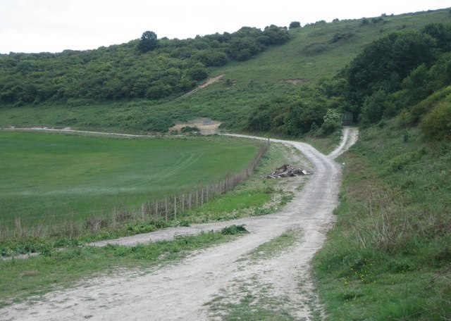
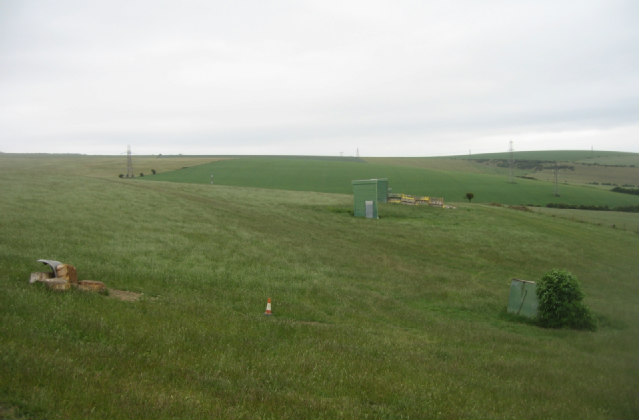
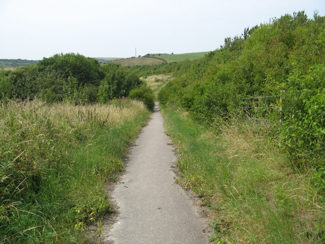
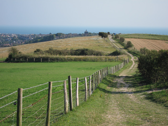
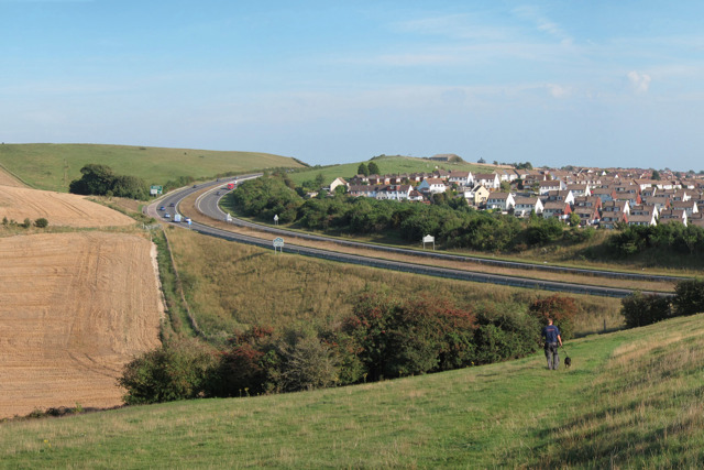
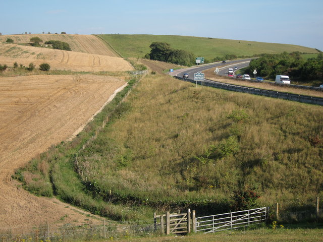
Cockroost Bottom is a picturesque valley located in the county of Sussex, England. Nestled amidst the rolling hills and lush greenery, this idyllic spot offers a serene and tranquil escape from the bustling city life. The valley is situated near the charming village of Cockroost, which adds to its quaint and rustic charm.
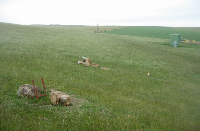
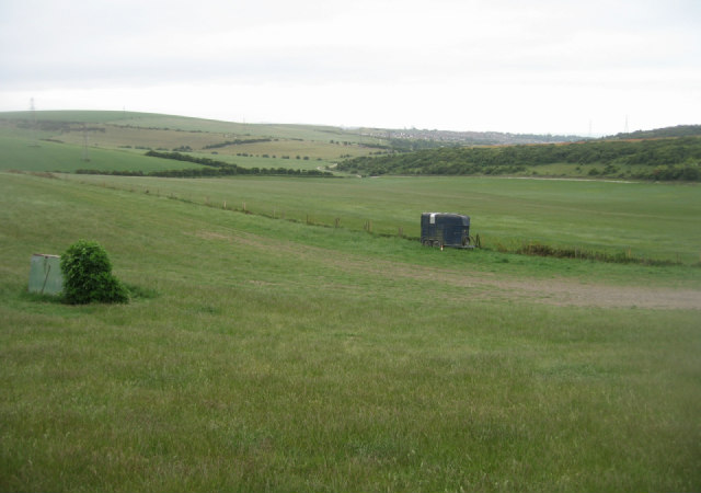
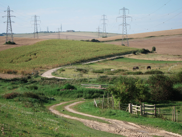
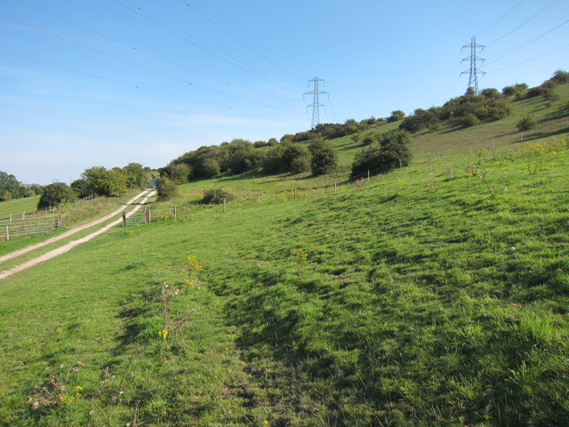
The landscape of Cockroost Bottom is characterized by its gently sloping hills, carpeted with an array of wildflowers and dotted with ancient oak trees. The valley is crisscrossed by a meandering stream, which adds to its natural beauty and provides a soothing soundtrack of trickling water.
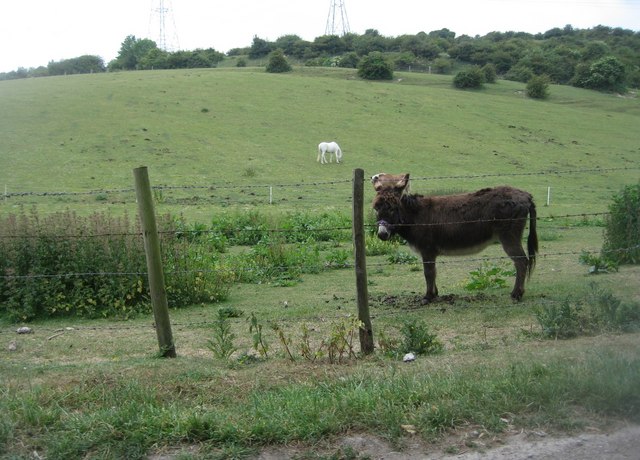
This area is a haven for wildlife enthusiasts and nature lovers, as it is home to a rich diversity of flora and fauna. Visitors can spot various bird species soaring through the sky or catch a glimpse of elusive woodland creatures like deer and foxes. The valley also boasts a vibrant ecosystem of insects, including the occasional sighting of butterflies and bees.
The tranquility and natural beauty of Cockroost Bottom make it an ideal destination for outdoor activities such as hiking, picnicking, and nature walks. The valley is intersected by scenic walking trails that offer breathtaking views of the surrounding countryside. Additionally, there are designated picnic spots where visitors can relax and enjoy a meal amidst the stunning landscape.
Overall, Cockroost Bottom is a hidden gem in Sussex, offering a perfect blend of natural beauty, serenity, and recreational opportunities for those seeking a peaceful retreat in the heart of the English countryside.
If you have any feedback on the listing, please let us know in the comments section below.
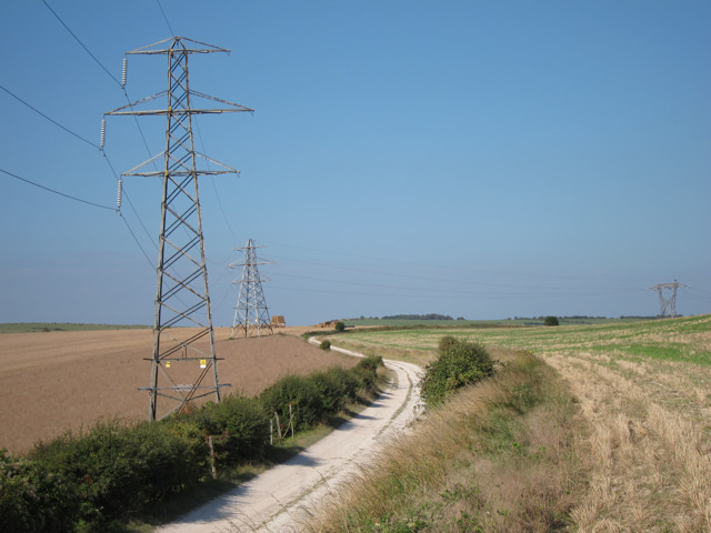
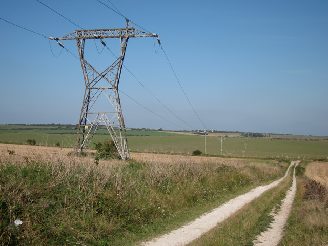
Cockroost Bottom Images
Images are sourced within 2km of 50.861614/-0.22687797 or Grid Reference TQ2408. Thanks to Geograph Open Source API. All images are credited.

Cockroost Bottom is located at Grid Ref: TQ2408 (Lat: 50.861614, Lng: -0.22687797)
Unitary Authority: Brighton and Hove
Police Authority: Sussex
What 3 Words
///supply.dreams.bill. Near Portslade, East Sussex
Nearby Locations
Related Wikis
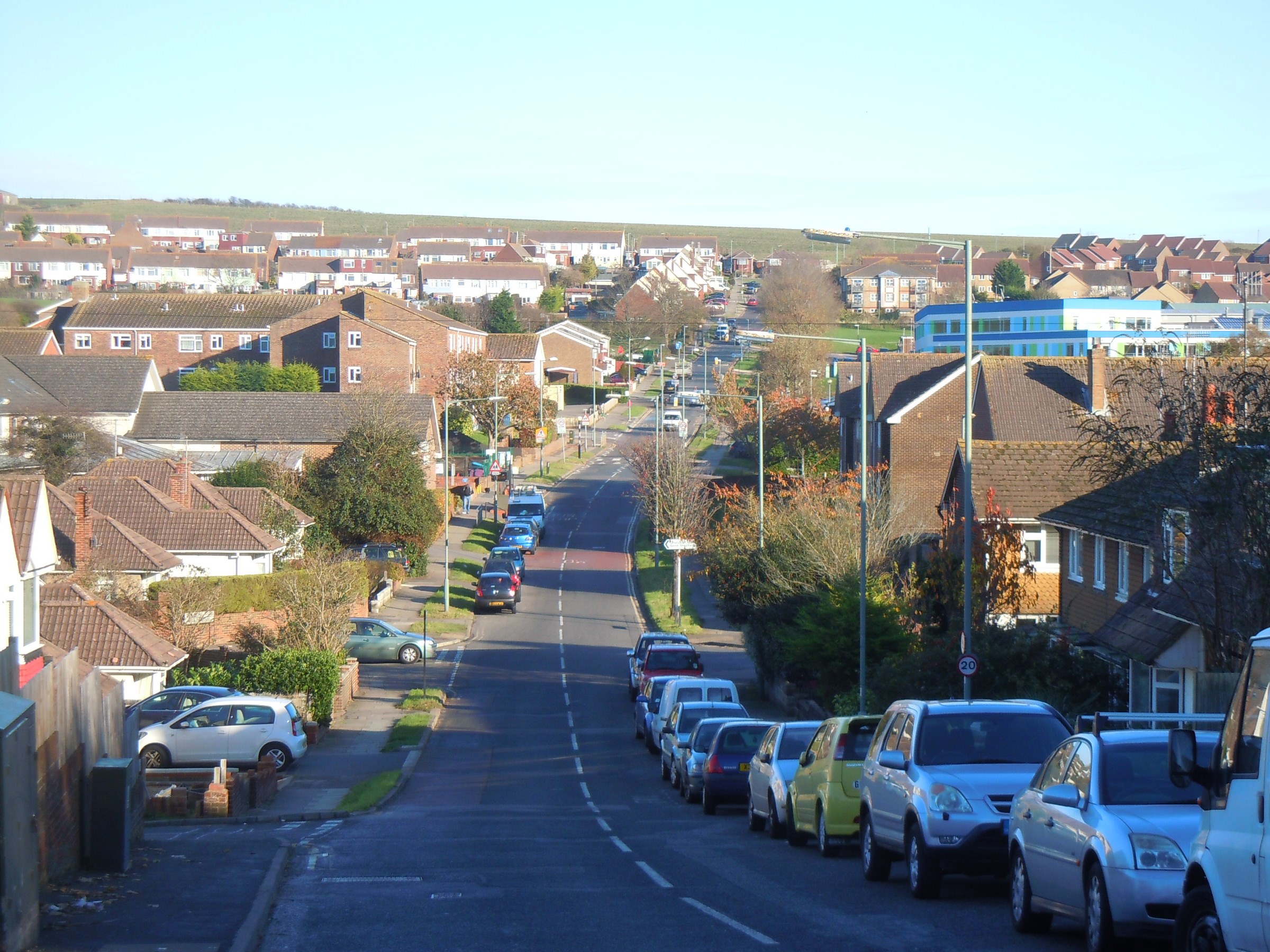
Mile Oak
Mile Oak is a locality forming the northern part of the former parish of Portslade in the northwest corner of the city of Brighton and Hove, England....

Mile Oak F.C.
Mile Oak Football Club are a football club based in Mile Oak ,Brighton and Hove, England. They were established in 1960 and joined the Sussex County League...
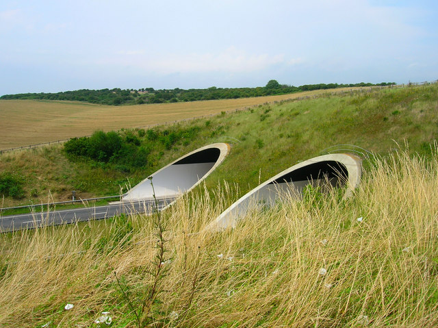
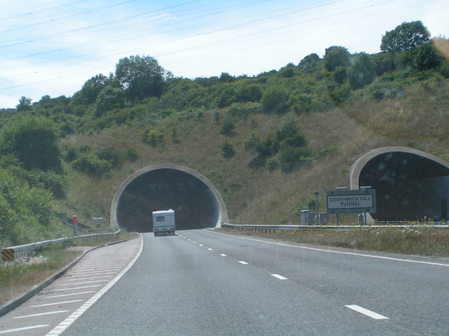
Southwick Hill Tunnel
The Southwick Hill Tunnel is a 490-metre twin-bore road tunnel to the north of Southwick, England. The tunnel was opened in early 1996 as part of the A27...
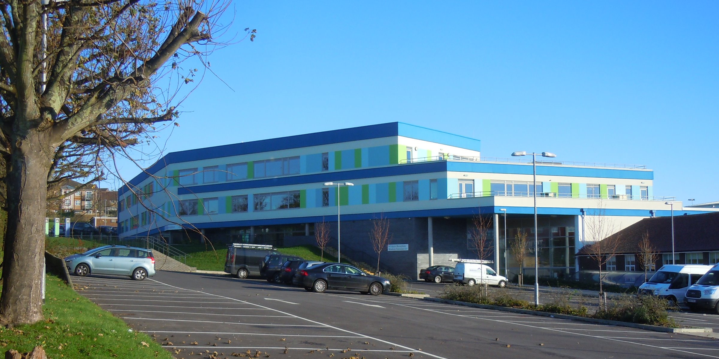
Portslade Aldridge Community Academy
Portslade Aldridge Community Academy (PACA) (formerly Portslade Community College) is a OFSTED rated 'Good' secondary school led by Principal Mr Mark Poston...
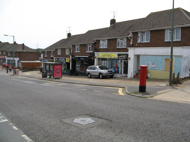
Nearby Amenities
Located within 500m of 50.861614,-0.22687797Have you been to Cockroost Bottom?
Leave your review of Cockroost Bottom below (or comments, questions and feedback).