Deep Bottom
Valley in Hertfordshire Welwyn Hatfield
England
Deep Bottom
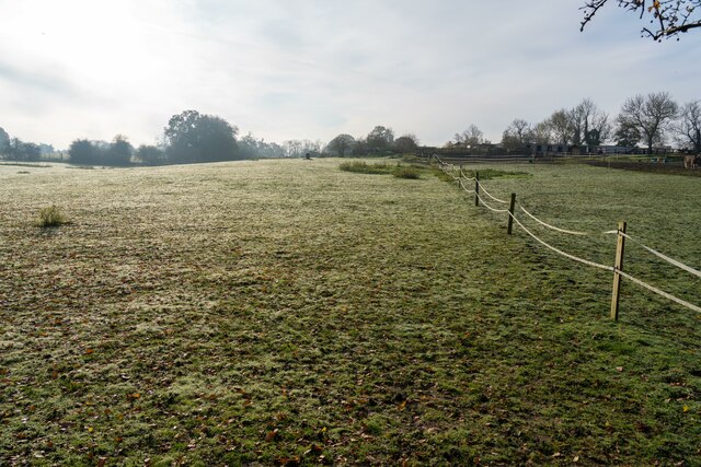
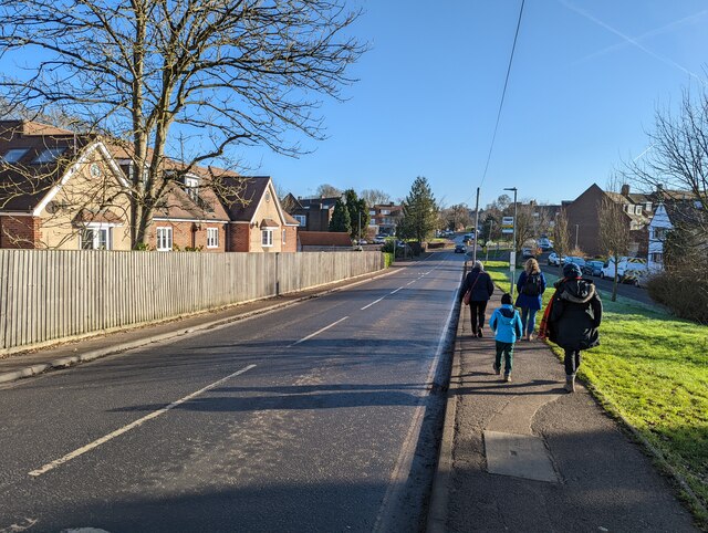
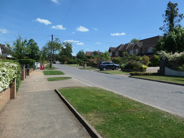
Deep Bottom is a picturesque valley located in Hertfordshire, England. Situated on the outskirts of the charming village of Hertford, this valley is a haven for nature enthusiasts and those seeking tranquility amidst the bustling city life. The valley is known for its stunning natural beauty, with rolling hills, lush green meadows, and meandering streams.
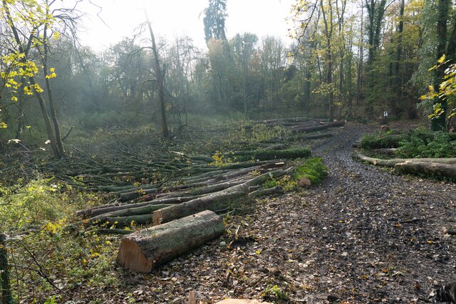
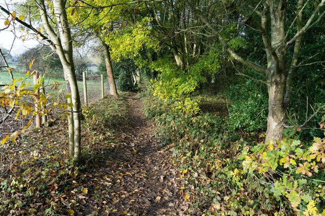
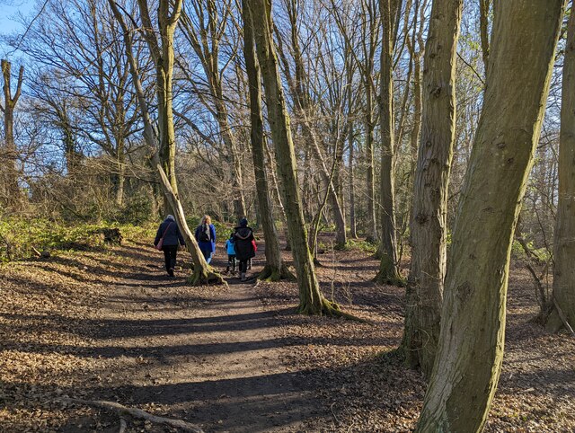
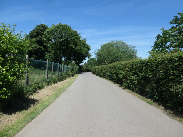
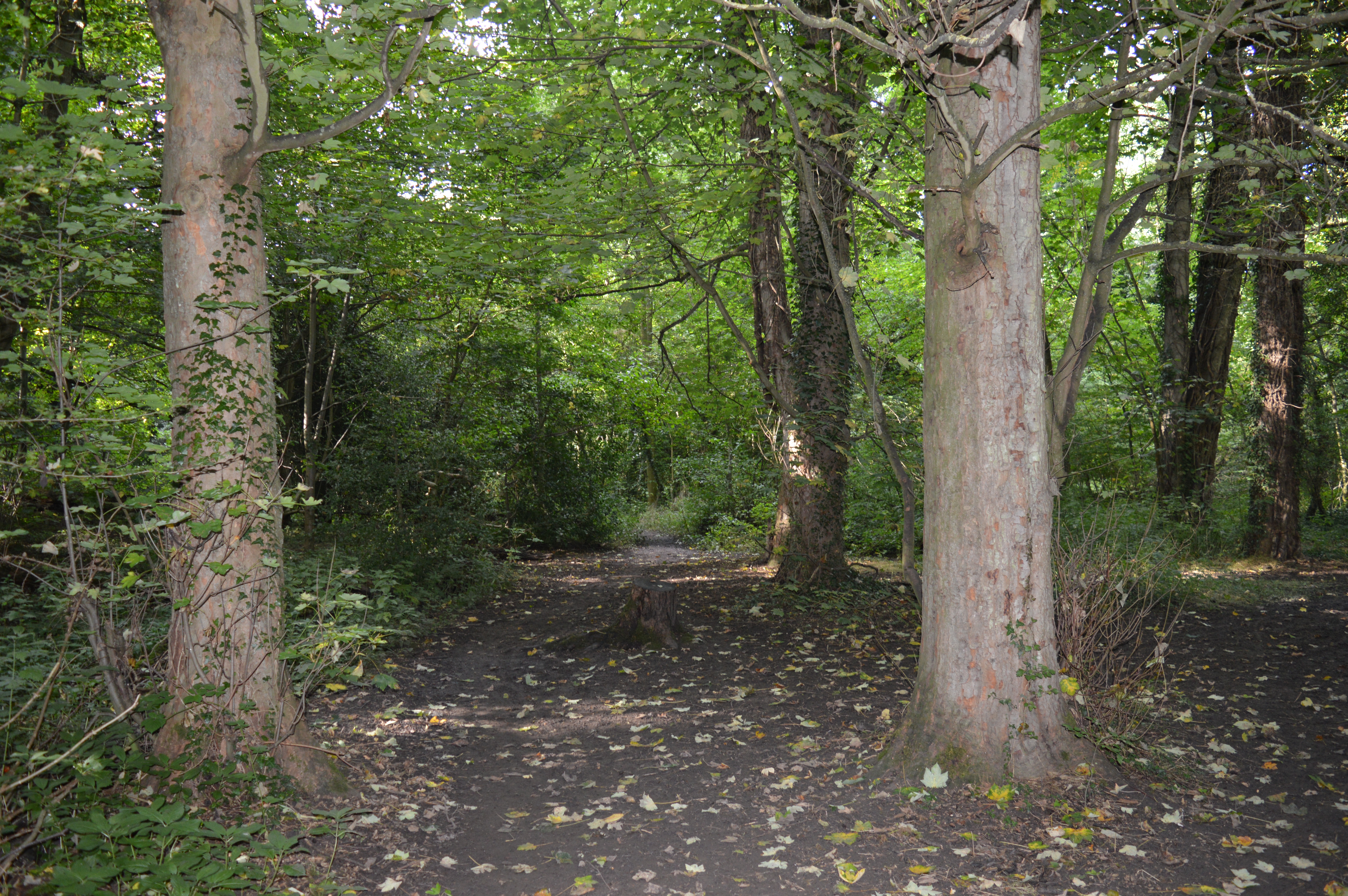
Covering an area of approximately 100 acres, Deep Bottom is home to a diverse range of flora and fauna. The valley is characterized by its rich woodland, predominantly consisting of oak and beech trees, which provide a habitat for various bird species and small mammals. The presence of these trees also adds to the valley's scenic charm, especially during the autumn months when the leaves turn vibrant shades of red and gold.
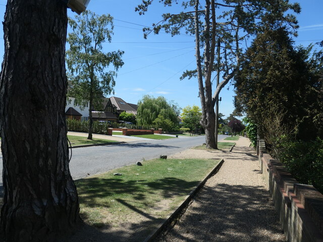
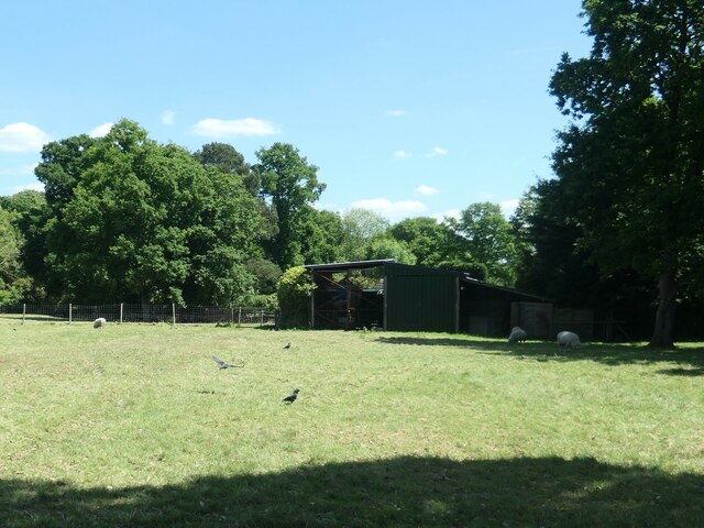
Deep Bottom is a popular destination for outdoor activities such as hiking, picnicking, and wildlife spotting. There are several well-maintained walking trails that meander through the valley, offering visitors the opportunity to explore its natural wonders firsthand. The valley also boasts a well-preserved ecosystem, with rare plant species and protected wildlife, making it a site of ecological importance.
In addition to its natural attractions, Deep Bottom is also home to a historic manor house, which dates back to the 18th century. The manor house, now converted into a luxury hotel, adds an element of historical significance to the valley.
Overall, Deep Bottom in Hertfordshire is a hidden gem, offering visitors a chance to escape the hustle and bustle of everyday life and immerse themselves in the beauty of nature.
If you have any feedback on the listing, please let us know in the comments section below.
Deep Bottom Images
Images are sourced within 2km of 51.71585/-0.19259499 or Grid Reference TL2403. Thanks to Geograph Open Source API. All images are credited.
![Brookmans Park Golf Club [1] Seen from Golf Club Road.](https://s1.geograph.org.uk/geophotos/07/18/68/7186825_f900b103.jpg)
Deep Bottom is located at Grid Ref: TL2403 (Lat: 51.71585, Lng: -0.19259499)
Administrative County: Hertfordshire
District: Welwyn Hatfield
Police Authority: Hertfordshire
What 3 Words
///legs.expose.shelf. Near Potters Bar, Hertfordshire
Nearby Locations
Related Wikis
Gobions Wood
Gobions Wood is a 36 hectare nature reserve managed by the Herts and Middlesex Wildlife Trust in Brookmans Park in Hertfordshire. The site was formerly...
Brookmans Park
Brookmans Park is a village in Hertfordshire, southeast England, known for its BBC transmitter station. Brookmans Park railway station, on the East Coast...
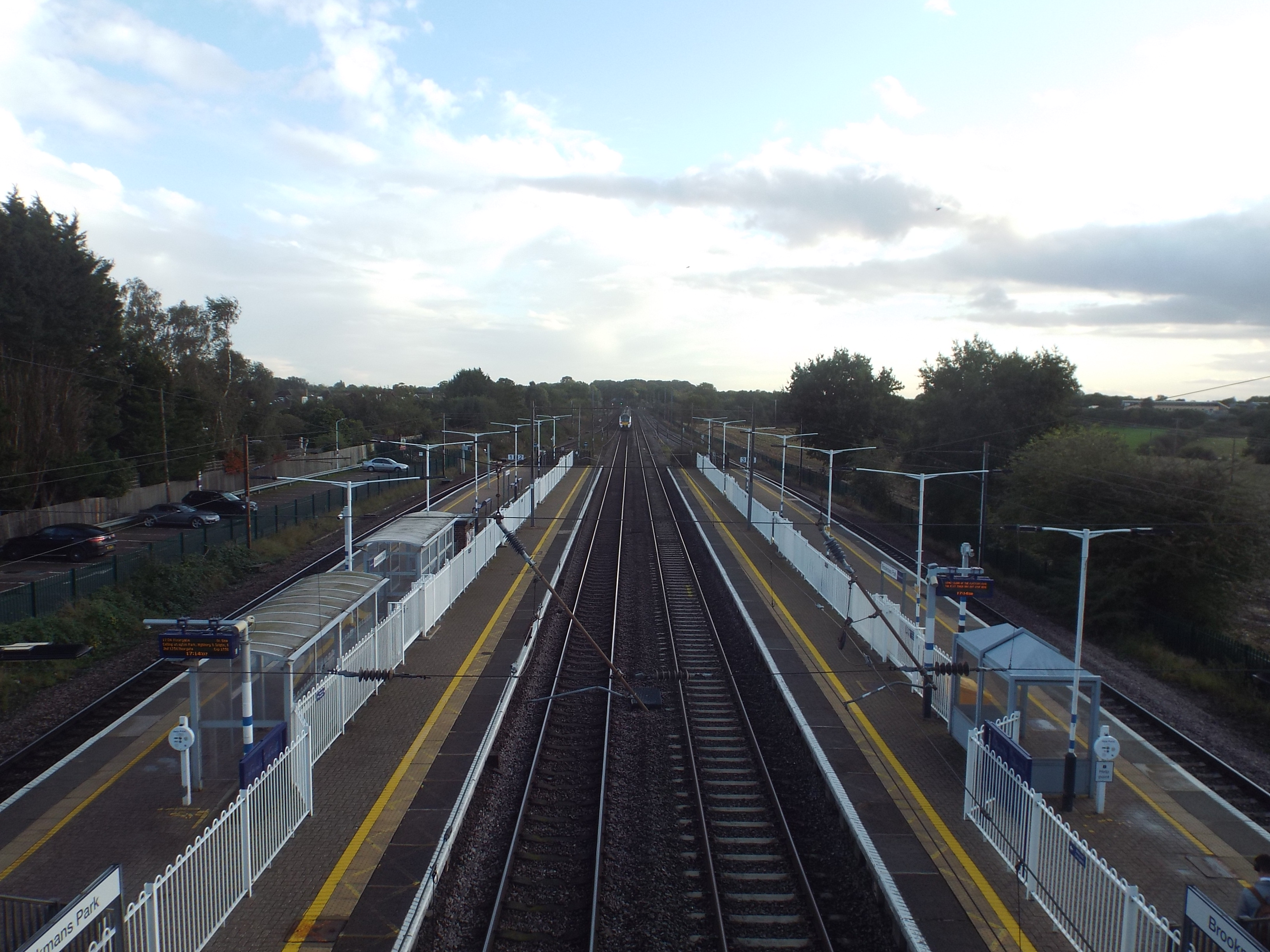
Brookmans Park railway station
Brookmans Park railway station serves the village of Brookmans Park in Hertfordshire, England. The station is located 14 miles 37 chains (23.3 km) north...

Queen Mother Hospital for Animals
The Queen Mother Hospital for Animals (QMHA) is a teaching hospital located near Potters Bar, Hertfordshire. More than 100 veterinary nurses work alongside...

Furzefield Wood and Lower Halfpenny Bottom
Furzefield Wood and Lower Halfpenny is a 7.4 hectare Local Nature Reserve in Potters Bar in Hertfordshire. It is owned and managed by Hertsmere Borough...
Rhodes Wood Hospital
Rhodes Wood Hospital is a specialist hospital for children and young people with eating disorders. It is based in the grade II listed former Mymwood School...
Chancellor's School
Chancellor's School is a coeducational secondary school and sixth form located in Brookmans Park, Hertfordshire, England. == History == The school opened...
Mount Grace School
Mount Grace School is a Mixed academy school based in Potters Bar, Hertfordshire. == History == Mount Grace was originally a Manor House built by Roger...
Nearby Amenities
Located within 500m of 51.71585,-0.19259499Have you been to Deep Bottom?
Leave your review of Deep Bottom below (or comments, questions and feedback).