The Glen

Valley in Sussex Mid Sussex

England

The Glen

Eastlands Park House and entrance
Eastlands Park House and entrance Credit: Shazz

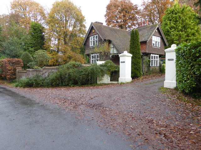
The Glen, Sussex (Valley) is a picturesque rural area located in the county of Sussex in southeastern England. Situated in the beautiful valley of the River Sussex, it offers stunning natural landscapes and a tranquil environment.

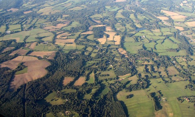
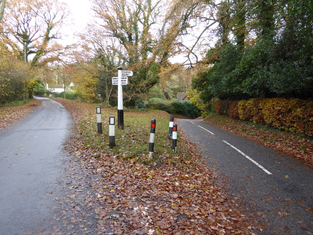
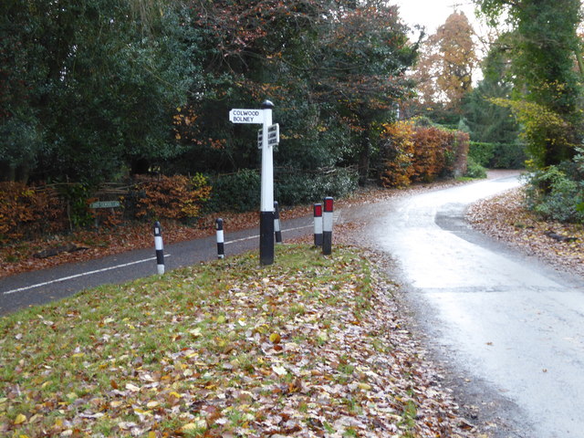
The Glen is renowned for its rolling hills, lush green meadows, and dense woodlands, making it a haven for nature lovers and outdoor enthusiasts. The area is home to a diverse range of flora and fauna, including several rare and protected species. It is not uncommon to spot deer, foxes, and various bird species while exploring the countryside.

The charming village of Sussex, nestled in the heart of The Glen, adds to the area's appeal. With its quaint cottages, historic buildings, and friendly locals, it offers a glimpse into traditional English village life. The village boasts a handful of amenities, including a local pub, a village hall, and a small grocery store, catering to residents' daily needs.

The Glen also has a rich cultural heritage, with ancient ruins and historical landmarks scattered throughout the area. One notable attraction is the Sussex Castle, a medieval fortress that stands proudly on a hill overlooking the valley. The castle offers visitors a chance to step back in time and explore its well-preserved walls and towers.

Overall, The Glen, Sussex (Valley) is a hidden gem in the Sussex countryside, offering a peaceful and idyllic retreat for those seeking a break from the hustle and bustle of city life. Its natural beauty, charming village, and historical attractions make it a truly enchanting destination.

If you have any feedback on the listing, please let us know in the comments section below.
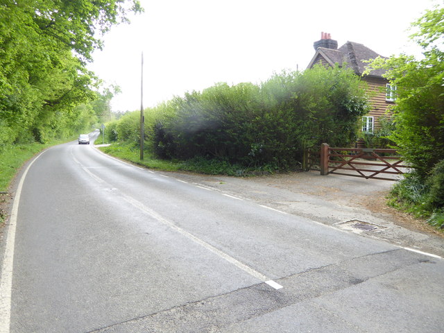
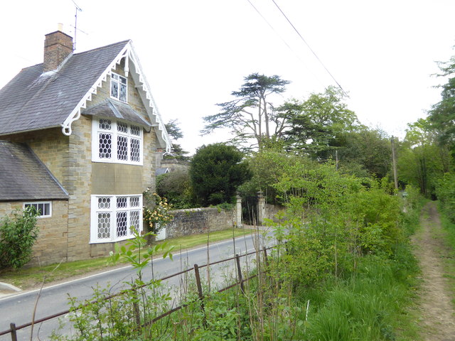
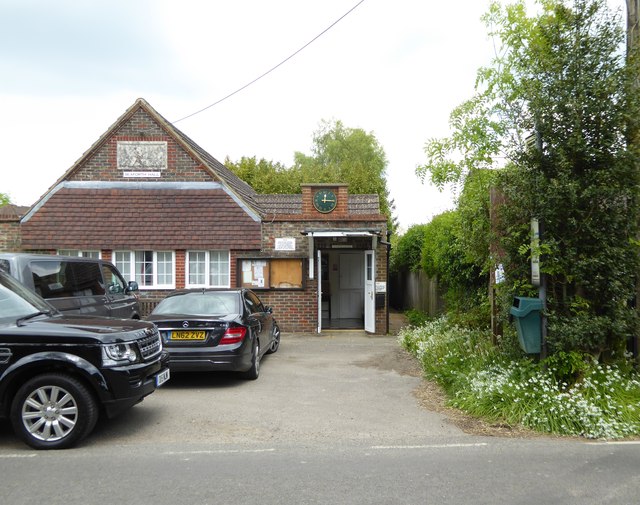
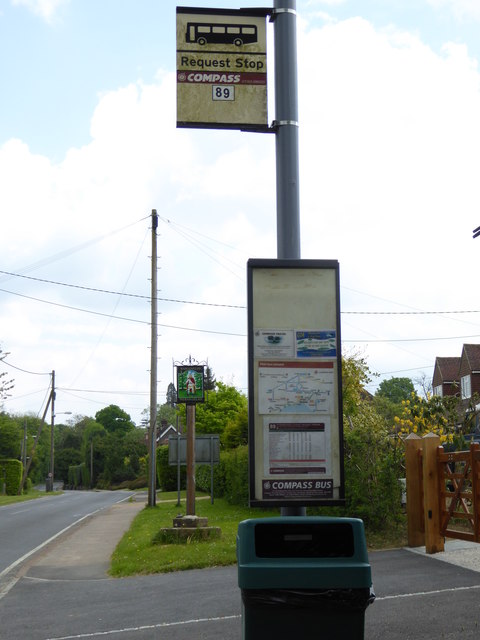
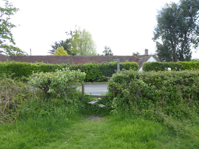
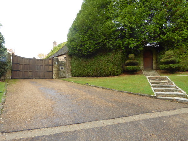
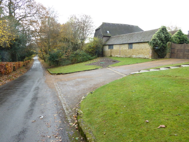
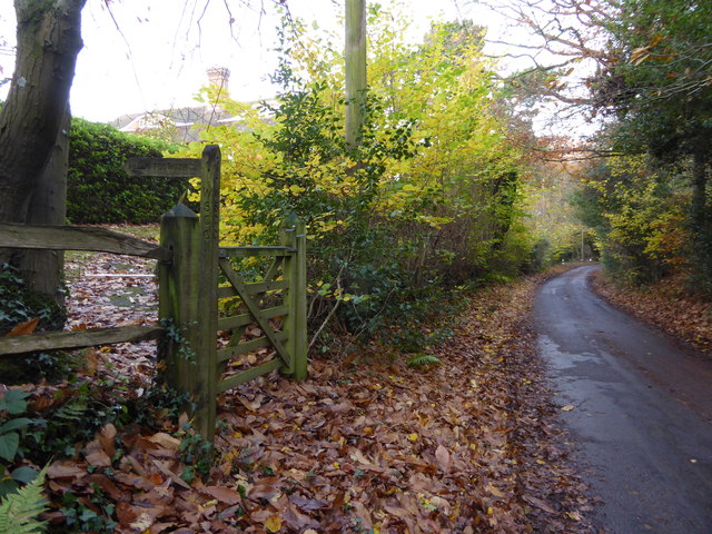
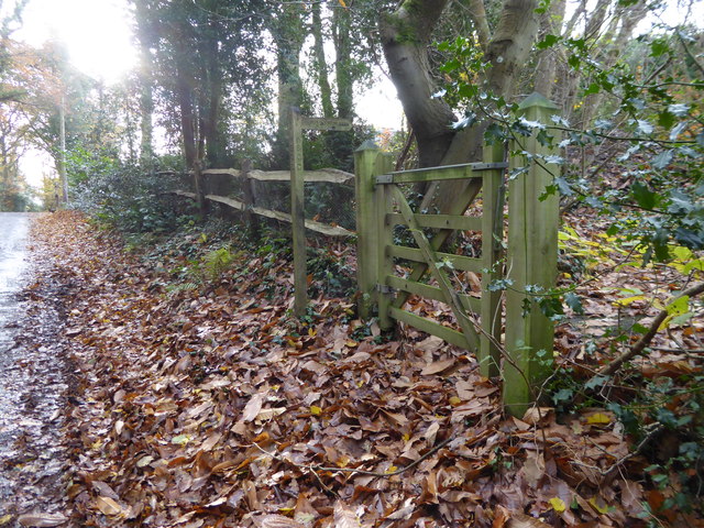
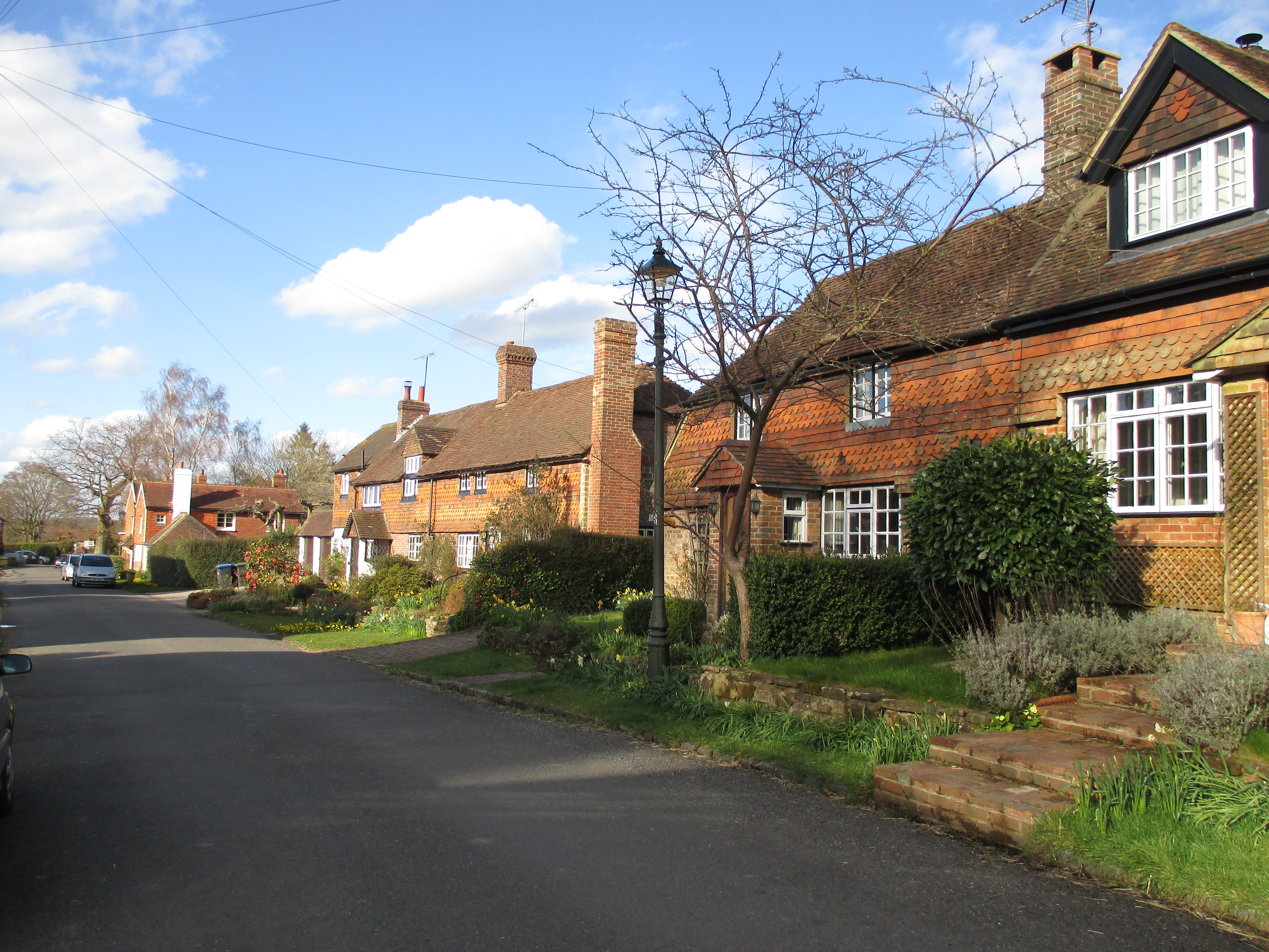
The Glen Images

Images are sourced within 2km of 51.012358/-0.22740783 or Grid Reference TQ2425. Thanks to Geograph Open Source API. All images are credited.

Eastlands Park House and entrance
Junction with grass triangle on Warninglid Lane
Footpath goes south from Warninglid Lane
Bridleway junction on Warninglid Lane
Looking east on Warninglid Lane
Dwelling at The Old Grange on Warninglid Lane This was taken from the bridleway.
Dwelling at The Old Grange on Warninglid Lane
This was taken from the bridleway.
Seaforth Hall on Cuckfield Lane An earlier picture without vehicles is at <a title="https://www.geograph.org.uk/photo/63506" href="https://www.geograph.org.uk/photo/63506">Link</a>.
Seaforth Hall on Cuckfield Lane
An earlier picture without vehicles is at Link.
Looking east from bus stop on Cuckfield Lane In the centre of the picture is the village sign with the names "Warninglid" and "Werna-Gelad".
Looking east from bus stop on Cuckfield Lane
In the centre of the picture is the village sign with the names "Warninglid" and "Werna-Gelad".
Public footpath reaches Cuckfield Lane from the north
Warninglid from the air Warninglid is the village right of centre, while the Lydhurst estate is in the centre. Towards upper right is Slaugham Mill Pond, with the A23 to its right.
Warninglid from the air
Warninglid is the village right of centre, while the Lydhurst estate is in the centre. Towards upper right is Slaugham Mill Pond, with the A23 to its right.
Entrances at Spronkett's
Looking south on Spronkett's Lane
Lodge at Colwood Manor See also <a title="https://www.geograph.org.uk/photo/4174966" href="https://www.geograph.org.uk/photo/4174966">Link</a>.
Lodge at Colwood Manor
See also Link.
Junction of lanes near Colwood Manor See also <a title="https://www.geograph.org.uk/photo/4174961" href="https://www.geograph.org.uk/photo/4174961">Link</a> from September 2014.
Junction of lanes near Colwood Manor
See also Link from September 2014.
Junction of Cross Colwood Lane with Spronkrett's Lane
Grass triangle at junction of lanes near Colwood Manor
Looking north on Spronkett's Lane past footpath junction
Looking south on Spronkett's Lane past footpath junction
Show me another place!

The Glen is located at Grid Ref: TQ2425 (Lat: 51.012358, Lng: -0.22740783)

Administrative County: West Sussex

District: Mid Sussex

Police Authority: Sussex

What 3 Words

///installs.levels.tomb. Near Cowfold, West Sussex

Nearby Locations

Oaken Wood The Glen

Related Wikis

Colwood, West Sussex

Colwood is a village near Warninglid in West Sussex, England. It is the site of Colwood Manor. == References == The geographic coordinates are from the...

Warninglid

Warninglid (historically known as Warninglyth and Warningeld) is a small village in the Mid Sussex District of West Sussex, England. It lies on the B2115...

Wykehurst Place

Wykehurst Place (or Park) is a Gothic Revival mansion in Bolney, West Sussex, England, resembling more the châteaux of the Loire than an English manor...

Crabtree, West Sussex

Crabtree is a hamlet in the parish of Lower Beeding and in Horsham District of West Sussex, England. It lies on the A281 road 4.4 miles (7.1 km) southeast...

Nearby Amenities

Located within 500m of 51.012358,-0.22740783
Barland's Farm
Place: farm
Postal Code: RH17 5SZ
Lat/Long: 51.0159635/-0.223951
Addr City: Haywards Heath
Addr Postcode: RH17 5SZ
Addr Street: Spronkett's Lane
Addr Village: Bolney
Man Made: water_well
Lat/Long: 51.0119684/-0.230843
Addr City: Haywards Heath
Addr Housename: Drewitts Cottages
Addr Postcode: RH17 5TB
Addr Street: Spronkett's Lane
Addr Village: Bolney
Lat/Long: 51.0106403/-0.2324389
Power: pole
Lat/Long: 51.013363/-0.2206193
Barrier: cattle_grid
Lat/Long: 51.015004/-0.2284354
The data included in this document is from www.openstreetmap.org. The data is made available under ODbL.

Have you been to The Glen?

Leave your review of The Glen below (or comments, questions and feedback).