Frogmore Bottom

Valley in Hertfordshire North Hertfordshire

England

Frogmore Bottom

The Red Lion, Preston
The Red Lion, Preston Credit: David Howard

Frogmore Bottom, located in Hertfordshire, England, is a picturesque valley that is nestled within the Chiltern Hills. This scenic area is known for its natural beauty and tranquil atmosphere, attracting visitors who seek a peaceful retreat from the bustling city life.

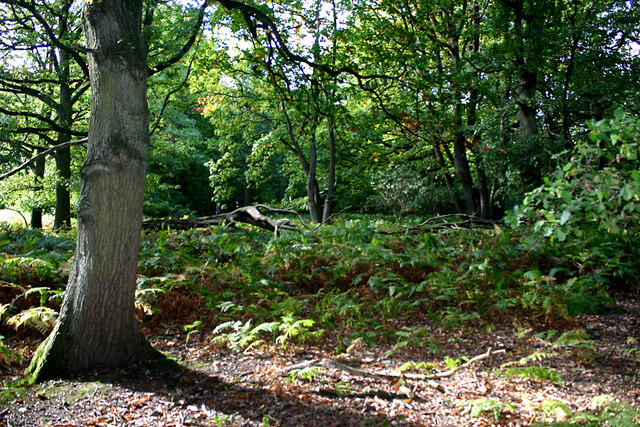
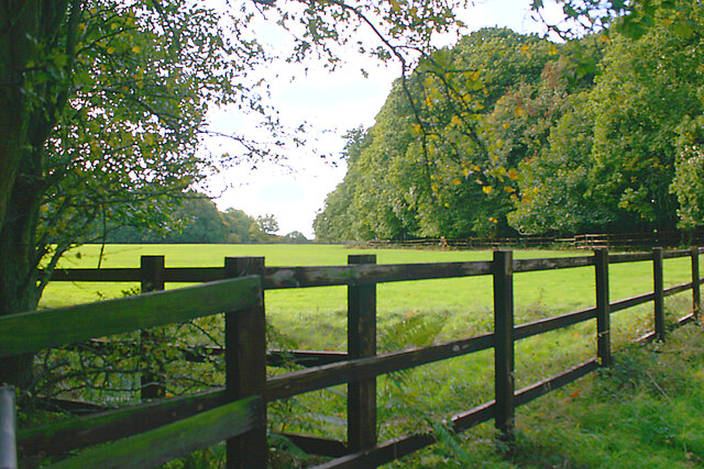
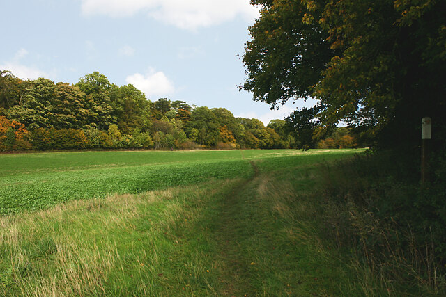
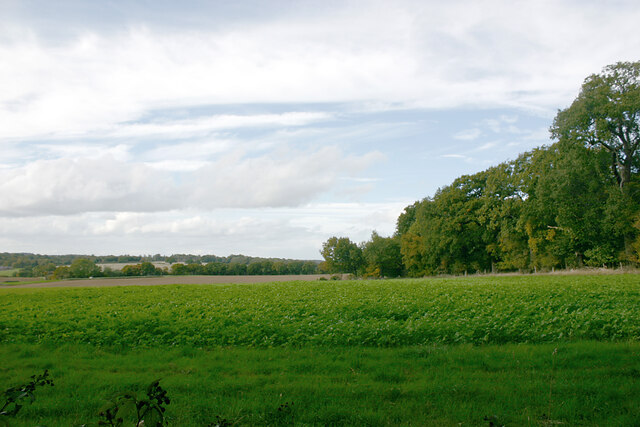
The valley is characterized by its lush green meadows, rolling hills, and dense woodland, creating a diverse and thriving ecosystem. It is home to a wide variety of wildlife, including birds, insects, and small mammals, making it a haven for nature enthusiasts and birdwatchers.

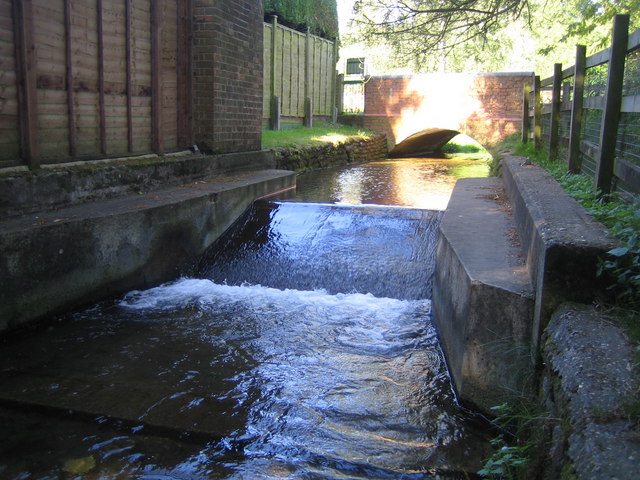
Frogmore Bottom is also famous for its charming little stream that meanders through the valley, adding to its idyllic charm. The stream is fed by natural springs that originate from the surrounding hills, providing a constant flow of fresh water.

In addition to its natural attractions, Frogmore Bottom offers several walking trails and pathways that wind through the valley, allowing visitors to explore the area's beauty up close. These trails cater to all levels of fitness, from leisurely strolls to more challenging hikes.

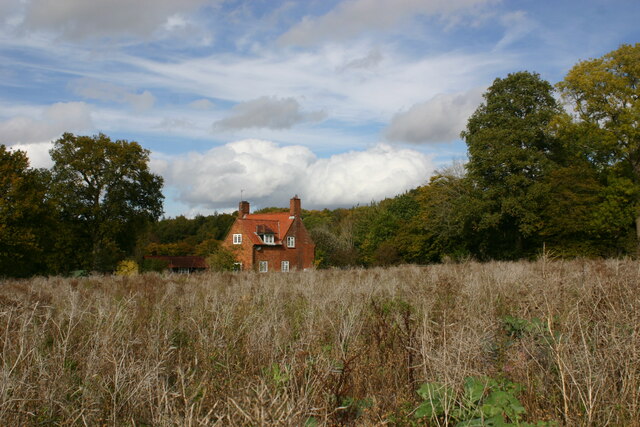
The valley is also home to a handful of quaint cottages and farmhouses, giving it a rustic and traditional feel. Some of these historic buildings have been converted into holiday rentals, offering visitors the chance to experience the tranquility of Frogmore Bottom firsthand.

Overall, Frogmore Bottom in Hertfordshire is a captivating destination that showcases the beauty of the British countryside. With its stunning landscapes, diverse wildlife, and peaceful atmosphere, it provides an ideal escape for those seeking solace in nature.

If you have any feedback on the listing, please let us know in the comments section below.

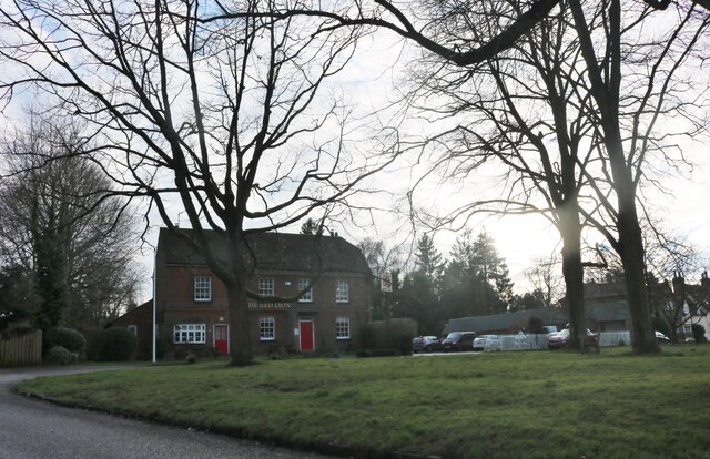
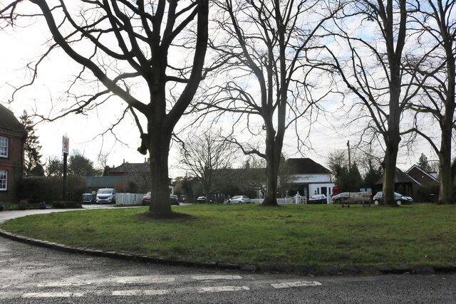
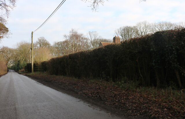
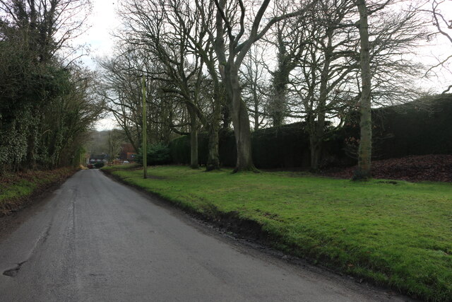
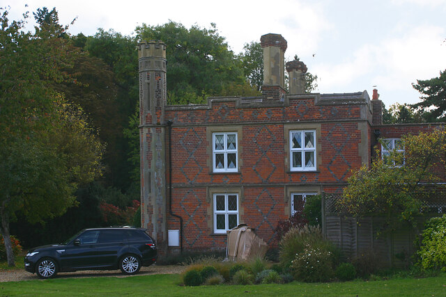
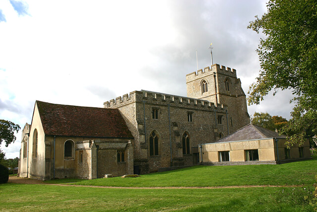
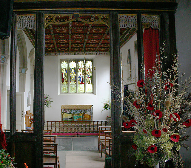
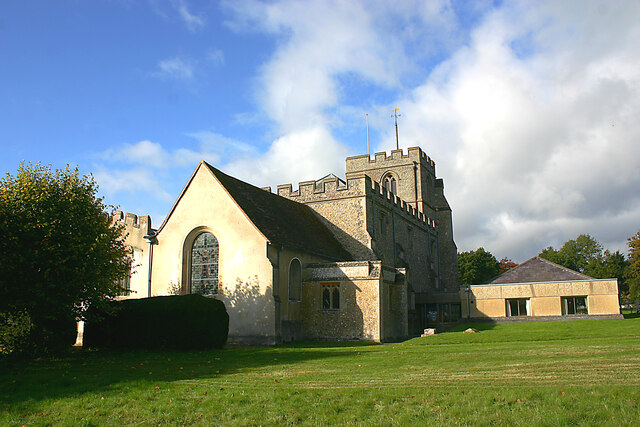
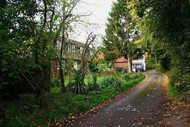
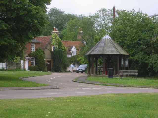
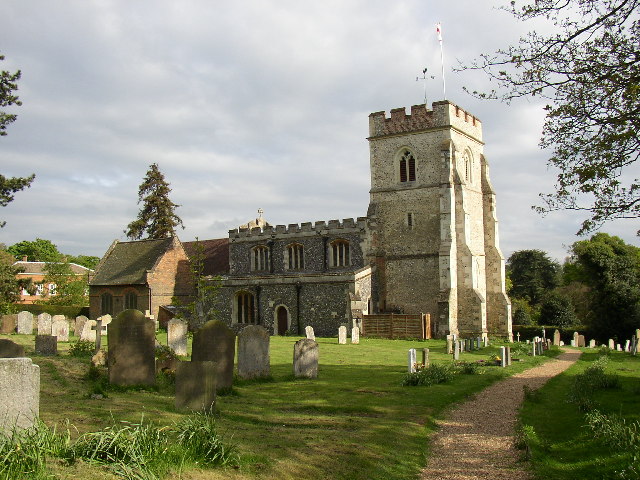
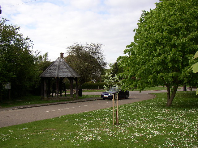
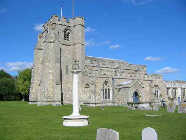
Frogmore Bottom Images

Images are sourced within 2km of 51.892143/-0.29529652 or Grid Reference TL1722. Thanks to Geograph Open Source API. All images are credited.

The Red Lion, Preston
The green in Preston
School Lane, Preston
Hitchwood Lane, Preston
Lady Grove, Preston (Herts) 'Lady Grove' appears twice on the OS map and seems to indicate two areas of woodland separated by an area of grassland. This picture shows the northern part of the wood.
Lady Grove, Preston (Herts)
'Lady Grove' appears twice on the OS map and seems to indicate two areas of woodland separated by an area of grassland. This picture shows the northern part of the wood.
Lady Grove, Preston (Herts) 'Lady Grove' appears twice on the OS map and seems to indicate two areas of woodland separated by an area of grassland. This image shows the latter with the northern part of the wood seen on the right and the southern part on the left.
Lady Grove, Preston (Herts)
'Lady Grove' appears twice on the OS map and seems to indicate two areas of woodland separated by an area of grassland. This image shows the latter with the northern part of the wood seen on the right and the southern part on the left.
Farmland between woods near Preston (Herts) The Firs is left and Pinfold Wood right.
Farmland between woods near Preston (Herts)
The Firs is left and Pinfold Wood right.
Pinfold Cottage, Stagenhoe Park, St Paul's Walden Not much has changed here since <a href="https://www.geograph.org.uk/photo/518926">TL1823 : Cottage between Pinfold Wood and Foxholes Wood</a> was taken and the same observations still apply.
Pinfold Cottage, Stagenhoe Park, St Paul's Walden
Not much has changed here since TL1823 : Cottage between Pinfold Wood and Foxholes Wood was taken and the same observations still apply.
The Dower House, Stagenhoe Park, St Paul's Walden Referred to in the list of Listed Buildings as "Pair of gardeners houses, now one house. Mid C19. Red brick with black brick diapering and patterns, castellated Neo-Tudor style with stucco dressings".
The Dower House, Stagenhoe Park, St Paul's Walden
Referred to in the list of Listed Buildings as "Pair of gardeners houses, now one house. Mid C19. Red brick with black brick diapering and patterns, castellated Neo-Tudor style with stucco dressings".
Farmland adjacent to Foxholes Wood, St Paul's Walden Foxholes Wood is to the right with Hearnsfield Wood in the middle distance.
Farmland adjacent to Foxholes Wood, St Paul's Walden
Foxholes Wood is to the right with Hearnsfield Wood in the middle distance.
All Saints, St Paul's Walden - north elevation Most of the church is C14 but the chancel (left) is C18 and the Church Rooms (right) date from 1973-74.
All Saints, St Paul's Walden - north elevation
Most of the church is C14 but the chancel (left) is C18 and the Church Rooms (right) date from 1973-74.
All Saints, St Paul's Walden - side chapel The chapel is faced by screen of Perpendicular age.
All Saints, St Paul's Walden - side chapel
The chapel is faced by screen of Perpendicular age.
All Saints, St Paul's Walden - north-east elevation Most of the church is C14 but the chancel (centre) is C18 and the adjoining Church Rooms (right) date from 1973-74.
All Saints, St Paul's Walden - north-east elevation
Most of the church is C14 but the chancel (centre) is C18 and the adjoining Church Rooms (right) date from 1973-74.
Whitehouse Lane, St Paul's Walden
Preston village Rather a pleasant bus stop shelter.
Preston village
Rather a pleasant bus stop shelter.
King's Walden Church This church is on the edge of parkland.  It is a large church serving dispersed settlements rather than a village.
King's Walden Church
This church is on the edge of parkland. It is a large church serving dispersed settlements rather than a village.
The green at Preston In the little building there is an elaborate system of gearwheels, shown in <a href="https://www.geograph.org.uk/photo/89403">TL1824 : The well at Preston</a>.
The green at Preston
In the little building there is an elaborate system of gearwheels, shown in TL1824 : The well at Preston.
Church of All Saints, St Paul's Walden The obelisk in the foreground is a memorial to Queen Elizabeth the Queen Mother (formerly Lady Elizabeth Bowes-Lyon and later Duchess of York) who lived at The Bury as a child.
Church of All Saints, St Paul's Walden
The obelisk in the foreground is a memorial to Queen Elizabeth the Queen Mother (formerly Lady Elizabeth Bowes-Lyon and later Duchess of York) who lived at The Bury as a child.
Show me another place!

Frogmore Bottom is located at Grid Ref: TL1722 (Lat: 51.892143, Lng: -0.29529652)

Administrative County: Hertfordshire

District: North Hertfordshire

Police Authority: Hertfordshire

What 3 Words

///reading.counts.flotation. Near Kimpton, Hertfordshire

Nearby Locations

Frogmore Bottom Frogmore

Related Wikis

Stagenhoe

Stagenhoe is a Grade II listed stately home and surrounding gardens located in the village of St Paul's Walden in Hertfordshire. It is approximately 6...

Bendish

Bendish is a hamlet located in the parish of St Paul's Walden in Hertfordshire. In the 18th century, Bendish was a small town. It is about 3 miles east...

St Paul's Walden Bury

St. Paul's Walden Bury is an English country house and surrounding gardens in the village of St Paul's Walden in Hertfordshire. The house is a Grade II...

Preston, Hertfordshire

Preston is a village and civil parish about 3 miles (4.8 km) south of Hitchin in Hertfordshire, England. At the 2011 Census the population was 420.The...

Whitwell, Hertfordshire

Whitwell is a village in the parish of St Paul's Walden about six miles south of Hitchin in Hertfordshire, England. Situated on a tableland, a spur of...

St Paul's Walden

St Paul's Walden is a village about 5 miles (8 km) south of Hitchin in Hertfordshire, England. The civil parish of St Paul's Walden also includes the village...

Princess Helena College

PHC was a co-educational independent day and boarding school for students aged 11 to 18 in Preston near Hitchin in Hertfordshire, England. The school was...

King's Walden

King's Walden is a civil parish in the English county of Hertfordshire. The name includes an apostrophe, but this is often omitted. The main settlement...

Nearby Amenities

Located within 500m of 51.892143,-0.29529652
Frogmore Bottom
Place: locality
Lat/Long: 51.8917891/-0.2940991
Frogmore
Place: locality
Lat/Long: 51.8929872/-0.2990663
The data included in this document is from www.openstreetmap.org. The data is made available under ODbL.

Have you been to Frogmore Bottom?

Leave your review of Frogmore Bottom below (or comments, questions and feedback).