The Vale
Valley in Lincolnshire West Lindsey
England
The Vale
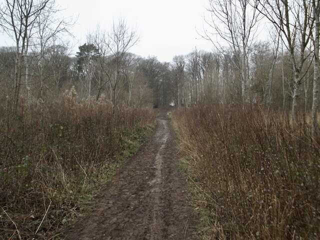
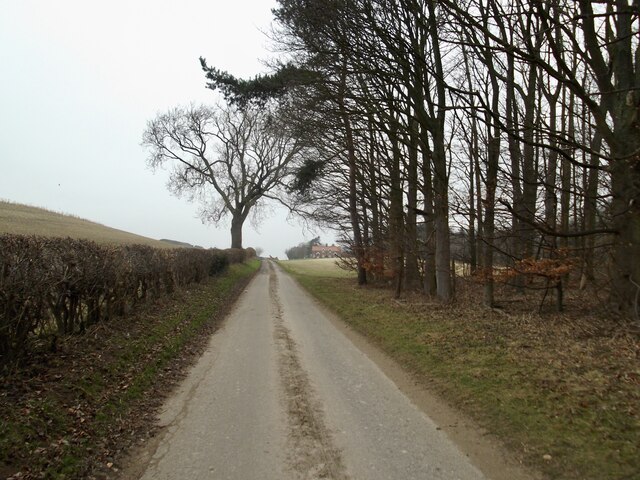
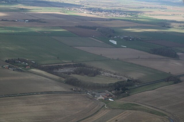
The Vale, located in Lincolnshire, is a picturesque valley nestled within the Lincolnshire Wolds Area of Outstanding Natural Beauty. The valley stretches for approximately 20 miles, encompassing charming villages and rolling countryside. The area is known for its idyllic landscapes and tranquil atmosphere.
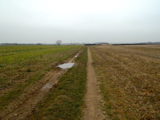
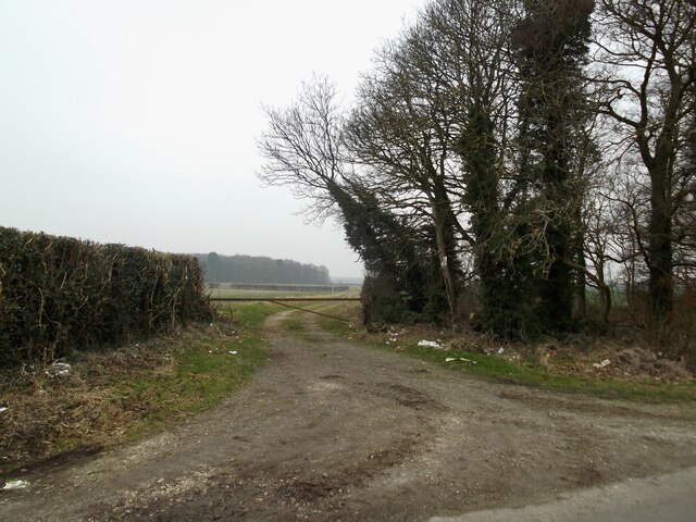
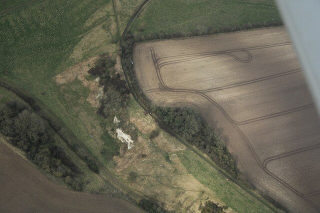
One of the key features of The Vale is its rich agricultural heritage. The fertile soils of the valley have made it an ideal location for farming, and the area is dotted with farmsteads and fields of crops. The traditional farming practices have been preserved, and visitors can witness the time-honored methods still in use.
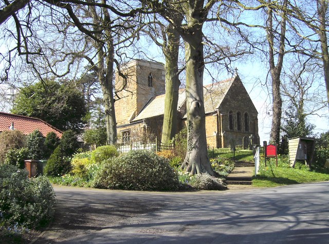
The villages within The Vale offer a glimpse into the past with their well-preserved historic buildings and quaint charm. Each village has its own unique character, with traditional thatched cottages, village greens, and ancient churches. The local community takes great pride in its heritage and hosts various events throughout the year, celebrating the local history and culture.
The natural beauty of The Vale is a haven for outdoor enthusiasts. The rolling hills provide excellent opportunities for hiking, cycling, and horseback riding. The valley is crisscrossed with footpaths and bridleways, allowing visitors to explore the area's stunning landscapes and encounter the abundant wildlife that calls The Vale home.
In conclusion, The Vale in Lincolnshire is a scenic valley renowned for its agricultural heritage, picturesque villages, and natural beauty. It offers a peaceful escape from the hustle and bustle of city life, providing visitors with a chance to immerse themselves in the tranquility of the countryside.
If you have any feedback on the listing, please let us know in the comments section below.
The Vale Images
Images are sourced within 2km of 53.526135/-0.23103796 or Grid Reference TA1704. Thanks to Geograph Open Source API. All images are credited.


The Vale is located at Grid Ref: TA1704 (Lat: 53.526135, Lng: -0.23103796)
Administrative County: Lincolnshire
District: West Lindsey
Police Authority: Lincolnshire
What 3 Words
///logo.drifters.stands. Near Laceby, Lincolnshire
Nearby Locations
Related Wikis

Swallow, Lincolnshire
Swallow is a small village and civil parish in the West Lindsey district of Lincolnshire, England, on the A46 road 4 miles (6.4 km) north-east from Caistor...
Irby upon Humber
Irby upon Humber or Irby-on-Humber is a small village and (as just Irby) a civil parish in North East Lincolnshire, England. The village is situated on...

Riby
Riby is a village and civil parish in the West Lindsey district of Lincolnshire, England. The population of the civil parish was 129 at the 2011 census...

Cuxwold
Cuxwold is a village and former civil parish, now in the parish of Swallow, in the West Lindsey district of Lincolnshire, England. It lies in the Lincolnshire...

Aylesby
Aylesby is a village and civil parish in North East Lincolnshire, England. It is situated near the A18 road, approximately 4 miles (6 km) west from Cleethorpes...

Beelsby
Beelsby is a village in North East Lincolnshire, England. The village is situated approximately 6 miles (10 km) south-west from Grimsby. Beelsby population...

Borough of Cleethorpes
Cleethorpes was a local government district in Humberside, England from 1974 to 1996. It was granted borough status in 1975. It was formed on 1 April...

Cabourne
Cabourne is a hamlet and civil parish in the West Lindsey district of Lincolnshire, England. It is situated on the A46 road, and just over 1 mile (1.6...
Nearby Amenities
Located within 500m of 53.526135,-0.23103796Have you been to The Vale?
Leave your review of The Vale below (or comments, questions and feedback).