Dawber's Wood
Wood, Forest in Lincolnshire West Lindsey
England
Dawber's Wood
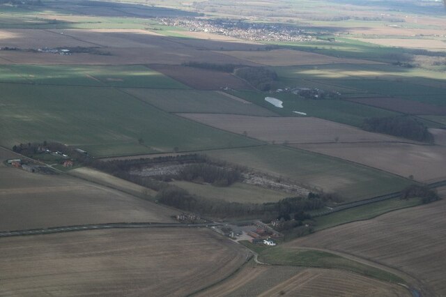
Dawber's Wood is a picturesque forest located in the county of Lincolnshire, England. Covering an area of approximately 100 acres, the wood is known for its rich biodiversity and stunning natural beauty. It is situated near the village of Dawber, in close proximity to the Lincolnshire Wolds Area of Outstanding Natural Beauty.
The wood is predominantly made up of broadleaf trees, including oak, beech, and ash, creating a dense and lush canopy that provides a haven for a wide variety of wildlife. The forest floor is carpeted with an array of wildflowers, including bluebells and primroses, which add bursts of color to the woodland landscape.
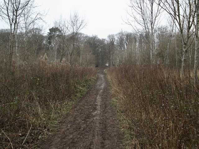
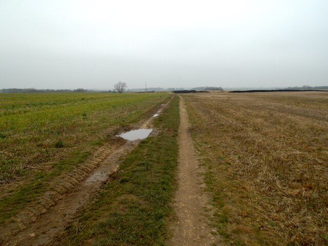
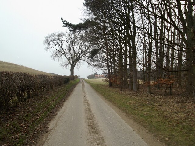
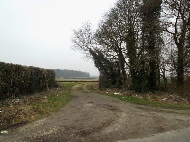
Dawber's Wood is a popular destination for nature enthusiasts, hikers, and birdwatchers, offering a network of well-maintained trails that wind through the forest. These paths allow visitors to explore the wood at their own pace, immersing themselves in the tranquil atmosphere and enjoying the peaceful sounds of birdsong and rustling leaves.
The wood is home to a diverse range of wildlife, including deer, foxes, badgers, and numerous bird species. Birdwatchers may be lucky enough to spot woodpeckers, tawny owls, or even the rare sight of a red kite soaring above the treetops.
With its natural beauty and abundant wildlife, Dawber's Wood provides a perfect escape from the hustle and bustle of everyday life. Whether it's a leisurely stroll, a birdwatching expedition, or simply a moment of tranquility, this woodland sanctuary offers a peaceful retreat for visitors of all ages to enjoy.
If you have any feedback on the listing, please let us know in the comments section below.
Dawber's Wood Images
Images are sourced within 2km of 53.524925/-0.23493532 or Grid Reference TA1704. Thanks to Geograph Open Source API. All images are credited.


Dawber's Wood is located at Grid Ref: TA1704 (Lat: 53.524925, Lng: -0.23493532)
Administrative County: Lincolnshire
District: West Lindsey
Police Authority: Lincolnshire
What 3 Words
///debating.ambitions.garden. Near Laceby, Lincolnshire
Nearby Locations
Related Wikis

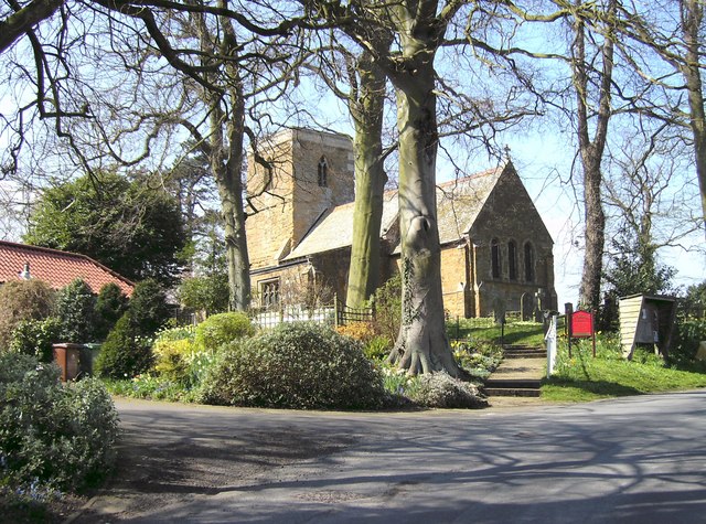
Swallow, Lincolnshire
Swallow is a small village and civil parish in the West Lindsey district of Lincolnshire, England, on the A46 road 4 miles (6.4 km) north-east from Caistor...
Irby upon Humber
Irby upon Humber or Irby-on-Humber is a small village and (as just Irby) a civil parish in North East Lincolnshire, England. The village is situated on...

Riby
Riby is a village and civil parish in the West Lindsey district of Lincolnshire, England. The population of the civil parish was 129 at the 2011 census...

Cuxwold
Cuxwold is a village and former civil parish, now in the parish of Swallow, in the West Lindsey district of Lincolnshire, England. It lies in the Lincolnshire...

Cabourne
Cabourne is a hamlet and civil parish in the West Lindsey district of Lincolnshire, England. It is situated on the A46 road, and just over 1 mile (1.6...
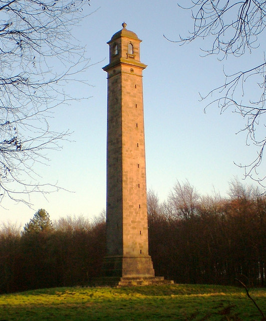
Pelham's Pillar
Pelham's Pillar is a monument dedicated to Charles Anderson-Pelham, 1st Earl of Yarborough who died in 1846. The Pillar is in Cabourne, West Lindsey on...

Aylesby
Aylesby is a village and civil parish in North East Lincolnshire, England. It is situated near the A18 road, approximately 4 miles (6 km) west from Cleethorpes...

Beelsby
Beelsby is a village in North East Lincolnshire, England. The village is situated approximately 6 miles (10 km) south-west from Grimsby. Beelsby population...
Nearby Amenities
Located within 500m of 53.524925,-0.23493532Have you been to Dawber's Wood?
Leave your review of Dawber's Wood below (or comments, questions and feedback).