Beech Bottom

Valley in Hertfordshire St. Albans

England

Beech Bottom

The Green Man, Sandridge
The Green Man, Sandridge Credit: David Howard

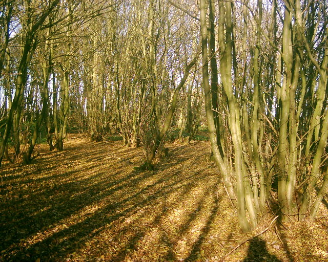
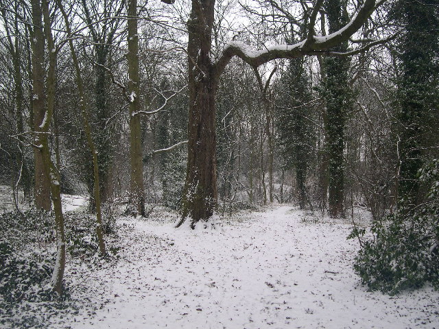
Beech Bottom is a picturesque valley located in the county of Hertfordshire, England. Situated amidst the rolling countryside, this idyllic spot is known for its natural beauty and tranquil atmosphere. The valley is named after the abundance of beech trees that line its slopes, creating a stunning canopy of greenery.

Beech Bottom is characterized by its gently sloping landscape, with a small stream meandering through the valley floor. The area is home to a diverse range of flora and fauna, making it a haven for nature enthusiasts and wildlife lovers. Visitors can expect to encounter a variety of bird species, including woodpeckers, thrushes, and owls, as well as various mammals such as rabbits and squirrels.

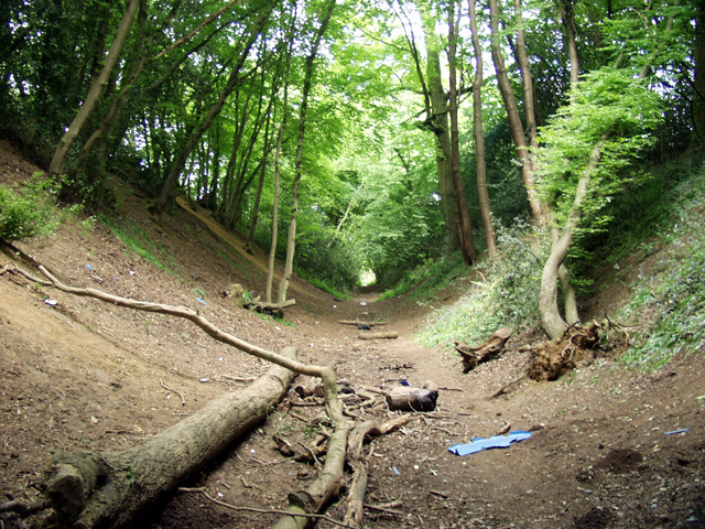
The valley offers several walking trails and footpaths, allowing visitors to explore its natural wonders at their own pace. The paths wind through the beech woodland, providing opportunities for peaceful strolls and picnics amidst the serene surroundings. The valley is especially popular during the autumn season when the beech trees showcase their vibrant hues of gold and orange.

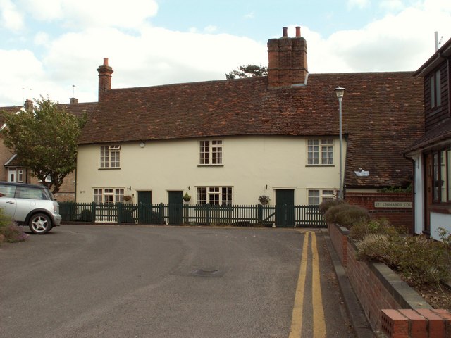
Beech Bottom is also in close proximity to several charming villages and towns, offering a glimpse into the rich heritage and culture of the region. The nearby market town of Hertford, with its historic architecture and bustling shops, is a popular destination for those seeking a taste of traditional English charm.

Overall, Beech Bottom is a hidden gem in Hertfordshire, offering visitors a chance to escape the hustle and bustle of everyday life and immerse themselves in the beauty of nature.

If you have any feedback on the listing, please let us know in the comments section below.
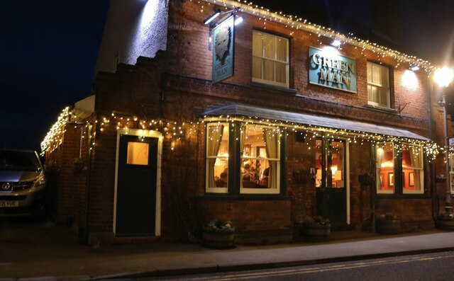
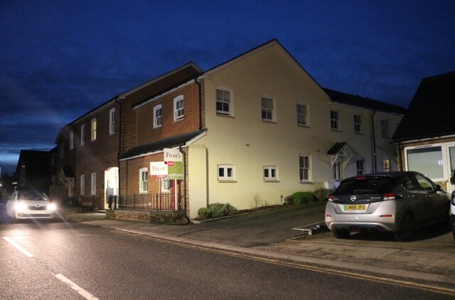
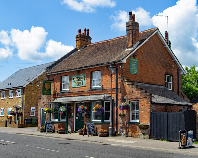
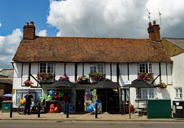
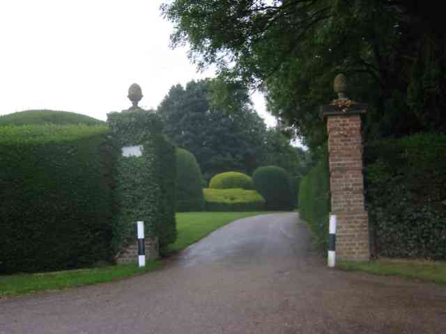
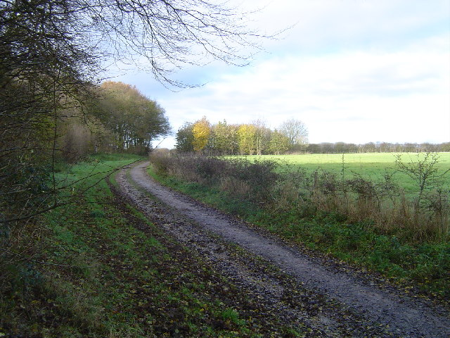
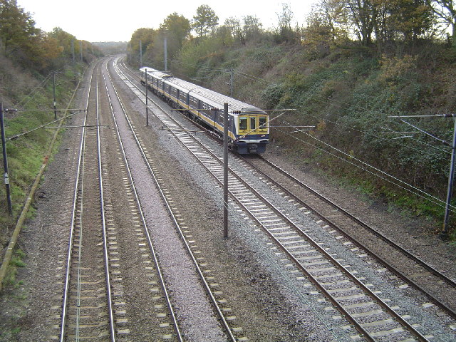
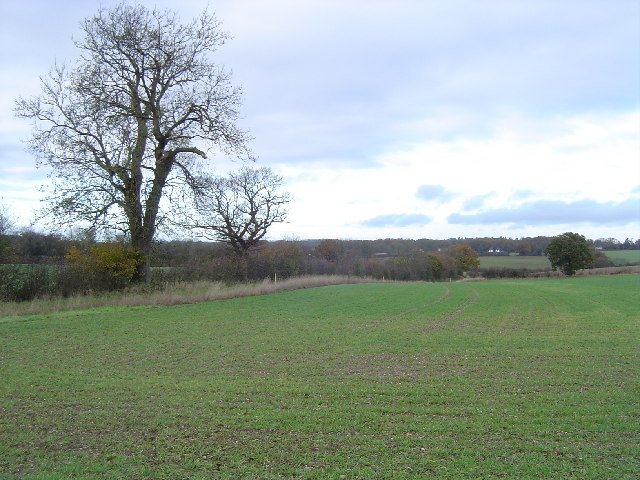
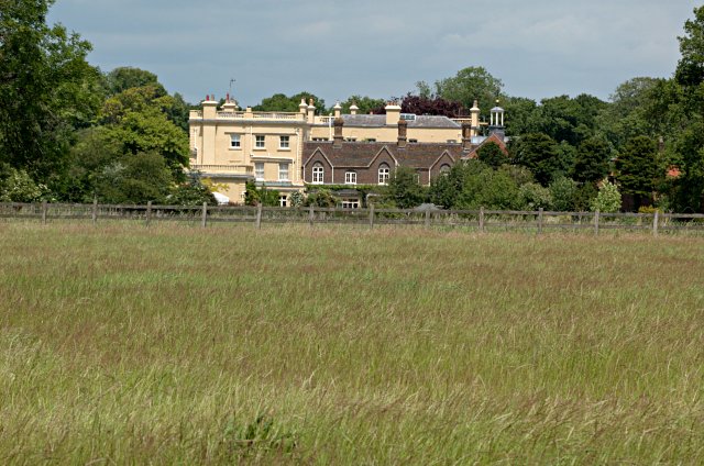
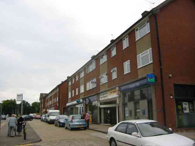
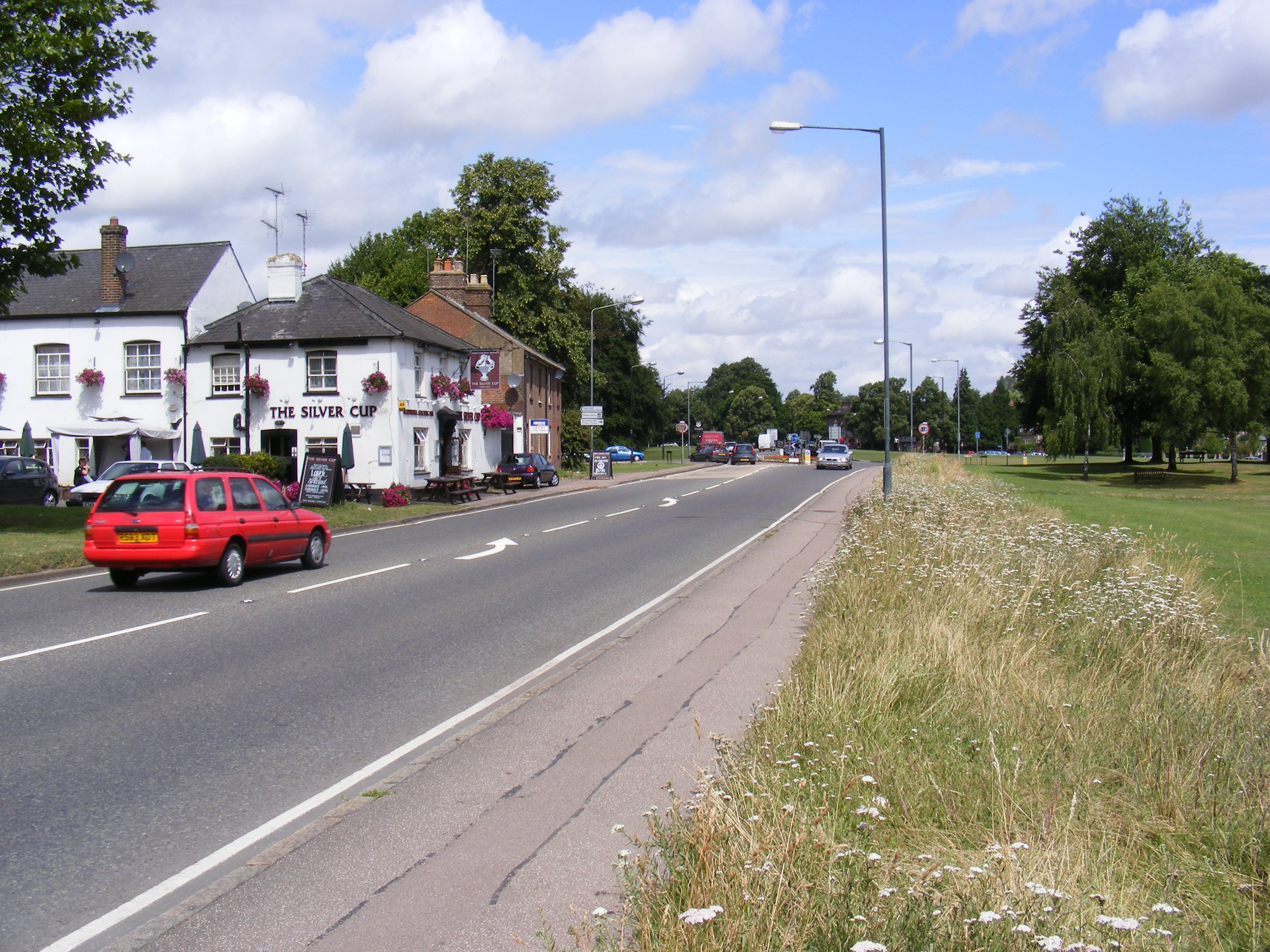
Beech Bottom Images

Images are sourced within 2km of 51.769347/-0.3257682 or Grid Reference TL1509. Thanks to Geograph Open Source API. All images are credited.

The Green Man, Sandridge
High Street, Sandridge
Sandridge : "Green Man" public house
Sandridge : village shop Grade II listed - <span class="nowrap"><a title="https://historicengland.org.uk/listing/the-list/list-entry/1308275?section=official-list-entry" rel="nofollow ugc noopener" href="https://historicengland.org.uk/listing/the-list/list-entry/1308275?section=official-list-entry">Link</a><img style="margin-left:2px;" alt="External link" title="External link - shift click to open in new window" src="https://s1.geograph.org.uk/img/external.png" width="10" height="10"/></span>.
Sandridge : village shop
Grade II listed - LinkExternal link.
Entrance gates, Sandridgebury Entrance gate on the lane leading to Sandridgebury Farm, though not the entrance to the farm.
Entrance gates, Sandridgebury
Entrance gate on the lane leading to Sandridgebury Farm, though not the entrance to the farm.
Sandridge: Bridleway The bridleway from Sandridge to Ayres End Lane viewed looking north westwards with the coppiced hornbeam Langley Wood to the left.
Sandridge: Bridleway
The bridleway from Sandridge to Ayres End Lane viewed looking north westwards with the coppiced hornbeam Langley Wood to the left.
Railway line between St Albans and Harpenden Viewed looking southwards from Cheapside Farm bridge, a northbound Thameslink train approaches. This is the main railway line from London to Luton, Bedford, Kettering, Leicester, and Nottingham.
Railway line between St Albans and Harpenden
Viewed looking southwards from Cheapside Farm bridge, a northbound Thameslink train approaches. This is the main railway line from London to Luton, Bedford, Kettering, Leicester, and Nottingham.
Farmland twixt St Albans and Harpenden Viewed looking northwards from the track to Cheapside Farm.
Farmland twixt St Albans and Harpenden
Viewed looking northwards from the track to Cheapside Farm.
Childwickbury Manor House Childwickbury manor, formerly Stanley Kubrick's house.
Childwickbury Manor House
Childwickbury manor, formerly Stanley Kubrick's house.
Coppicing This is a section of coppice within Langley Wood. The wood is accessible from the adjacent footpath.
Coppicing
This is a section of coppice within Langley Wood. The wood is accessible from the adjacent footpath.
A row of old terraced houses by Sandridge church
Beech Bottom Dyke Iron Age earthwork in the middle of an urban area.
Beech Bottom Dyke
Iron Age earthwork in the middle of an urban area.
RUPP through Bentsley spinney, Marshalswick (Road Used as a Public Path) TL1609 has changed dramatically since the 30s. Post war housing now dominates land use in the SE of the square, newer housing to the SW and W, schools and community open space to the north.

Happily there remain several green spaces, including Bentsley Spinney at the west edge of the square. Bentsey Spinney used to be used for gravel extraction, deressions due to gravel pit existing in the Spinney.

TL1609.. a nice place to live...
RUPP through Bentsley spinney, Marshalswick
(Road Used as a Public Path) TL1609 has changed dramatically since the 30s. Post war housing now dominates land use in the SE of the square, newer housing to the SW and W, schools and community open space to the north. Happily there remain several green spaces, including Bentsley Spinney at the west edge of the square. Bentsey Spinney used to be used for gravel extraction, deressions due to gravel pit existing in the Spinney. TL1609.. a nice place to live...
Clarence Park Cafe  St Albans This cafe used to be the public lavatories until 
using a toilet went out of fashion.
Clarence Park Cafe St Albans
This cafe used to be the public lavatories until using a toilet went out of fashion.
The Lodge  Clarence Park St Albans A tied cottage provided for the Parks Superintendent. His office is the small room to the left
The Lodge Clarence Park St Albans
A tied cottage provided for the Parks Superintendent. His office is the small room to the left
Church Tower at Marshalswick St Albans I am still trying to ascertain what is hidden inside this unusual structure. Bell or air conditioner?
Church Tower at Marshalswick St Albans
I am still trying to ascertain what is hidden inside this unusual structure. Bell or air conditioner?
The library at Marshalswick The library complements the large collection of shops on the other side of The Ridgeway
The library at Marshalswick
The library complements the large collection of shops on the other side of The Ridgeway
Shopping Parade in The Ridgeway, Marshalswick This line of shops continues around the corner and is provided with a large car park. So is a busy area.
Shopping Parade in The Ridgeway, Marshalswick
This line of shops continues around the corner and is provided with a large car park. So is a busy area.
Show me another place!

Beech Bottom is located at Grid Ref: TL1509 (Lat: 51.769347, Lng: -0.3257682)

Administrative County: Hertfordshire

District: St. Albans

Police Authority: Hertfordshire

What 3 Words

///clap.copy.prompting. Near St Albans, Hertfordshire

Related Wikis

Beech Bottom Dyke

Beech Bottom Dyke, is a large ditch running for almost a mile at the northern edge of St Albans, Hertfordshire flanked by banks on both sides. It is up...

St Albans Girls' School

St Albans Girls' School, usually referred to as STAGS, is a girls' secondary school in St Albans, Hertfordshire. It was formerly known as "St Albans Girls...

A1081 road

The A1081 is a road in the south of England. It starts at Luton Airport in Bedfordshire and runs to High Barnet in Greater London via Harpenden, St Albans...

Bernards Heath

Bernards Heath is a heathland in St Albans, Hertfordshire, the site of the Second Battle of St Albans in 1461 during the Wars of the Roses. In the 19th...

Sandringham School

Sandringham School is a secondary school with academy status in Marshalswick, St Albans, Hertfordshire. It was established in 1988 following a merger of...

Townsend Church of England School

Townsend Church of England School is a voluntary aided secondary school based in St Albans, Hertfordshire, England. The students attending are aged between...

The Wick Local Nature Reserve

The Wick is a 3.4 hectare Local Nature Reserve in St Albans in Hertfordshire. It is owned and managed by St Albans City Council. It is also designated...

Marshalswick

Marshalswick is a suburb of St Albans in Hertfordshire, England, located around 1.5 miles northeast of the city centre. The area was developed from the...

Nearby Amenities

Located within 500m of 51.769347,-0.3257682
Created By: Merkaartor 0.12
Lat/Long: 51.7708614/-0.3190502
Bus Stop
Sandridge Gate Business Centre
Bench: yes
Bin: no
Bus: yes
Lit: yes
Naptan AtcoCode: 210021501800
Naptan Bearing: SW
Naptan CommonName: Sandridge Gate Business Centre
Naptan Crossing: nr Deans Gardens
Naptan Indicator: S-bound
Naptan Landmark: nr Deans Gardens
Naptan NaptanCode: hrtdagja
Naptan PlusbusZoneRef: STALBCY
Naptan ShortCommonName: NA
Naptan Street: St Albans Road
Naptan Verified: no
Public Transport: platform
Shelter: no
Source: naptan_import
Tactile Paving: no
Lat/Long: 51.7696406/-0.318873
Bus Stop
King William IV PH
Bus: yes
Local Ref: NR
Naptan AtcoCode: 210021502095
Naptan Bearing: NW
Naptan CommonName: King William IV PH
Naptan Crossing: opp Valley Road
Naptan Indicator: nr
Naptan Landmark: opp Valley Road
Naptan NaptanCode: hrtdadtp
Naptan PlusbusZoneRef: STALBCY
Naptan ShortCommonName: NA
Naptan Street: Beech Road
Naptan Verified: no
Public Transport: platform
Source: naptan_import
Lat/Long: 51.76668/-0.3231279
Bus Stop
King William IV PH
Bus: yes
Naptan AtcoCode: 210021502270
Naptan Bearing: SE
Naptan CommonName: King William IV PH
Naptan Crossing: Valley Road
Naptan Indicator: opp
Naptan Landmark: Valley Road
Naptan NaptanCode: hrtdadgp
Naptan PlusbusZoneRef: STALBCY
Naptan ShortCommonName: NA
Naptan Street: Beech Road
Naptan Verified: no
Public Transport: platform
Shelter: yes
Source: naptan_import
Lat/Long: 51.7670325/-0.323883
Bus Stop
Lancaster Road
Bench: yes
Bin: yes
Bus: yes
Lit: yes
Naptan AtcoCode: 210021502280
Naptan Bearing: SW
Naptan CommonName: Lancaster Road
Naptan Crossing: opp Marshall Avenue
Naptan Indicator: adj
Naptan Landmark: opp Marshall Avenue
Naptan NaptanCode: hrtdadgt
Naptan PlusbusZoneRef: STALBCY
Naptan ShortCommonName: NA
Naptan Street: Sandridge Road
Naptan Verified: no
Public Transport: platform
Shelter: yes
Source: naptan_import
Tactile Paving: yes
Lat/Long: 51.7651224/-0.3236204
Bus Stop
Firbank Road
Bus: yes
Naptan AtcoCode: 210021502290
Naptan Bearing: SW
Naptan CommonName: Firbank Road
Naptan Crossing: Beech Road
Naptan Indicator: S-bound
Naptan Landmark: Beech Road
Naptan NaptanCode: hrtdadgw
Naptan PlusbusZoneRef: STALBCY
Naptan ShortCommonName: NA
Naptan Street: Firbank Road
Naptan Verified: no
Public Transport: platform
Source: naptan_import
Lat/Long: 51.7675805/-0.3276309
Bus Stop
Lancaster Road
Bench: yes
Bin: yes
Bus: yes
Lit: yes
Naptan AtcoCode: 210021509520
Naptan Bearing: NE
Naptan CommonName: Lancaster Road
Naptan Crossing: Beech Road
Naptan Indicator: opp
Naptan Landmark: Beech Road
Naptan NaptanCode: hrtatpdp
Naptan PlusbusZoneRef: STALBCY
Naptan ShortCommonName: NA
Naptan Street: Sandridge Road
Naptan Verified: no
Public Transport: platform
Shelter: no
Source: naptan_import
Tactile Paving: no
Lat/Long: 51.7656277/-0.3231089
Bus Stop
Valley Road
Bus: yes
Naptan AtcoCode: 210021509530
Naptan Bearing: NW
Naptan CommonName: Valley Road
Naptan Crossing: opp Canberra Close
Naptan Indicator: N-bound
Naptan Landmark: opp Canberra Close
Naptan NaptanCode: hrtatpdt
Naptan PlusbusZoneRef: STALBCY
Naptan ShortCommonName: NA
Naptan Street: Valley Road
Naptan Verified: no
Public Transport: platform
Source: naptan_import
Lat/Long: 51.7678622/-0.3235164
Bus Stop
Sandridge Gate Business Centre
Bench: no
Bin: no
Bus: yes
Lit: yes
Naptan AtcoCode: 210021509960
Naptan Bearing: NE
Naptan CommonName: Sandridge Gate Business Centre
Naptan Indicator: N-bound
Naptan Landmark: Unknown
Naptan NaptanCode: hrtatmwj
Naptan PlusbusZoneRef: STALBCY
Naptan ShortCommonName: NA
Naptan Street: St Albans Road
Naptan Verified: no
Public Transport: platform
Shelter: no
Source: naptan_import
Tactile Paving: no
Lat/Long: 51.7702227/-0.3187064
Centrebus Depot
Naptan AtcoCode: 210021509965
Naptan Bearing: E
Naptan BusStopType: CUS
Naptan CommonName: Centrebus Depot
Naptan Crossing: Centrebus Depot
Naptan Indicator: E-bound
Naptan Landmark: Centrebus Depot
Naptan NaptanCode: hrtgtadg
Naptan PlusbusZoneRef: STALBCY
Naptan ShortCommonName: NA
Naptan Street: Sandridge Gate
Naptan Verified: no
Source: naptan_import
Lat/Long: 51.7685541/-0.3213032
Centrebus Depot
Naptan AtcoCode: 210021520000
Naptan Bearing: W
Naptan BusStopType: CUS
Naptan CommonName: Centrebus Depot
Naptan Crossing: Bus Garage
Naptan Indicator: W-bound
Naptan Landmark: Bus Garage
Naptan NaptanCode: hrtgtgdw
Naptan PlusbusZoneRef: STALBCY
Naptan ShortCommonName: NA
Naptan Street: Ronsons Way
Naptan Verified: no
Source: naptan_import
Lat/Long: 51.7683038/-0.3216039
Man Made: surveillance
Note: Police camera van stand
Lat/Long: 51.7675004/-0.3274301
Tesco Express
Addr City: St Albans
Addr Housenumber: 26-30
Addr Interpolation: even
Addr Postcode: AL3 5AS
Addr Street: Beech Road
Brand: Tesco Express
Brand Wikidata: Q98456772
Brand Wikipedia: en:Tesco
Contact Website: https://www.tesco.com/store-locator/st-albans/26-30-beech-rd
Fhrs Authority: St Albans City
Fhrs Id: 305402
Level: 0
Opening Hours: Mo-Su 06:00-23:00
Operator: Tesco Stores Ltd
Phone: +44 345 675 7161
Shop: convenience
Website: https://www.tesco.com/
Lat/Long: 51.7670758/-0.3235829
Pharmacy
Meera Pharmacy
Addr City: St Albans
Addr Housenumber: 4
Addr Postcode: AL3 5AS
Addr Street: Beech Road
Dispensing: yes
Drive Through: no
Healthcare: pharmacy
Level: 0
Opening Hours: Mo-Fr 09:00-17:30; Sa-Su off
Phone: +44 1727 851132
Lat/Long: 51.7668894/-0.3230341
Bicycle Parking
Access: private
Bicycle Parking: stands
Capacity: 40
Covered: yes
Lat/Long: 51.7704309/-0.330678
Traffic Calming: island
Lat/Long: 51.7653282/-0.3232464
Post Box
Brand: Royal Mail
Brand Wikidata: Q638098
Brand Wikipedia: en:Royal Mail
Drive Through: no
Operator: Royal Mail
Operator Wikidata: Q638098
Post Box Type: lamp
Ref: AL3 391
Royal Cypher: EIIR
Royal Cypher Wikidata: Q33102113
Lat/Long: 51.7664573/-0.3302528
Communication Mobile Phone: yes
Man Made: mast
Tower Construction: lattice
Tower Type: communication
Lat/Long: 51.7719204/-0.3270159
Traffic Calming: island
Lat/Long: 51.7674518/-0.3278923
Direction: both
Surface: asphalt
Traffic Calming: hump
Lat/Long: 51.7681453/-0.3231679
Barrier: entrance
Lat/Long: 51.7693445/-0.3237956
Barrier: entrance
Lat/Long: 51.7687448/-0.3238351
Barrier: entrance
Lat/Long: 51.7690563/-0.3239539
Barrier: entrance
Lat/Long: 51.7690403/-0.3238282
Barrier: entrance
Lat/Long: 51.7695467/-0.3237697
Crossing
Crossing: unmarked
Crossing Island: no
Tactile Paving: no
Lat/Long: 51.7680204/-0.3233083
Barrier: entrance
Lat/Long: 51.7688115/-0.3242605
Barrier: entrance
Lat/Long: 51.7687975/-0.3238352
Barrier: entrance
Lat/Long: 51.7693464/-0.3239325
King William IV Junction
Layer: 1
Lat/Long: 51.7665846/-0.3217944
Crossing
Crossing: uncontrolled
Crossing Island: no
Crossing Ref: zebra
Lat/Long: 51.7667291/-0.321295
Give Way
Direction: forward
Lat/Long: 51.7666837/-0.3212137
Atm
Cash In: no
Currency GBP: yes
Drive Through: no
Network: Link
Operator: Tesco Express
Lat/Long: 51.767093/-0.323692
Atm
Cash In: no
Currency GBP: yes
Drive Through: no
Network: Link
Operator: Cashzone
Lat/Long: 51.7670371/-0.3228041
Fast Food
Master Fryer
Addr City: St Albans
Addr Housenumber: 8
Addr Postcode: AL3 5AS
Addr Street: Beech Road
Cuisine: fish_and_chips
Drive Through: no
Facebook: https://www.facebook.com/TheMasterFryerStAlbans/
Fhrs Authority: St Albans City
Fhrs Id: 305404
Level: 0
Opening Hours: Mo-Tu 16:30-21:00; We-Fr 11:00-14:00,16:30-21:00; Sa 12:00-14:00,16:30-21:00; Su off
Phone: +44 1727 861188
Lat/Long: 51.7669186/-0.3231123
Gents of St Albans Barbershop
Addr City: St Albans
Addr Housenumber: 14b
Addr Postcode: AL3 5AS
Addr Street: Beech Road
Email: info@gentsofstalbans.com
Facebook: https://www.facebook.com/Gents-Of-St-Albans-Barbershop-179483509505523/
Level: 0
Opening Hours: Mo-We,Fr 09:00-18:30; Th 09:00-19:30; Sa 08:30-18:00; Su off
Shop: hairdresser
Lat/Long: 51.7669451/-0.3232096
Restaurant
Pizza Hut
Addr City: St Albans
Addr Housenumber: 18
Addr Postcode: AL3 5AS
Addr Street: Beech Road
Brand: Pizza Hut
Brand Wikidata: Q191615
Brand Wikipedia: en:Pizza Hut
Cuisine: pizza
Fhrs Authority: St Albans City
Fhrs Id: 305399
Level: 0
Opening Hours: Mo-Su 12:00-22:30
Phone: +44 1727 568865
Website: https://www.pizzahut.co.uk/
Lat/Long: 51.766967/-0.3232849
Fast Food
Gourmet Kitchen
Addr City: St Albans
Addr Housenumber: 22
Addr Postcode: AL3 5AS
Addr Street: Beech Road
Cuisine: chinese
Drive Through: no
Fhrs Authority: St Albans City
Fhrs Id: 305401
Level: 0
Phone: +44 1727 838123
Lat/Long: 51.7669912/-0.3233517
Fashion 'N' Fabrics
Addr City: St Albans
Addr Housenumber: 24
Addr Postcode: AL3 5AS
Addr Street: Beech Road
Email: shop@fashion-n-fabrics.com
Level: 0
Opening Hours: Mo-Sa 09:00-17:00; Su off
Phone: +44 1727 865038
Shop: clothes
Website: https://www.fashion-n-fabrics.com/
Lat/Long: 51.7670245/-0.3234298
Garage Door Workshop
Addr City: St Albans
Addr Housenumber: 32
Addr Postcode: AL3 5AS
Addr Street: Beech Road
Email: info@garagedoorworkshop.co.uk
Level: 0
Opening Hours: Mo,We-Sa 10:00-16:00; Th,Su off
Phone: +44 1727 789628
Shop: doors
Website: https://www.garagedoorworkshop.co.uk/
Lat/Long: 51.7671359/-0.3237387
St Albans Laundrette
Addr City: St Albans
Addr Housenumber: 34
Addr Postcode: AL3 5AS
Addr Street: Beech Road
Level: 0
Self Service: yes
Shop: laundry
Lat/Long: 51.7671665/-0.3238138
Timber Windows of St Albans
Addr City: St Albans
Addr Housenumber: 36
Addr Postcode: AL3 5AS
Addr Street: Beech Road
Contact Website: https://www.timberwindows.com/showroom/hertfordshire-st-albans/
Craft: window_construction
Level: 0
Opening Hours: Mo-Sa "By appointment"; Su off
Phone: +44 1727 809944
Shop: yes
Website: https://www.timberwindows.com/
Lat/Long: 51.7671879/-0.3238702
Twin Systems
Addr City: St Albans
Addr Housename: Cedar Court, Parkway
Addr Postcode: AL3 6PA
Addr Street: Porters Wood
Email: LetsTalk@twinsystems.com
Fixme: refine location
Office: it
Phone: +44 345 3131 483
Website: https://www.twinsystems.com/
Lat/Long: 51.7715023/-0.3259031
Post Box
Brand: Royal Mail
Brand Wikidata: Q638098
Brand Wikipedia: en:Royal Mail
Drive Through: no
Operator: Royal Mail
Operator Wikidata: Q638098
Post Box Type: pillar
Ref: AL3 178
Royal Cypher: EIIR
Royal Cypher Wikidata: Q33102113
Lat/Long: 51.7668511/-0.3232758
Post Box
Brand: Royal Mail
Brand Wikidata: Q638098
Brand Wikipedia: en:Royal Mail
Note: Franked mail only
Operator: Royal Mail
Operator Wikidata: Q638098
Post Box Type: pillar
Ref: AL3 203
Royal Cypher: EIIR
Royal Cypher Wikidata: Q33102113
Lat/Long: 51.7695001/-0.3268145
Post Box
Brand: Royal Mail
Brand Wikidata: Q638098
Brand Wikipedia: en:Royal Mail
Collection Times: Mo-Fr 16:00; Sa 12:00
Operator: Royal Mail
Operator Wikidata: Q638098
Post Box Type: pillar
Ref: AL3 271
Royal Cypher: EIIR
Royal Cypher Wikidata: Q33102113
Lat/Long: 51.7713184/-0.326407
ENVIROSCREEN SYSTEMS LLP
Addr City: St Albans
Addr Housename: Swift House
Addr Housenumber: 13
Addr Postcode: AL4 9QT
Addr Street: Ronsons Way
Description: Established in 1994, Enviroscreen are London’s most experienced and competent solar shading contractor.
Opening Hours: Mo-Fr 08:00-17:00
Phone: +44 1727 220007
Website: https://www.enviroscreen.org.uk/
Lat/Long: 51.7683419/-0.3206517
A1 Tools and Fixings
Addr City: St Albans
Addr Housenumber: 29
Addr Postcode: AL3 6PF
Addr Street: Soothouse Spring
Shop: tool_hire
Url: http://a1-tools.co.uk/
Lat/Long: 51.7709877/-0.3245798
Todd Doors
Addr City: St Albans
Addr Housenumber: 28
Addr Postcode: AL3 6PF
Addr Street: Soothouse Spring
Craft: builder
Shop: hardware
Lat/Long: 51.7710769/-0.3243977
Communication Mobile Phone: yes
Man Made: mast
Tower Construction: freestanding
Tower Type: communication
Lat/Long: 51.7670836/-0.3214633
Crossing
Crossing: marked
Lat/Long: 51.770875/-0.3209064
Crossing
Crossing: marked
Lat/Long: 51.7708901/-0.3209992
Cycleway: asl
Direction: backward
Lat/Long: 51.7667386/-0.3216513
Traffic Signals
Traffic Signals: traffic_lights
Traffic Signals Direction: backward
Lat/Long: 51.7666174/-0.321497
Traffic Signals
Traffic Signals: traffic_lights
Traffic Signals Direction: forward
Lat/Long: 51.7663952/-0.3220636
Barrier: turnstile
Lat/Long: 51.7708359/-0.3208529
Parcel Locker
Amazon Hub Locker
Brand: Amazon Hub
Brand Wikidata: Q16974764
Opening Hours: 24/7
Operator: Amazon
Parcel Mail In: yes
Parcel Pickup: yes
Ref: Ostrich
Lat/Long: 51.7670582/-0.3226376
Compressed Air
Covered: no
Lit: yes
Operator: Shell
Lat/Long: 51.7668709/-0.3229952
Water Point
Lat/Long: 51.7668769/-0.322992
Give Way
Lat/Long: 51.7666351/-0.3206023
Waste Basket
Waste: trash
Lat/Long: 51.7664689/-0.3217137
Waste Basket
Waste: trash
Lat/Long: 51.7651294/-0.323592
Board Type: history
Check Date: 2023-03-08
Information: board
Tourism: information
Lat/Long: 51.7653654/-0.3235238
Waste Basket
Waste: trash
Lat/Long: 51.7667926/-0.3212155
Cycleway: asl
Direction: forward
Lat/Long: 51.7664409/-0.3223526
King William IV Junction
Layer: 1
Lat/Long: 51.7664096/-0.322125
Crossing
Button Operated: yes
Crossing: traffic_signals
Crossing Island: no
Tactile Paving: yes
Lat/Long: 51.7664151/-0.3220409
Crossing
Button Operated: yes
Crossing: traffic_signals
Crossing Island: yes
Tactile Paving: yes
Lat/Long: 51.7666129/-0.3220555
Cycleway: asl
Direction: forward
Lat/Long: 51.7666179/-0.3221296
Crossing
Button Operated: yes
Crossing: traffic_signals
Crossing Island: no
Tactile Paving: yes
Traffic Signals Vibration: yes
Lat/Long: 51.7666082/-0.3215633
King William IV Junction
Layer: 1
Lat/Long: 51.7666899/-0.3215958
Crossing
Button Operated: yes
Crossing: traffic_signals
Crossing Island: yes
Tactile Paving: yes
Lat/Long: 51.7665425/-0.322166
Traffic Signals
Traffic Signals Direction: forward
Lat/Long: 51.766623/-0.3221924
Crossing
Button Operated: yes
Crossing: traffic_signals
Crossing Island: no
Tactile Paving: yes
Lat/Long: 51.7664797/-0.3223856
Street Lamp
Lat/Long: 51.7664963/-0.3221463
Street Lamp
Lat/Long: 51.7666859/-0.3215121
Traffic Calming: island
Lat/Long: 51.7665977/-0.3205905
Direction: 210
Generator Method: photovoltaic
Generator Output Electricity: yes
Generator Solar Modules: 7
Generator Source: solar
Generator Type: solar_photovoltaic_panel
Location: roof
Power: generator
Lat/Long: 51.767543/-0.3253376
Direction: 215
Generator Method: photovoltaic
Generator Output Electricity: yes
Generator Solar Modules: 8
Generator Source: solar
Generator Type: solar_photovoltaic_panel
Location: roof
Power: generator
Lat/Long: 51.7668831/-0.3243901
Traffic Calming: island
Lat/Long: 51.7666598/-0.3227263
Direction: 225
Generator Method: photovoltaic
Generator Output Electricity: yes
Generator Solar Modules: 6
Generator Source: solar
Generator Type: solar_photovoltaic_panel
Location: roof
Power: generator
Lat/Long: 51.7658531/-0.3275601
Direction: 220
Generator Method: photovoltaic
Generator Output Electricity: yes
Generator Solar Modules: 16
Generator Source: solar
Generator Type: solar_photovoltaic_panel
Location: roof
Power: generator
Lat/Long: 51.7685126/-0.325186
Direction: 230
Generator Method: photovoltaic
Generator Output Electricity: yes
Generator Solar Modules: 21
Generator Source: solar
Generator Type: solar_photovoltaic_panel
Location: roof
Power: generator
Tilt: 20
Lat/Long: 51.7711865/-0.3257924
Direction: 140
Generator Method: photovoltaic
Generator Output Electricity: yes
Generator Solar Modules: 73
Generator Source: solar
Generator Type: solar_photovoltaic_panel
Location: roof
Power: generator
Tilt: 20
Lat/Long: 51.7712137/-0.3256429
Noexit: yes
Lat/Long: 51.770132/-0.3187993
Traffic Signals
Traffic Signals: traffic_lights
Traffic Signals Direction: forward
Lat/Long: 51.7664044/-0.322337
Crossing
Crossing: unmarked
Crossing Island: yes
Tactile Paving: yes
Lat/Long: 51.7674508/-0.3261453
Crossing
Crossing: unmarked
Crossing Island: yes
Tactile Paving: yes
Lat/Long: 51.7671597/-0.3244317
Crossing
Button Operated: yes
Crossing: traffic_signals
Crossing Island: no
Tactile Paving: yes
Traffic Signals Vibration: yes
Lat/Long: 51.7667104/-0.3216795
Colour: green
Man Made: street_cabinet
Operator: Virgin Media
Ref: AL082-27
Street Cabinet: cable_tv
Lat/Long: 51.7686991/-0.3229236
Direction: both
Surface: asphalt
Traffic Calming: hump
Lat/Long: 51.7685689/-0.3231401
Direction: both
Surface: asphalt
Traffic Calming: hump
Lat/Long: 51.7691669/-0.3233505
Colour: red
Man Made: street_cabinet
Operator: Royal Mail
Street Cabinet: postal_service
Lat/Long: 51.7687823/-0.3253561
Barrier: entrance
Lat/Long: 51.7687775/-0.3242622
Beauty Bar
Addr City: St Albans
Addr Housenumber: 14a
Addr Postcode: AL3 5AS
Addr Street: Beech Road
Email: hello@beautybarstalbans.co.uk
Level: 0
Opening Hours: Mo,We,Fr 09:00-18:00; Tu,Su off; Th 10:00-19:30; Sa 09:00-17:00
Phone: +44 1727 373990
Shop: beauty
Website: https://www.beautybarstalbans.co.uk/
Lat/Long: 51.7669354/-0.323169
Car Rental
Enterprise
Addr City: St Albans
Addr Postcode: AL4 9PZ
Addr Street: Ronsons Way
Brand: Enterprise
Brand Wikidata: Q17085454
Official Name: Enterprise Rent-A-Car
Lat/Long: 51.7676515/-0.3211378
Tactile Paving: yes
Lat/Long: 51.7667422/-0.3212717
Tactile Paving: yes
Lat/Long: 51.7667167/-0.3213173
Traffic Signals
Traffic Signals Direction: backward
Lat/Long: 51.7667785/-0.3216121
Barrier: cycle_barrier
Lat/Long: 51.7672323/-0.3289714
The data included in this document is from www.openstreetmap.org. The data is made available under ODbL.

Have you been to Beech Bottom?

Leave your review of Beech Bottom below (or comments, questions and feedback).