Whiteway Bottom

Valley in Hertfordshire North Hertfordshire

England

Whiteway Bottom

House in Ansells End Interesting that the bedroom windows have been renewed with larger panes {easier to clean}
House in Ansells End Credit: Jack Hill

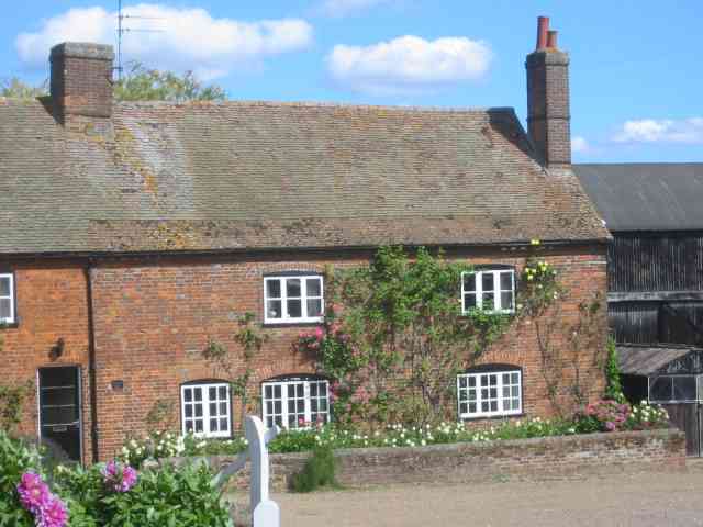
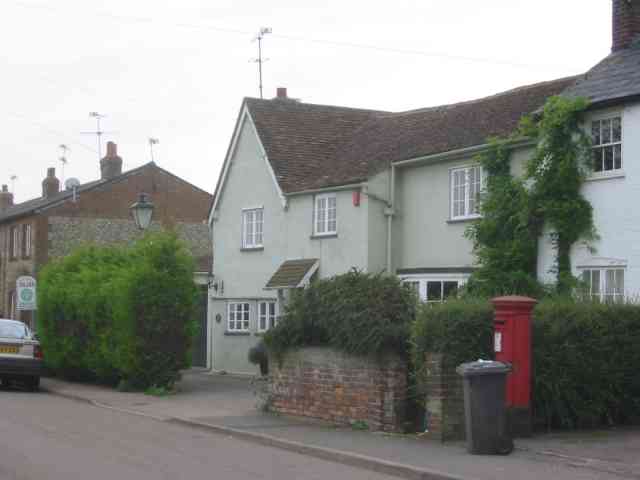
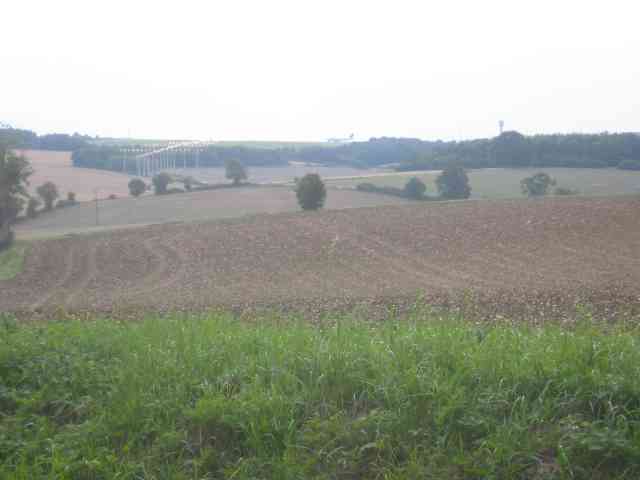
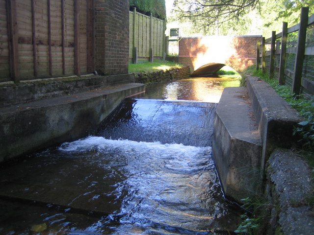
Whiteway Bottom is a picturesque valley located in the county of Hertfordshire, England. Situated on the outskirts of the village of Whiteway, the valley is known for its stunning natural beauty and tranquility. It is nestled between rolling hills and lush greenery, offering visitors a peaceful escape from the hustle and bustle of urban life.

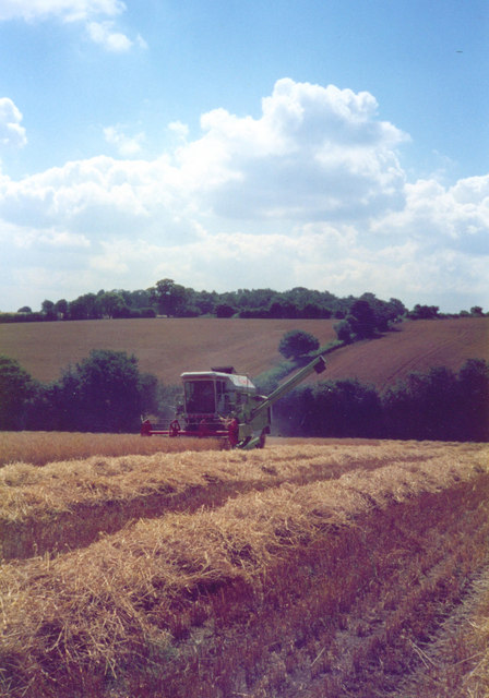
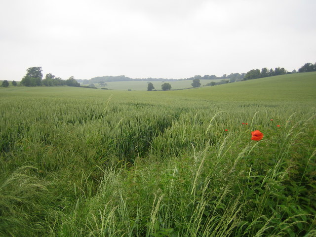
The valley is home to a diverse range of flora and fauna, with wildflowers dotting the landscape and an abundance of bird species inhabiting the area. It is a haven for nature enthusiasts, providing ample opportunities for hiking, birdwatching, and photography.

Whiteway Bottom is also rich in history, with archaeological evidence suggesting human habitation in the area dating back thousands of years. The valley has been a site of interest for archaeologists, who have discovered ancient artifacts and remains that shed light on the region's past.

Visitors to Whiteway Bottom can enjoy the tranquil surroundings and take in the breathtaking views from various vantage points along the valley. There are several walking trails that wind through the valley, offering visitors the chance to explore its natural wonders at their own pace.

The valley is easily accessible by car, with ample parking facilities available nearby. It is also well-connected by public transport, with regular bus services from the nearby town of Hertford.

Overall, Whiteway Bottom is a hidden gem in Hertfordshire, offering visitors a serene and scenic experience in the heart of nature. Whether it's for a leisurely stroll or to immerse oneself in the wildlife, the valley promises a memorable and rejuvenating visit.

If you have any feedback on the listing, please let us know in the comments section below.

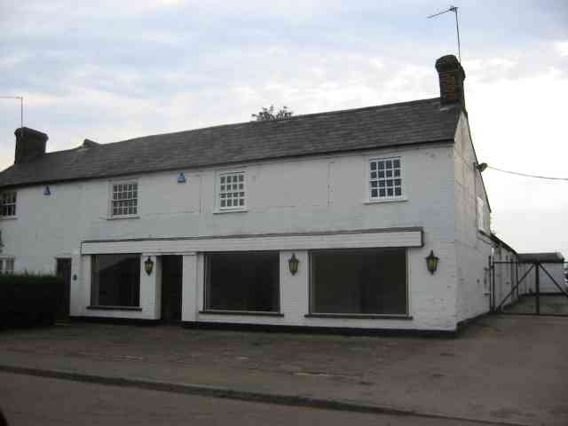
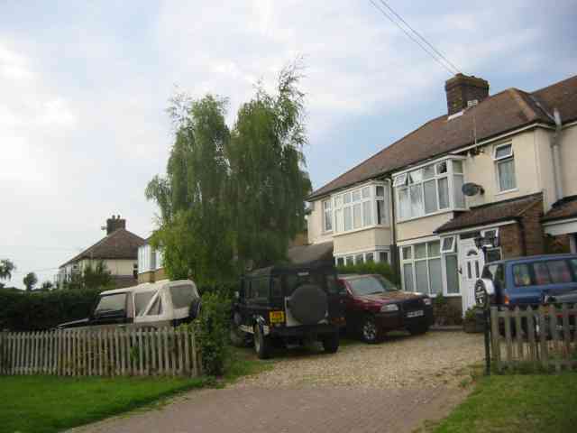
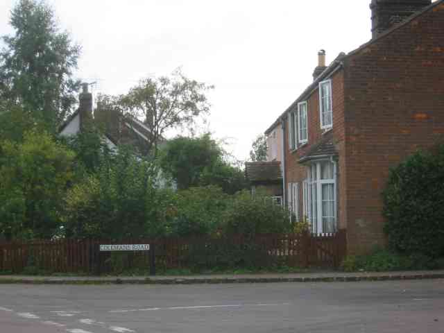
Whiteway Bottom Images

Images are sourced within 2km of 51.87418/-0.32423078 or Grid Reference TL1520. Thanks to Geograph Open Source API. All images are credited.

House in Ansells End Interesting that the bedroom windows have been renewed with larger panes {easier to clean}
House in Ansells End
Interesting that the bedroom windows have been renewed with larger panes {easier to clean}
Rudwick Hall, Peters Green
Harvest time at Rudwick Hall
Farmhouse at Barleybeans The house is in good repair;  the barns are rather neglected.
Farmhouse at Barleybeans
The house is in good repair; the barns are rather neglected.
Cockfosters Named "Cockfosters" on OS 25K map.
Cockfosters
Named "Cockfosters" on OS 25K map.
The Holt Farm & Livery Centre Holt Farm website - <span class="nowrap"><a title="http://www.holtfarm.co.uk/index.htm" rel="nofollow ugc noopener" href="http://www.holtfarm.co.uk/index.htm">Link</a><img style="margin-left:2px;" alt="External link" title="External link - shift click to open in new window" src="https://s1.geograph.org.uk/img/external.png" width="10" height="10"/></span>
The Holt Farm & Livery Centre
Holt Farm website - LinkExternal link
Ansells End: Whiteway Bottom A classic Chilterns chalk dry valley with endless fields of wheat. A few poppies are in flower at the edge of the field.
Ansells End: Whiteway Bottom
A classic Chilterns chalk dry valley with endless fields of wheat. A few poppies are in flower at the edge of the field.
Wandon Green Farm The farmhouse looks quite well kept.
Wandon Green Farm
The farmhouse looks quite well kept.
Wandon Green Farm The yard looks to be unused but that is simply a surmise. It was Sunday after all.
Wandon Green Farm
The yard looks to be unused but that is simply a surmise. It was Sunday after all.
Empty showrooms at Breachwood  Green Was this once a car sales emporium?
Yes it used to sell SAAB cars.
Empty showrooms at Breachwood Green
Was this once a car sales emporium? Yes it used to sell SAAB cars.
House next door to the showrooms House and showrooms <a title="https://www.geograph.org.uk/photo/47777" href="https://www.geograph.org.uk/photo/47777">Link</a> would seem to have a relationship of owner perhaps.
House next door to the showrooms
House and showrooms Link would seem to have a relationship of owner perhaps.
End of runway lights seen from Lye Hill Breachwood Green At least the planes are on the landing approach so are relatively quiet.
End of runway lights seen from Lye Hill Breachwood Green
At least the planes are on the landing approach so are relatively quiet.
Houses in Lye Hill  Breachwood Green These houses look as if they were once local authority owned before the right to purchase was introduced. They are right in line for the airport approach.
Houses in Lye Hill Breachwood Green
These houses look as if they were once local authority owned before the right to purchase was introduced. They are right in line for the airport approach.
Buildings at Winch Hill Farm The farmyard appears unused
Buildings at Winch Hill Farm
The farmyard appears unused
Houses in Colemans Road Breachwood Green These houses date from turn of the 19th century
Houses in Colemans Road Breachwood Green
These houses date from turn of the 19th century
Switchback A view across the valley towards Winch Hill House.   The road has a number of sharp corners and steep descents throughout its route between Dane Street and Darleyhall.
Switchback
A view across the valley towards Winch Hill House. The road has a number of sharp corners and steep descents throughout its route between Dane Street and Darleyhall.
Final Approach Luton Airport's landing lights stride east-northeast across open farmland.  An Easyjet Boeing 737 approaches to land under glowering clouds.
Final Approach
Luton Airport's landing lights stride east-northeast across open farmland. An Easyjet Boeing 737 approaches to land under glowering clouds.
Luton Localiser Localiser antenna array at Luton airport.  The array provides the horizontal component for the Instrument landing system, guiding approaching aircraft onto the runway centreline.   The gate on the right of the picture is for the airport crash tenders in the event that someone lands short of the runway.
Luton Localiser
Localiser antenna array at Luton airport. The array provides the horizontal component for the Instrument landing system, guiding approaching aircraft onto the runway centreline. The gate on the right of the picture is for the airport crash tenders in the event that someone lands short of the runway.
Show me another place!

Whiteway Bottom is located at Grid Ref: TL1520 (Lat: 51.87418, Lng: -0.32423078)

Administrative County: Hertfordshire

District: North Hertfordshire

Police Authority: Hertfordshire

What 3 Words

///audit.shorts.stump. Near Kimpton, Hertfordshire

Related Wikis

Bendish

Bendish is a hamlet located in the parish of St Paul's Walden in Hertfordshire. In the 18th century, Bendish was a small town. It is about 3 miles east...

King's Walden

King's Walden is a civil parish in the English county of Hertfordshire. The name includes an apostrophe, but this is often omitted. The main settlement...

Ansells End

Ansells End is a hamlet of four historic homes in Hertfordshire, England. The population of the hamlet at the 2011 Census was included in the civil parish...

Breachwood Green Mill, King's Walden

Breachwood Green Mill is a Grade II listed tower mill at King's Walden, Hertfordshire, England which has been converted to residential accommodation....

Chiltern Green

Chiltern Green is a hamlet located in Bedfordshire, England, next to the border with Hertfordshire. It is in the civil parish of Hyde. The settlement lent...

Whitwell, Hertfordshire

Whitwell is a village in the parish of St Paul's Walden about six miles south of Hitchin in Hertfordshire, England. Situated on a tableland, a spur of...
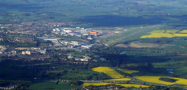
Luton Airport

London Luton Airport (IATA: LTN, ICAO: EGGW) is an international airport located in Luton, Bedfordshire, England, situated 1.7 miles (2.7 km) east of the...

Court Line Flight 95

Court Line Aviation Flight 95 was an international charter flight from London Luton Airport, Bedfordshire, England, to Munich-Riem Airport, West Germany...

Nearby Amenities

Located within 500m of 51.87418,-0.32423078
Odbl: clean
Lat/Long: 51.8743129/-0.3246312
Odbl: clean
Lat/Long: 51.8748199/-0.3238751
Odbl: clean
Lat/Long: 51.8754889/-0.3230704
Odbl: clean
Lat/Long: 51.8762175/-0.3221906
Odbl: clean
Lat/Long: 51.8766388/-0.3217678
Odbl: clean
Lat/Long: 51.8771713/-0.3213645
Odbl: clean
Lat/Long: 51.8774826/-0.3211821
Odbl: clean
Lat/Long: 51.8779197/-0.3209032
Odbl: clean
Lat/Long: 51.8744397/-0.3242912
Odbl: clean
Lat/Long: 51.8745616/-0.3240938
Odbl: clean
Lat/Long: 51.8726754/-0.3218847
Odbl: clean
Lat/Long: 51.8728768/-0.3215156
Odbl: clean
Lat/Long: 51.8732477/-0.3209663
Odbl: clean
Lat/Long: 51.8736293/-0.3205114
Odbl: clean
Lat/Long: 51.8739578/-0.3202024
Odbl: clean
Lat/Long: 51.8741857/-0.3199878
Odbl: clean
Lat/Long: 51.8741963/-0.3199106
Odbl: clean
Lat/Long: 51.8742016/-0.3197732
Odbl: clean
Lat/Long: 51.8743023/-0.3194986
Odbl: clean
Lat/Long: 51.8750971/-0.3183399
Odbl: clean
Lat/Long: 51.875733/-0.3174043
Odbl: clean
Lat/Long: 51.872554/-0.3219777
Odbl: clean
Lat/Long: 51.8761145/-0.3278327
Odbl: clean
Lat/Long: 51.8764214/-0.3284454
Odbl: clean
Lat/Long: 51.8763818/-0.3267367
Odbl: clean
Lat/Long: 51.8759452/-0.3274147
Odbl: clean
Lat/Long: 51.8755101/-0.3265272
Odbl: clean
Lat/Long: 51.8750897/-0.3257581
Odbl: clean
Lat/Long: 51.8746051/-0.3250434
Odbl: clean
Lat/Long: 51.8762364/-0.3280645
Odbl: clean
Lat/Long: 51.8757514/-0.3269603
Odbl: clean
Lat/Long: 51.8780804/-0.3207788
The data included in this document is from www.openstreetmap.org. The data is made available under ODbL.

Have you been to Whiteway Bottom?

Leave your review of Whiteway Bottom below (or comments, questions and feedback).