Ballingdon Bottom

Valley in Hertfordshire Dacorum

England

Ballingdon Bottom

Ledgemore Lane The narrow strip of woodland to the left is Hoo Belt.
Ledgemore Lane Credit: Robin Webster

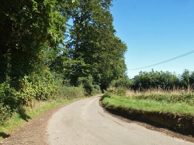
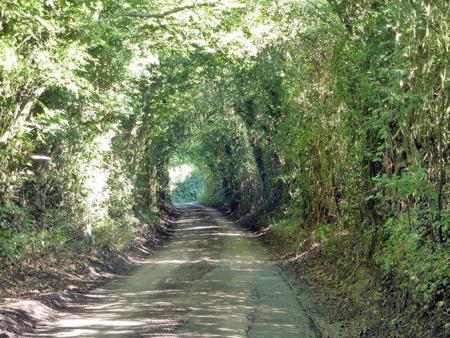
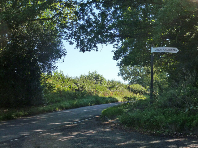
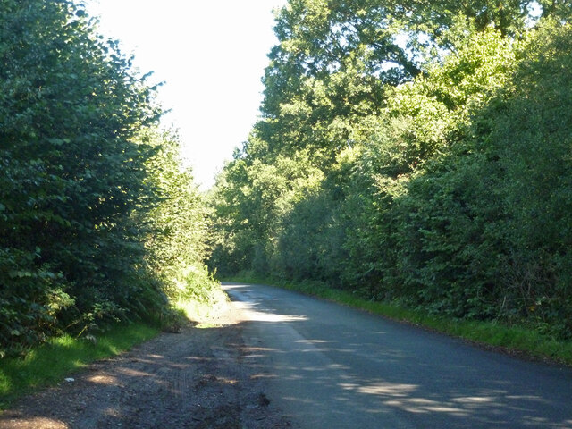
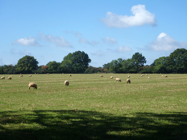
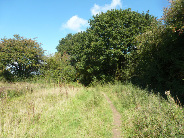
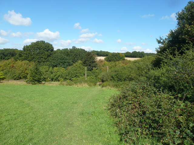
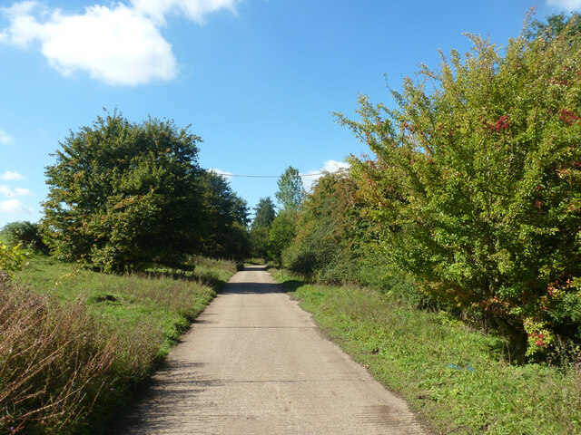
Ballingdon Bottom, located in Hertfordshire, is a picturesque valley surrounded by rolling hills and lush greenery. Situated in the eastern part of England, this tranquil area offers a tranquil escape from the hustle and bustle of city life. The valley is known for its natural beauty and rich biodiversity, attracting nature enthusiasts and hikers alike.

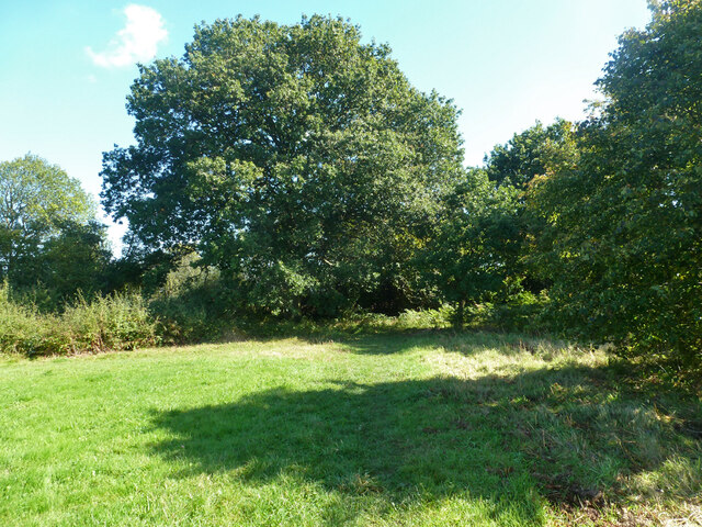
The landscape of Ballingdon Bottom is characterized by its gentle slopes and meandering streams. The valley is home to a variety of plant and animal species, creating a haven for wildlife. Visitors can expect to encounter an array of bird species, small mammals, and even rare plants that thrive in this unique environment.

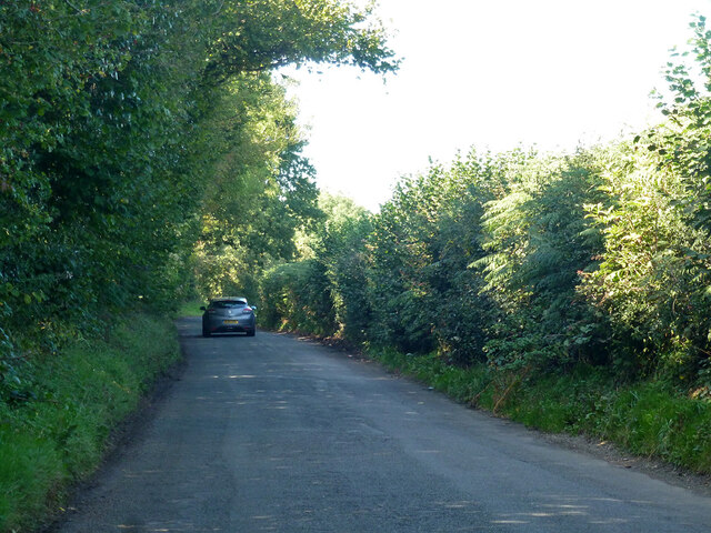
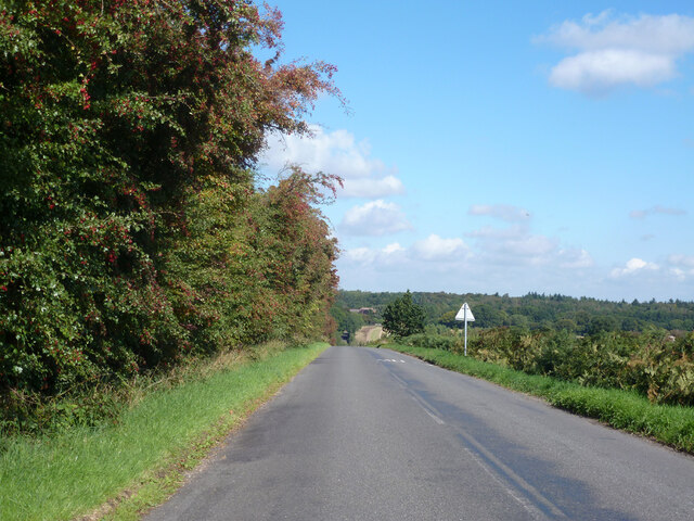
Walking trails and footpaths crisscross through the valley, providing ample opportunities for outdoor exploration and recreation. The scenic views from the elevated vantage points of the surrounding hills are truly breathtaking, offering panoramic vistas of the valley below.

For history enthusiasts, Ballingdon Bottom has a rich heritage. The valley is dotted with remnants of ancient settlements and archaeological sites, offering a glimpse into the past. These historical landmarks provide insight into the lives of the people who once inhabited this area.

Whether it's enjoying a peaceful walk, birdwatching, or simply taking in the beauty of the natural surroundings, Ballingdon Bottom offers a serene and rejuvenating experience for all who visit. With its idyllic setting and rich natural and historical offerings, it is no wonder that this Hertfordshire valley is a popular destination for both locals and tourists alike.

If you have any feedback on the listing, please let us know in the comments section below.

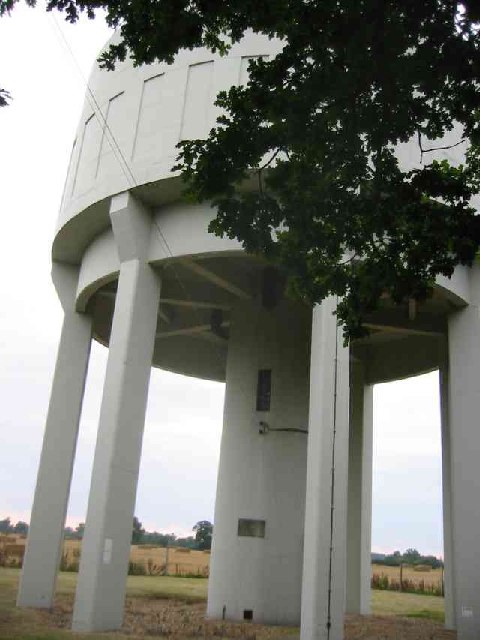
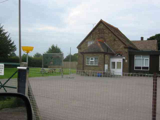
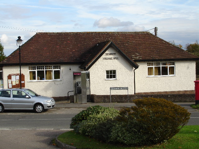
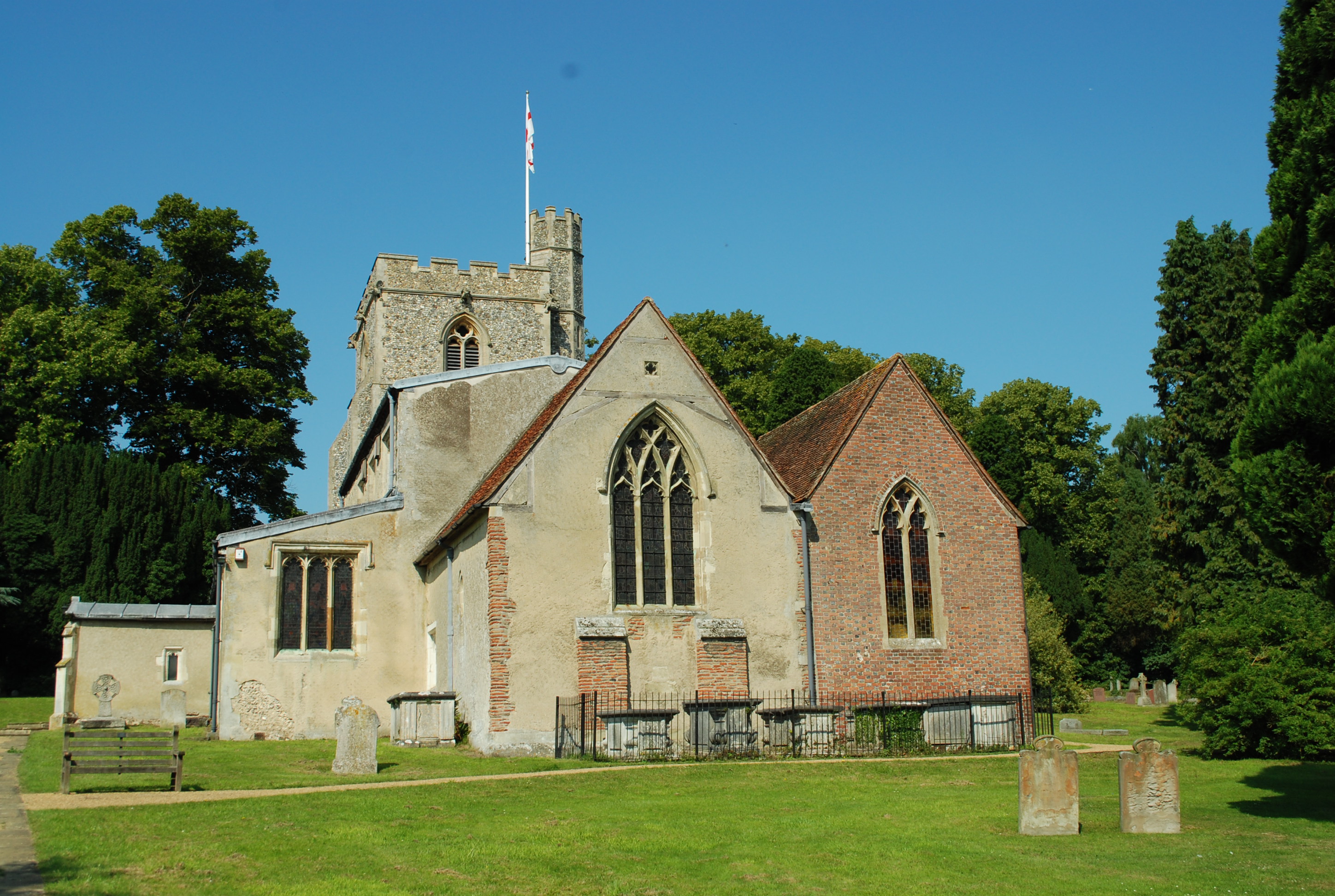
Ballingdon Bottom Images

Images are sourced within 2km of 51.815422/-0.49468765 or Grid Reference TL0314. Thanks to Geograph Open Source API. All images are credited.

Ledgemore Lane The narrow strip of woodland to the left is Hoo Belt.
Ledgemore Lane
The narrow strip of woodland to the left is Hoo Belt.
Ledgemore Lane Heading north.
Ledgemore Lane
Heading north.
Gaddesden Row at Ledgemore Lane junction
Beechwood Lane Towards Markyate or Flamstead.
Beechwood Lane
Towards Markyate or Flamstead.
Grazing sheep Fittingly a wood off to the left of this field is called Lamb's Spring.
Grazing sheep
Fittingly a wood off to the left of this field is called Lamb's Spring.
Clements End Road Towards Studham.
Clements End Road
Towards Studham.
Byslips Road Towards Dunstable.
Byslips Road
Towards Dunstable.
SE corner of Studham Common Public footpaths follow both margins of the common, which has public access anyway.
SE corner of Studham Common
Public footpaths follow both margins of the common, which has public access anyway.
Footpath towards Studham Common The SE corner of the common is beyond the hedge ahead.
Footpath towards Studham Common
The SE corner of the common is beyond the hedge ahead.
NE corner of Studham Common Public footpaths follow both margins of the open common, which has public access anyway.
NE corner of Studham Common
Public footpaths follow both margins of the open common, which has public access anyway.
Studham sewage works Plated on the gate as 'Studham STW  STUDS1ZZ' by Thames Water.
Studham sewage works
Plated on the gate as 'Studham STW STUDS1ZZ' by Thames Water.
Studham sewage works road The access route to Studham sewage works runs along the northern edge of the open part of Studham Common. To the right is a belt of densely wooded common land.
Studham sewage works road
The access route to Studham sewage works runs along the northern edge of the open part of Studham Common. To the right is a belt of densely wooded common land.
Lodge House at Gates  to Beechwood Park School The approach road is almost 3/4 kilometre long.
Lodge House at Gates to Beechwood Park School
The approach road is almost 3/4 kilometre long.
Beechwood Park School signboard. Just to confirm that it exists.
Beechwood Park School signboard.
Just to confirm that it exists.
Guides Hut Gaddesden Row This was one of the traditional tin churches before its change of use
Guides Hut Gaddesden Row
This was one of the traditional tin churches before its change of use
Montifiore School at Six Tunnels Farm Is it a school or a farm  quandary??
Montifiore School at Six Tunnels Farm
Is it a school or a farm quandary??
Water Tower at Gaddesden Row The tower is well cared for but the sign on the gate is covered with green algae. Just a wipe with a damp cloth is all it needs.
Water Tower at Gaddesden Row
The tower is well cared for but the sign on the gate is covered with green algae. Just a wipe with a damp cloth is all it needs.
Junior School at Gaddesden Row An ancient school still deemed OK for the small population.
Junior School at Gaddesden Row
An ancient school still deemed OK for the small population.
Show me another place!

Ballingdon Bottom is located at Grid Ref: TL0314 (Lat: 51.815422, Lng: -0.49468765)

Administrative County: Hertfordshire

District: Dacorum

Police Authority: Hertfordshire

What 3 Words

///tilts.hush.lizards. Near Markyate, Hertfordshire

Related Wikis

Ballingdon Bottom

Ballingdon Bottom is a valley in Hertfordshire, England. It forms part of the boundary between the civil parishes of Flamstead and Great Gaddesden....

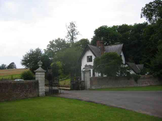
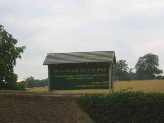
Beechwood Park (mansion)

Beechwood Park was a mansion, near Markyate, Hertfordshire, England. It now houses Beechwood Park School. == History == Ralph de Tony held this site, in...

The Hoo, Great Gaddesden

The Hoo is a Grade II* listed country house in Great Gaddesden, Hertfordshire, England. It dates from around 1683. In 1944 it was in use as a maternity...

Golden Parsonage

The Golden Parsonage is a Grade II* listed country house in Great Gaddesden, Hertfordshire, and is part of the Gaddesden Estate. The house remains in the...

Cheverells

Cheverells is a Grade II* listed dower house to the Beechwood Park estate in Hertfordshire, England. It dates from around 1693. == References ==

Studham

Studham is a village and civil parish in the county of Bedfordshire. It has a population of 1,182. The parish bounds to the south of the Buckinghamshire...

Great Gaddesden

Great Gaddesden is a village and civil parish in Dacorum Hundred in Hertfordshire, England. It is located in the Chiltern Hills, north of Hemel Hempstead...

Gaddesden Place

Gaddesden Place, near Hemel Hempstead in Hertfordshire, England, was designed by architect James Wyatt and built between 1768 and 1773, and was the home...

Nearby Amenities

Located within 500m of 51.815422,-0.49468765
Telephone
Defibrillator
Booth: KX300
Covered: booth
Defibrillator Location: inside old phone box on the green Gaddesden Row
Emergency: defibrillator
Man Made: telephone_box
Lat/Long: 51.8122747/-0.4928853
Post Box
Collection Times: Mo-Fr 17:00; Sa 09:00
Operator: Royal Mail
Post Box Type: lamp
Ref: HP2 140
Royal Cypher: EIIR
Royal Cypher Wikidata: Q33102113
Source: survey
Survey Date: 2015-08-16
Lat/Long: 51.812252/-0.4935677
Jockey End
Created By: Potlatch 0.8a
Place: hamlet
Source: Footpath Sign 3/4 mile to SE
Lat/Long: 51.8128495/-0.4925126
Barrier: stile
Lat/Long: 51.8129718/-0.4959384
Ballingdon Farm
Naptan AtcoCode: 210021405420
Naptan Bearing: SE
Naptan BusStopType: CUS
Naptan CommonName: Ballingdon Farm
Naptan Crossing: Dean Cottage
Naptan Indicator: opp
Naptan Landmark: Dean Cottage
Naptan NaptanCode: hrtdjgat
Naptan ShortCommonName: NA
Naptan Street: Clements End Road
Naptan Verified: no
Source: naptan_import
Lat/Long: 51.815446/-0.494677
Bus Stop
The Plough PH
Naptan AtcoCode: 210021405440
Naptan Bearing: SE
Naptan CommonName: The Plough PH
Naptan Crossing: opp Bradden Lane
Naptan Indicator: opp
Naptan Landmark: opp Bradden Lane
Naptan NaptanCode: hrtdjgaw
Naptan ShortCommonName: NA
Naptan Street: South Dene
Naptan Verified: no
Shelter: no
Source: naptan_import
Lat/Long: 51.8124476/-0.4925711
Bus Stop
The Plough PH
Local Ref: NR
Naptan AtcoCode: 210021407400
Naptan Bearing: N
Naptan CommonName: The Plough PH
Naptan Crossing: Bradden Lane
Naptan Indicator: nr
Naptan Landmark: Bradden Lane
Naptan NaptanCode: hrtdjawm
Naptan ShortCommonName: NA
Naptan Street: Clements End Road
Naptan Verified: no
Source: naptan_import
Lat/Long: 51.812751/-0.4930951
Ballingdon Farm
Local Ref: NR
Naptan AtcoCode: 210021407420
Naptan Bearing: NW
Naptan BusStopType: CUS
Naptan CommonName: Ballingdon Farm
Naptan Crossing: opp Dean Wood
Naptan Indicator: nr
Naptan Landmark: opp Dean Wood
Naptan NaptanCode: hrtdjawp
Naptan ShortCommonName: NA
Naptan Street: Clements End Road
Naptan Verified: no
Source: naptan_import
Lat/Long: 51.8151729/-0.4944104
Leisure: playground
Lat/Long: 51.8123914/-0.4906309
Ballingdon Bottom
Place: hamlet
Wikidata: Q4851747
Wikipedia: en:Ballingdon Bottom
Lat/Long: 51.8143325/-0.4960531
Power: pole
Lat/Long: 51.8113931/-0.4927744
Aeroway: helipad
Surface: concrete
Lat/Long: 51.8144153/-0.4973401
The data included in this document is from www.openstreetmap.org. The data is made available under ODbL.

Have you been to Ballingdon Bottom?

Leave your review of Ballingdon Bottom below (or comments, questions and feedback).