The Bottoms
Valley in Yorkshire
England
The Bottoms
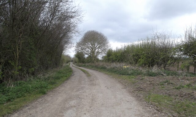
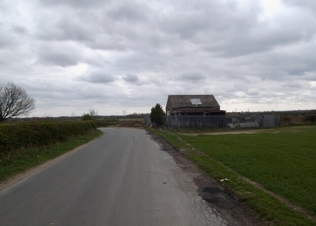
The Bottoms, Yorkshire (Valley), is a picturesque rural area located in the county of Yorkshire, England. Nestled in a valley between rolling hills and bordered by a meandering river, it is known for its stunning natural beauty and peaceful atmosphere.
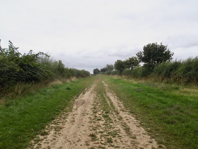
The landscape of The Bottoms is characterized by lush green fields, dotted with grazing sheep and cows, and surrounded by dense woodlands. The valley is particularly famous for its vibrant wildflower meadows, which bloom in a riot of colors during the spring and summer months, attracting a wide variety of insects and birds.
The area is also home to several charming villages and hamlets, where traditional stone cottages with thatched roofs can be found. These quaint settlements retain their old-world charm and offer a glimpse into Yorkshire's rich history and heritage.
The Bottoms is a haven for outdoor enthusiasts, offering a plethora of activities such as hiking, cycling, and fishing. There are numerous well-marked trails that crisscross the valley, leading visitors through breathtaking scenery and providing opportunities to spot local wildlife such as deer, rabbits, and various bird species.
For those seeking a taste of local culture, The Bottoms hosts several annual events and festivals, celebrating Yorkshire's traditions and customs. These lively gatherings often feature music, dance, and delicious local cuisine.
Overall, The Bottoms, Yorkshire (Valley) is a truly idyllic destination for nature lovers and those looking to escape the hustle and bustle of city life. It offers a peaceful retreat where visitors can immerse themselves in the beauty of the English countryside and experience the warmth and charm of Yorkshire's rural communities.
If you have any feedback on the listing, please let us know in the comments section below.
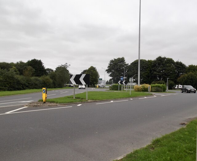
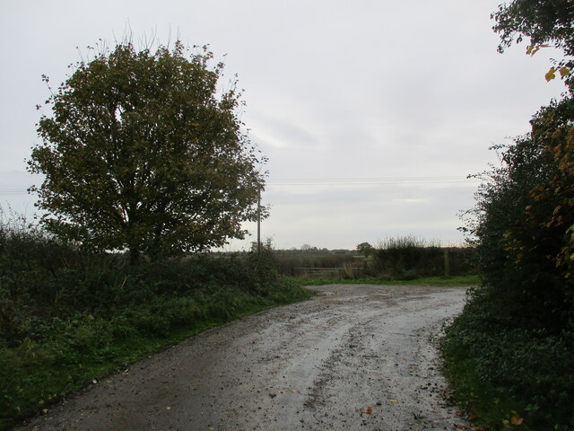
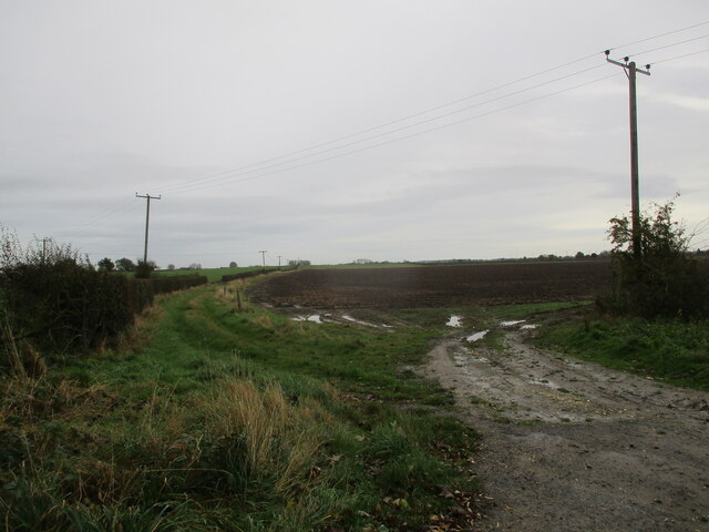
The Bottoms Images
Images are sourced within 2km of 53.996765/-0.41704012 or Grid Reference TA0356. Thanks to Geograph Open Source API. All images are credited.


The Bottoms is located at Grid Ref: TA0356 (Lat: 53.996765, Lng: -0.41704012)
Division: East Riding
Unitary Authority: East Riding of Yorkshire
Police Authority: Humberside
What 3 Words
///extent.sigh.goodness. Near Driffield, East Yorkshire
Nearby Locations
Related Wikis
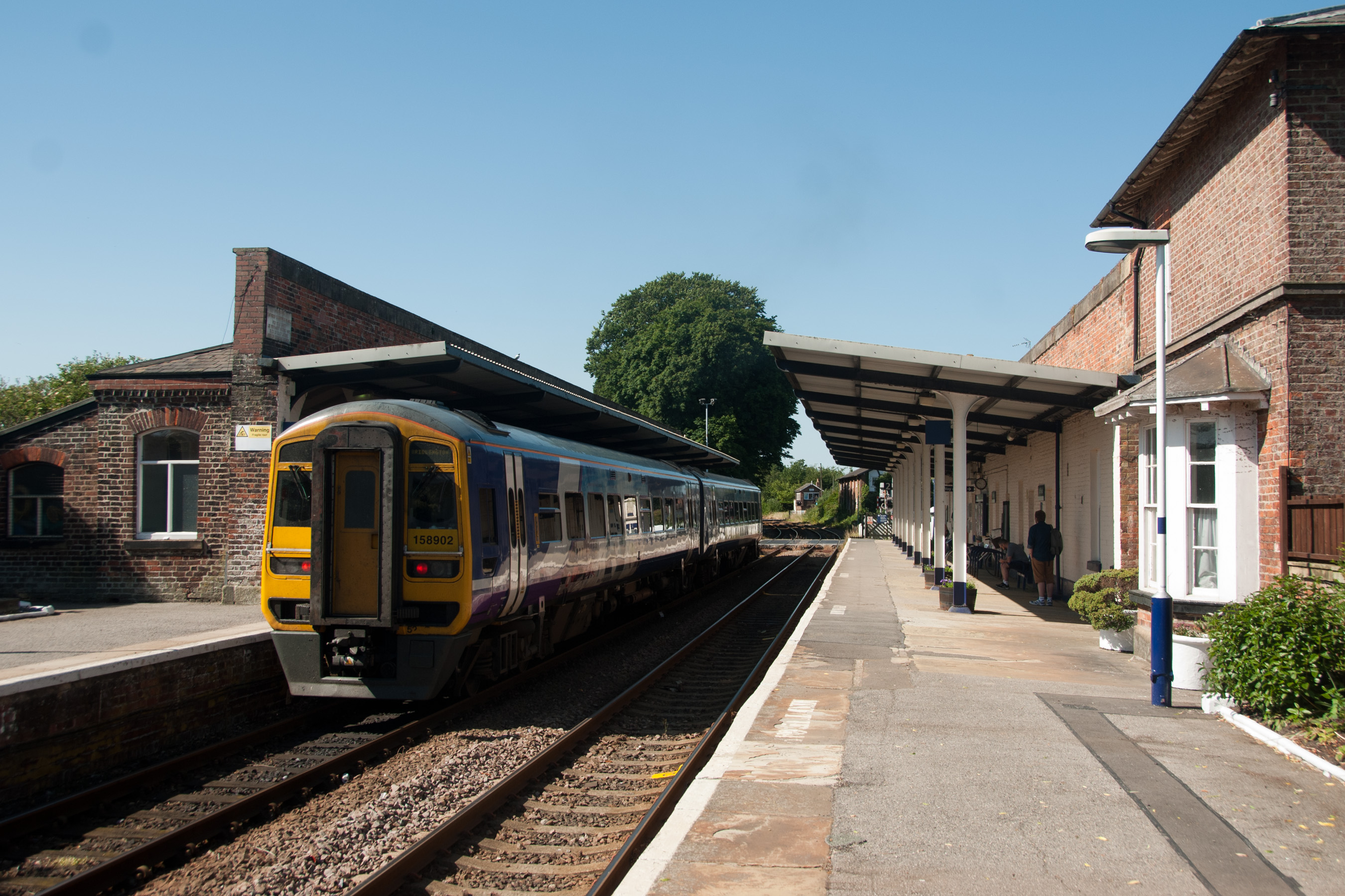
Driffield railway station
Driffield railway station serves the town of Driffield in the East Riding of Yorkshire, England. It is located on the Hull–Scarborough line and is operated...
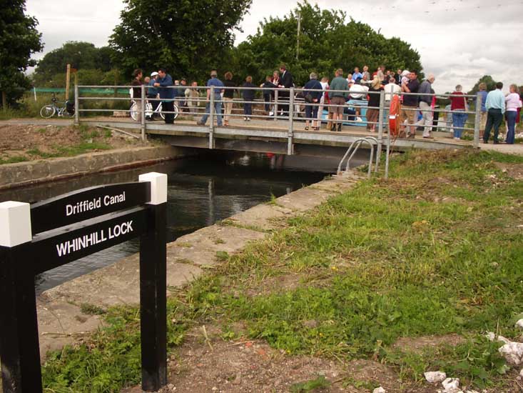
Whinhill Lock
Whinhill Lock was built as part of the Driffield Navigation in the East Riding of Yorkshire, England. It was originally opened in 1770, and was restored...

Driffield School
Driffield School & Sixth Form is a coeducational comprehensive school which is situated on Manorfield Road in Driffield, in the East Riding of Yorkshire...

Driffield
Driffield, also known as Great Driffield, (neighbouring Little Driffield) is a market town and civil parish in the East Riding of Yorkshire, England....
Nearby Amenities
Located within 500m of 53.996765,-0.41704012Have you been to The Bottoms?
Leave your review of The Bottoms below (or comments, questions and feedback).