Ballingdon Bottom
Settlement in Hertfordshire Dacorum
England
Ballingdon Bottom
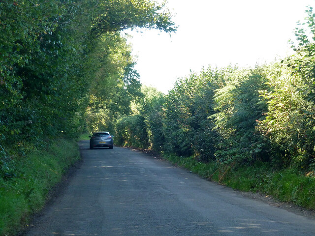
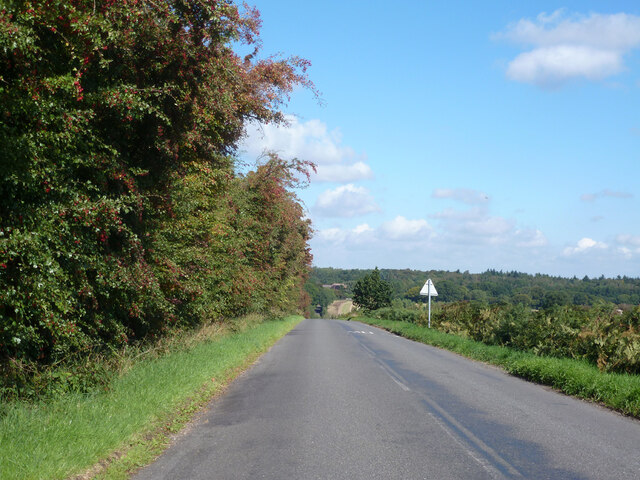
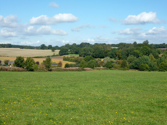
Ballingdon Bottom is a small village located in Hertfordshire, England. Situated in the eastern part of the county, it lies approximately 4 miles southeast of the town of Hitchin. The village is nestled in a scenic rural setting, surrounded by picturesque rolling hills and farmland.
Ballingdon Bottom has a rich history dating back centuries. The village is mentioned in the Domesday Book of 1086, where it is recorded as "Ballingedene." Over the years, it has evolved from a predominantly agricultural community into a residential area.
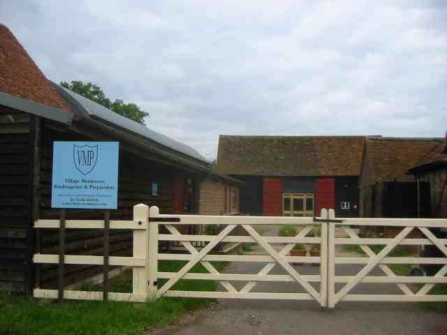
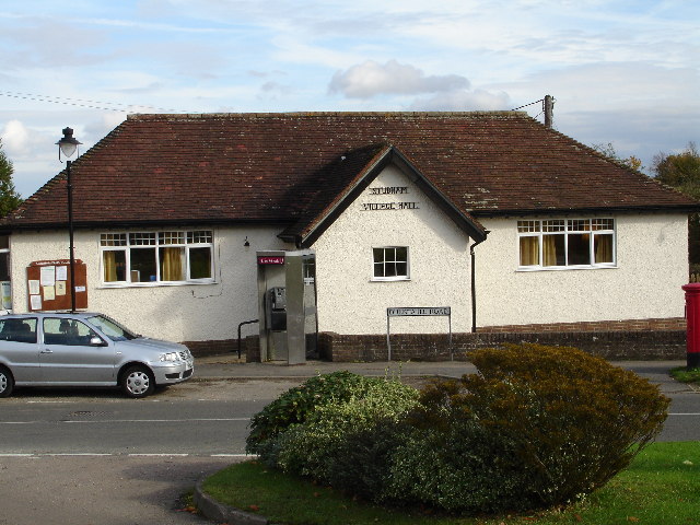
Despite its small size, Ballingdon Bottom offers a range of amenities to its residents. These include a village hall, where various community events and activities take place, as well as a local pub that serves as a social hub for the villagers. The village is also home to a primary school, providing education for the younger population.
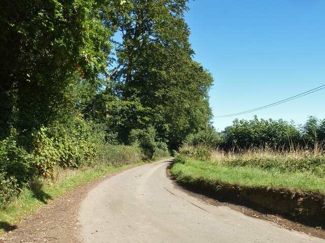
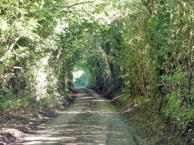
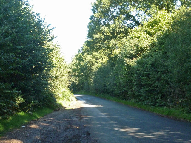
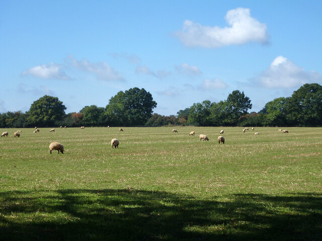
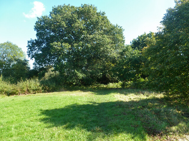
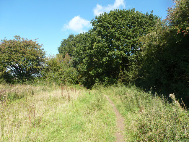
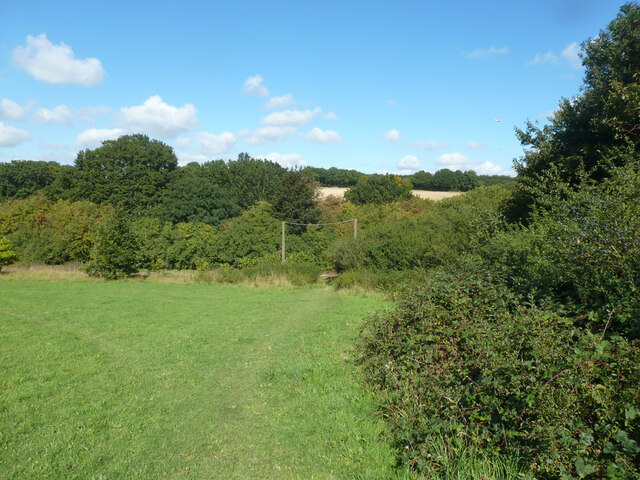
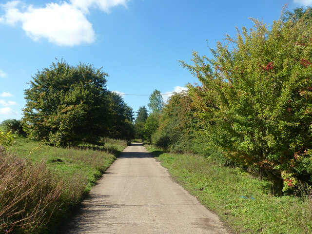
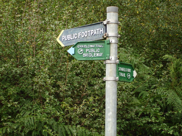
Nature lovers and outdoor enthusiasts are drawn to Ballingdon Bottom due to its scenic surroundings. The village is surrounded by beautiful countryside, offering opportunities for walking, cycling, and exploring the nearby nature reserves. The area is known for its diverse wildlife and offers a peaceful retreat from the hustle and bustle of nearby towns and cities.
While Ballingdon Bottom may be a quiet and tranquil village, its close proximity to larger towns and transport links ensures that residents have easy access to a wider range of amenities, shopping centers, and employment opportunities.
If you have any feedback on the listing, please let us know in the comments section below.
Ballingdon Bottom Images
Images are sourced within 2km of 51.815149/-0.5072022 or Grid Reference TL0314. Thanks to Geograph Open Source API. All images are credited.


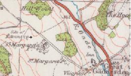
Ballingdon Bottom is located at Grid Ref: TL0314 (Lat: 51.815149, Lng: -0.5072022)
Administrative County: Hertfordshire
District: Dacorum
Police Authority: Hertfordshire
What 3 Words
///cookbooks.snows.shaky. Near Markyate, Hertfordshire
Nearby Locations
Related Wikis

Ballingdon Bottom
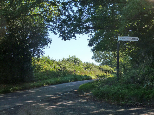
Ballingdon Bottom is a valley in Hertfordshire, England. It forms part of the boundary between the civil parishes of Flamstead and Great Gaddesden....

The Hoo, Great Gaddesden
The Hoo is a Grade II* listed country house in Great Gaddesden, Hertfordshire, England. It dates from around 1683. In 1944 it was in use as a maternity...

Beechwood Park (mansion)
Beechwood Park was a mansion, near Markyate, Hertfordshire, England. It now houses Beechwood Park School. == History == Ralph de Tony held this site, in...
Studham
Studham is a village and civil parish in the county of Bedfordshire. It has a population of 1,182. The parish bounds to the south of the Buckinghamshire...

Church of St Mary, Studham
Church of St Mary is a Grade I listed church in Studham, Bedfordshire, England. It became a listed building on 3 February 1967. == See also == Grade...

Golden Parsonage
The Golden Parsonage is a Grade II* listed country house in Great Gaddesden, Hertfordshire, and is part of the Gaddesden Estate. The house remains in the...
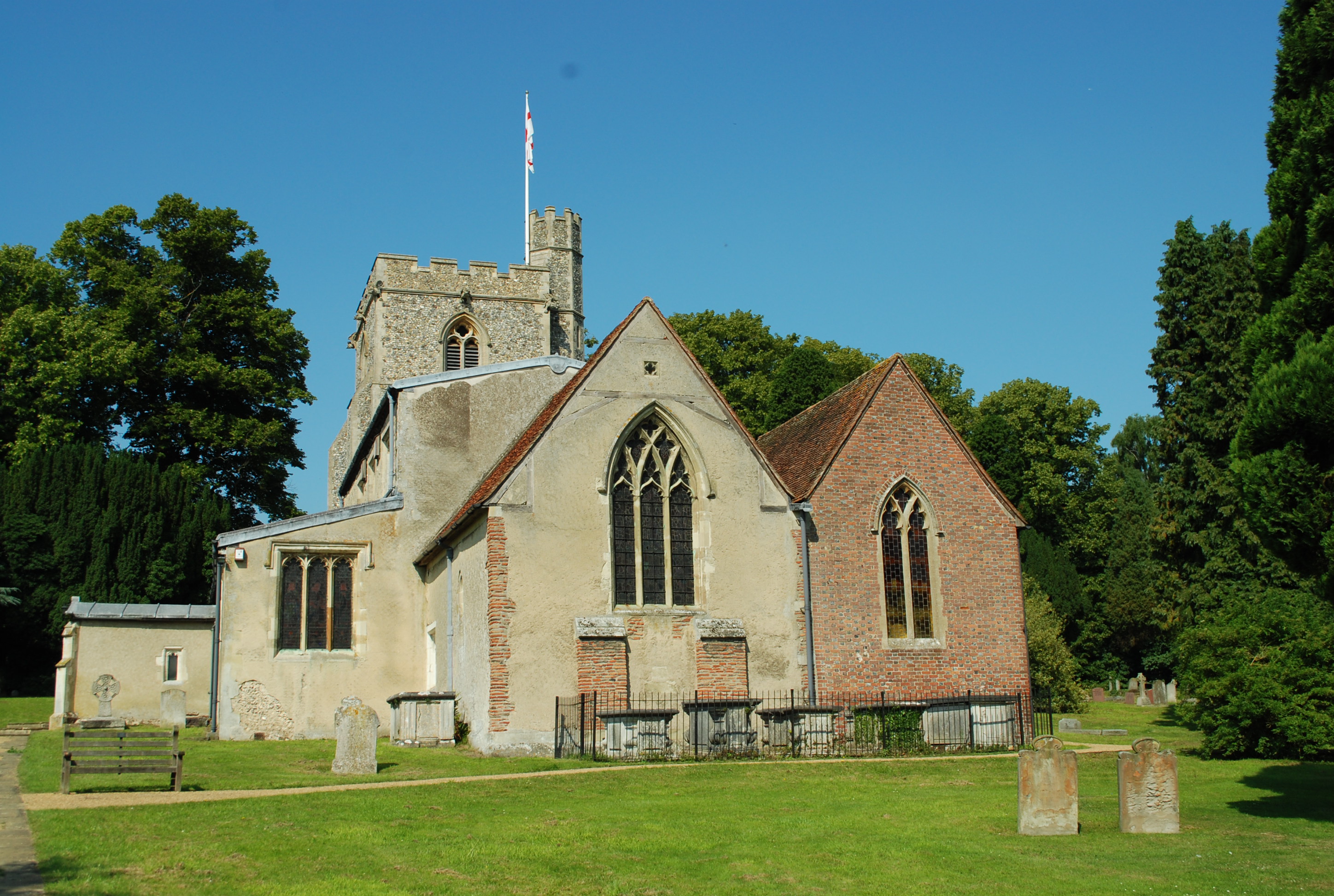
St Margaret's Convent, Hertfordshire
St Margaret's Convent was a convent of the Benedictine order near Great Gaddesden in Hertfordshire, England. Founded in 1160, it was abolished as a consequence...
Great Gaddesden
Great Gaddesden is a village and civil parish in Dacorum Hundred in Hertfordshire, England. It is located in the Chiltern Hills, north of Hemel Hempstead...
Nearby Amenities
Located within 500m of 51.815149,-0.5072022Have you been to Ballingdon Bottom?
Leave your review of Ballingdon Bottom below (or comments, questions and feedback).