Albury Bottom
Valley in Surrey Surrey Heath
England
Albury Bottom
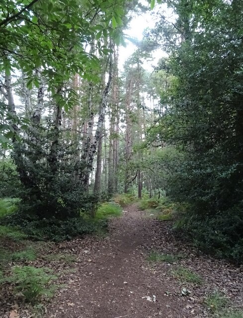
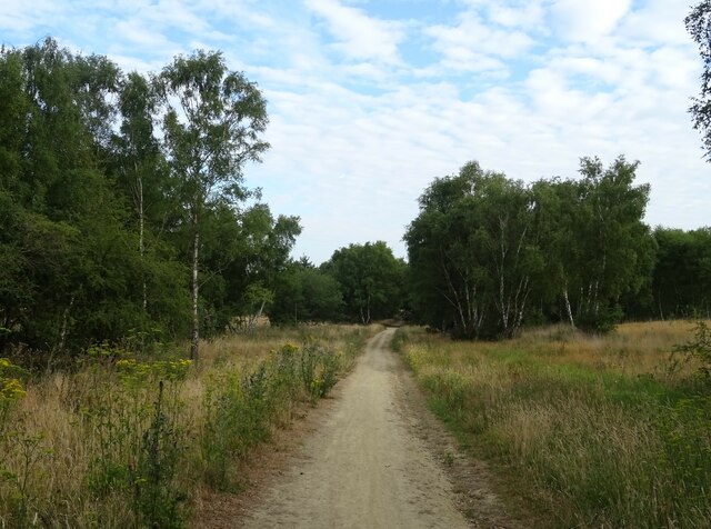
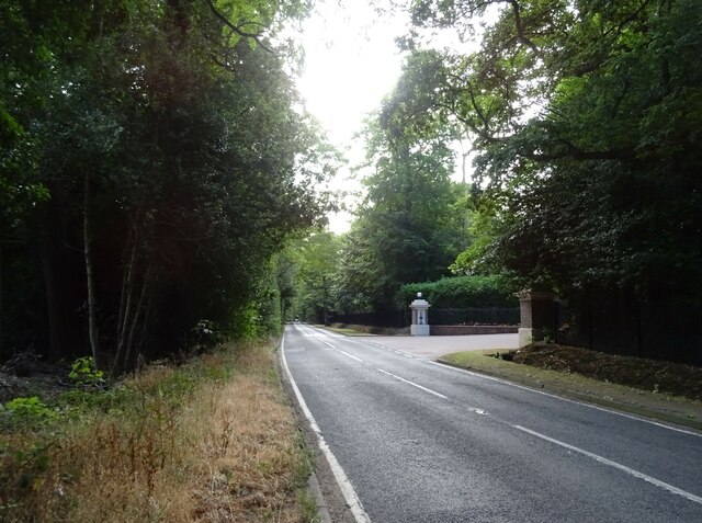
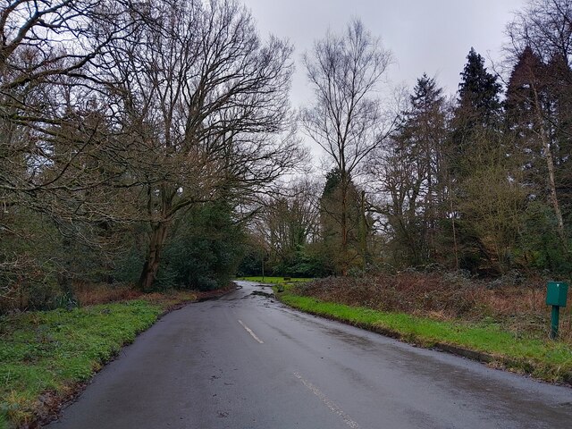
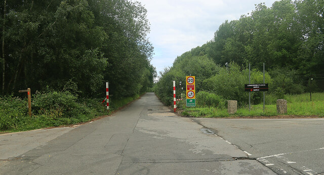
Albury Bottom, located in the county of Surrey, England, is a picturesque valley nestled within the Surrey Hills Area of Outstanding Natural Beauty. Situated near the village of Albury, the valley is renowned for its stunning natural scenery and tranquil atmosphere.
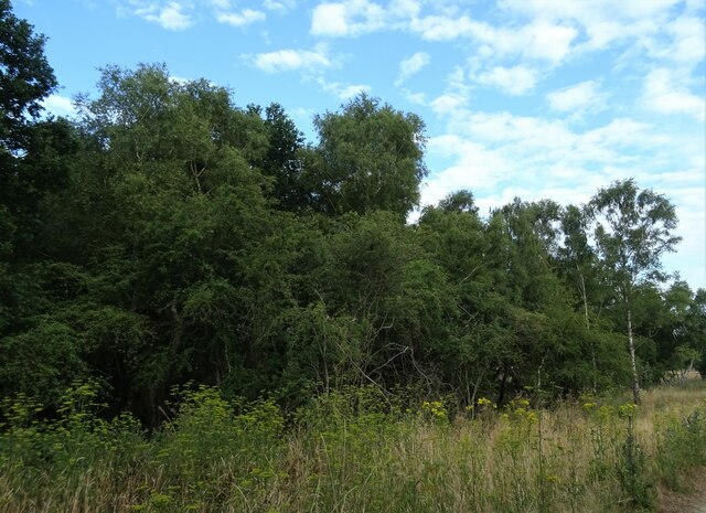
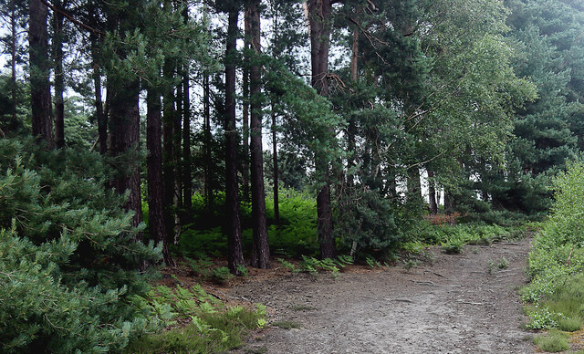
The valley boasts a diverse range of flora and fauna, with an abundance of ancient woodland, wildflower meadows, and crystal-clear streams. It is home to a variety of wildlife, including deer, badgers, and a wide array of bird species, making it a popular destination for nature enthusiasts and avid birdwatchers.
Albury Bottom also holds historical significance, with evidence of human habitation dating back thousands of years. Archaeological discoveries in the area have revealed remnants of ancient settlements, including Iron Age hill forts and Roman artifacts. These remnants provide a glimpse into the valley's rich heritage and offer opportunities for historical exploration.
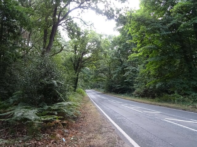
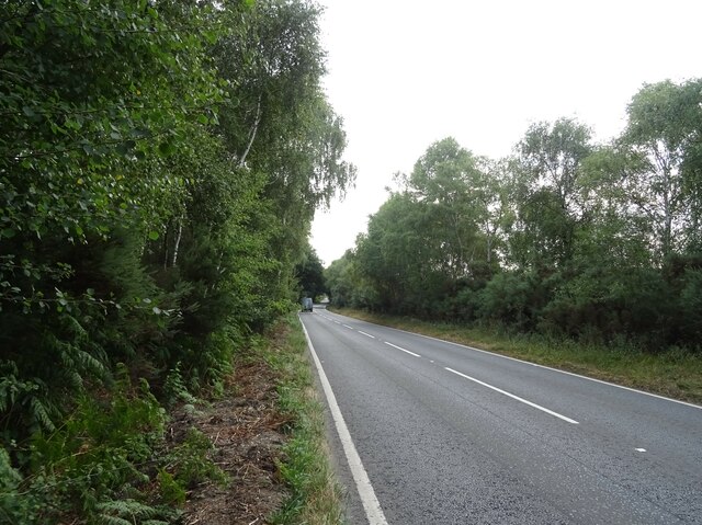
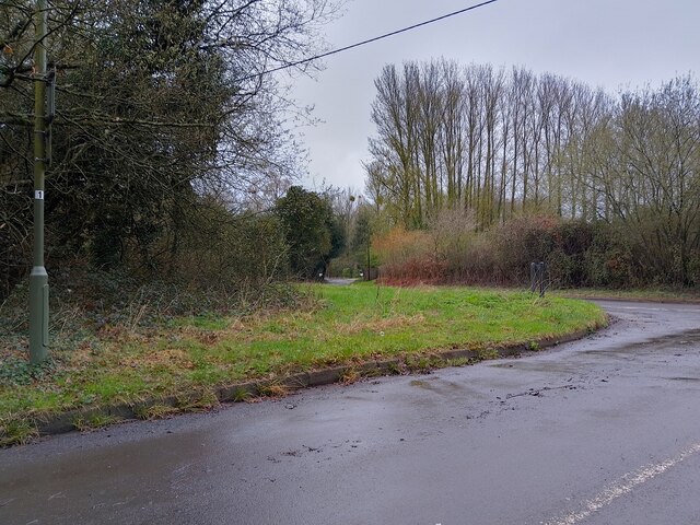
The valley is a haven for outdoor activities, attracting visitors with its extensive network of walking trails and cycling routes. One of the most popular trails is the North Downs Way, which passes through Albury Bottom, offering breathtaking views of the surrounding countryside.
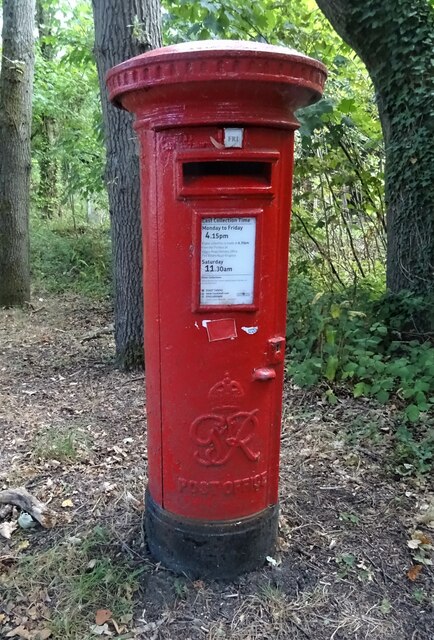
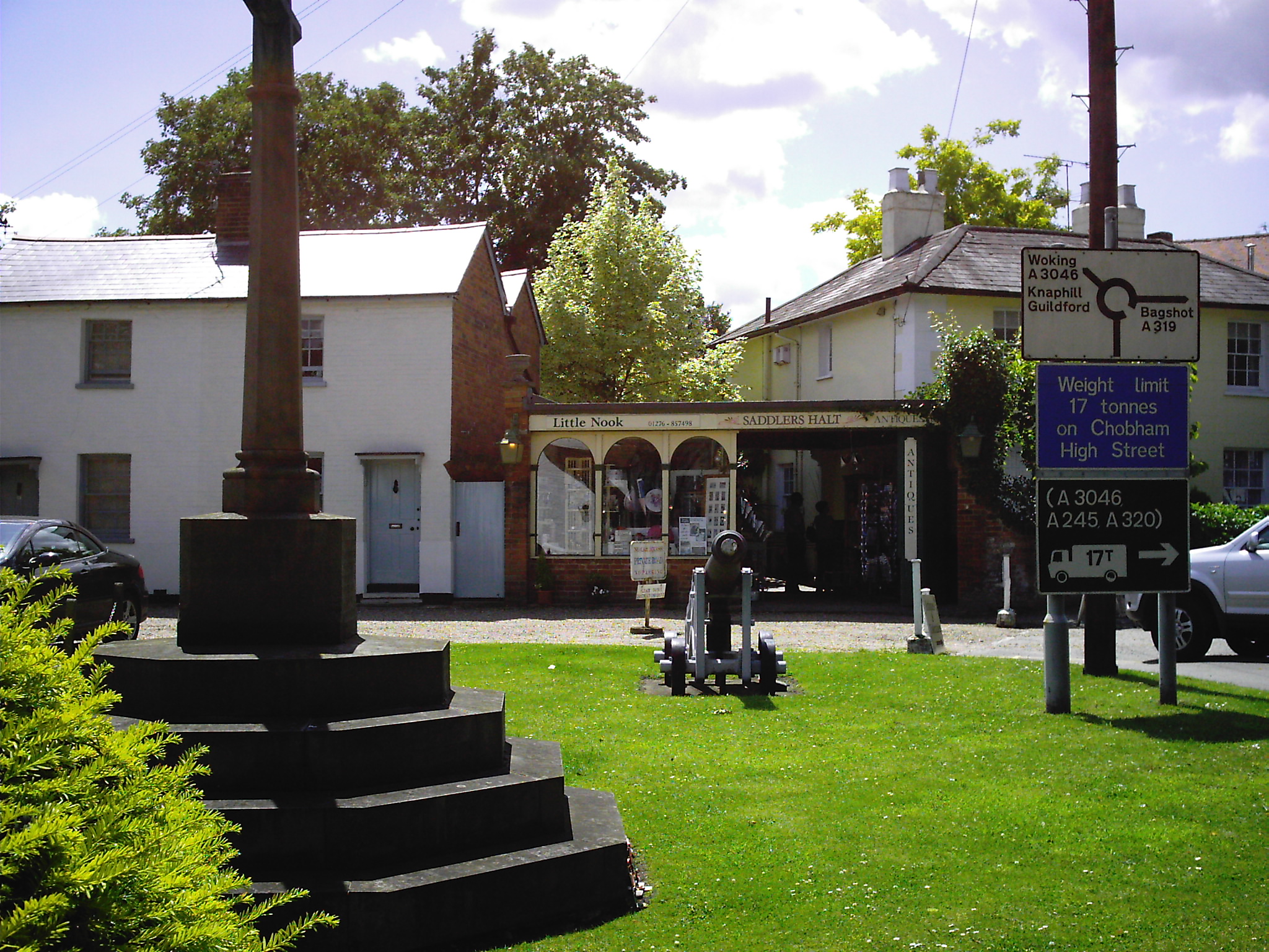
In terms of amenities, Albury Bottom is relatively secluded, with limited facilities available. However, the nearby village of Albury provides basic amenities, such as a village shop and a traditional pub, allowing visitors to stock up on supplies or enjoy a meal after a day of exploration.
Overall, Albury Bottom in Surrey is a serene and picturesque valley, offering a perfect blend of natural beauty, historical significance, and outdoor recreational opportunities.
If you have any feedback on the listing, please let us know in the comments section below.
Albury Bottom Images
Images are sourced within 2km of 51.369626/-0.59850818 or Grid Reference SU9764. Thanks to Geograph Open Source API. All images are credited.
Albury Bottom is located at Grid Ref: SU9764 (Lat: 51.369626, Lng: -0.59850818)
Administrative County: Surrey
District: Surrey Heath
Police Authority: Surrey
What 3 Words
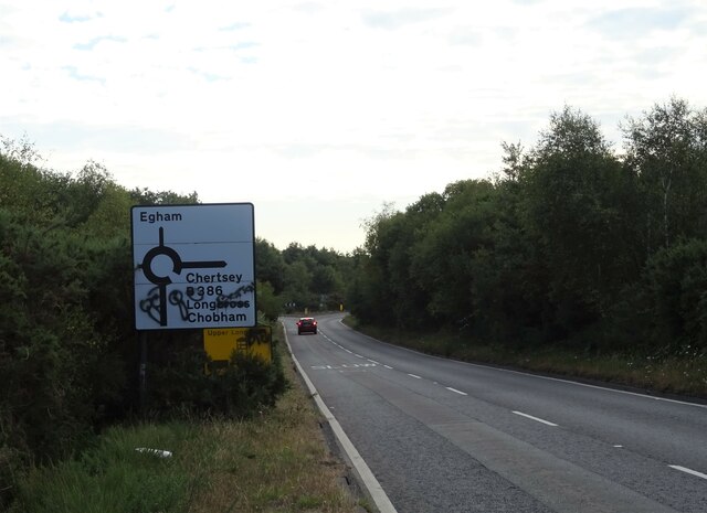
///become.cakes.mass. Near Chobham, Surrey
Nearby Locations
Related Wikis

Chobham Common
Chobham Common is a 655.7-hectare (1,620-acre) biological Site of Special Scientific Interest north of Chobham in Surrey. It is a Nature Conservation...

Gracious Pond
Gracious Pond is a 14-hectare (35-acre) nature reserve in Chobham in Surrey. It is managed by the Surrey Wildlife Trust. It is part of Chobham Common...

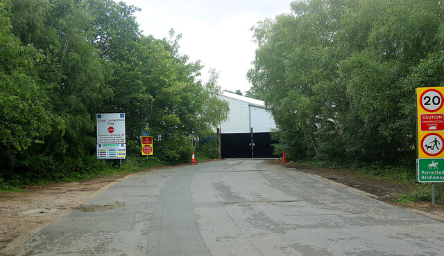
Longcross
Longcross is a village in the Borough of Runnymede in Surrey, England, approximately 34.6 kilometres (21.5 mi) west of central London. Its name is thought...
Military Vehicles and Engineering Establishment
The Military Vehicles and Engineering Establishment (MVEE) was a British defence research unit on Chobham Lane, Chertsey in Surrey. It was responsible...
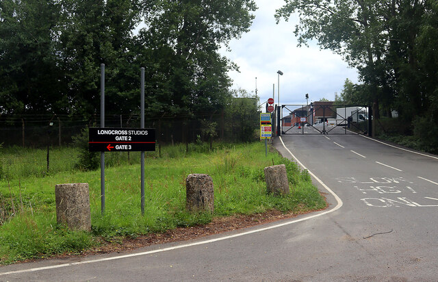
Longcross Studios
Longcross Film Studios is a film and television production facility in Longcross, Surrey, approximately 25 miles (40 km) west of central London. Built...

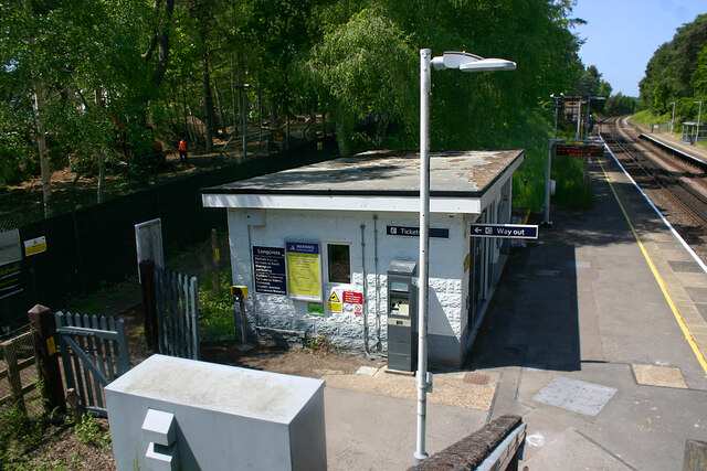
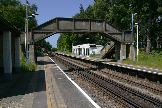
Longcross railway station
Longcross railway station is next to Longcross Garden Village (Upper Longcross) in Surrey, England. It straddles the former parishes of Virginia Water...
Chobham
Chobham is a village and civil parish in the Borough of Surrey Heath in Surrey, England. The village has a small high street area, specialising in traditional...
2015 Senior Open Championship
The 2015 Senior Open Championship was a senior major golf championship and the 29th Senior Open Championship, held on 22–25 July at Sunningdale Golf Club...
Nearby Amenities
Located within 500m of 51.369626,-0.59850818Have you been to Albury Bottom?
Leave your review of Albury Bottom below (or comments, questions and feedback).