Drakewell Dale
Valley in Lincolnshire North Kesteven
England
Drakewell Dale

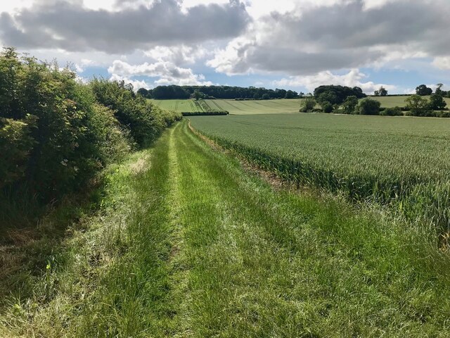
Drakewell Dale is a picturesque valley located in the county of Lincolnshire, England. Nestled within the Lincolnshire Wolds, an Area of Outstanding Natural Beauty, this charming dale offers visitors a tranquil and idyllic escape from the bustle of urban life.
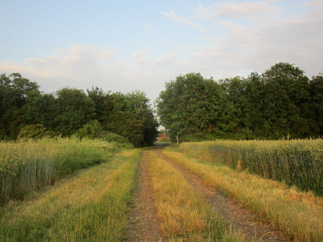
Known for its lush green landscapes and rolling hills, Drakewell Dale is a haven for nature enthusiasts and outdoor lovers. The valley is crisscrossed by meandering footpaths and bridleways, making it a popular destination for hikers, cyclists, and horse riders. The well-maintained trails provide stunning views of the surrounding countryside, dotted with patches of colorful wildflowers and ancient woodland.
The dale is home to a diverse range of wildlife, including various species of birds, mammals, and butterflies. Visitors may spot rabbits, hares, and even the occasional deer while exploring the area. Birdwatchers can delight in observing common species such as skylarks, barn owls, and yellowhammers, as well as rarer sightings like peregrine falcons and red kites.
At the heart of Drakewell Dale lies a small stream, which meanders through the valley, adding to its serenity. The stream is home to a variety of aquatic life, including small fish, frogs, and water insects. The babbling of the water provides a soothing soundtrack as visitors relax and enjoy the peaceful ambiance.
Drakewell Dale is also rich in history and heritage, with several ancient archaeological sites scattered throughout the valley. These include burial mounds and remnants of Iron Age settlements, offering a fascinating glimpse into the area's past.
In conclusion, Drakewell Dale is a stunning valley in Lincolnshire, offering a combination of natural beauty, diverse wildlife, and historical intrigue. Whether seeking a peaceful stroll, an active adventure, or a chance to connect with nature, Drakewell Dale has something to offer to all who visit.
If you have any feedback on the listing, please let us know in the comments section below.
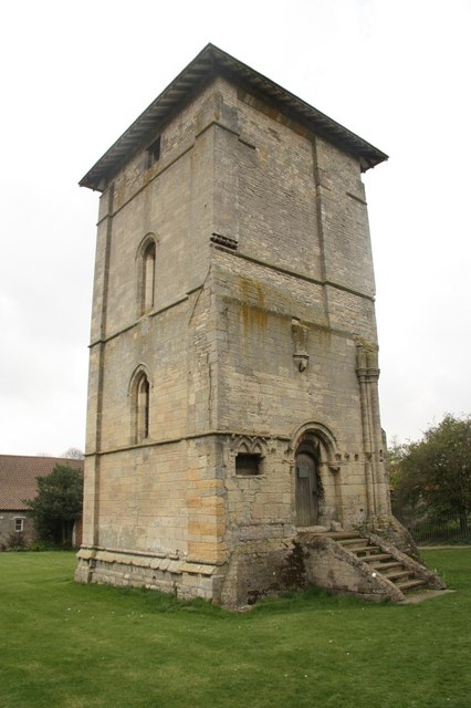
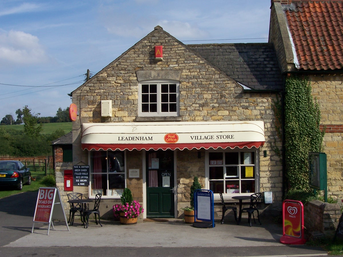
Drakewell Dale Images
Images are sourced within 2km of 53.078088/-0.54218704 or Grid Reference SK9754. Thanks to Geograph Open Source API. All images are credited.


Drakewell Dale is located at Grid Ref: SK9754 (Lat: 53.078088, Lng: -0.54218704)
Administrative County: Lincolnshire
District: North Kesteven
Police Authority: Lincolnshire
What 3 Words
///flats.refreshed.readily. Near Navenby, Lincolnshire
Nearby Locations
Related Wikis

Welbourn
Welbourn is a village and civil parish in the North Kesteven district of Lincolnshire, England. The population of the civil parish at the 2011 census was...
RAF Wellingore
Royal Air Force Wellingore or more simply RAF Wellingore is a former Royal Air Force fighter relief landing ground located 1.9 miles (3.1 km) south of...

Sir William Robertson Academy
Sir William Robertson Academy (formerly Sir William Robertson High School) is a coeducational secondary school of around 1000 pupils, situated in Welbourn...

Wellingore
Wellingore is a village and civil parish in the North Kesteven district of Lincolnshire, England. The population of the civil parish at the 2011 census...
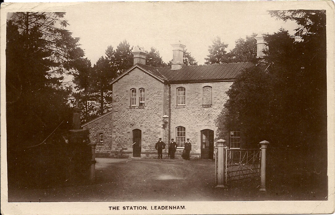
Leadenham railway station
Leadenham railway station was a railway station in Leadenham, Lincolnshire. It closed on 1 November 1965. The station was located on Main Road, being built...
Temple Bruer Preceptory
Temple Bruer Preceptory is a historic building in the civil parish of Temple Bruer with Temple High Grange, North Kesteven, Lincolnshire, England. It...
Temple Bruer with Temple High Grange
Temple Bruer with Temple High Grange is a civil parish and a former extra-parochial area in North Kesteven, Lincolnshire, England which had in the Medieval...
Leadenham
Leadenham is a village and civil parish in North Kesteven district of Lincolnshire, England. The population of the civil parish at the 2011 census was...
Nearby Amenities
Located within 500m of 53.078088,-0.54218704Have you been to Drakewell Dale?
Leave your review of Drakewell Dale below (or comments, questions and feedback).