Staple Hill
Hill, Mountain in Surrey Surrey Heath
England
Staple Hill
Staple Hill is a small hill located in the county of Surrey, England. Situated within the Surrey Hills Area of Outstanding Natural Beauty, it offers breathtaking views of the surrounding countryside. Despite its name, Staple Hill is not particularly steep or challenging, but rather provides a gentle incline that makes it accessible to people of all ages and fitness levels.
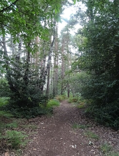
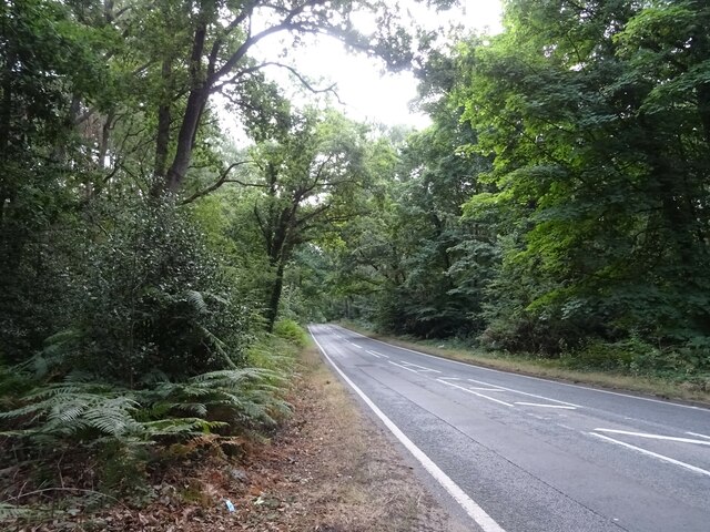
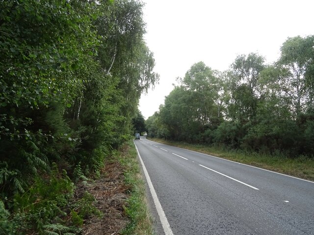
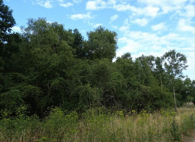
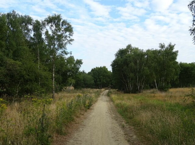
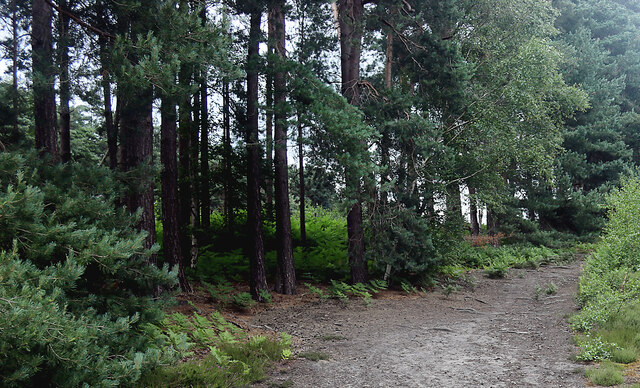
Covered in lush greenery, the hill is home to a variety of plant and animal species, making it a popular spot for nature enthusiasts and hikers. The terrain consists mainly of grassy slopes and woodland areas, with well-maintained footpaths that allow visitors to explore the hill at their own pace.
At the summit of Staple Hill, visitors are rewarded with panoramic views of the surrounding Surrey Hills and the picturesque countryside beyond. On a clear day, it is possible to see for miles, with landmarks such as Leith Hill, Box Hill, and the North Downs all visible from this vantage point.
In addition to its natural beauty, Staple Hill also boasts historical significance. It is believed to have been used as a lookout point during the Roman era, providing strategic views across the landscape. Today, remnants of an ancient earthwork can still be seen on the hill, serving as a reminder of its past.
Overall, Staple Hill is a tranquil and scenic location that offers a peaceful escape from the hustle and bustle of everyday life. Whether you are seeking a leisurely stroll, a challenging hike, or simply a place to enjoy nature, this hill in Surrey provides a delightful experience for all who visit.
If you have any feedback on the listing, please let us know in the comments section below.
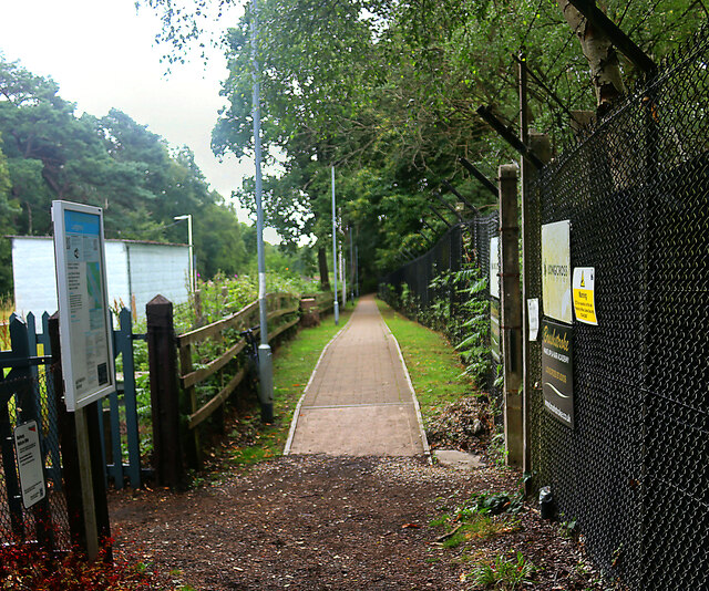
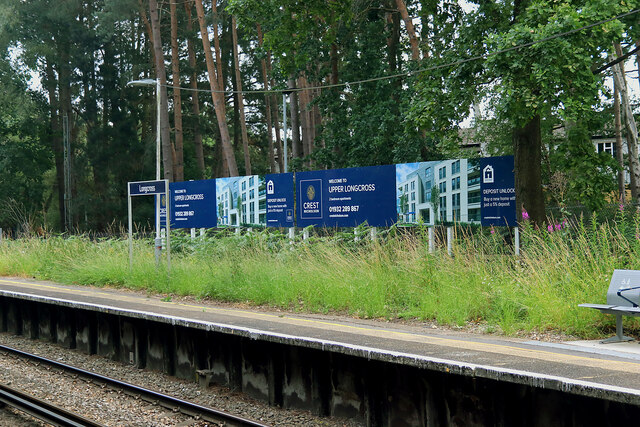
Staple Hill Images
Images are sourced within 2km of 51.37368/-0.6044618 or Grid Reference SU9764. Thanks to Geograph Open Source API. All images are credited.
Staple Hill is located at Grid Ref: SU9764 (Lat: 51.37368, Lng: -0.6044618)
Administrative County: Surrey
District: Surrey Heath
Police Authority: Surrey
What 3 Words
///relax.speeds.hangs. Near Chobham, Surrey
Nearby Locations
Related Wikis

Chobham Common
Chobham Common is a 655.7-hectare (1,620-acre) biological Site of Special Scientific Interest north of Chobham in Surrey. It is a Nature Conservation...

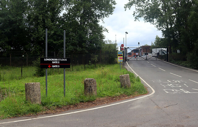
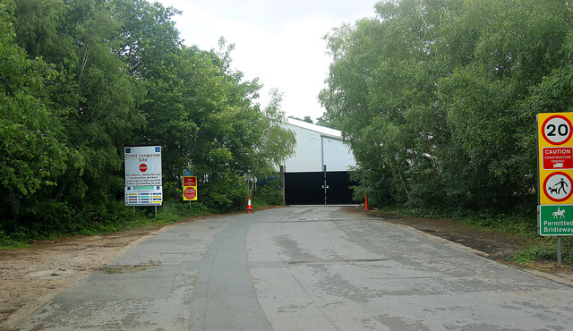
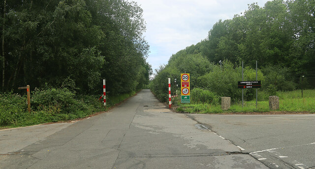
Longcross Studios
Longcross Film Studios is a film and television production facility in Longcross, Surrey, approximately 25 miles (40 km) west of central London. Built...
Military Vehicles and Engineering Establishment
The Military Vehicles and Engineering Establishment (MVEE) was a British defence research unit on Chobham Lane, Chertsey in Surrey. It was responsible...

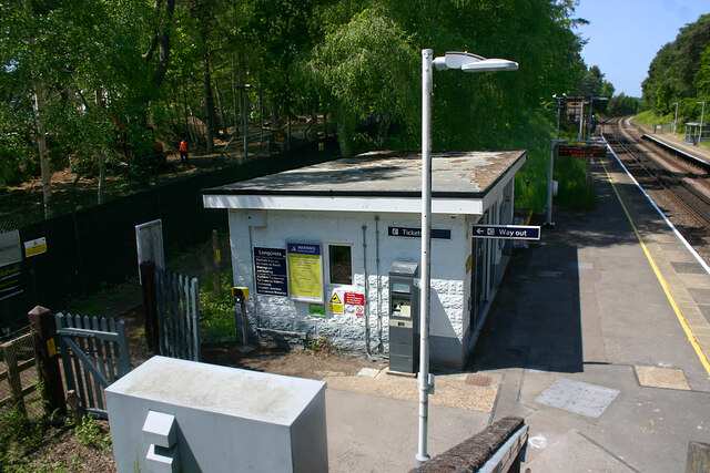
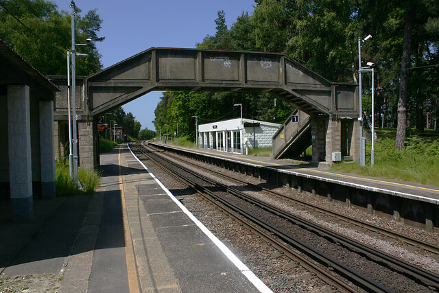
Longcross railway station
Longcross railway station is next to Longcross Garden Village (Upper Longcross) in Surrey, England. It straddles the former parishes of Virginia Water...
Longcross
Longcross is a village in the Borough of Runnymede in Surrey, England, approximately 34.6 kilometres (21.5 mi) west of central London. Its name is thought...

Gracious Pond
Gracious Pond is a 14-hectare (35-acre) nature reserve in Chobham in Surrey. It is managed by the Surrey Wildlife Trust. It is part of Chobham Common...
2015 Senior Open Championship
The 2015 Senior Open Championship was a senior major golf championship and the 29th Senior Open Championship, held on 22–25 July at Sunningdale Golf Club...
2016 Senior Open Championship
The 2016 Senior Open Championship was a senior major golf championship and the 30th Senior Open Championship, held on 21–24 July at Carnoustie Golf Links...
Nearby Amenities
Located within 500m of 51.37368,-0.6044618Have you been to Staple Hill?
Leave your review of Staple Hill below (or comments, questions and feedback).