Cowlam Well Dale
Valley in Yorkshire
England
Cowlam Well Dale
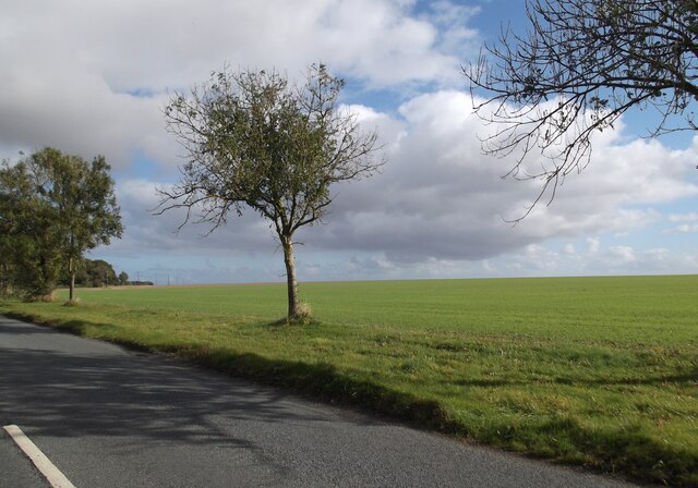
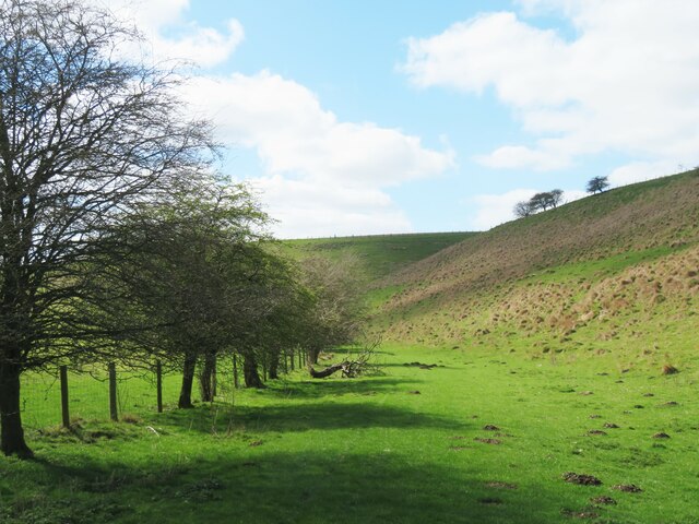
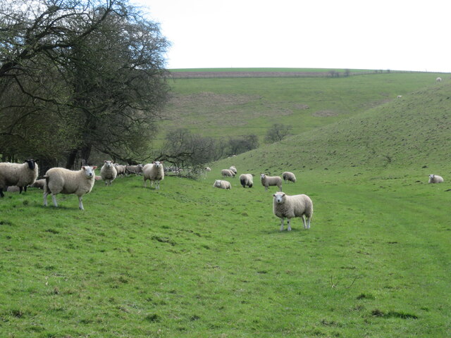
Cowlam Well Dale is a picturesque valley located in the Yorkshire Wolds, in the East Riding of Yorkshire, England. The valley is characterized by its rolling hills, lush green fields, and meandering streams, making it a popular destination for hikers and nature enthusiasts.
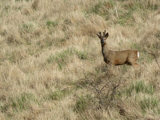
The valley is home to a variety of wildlife, including birds, deer, and rabbits, making it a haven for birdwatchers and wildlife photographers. The well-known Cowlam Well, after which the valley is named, is a natural spring that has been a source of fresh water for centuries.
Visitors to Cowlam Well Dale can enjoy scenic walks along the well-maintained footpaths that wind through the valley, offering stunning views of the surrounding countryside. The valley is also dotted with charming villages and historic landmarks, adding to its allure.
Overall, Cowlam Well Dale is a tranquil and idyllic spot in the heart of Yorkshire, offering visitors a peaceful retreat from the hustle and bustle of everyday life. Whether you're looking to explore the great outdoors or simply relax and enjoy the stunning scenery, Cowlam Well Dale has something to offer everyone.
If you have any feedback on the listing, please let us know in the comments section below.
Cowlam Well Dale Images
Images are sourced within 2km of 54.073457/-0.51725898 or Grid Reference SE9765. Thanks to Geograph Open Source API. All images are credited.

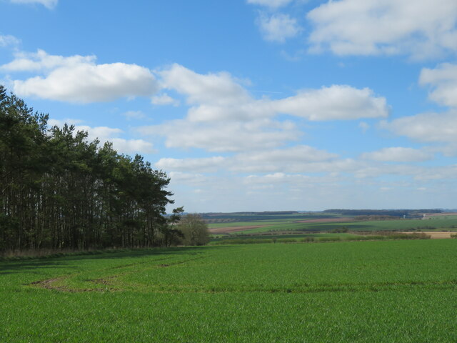
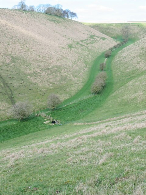
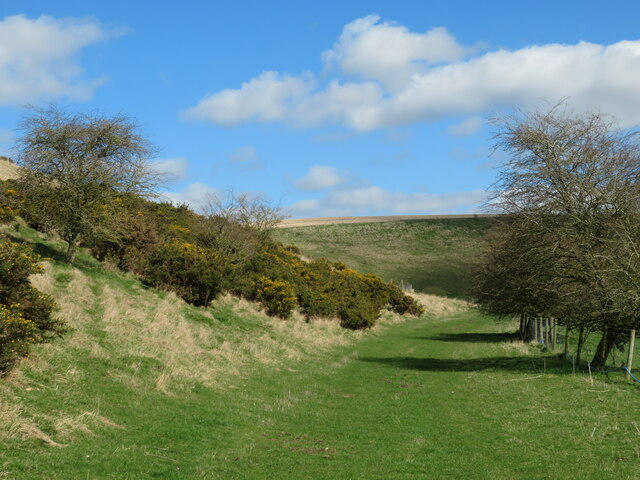
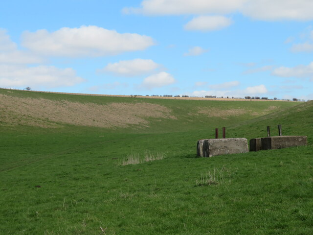
![Gentle contours A small unnamed side valley on the east side of Phillip's Slack. The Wolds landscape has many similarities to the chalk downs of Wessex, and my old home territory of the Marlborough Downs, but there are subtle differences. The narrow, steep sided, dry valleys of the Wolds are not replicated on the Downs. There are many dry valleys there, but they tend to be more open and spacious. The Wolds plateau is largely given over to cereal crops and large farms, whereas the Downs still [thankfully] have large areas of open grassland, often with evidence of habitation by early man.](https://s2.geograph.org.uk/geophotos/07/44/70/7447054_1d020db3.jpg)
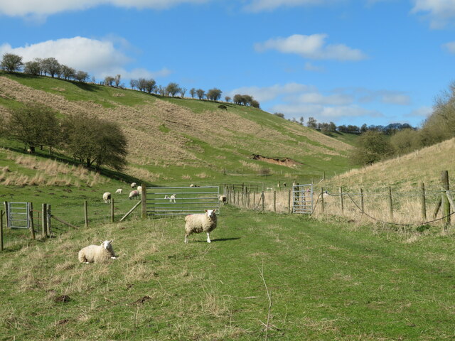
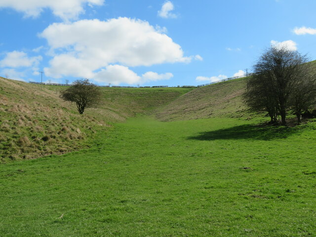
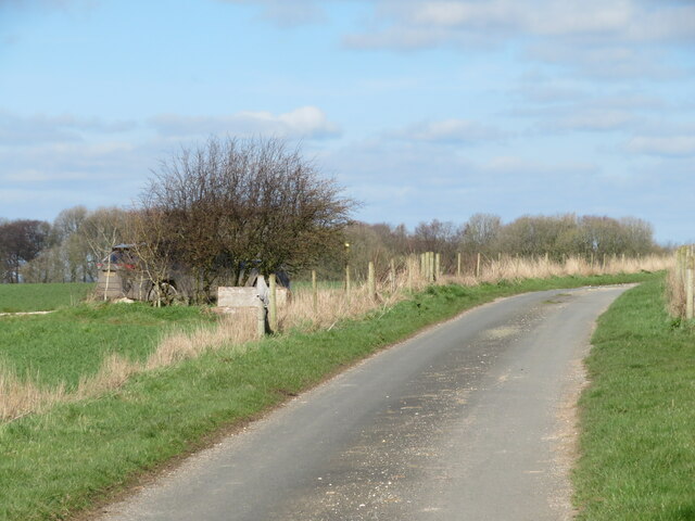
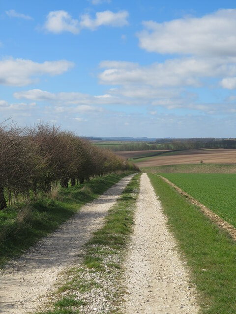
![Path in Cottam Well Dale Pleasant walking in a typical Wolds dry valley. For much of the way along the dale one is accompanied by lines of small trees [hawthorn etc] along the fence line.](https://s0.geograph.org.uk/geophotos/07/44/70/7447072_79e670a0.jpg)
Cowlam Well Dale is located at Grid Ref: SE9765 (Lat: 54.073457, Lng: -0.51725898)
Division: East Riding
Unitary Authority: East Riding of Yorkshire
Police Authority: Humberside
What 3 Words
///landlady.observe.blending. Near Wetwang, East Yorkshire
Nearby Locations
Related Wikis
Cowlam
Cowlam is a hamlet in the Cottam civil parish of the East Riding of Yorkshire, England, and in the Yorkshire Wolds. The hamlet is on the B1253 Bridlington...

Cottam, East Riding of Yorkshire
Cottam is a hamlet and civil parish in the East Riding of Yorkshire, England. The hamlet is west of the B1249 Skipsea to Staxton road, and in the Yorkshire...

RAF Cottam
Royal Air Force Cottam or more simply RAF Cottam is a former Royal Air Force satellite airfield near Cottam in the East Riding of Yorkshire, England and...

Croome, East Riding of Yorkshire
Croome is a hamlet in the East Riding of Yorkshire, England. It is situated approximately 8 miles (13 km) north-west of Driffield. It lies just to the...
Have you been to Cowlam Well Dale?
Leave your review of Cowlam Well Dale below (or comments, questions and feedback).