Flowery Dale
Valley in Yorkshire
England
Flowery Dale
The requested URL returned error: 429 Too Many Requests
If you have any feedback on the listing, please let us know in the comments section below.
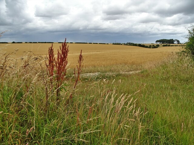
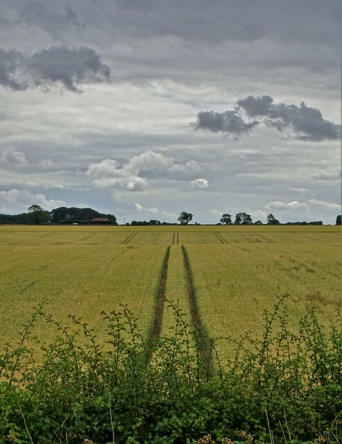
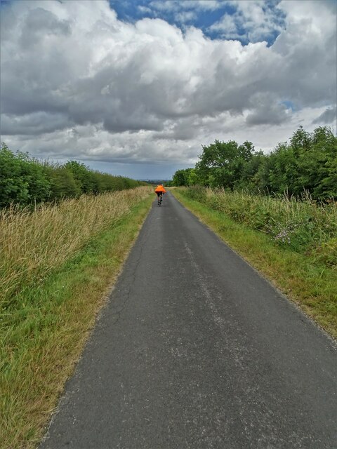
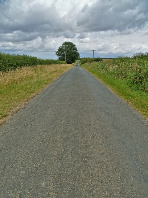
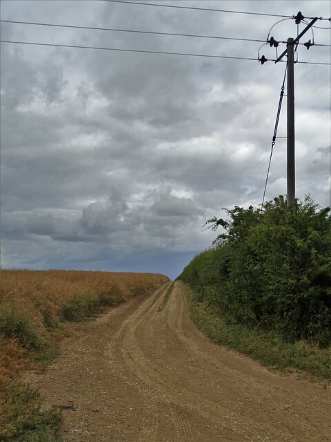
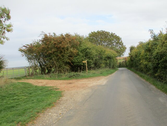
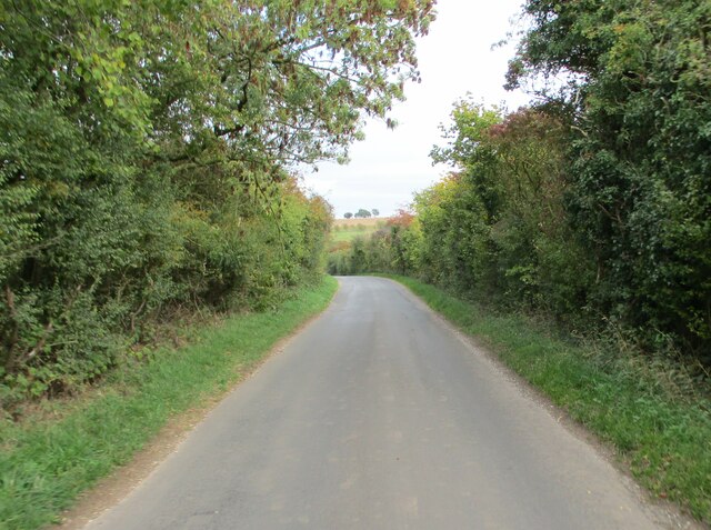
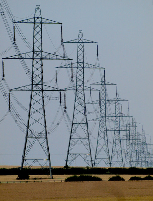
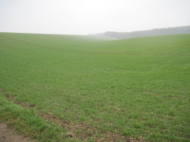
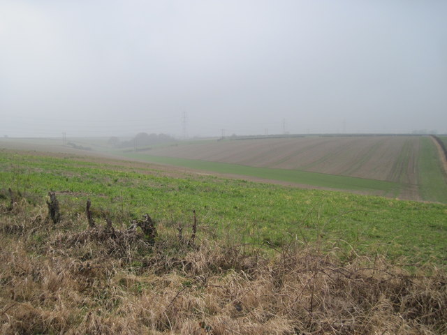
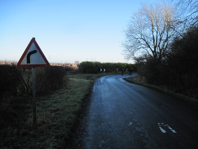
Flowery Dale Images
Images are sourced within 2km of 53.827259/-0.5297196 or Grid Reference SE9637. Thanks to Geograph Open Source API. All images are credited.


![Walkington Wold picnic site in winter [1] With a frost on the ground at noon, but it is December.](https://s2.geograph.org.uk/geophotos/03/25/72/3257258_0b5f6ede.jpg)
![Walkington Wold picnic site in winter [2] The bins have created a little pocket of warmth, thawing the noonday frost.](https://s3.geograph.org.uk/geophotos/03/25/72/3257263_b61c966f.jpg)


Flowery Dale is located at Grid Ref: SE9637 (Lat: 53.827259, Lng: -0.5297196)
Division: East Riding
Unitary Authority: East Riding of Yorkshire
Police Authority: Humberside
What 3 Words
///loafing.searcher.uniforms. Near Walkington, East Yorkshire
Nearby Locations
Related Wikis

Beverley Rural District
Beverley was a rural district in the East Riding of Yorkshire, England from 1894 to 1974.The district surrounded but did not include Beverley, which formed...

Walkington Hoard
The Walkington Hoard is a hoard of Corieltavian gold staters. They are a widely-scattered hoard which have been found by metal-detectorists over the course...

Bishop Burton
Bishop Burton is a village and civil parish in the East Riding of Yorkshire, England. It lies on the A1079 road approximately three miles (5 km) to the...

Walkington
Walkington is a village and civil parish in the East Riding of Yorkshire, England. It is situated approximately 3 miles (4.8 km) to the south-west of the...
Have you been to Flowery Dale?
Leave your review of Flowery Dale below (or comments, questions and feedback).