Bowdale Slack

Valley in Yorkshire

England

Bowdale Slack

Field near Garton-on-the-Wolds The tops of the potato plants have been removed recently.
Field near Garton-on-the-Wolds Credit: David Brown

The requested URL returned error: 429 Too Many Requests

If you have any feedback on the listing, please let us know in the comments section below.

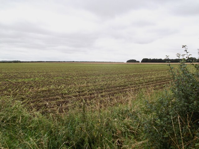
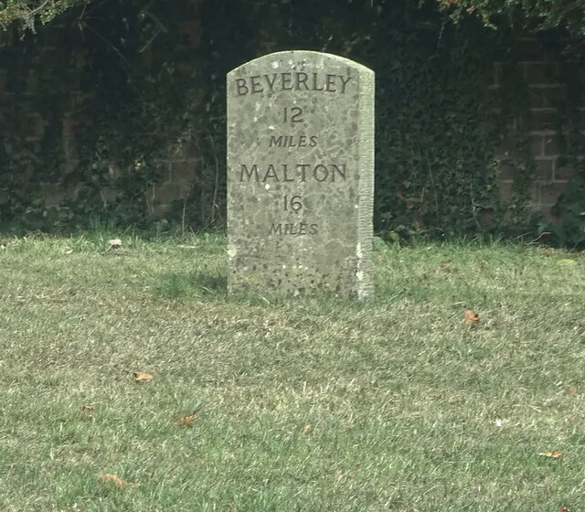
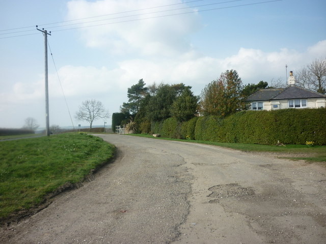
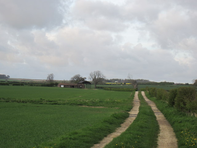
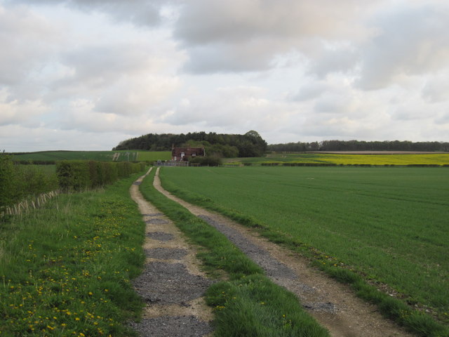
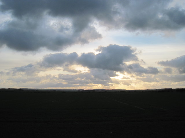
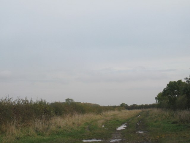
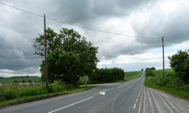
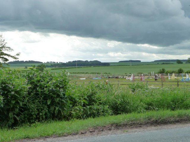
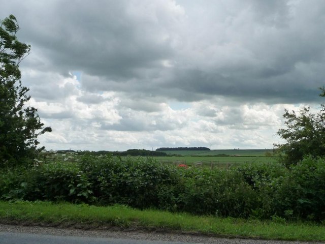
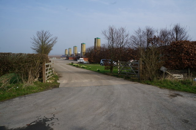
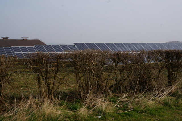
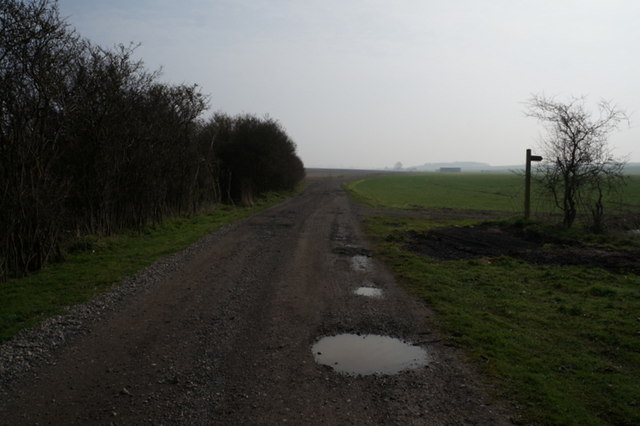
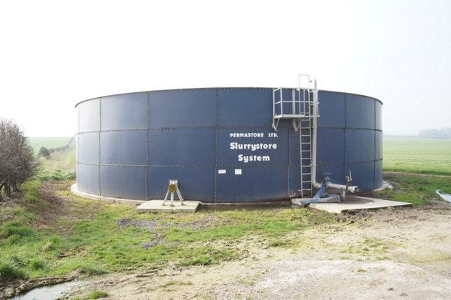
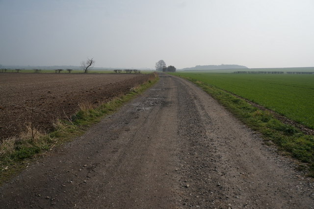
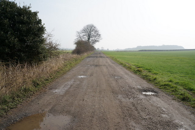
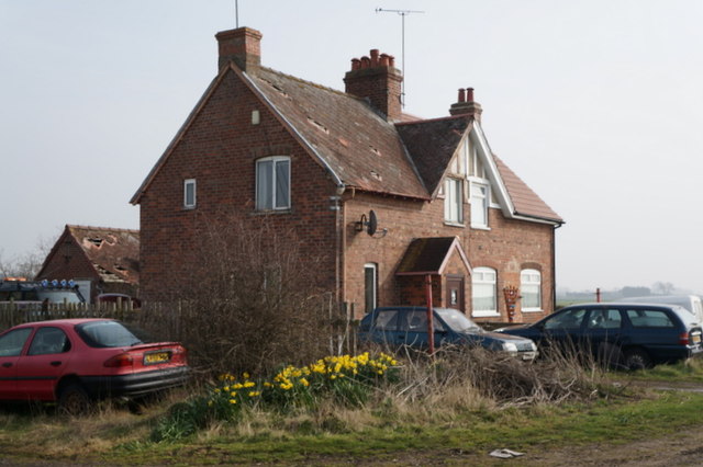
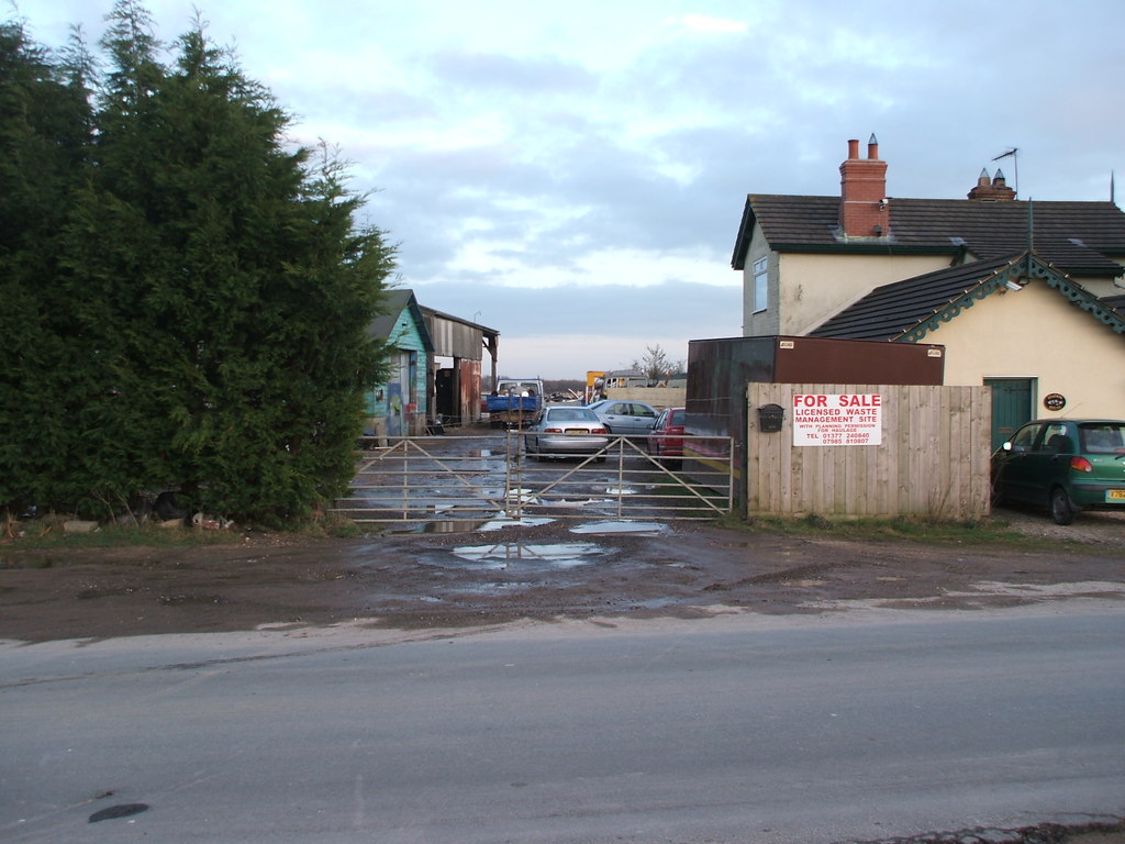
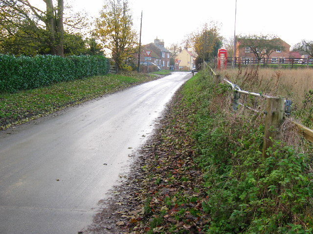
Bowdale Slack Images

Images are sourced within 2km of 54.003979/-0.53362976 or Grid Reference SE9657. Thanks to Geograph Open Source API. All images are credited.

Field near Garton-on-the-Wolds The tops of the potato plants have been removed recently.
Field near Garton-on-the-Wolds
The tops of the potato plants have been removed recently.
Modern Milestone by the B1248, Tibthorpe Milestone by the B1248, in parish of Tibthorpe (East Riding of Yorkshire District), just North of crossroads on Marshall Hill, by the road.

Inscription reads:-
BEVERLEY
12
MILES
MALTON
16
MILES

Surveyed

Milestone Society National ID: YE_BVMA12
Modern Milestone by the B1248, Tibthorpe
Milestone by the B1248, in parish of Tibthorpe (East Riding of Yorkshire District), just North of crossroads on Marshall Hill, by the road. Inscription reads:- BEVERLEY 12 MILES MALTON 16 MILES Surveyed Milestone Society National ID: YE_BVMA12
A lay-by on the B1248, south of Wetwang
Track  up  South  Field  to  Low  Shed This track runs from the lane at Sandpit Cottage.
Track up South Field to Low Shed
This track runs from the lane at Sandpit Cottage.
Field  Track  to  Sandpit  Cottage The wooded Craike Hill is behind the cottage
Field Track to Sandpit Cottage
The wooded Craike Hill is behind the cottage
Sunset  over  the  Yorkshire  Wolds A photo at dusk flat this valley is, it is about four miles in this direction before you come to smaller steeper sided wolds.Left and right the land rises.
Sunset over the Yorkshire Wolds
A photo at dusk flat this valley is, it is about four miles in this direction before you come to smaller steeper sided wolds.Left and right the land rises.
Track south of Garton on the Wolds Eventually becomes Garton Balk. It is also the parish boundary between Garton on the Wolds and Kirkburn.
Track south of Garton on the Wolds
Eventually becomes Garton Balk. It is also the parish boundary between Garton on the Wolds and Kirkburn.
Garton railway station (site), Yorkshire Opened in 1853 by the Malton & Driffield Railway, this line soon became part of the North Eastern Railway empire. The station closed in 1950 to passengers, and completely in 1958. 
View east towards Driffield.
See <span class="nowrap"><a title="http://www.disused-stations.org.uk/g/garton/index.shtml" rel="nofollow ugc noopener" href="http://www.disused-stations.org.uk/g/garton/index.shtml">Link</a><img style="margin-left:2px;" alt="External link" title="External link - shift click to open in new window" src="https://s1.geograph.org.uk/img/external.png" width="10" height="10"/></span> for more details.
Garton railway station (site), Yorkshire
Opened in 1853 by the Malton & Driffield Railway, this line soon became part of the North Eastern Railway empire. The station closed in 1950 to passengers, and completely in 1958. View east towards Driffield. See LinkExternal link for more details.
A166 at Garton Slack Looking west to the 41 metre spot height.
A166 at Garton Slack
Looking west to the 41 metre spot height.
Weather front over the jumps at Garton Slack On the south side of the A166.
Weather front over the jumps at Garton Slack
On the south side of the A166.
Cloudy sky at Garton Slack On the south side of the A166.
Cloudy sky at Garton Slack
On the south side of the A166.
Green Lane Farm on Cader Castle (road) Wetwang
Solar panels at Green Lane Farm near Wetwang
Track leading to Sand Pit Cottage
Slurry tank near Little Grange Farm
Track leading to Sand Pit Cottage
Sand Pit cottages, south of Garton-on-the-Wolds
Show me another place!

Bowdale Slack is located at Grid Ref: SE9657 (Lat: 54.003979, Lng: -0.53362976)

Division: East Riding

Unitary Authority: East Riding of Yorkshire

Police Authority: Humberside

What 3 Words

///press.investors.occur. Near Wetwang, East Yorkshire

Nearby Locations

Bowdale Slack

Related Wikis

Garton railway station

Garton railway station (SE980579) was a railway station on the Malton & Driffield Railway (MDR) in the East Riding of Yorkshire, England. It opened on...

Tibthorpe

Tibthorpe is a village and civil parish in the East Riding of Yorkshire, England. According to the 2011 UK census, Tibthorpe parish had a population of...

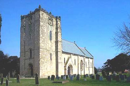
Church of St Michael and All Angels, Garton on the Wolds

The Church of St Michael and all Angels, Garton on the Wolds, in the East Riding of Yorkshire is a church of medieval origins that was built c.1132 for...

Garton on the Wolds

Garton on the Wolds is a village and civil parish on the Yorkshire Wolds in the East Riding of Yorkshire, England. It is situated approximately 3 miles...

Have you been to Bowdale Slack?

Leave your review of Bowdale Slack below (or comments, questions and feedback).