Darnell's Dene

Valley in Bedfordshire

England

Darnell's Dene

Work in progress New concrete road near the PDM  food recycling plant at Wymington
<span class="nowrap"><a title="http://www.pdm-group.co.uk/index.html" rel="nofollow ugc noopener" href="http://www.pdm-group.co.uk/index.html">Link</a><img style="margin-left:2px;" alt="External link" title="External link - shift click to open in new window" src="https://s1.geograph.org.uk/img/external.png" width="10" height="10"/></span>
Work in progress Credit: Michael Trolove

The requested URL returned error: 429 Too Many Requests

If you have any feedback on the listing, please let us know in the comments section below.

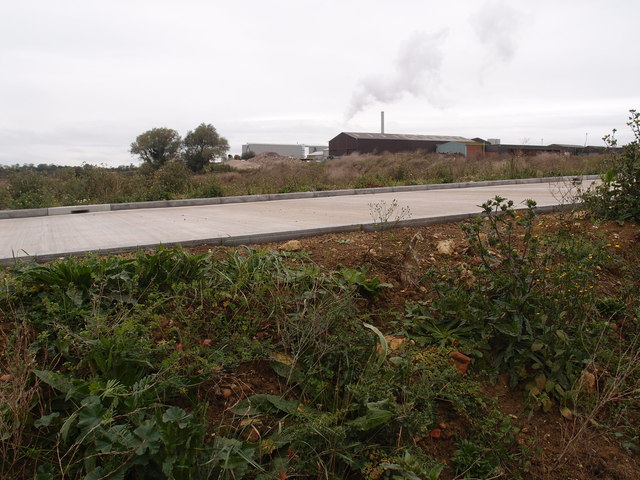
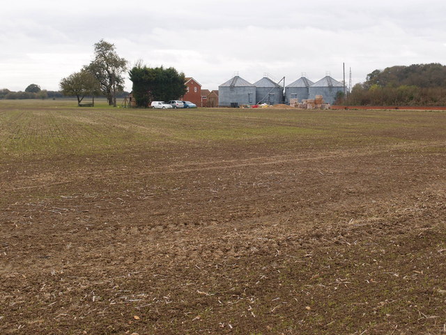
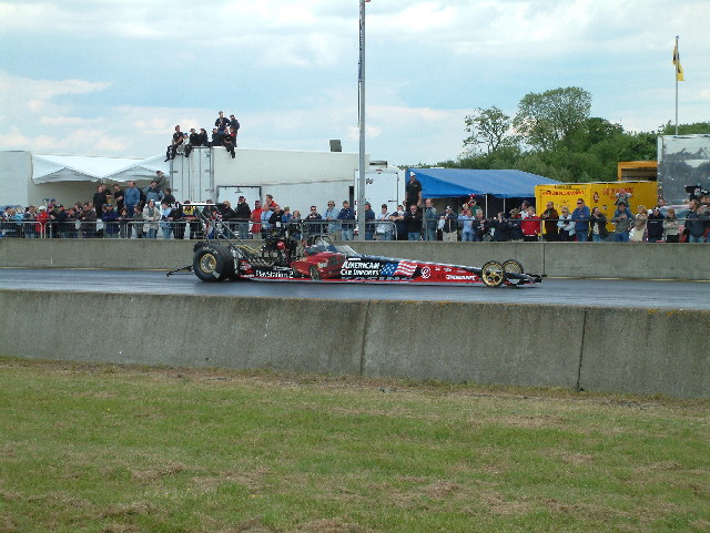
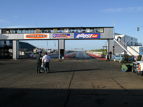
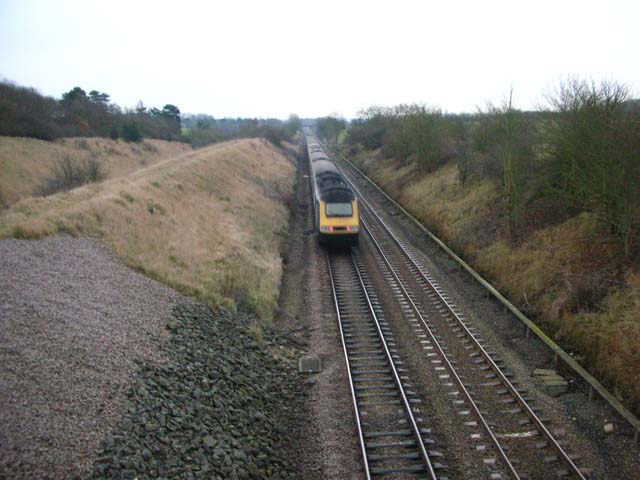
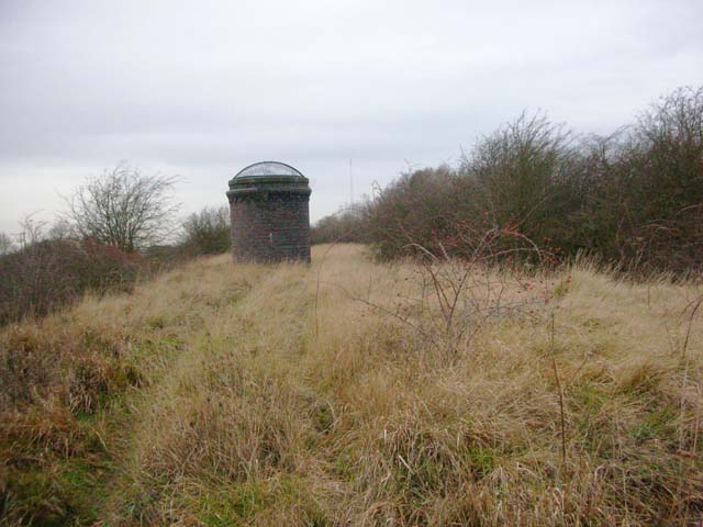
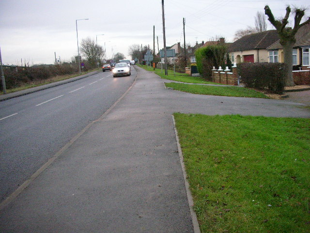
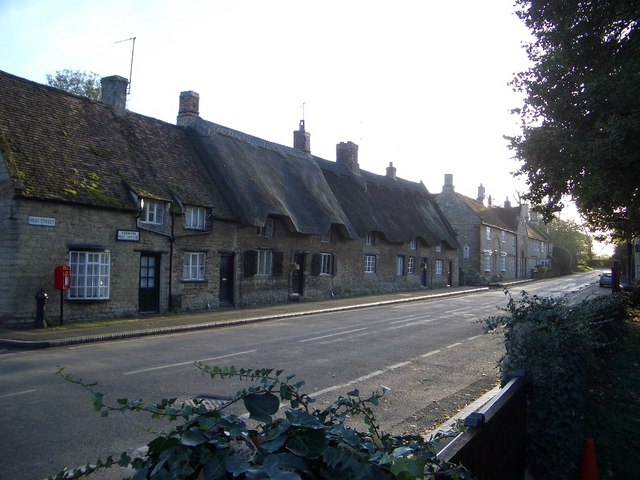
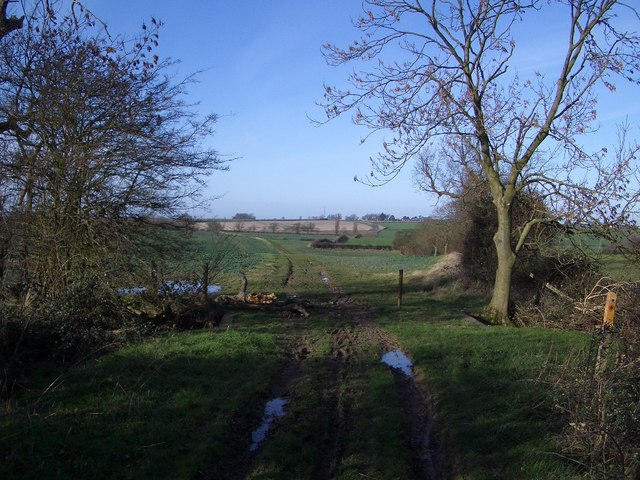
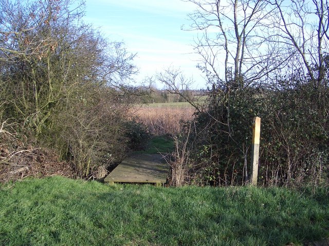
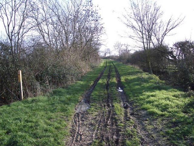
Darnell's Dene Images

Images are sourced within 2km of 52.255404/-0.59368867 or Grid Reference SP9662. Thanks to Geograph Open Source API. All images are credited.

Work in progress New concrete road near the PDM  food recycling plant at Wymington
<span class="nowrap"><a title="http://www.pdm-group.co.uk/index.html" rel="nofollow ugc noopener" href="http://www.pdm-group.co.uk/index.html">Link</a><img style="margin-left:2px;" alt="External link" title="External link - shift click to open in new window" src="https://s1.geograph.org.uk/img/external.png" width="10" height="10"/></span>
Work in progress
New concrete road near the PDM food recycling plant at Wymington LinkExternal link
Goosey's Lodge A haulage contractor's yard.
Goosey's Lodge
A haulage contractor's yard.
North Lodge A modern Country House
North Lodge
A modern Country House
Blackmere Farm In the vicinity of the Santa Pod Raceway at least you could hear it if not see it.
Blackmere Farm
In the vicinity of the Santa Pod Raceway at least you could hear it if not see it.
Track to house Off the A6 Bedford Road
Track to house
Off the A6 Bedford Road
Santa Pod Raceway - Drag Racing
Santa Pod raceway Santa Pod dragstrip in Bedfordshire, facing south west. It is exactly a quarter of a mile to the finish line on the horizon.
Santa Pod raceway
Santa Pod dragstrip in Bedfordshire, facing south west. It is exactly a quarter of a mile to the finish line on the horizon.
Midland Main Line The train is travelling south-east down the main line from Sharnbrook Summit towards Bedford. The slow line cannot be seen from here but it lies in the fold of land on the left of the photo. It soon enters Sharnbrook Tunnel.
Midland Main Line
The train is travelling south-east down the main line from Sharnbrook Summit towards Bedford. The slow line cannot be seen from here but it lies in the fold of land on the left of the photo. It soon enters Sharnbrook Tunnel.
Airshaft The airshaft is on Sharnbrook Summit and ventilates the slow-line tunnel. The land over the tunnel is a nature reserve.
Airshaft
The airshaft is on Sharnbrook Summit and ventilates the slow-line tunnel. The land over the tunnel is a nature reserve.
Farmland Looking north-east across the square to Bencroft Grange on the A6
Farmland
Looking north-east across the square to Bencroft Grange on the A6
Goosey Lodge Industrial Estate Looking north-west to the factories. The public footpath should be on the other side of the foreground hedge but it is obstructed and cannot be used on its proper line.
Goosey Lodge Industrial Estate
Looking north-west to the factories. The public footpath should be on the other side of the foreground hedge but it is obstructed and cannot be used on its proper line.
Wymington A quiet corner of the village with children's play area and the village church in the background
Wymington
A quiet corner of the village with children's play area and the village church in the background
The A6 road south of Rushden
Podington Post Office & High Street Although Podington is probably better known by its association with the Santa Pod drag racing circuit, the village itself is a jewel of vernacular architecture. It has been described as "an aged village of stone and thatch built around the 13th-Century Church of St Mary the Virgin" from where this photo was taken looking south and west.
Podington Post Office & High Street
Although Podington is probably better known by its association with the Santa Pod drag racing circuit, the village itself is a jewel of vernacular architecture. It has been described as "an aged village of stone and thatch built around the 13th-Century Church of St Mary the Virgin" from where this photo was taken looking south and west.
Byway & Footpath Junction north of Poddington The Byway is seen here heading off westwards to meet the Irchester Road north of Farndish. A footpath leaves this point by the marker on the right of this photo and heads off towards the north of Wymington.
Byway & Footpath Junction north of Poddington
The Byway is seen here heading off westwards to meet the Irchester Road north of Farndish. A footpath leaves this point by the marker on the right of this photo and heads off towards the north of Wymington.
Footpath to Wymington The footpath to Wymington is seen here leaving the Farndish/Wymington Byway and crossing a footbridge over a drainage ditch, heading northwards.
Footpath to Wymington
The footpath to Wymington is seen here leaving the Farndish/Wymington Byway and crossing a footbridge over a drainage ditch, heading northwards.
Byway to Wymington The Byway shown here heads off towards the Wymington Road north of Poddington, along the parish boundary between the two villages. The more direct footpath to Wymington leaves the Byway by the marker post shown to the left of this photo.
Byway to Wymington
The Byway shown here heads off towards the Wymington Road north of Poddington, along the parish boundary between the two villages. The more direct footpath to Wymington leaves the Byway by the marker post shown to the left of this photo.
Railway Bridge West of Wymington This triple-arched railway bridge provides access from Wymington to farmland lying west of the rail track that runs between Bedford and Wellingborough. The bridge also carries the footpath that runs between Wymington and the Byway to the southeast; it is labelled number SPC2/73, Goosey's Bridge.
Railway Bridge West of Wymington
This triple-arched railway bridge provides access from Wymington to farmland lying west of the rail track that runs between Bedford and Wellingborough. The bridge also carries the footpath that runs between Wymington and the Byway to the southeast; it is labelled number SPC2/73, Goosey's Bridge.
Show me another place!

Darnell's Dene is located at Grid Ref: SP9662 (Lat: 52.255404, Lng: -0.59368867)

Unitary Authority: Bedford

Police Authority: Bedfordshire

What 3 Words

///riverboat.professes.fuzz. Near Podington, Bedfordshire

Nearby Locations

Darnell's Dene

Related Wikis

Wymington Meadow

Wymington Meadow is a nature reserve south of Wymington in Bedfordshire. It is approximately one hectare, and is managed by the Wildlife Trust for Bedfordshire...

Sharnbrook Summit

Sharnbrook Summit is a nature reserve between the villages of Sharnbrook and Wymington in Bedfordshire. It has an area of approximately nine hectares,...

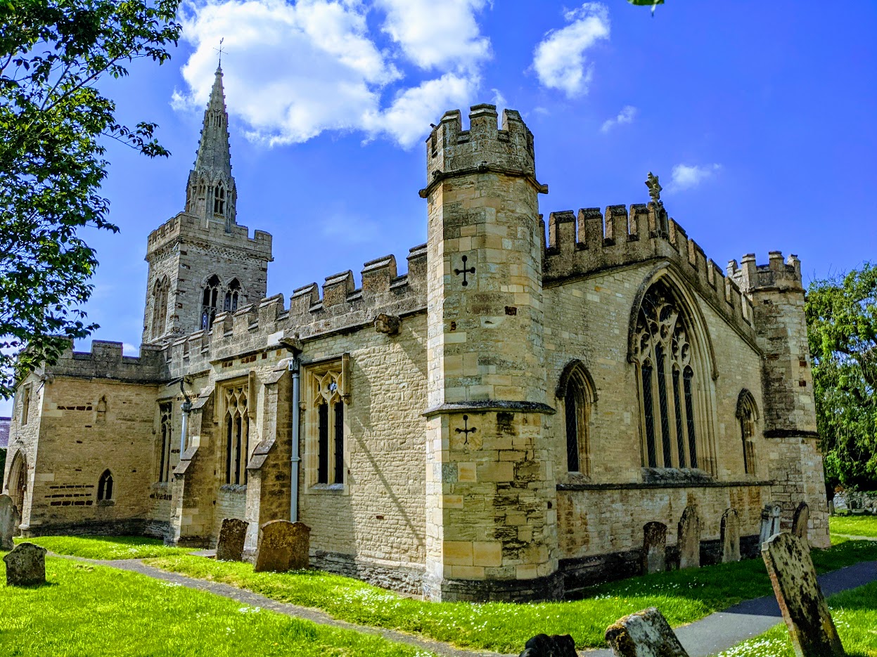
Church of St Lawrence, Wymington

The Parish Church of Saint Lawrence, Wymington is a Grade I listed church in Wymington, Bedfordshire, England. It became a listed building on 13 July 1964...

Wymington

Wymington is a small village and civil parish in the borough of Bedford in northern Bedfordshire, England. It is located around a mile and a half south...

Nearby Amenities

Located within 500m of 52.255404,-0.59368867
Power: pole
Lat/Long: 52.2554675/-0.5915292
Power: pole
Lat/Long: 52.2589416/-0.5978163
Power: pole
Lat/Long: 52.2545809/-0.5899199
Power: pole
Lat/Long: 52.2563377/-0.5931225
Power: pole
Lat/Long: 52.253796/-0.5884983
Power: pole
Lat/Long: 52.258124/-0.5963518
Power: pole
Lat/Long: 52.2572177/-0.5946889
Glebe Farm Solar Park
Brand: National Grid
Brand Wikidata: Q1465461
Operator: National Grid Electricity Distribution Plc
Operator Old: Western Power Distribution
Operator Wikidata: Q7988183
Owner: National Grid Electricity Distribution (East Midlands) Plc
Owner Wikidata: Q114348127
Power: substation
Ref GB Wpd Site: 926242
Voltage: 33000
Lat/Long: 52.2532343/-0.5879536
The data included in this document is from www.openstreetmap.org. The data is made available under ODbL.

Have you been to Darnell's Dene?

Leave your review of Darnell's Dene below (or comments, questions and feedback).