The Glen

Valley in Sussex Chichester

England

The Glen

Reeth near Black Down The property known as Reeth viewed from the passing footpath.
Reeth near Black Down Credit: Chris Thomas-Atkin

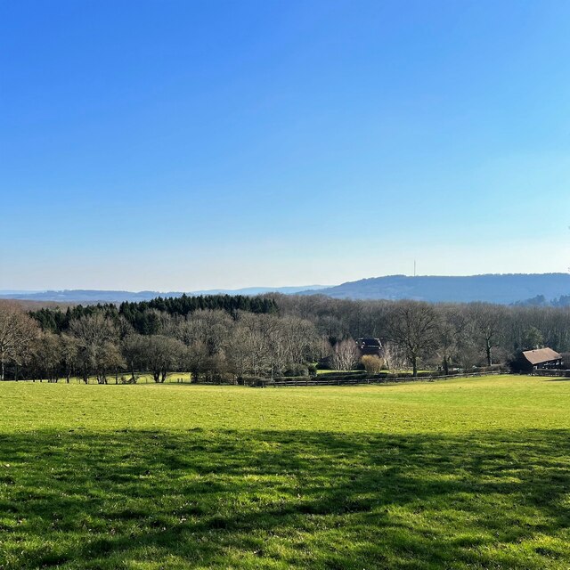
The Glen, Sussex (Valley), is a picturesque and serene area located in Sussex County, New Jersey. Nestled amidst rolling hills and lush greenery, this valley is characterized by its natural beauty and tranquil atmosphere. The Glen is renowned for its scenic landscape, making it a popular destination for nature enthusiasts and outdoor adventurers.

The valley is home to a diverse range of flora and fauna, with numerous hiking trails and nature reserves providing ample opportunities for exploration and wildlife spotting. Visitors can indulge in activities such as birdwatching, fishing, and camping, immersing themselves in the peacefulness of the surroundings.

Aside from its captivating natural features, The Glen also boasts a rich history. The area was settled in the early 18th century and has since retained its rustic charm. Remnants of the past, such as historic buildings and landmarks, can still be found, adding an element of nostalgia to the valley's ambiance.

The Glen is not only a haven for outdoor enthusiasts but also offers a close-knit community atmosphere. Residents take pride in their surroundings and actively participate in local events and initiatives. The valley is home to various community organizations, including clubs, sports teams, and volunteer groups, fostering a strong sense of unity and camaraderie among its inhabitants.

Overall, The Glen, Sussex (Valley), is a hidden gem that offers a perfect blend of natural beauty, historical significance, and community spirit. Whether one seeks solace in nature, wishes to delve into the valley's past, or wishes to connect with like-minded individuals, The Glen has something to offer for everyone.

If you have any feedback on the listing, please let us know in the comments section below.
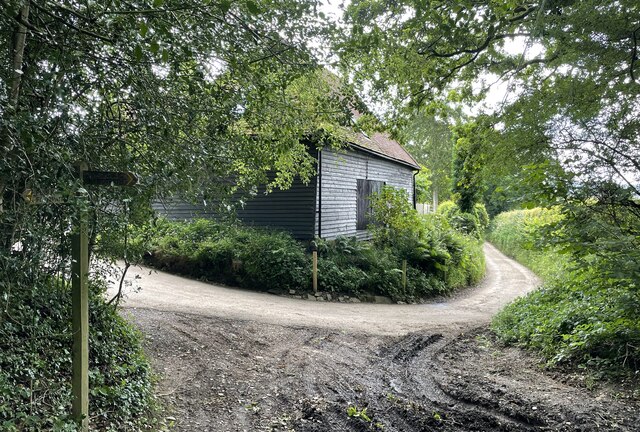
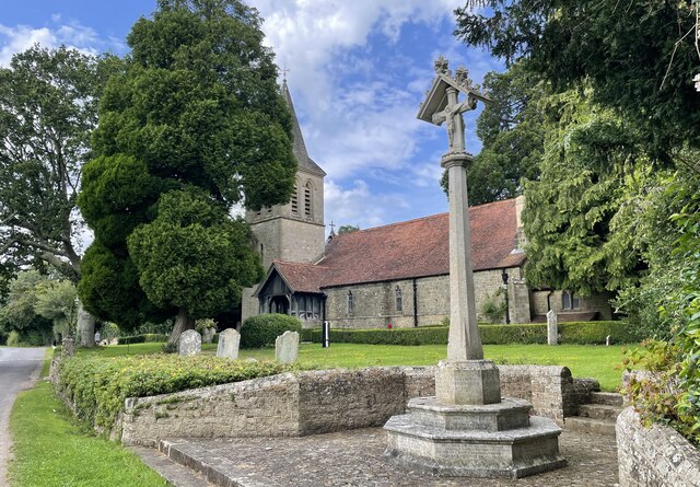
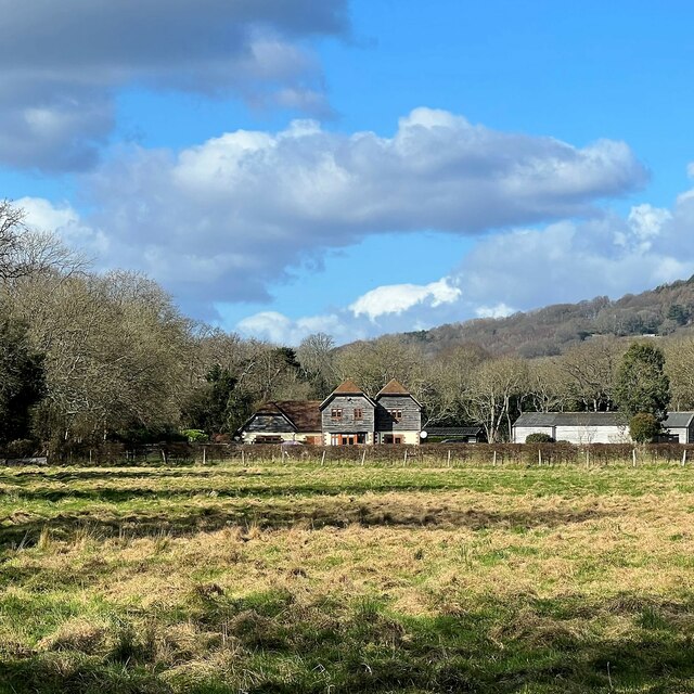
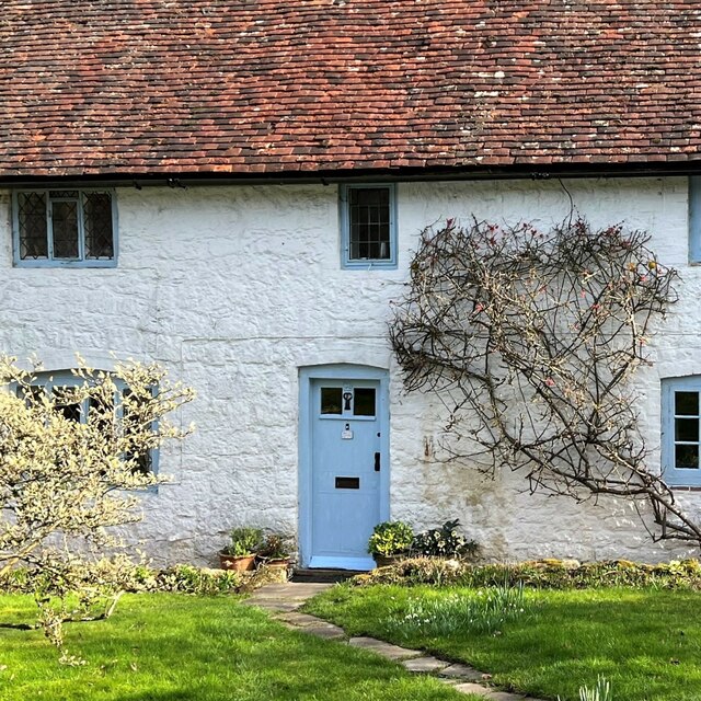
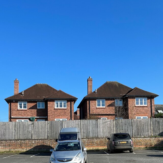
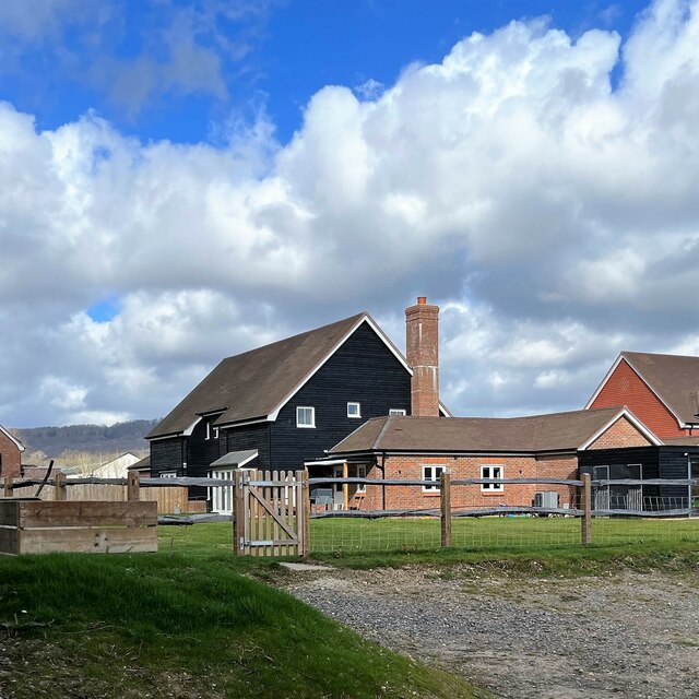
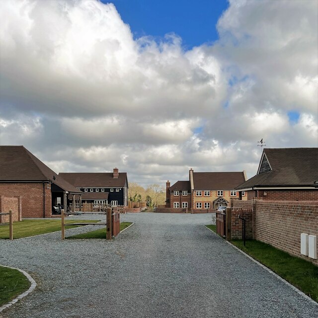
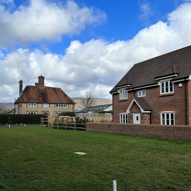
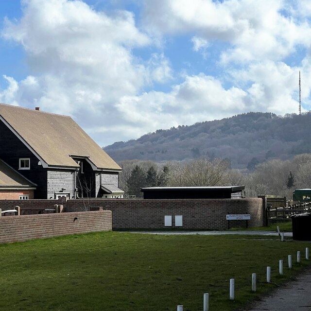
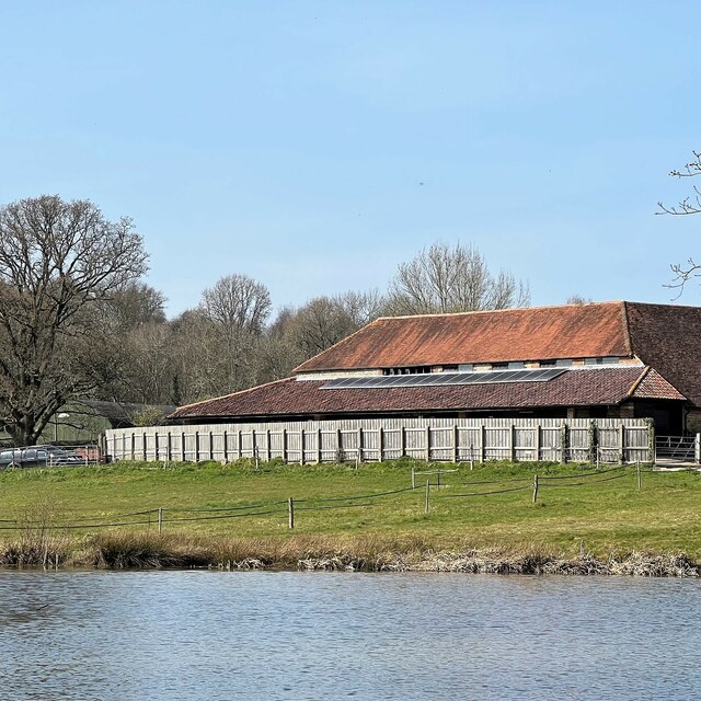
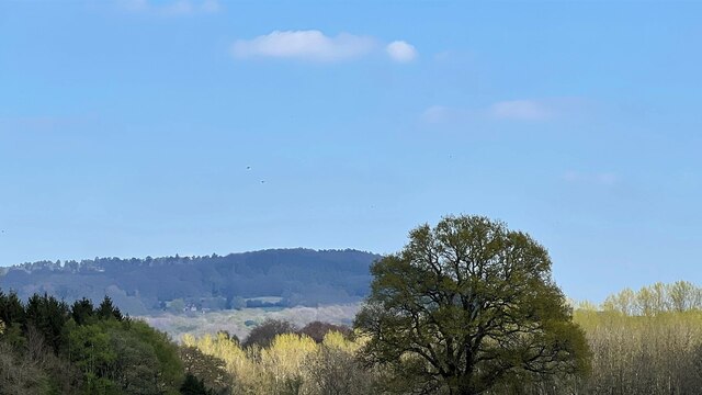
The Glen Images

Images are sourced within 2km of 51.0369/-0.70989255 or Grid Reference SU9027. Thanks to Geograph Open Source API. All images are credited.

Reeth near Black Down The property known as Reeth viewed from the passing footpath.
Reeth near Black Down
The property known as Reeth viewed from the passing footpath.
Reeth Copse Heading towards Fernhurst through Reeth Copse.
Reeth Copse
Heading towards Fernhurst through Reeth Copse.
Approaching Tanyard Cottage On the public footpath at the point where it turns right at Tanyard Cottage towards Fernhurst.
Approaching Tanyard Cottage
On the public footpath at the point where it turns right at Tanyard Cottage towards Fernhurst.
The Parish Church of St Margaret The church is a Grade II listed building. See <span class="nowrap"><a title="https://historicengland.org.uk/listing/the-list/list-entry/1025991" rel="nofollow ugc noopener" href="https://historicengland.org.uk/listing/the-list/list-entry/1025991">Link</a><img style="margin-left:2px;" alt="External link" title="External link - shift click to open in new window" src="https://s1.geograph.org.uk/img/external.png" width="10" height="10"/></span>
The Parish Church of St Margaret
The church is a Grade II listed building. See LinkExternal link
View NNW towards Lower Gentilshurst Farm
White Cottage According to the map "White Cottage" is the name of the cottage - not merely a description!
White Cottage
According to the map "White Cottage" is the name of the cottage - not merely a description!
View SE towards Bexleyhill You can see the mast of the Midhurst transmitting station on the top of Bexleyhill - about three quarters of the way across the photo from the left.
View SE towards Bexleyhill
You can see the mast of the Midhurst transmitting station on the top of Bexleyhill - about three quarters of the way across the photo from the left.
Houses adjacent to Crossfield car park
New houses on Hurstfold Farm Road
New houses on Hurstfield Farm Road To me there is always something slightly surreal about newly built houses like this - before people move in.
New houses on Hurstfield Farm Road
To me there is always something slightly surreal about newly built houses like this - before people move in.
View NNE in the direction of Hurstfold Farm You can see a barn between the two houses - and Black Down behind the barn.
View NNE in the direction of Hurstfold Farm
You can see a barn between the two houses - and Black Down behind the barn.
New house and view towards Bexleyhill You can see the mast of Midhurst Transmitting Station on the top of Bexleyhill.
New house and view towards Bexleyhill
You can see the mast of Midhurst Transmitting Station on the top of Bexleyhill.
Pond and buildings at Lower House Farm The pond lies in this grid square. The farm buildings lie in the square to the NW.
Pond and buildings at Lower House Farm
The pond lies in this grid square. The farm buildings lie in the square to the NW.
Primroses by the track to Lower House Farm
Pond and view towards Lower House Farm The pond lies in this grid square. The house and farm buildings are in the square to the NW.
Pond and view towards Lower House Farm
The pond lies in this grid square. The house and farm buildings are in the square to the NW.
Scout hut off Ropes Lane This is the "1st Fernhurst" scout hut.
Scout hut off Ropes Lane
This is the "1st Fernhurst" scout hut.
View NE towards Black Down
Horse in a zebra coat - near Hurstfold Farm
Show me another place!

The Glen is located at Grid Ref: SU9027 (Lat: 51.0369, Lng: -0.70989255)

Administrative County: West Sussex

District: Chichester

Police Authority: Sussex

What 3 Words

///snowboard.baths.epic. Near Fernhurst, West Sussex

Related Wikis

Cooksbridge Meadow

Cooksbridge Meadow is a 9-hectare (22-acre) nature reserve south of Fernhurst in Sussex. It is managed by the Sussex Wildlife Trust.Most of this site...

North Ambersham

North Ambersham was a tithing in the Chichester district of West Sussex, England. Until 1844 North Ambersham was a detached part of Hampshire and was...

Fernhurst

Fernhurst is a village and civil parish in the Chichester District of West Sussex, England, on the A286 Milford, Surrey, to Chichester road, 3 miles (4...

Northpark Copse to Snapelands Copse

Northpark Copse to Snapelands Copse is a 101.4-hectare (251-acre) biological Site of Special Scientific Interest north of Midhurst in West Sussex.This...

Perry Copse Outcrop

Perry Copse Outcrop is a 0.2-hectare (0.49-acre) geological Site of Special Scientific Interest in Fernhurst in West Sussex. It is a Geological Conservation...

Iberia Flight 062

Iberia Flight 062 was a twin-engined Sud Aviation Caravelle registered EC-BDD operating a scheduled flight from Málaga Airport, Spain, to London Heathrow...

Midhurst transmitting station

The Midhurst transmitting station is a facility for both analogue and digital VHF/FM radio and UHF television transmission, 3.1 miles (5.0 km) northeast...

Blackdown, West Sussex

Blackdown, or Black Down, summit elevation 279.7 metres (918 ft) AMSL, is the highest point in both the historic county of Sussex and the South Downs National...

Nearby Amenities

Located within 500m of 51.0369,-0.70989255
Barrier: stile
Lat/Long: 51.0353325/-0.7126445
Barrier: stile
Lat/Long: 51.0353162/-0.7122896
Barrier: stile
Lat/Long: 51.0353744/-0.7135584
Post Box
Brand: Royal Mail
Brand Wikidata: Q638098
Collection Plate: CP7D
Collection Times: Mo-Fr 09:00; Sa 07:00
Old Ref: GU27 41
Operator: Royal Mail
Operator Wikidata: Q638098
Post Box Mounting: wooden_pole
Post Box Type: lamp
Ref: GU27 41D
Royal Cypher: EIIR
Royal Cypher Wikidata: Q33102113
Source: survey
Survey Point: 2022-08-25
Lat/Long: 51.0393948/-0.7082487
Barrier: stile
Lat/Long: 51.040276/-0.7110485
Power: pole
Lat/Long: 51.0330283/-0.7102677
Power: pole
Lat/Long: 51.0334028/-0.7120219
Power: pole
Lat/Long: 51.0349259/-0.7139424
Power: pole
Lat/Long: 51.0357709/-0.7150179
Power: pole
Lat/Long: 51.0365535/-0.7159782
Grit Bin
Colour: green
Covered: yes
Source: survey
Survey Point: 2022-08-25
Lat/Long: 51.0396628/-0.7107723
The data included in this document is from www.openstreetmap.org. The data is made available under ODbL.

Have you been to The Glen?

Leave your review of The Glen below (or comments, questions and feedback).