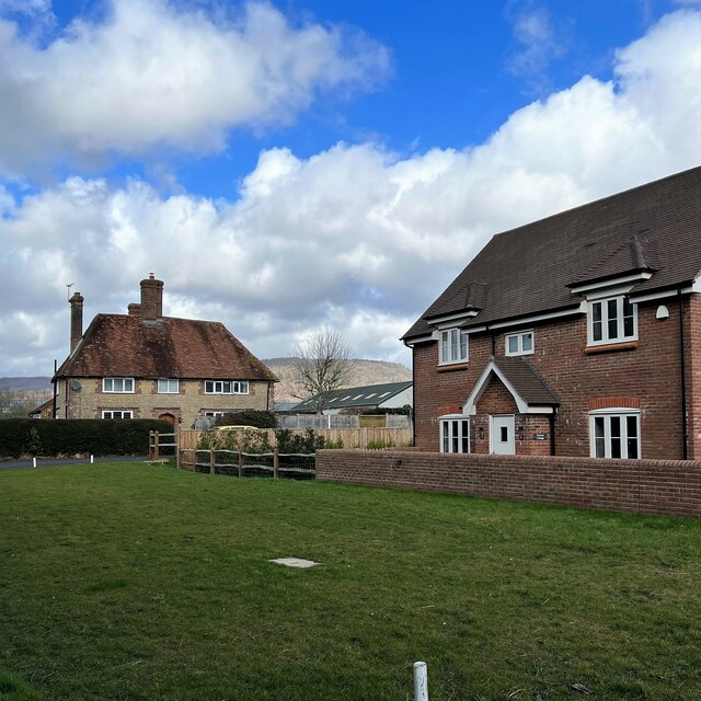
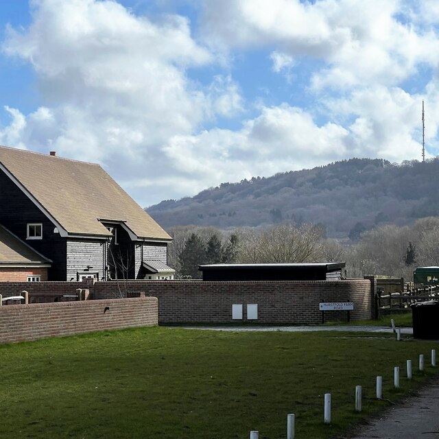
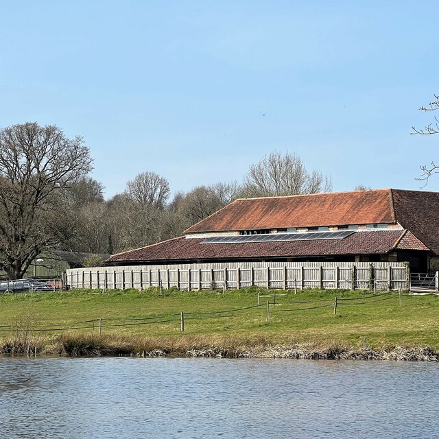
Laundry Copse
Wood, Forest in Sussex Chichester
England
Laundry Copse

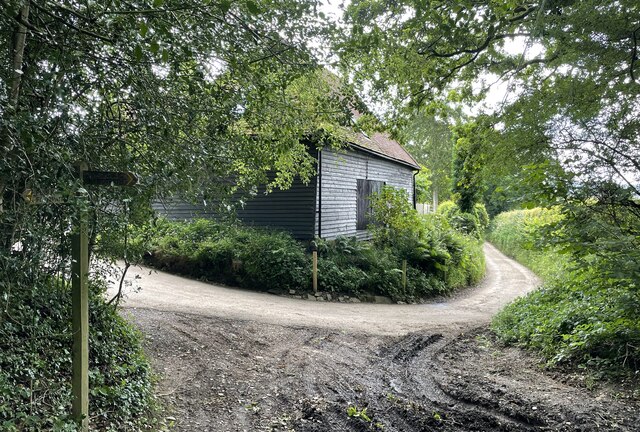
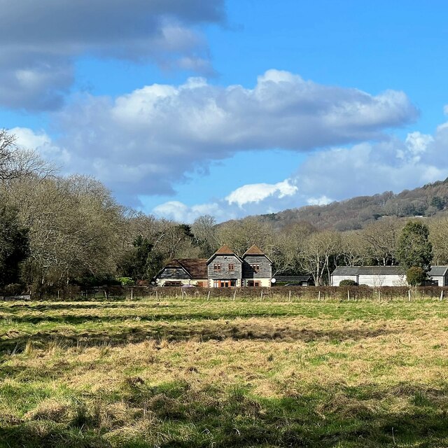
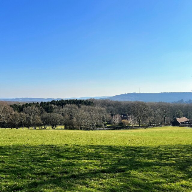
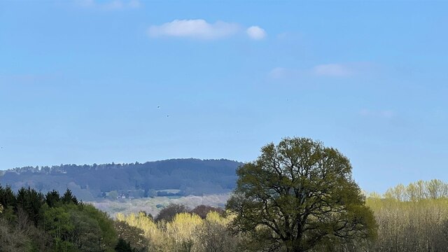
Laundry Copse is a picturesque woodland located in Sussex, England. Situated on the outskirts of a small village, this enchanting forest covers an area of approximately 20 acres and is a haven for nature enthusiasts and outdoor lovers alike.
Characterized by its dense foliage and towering trees, Laundry Copse exudes a tranquil and serene atmosphere. The forest is predominantly composed of native British tree species, including oak, beech, and ash, which create a rich and diverse ecosystem. The forest floor is covered with a thick layer of leaf litter, providing a fertile ground for an array of flora and fauna.
Walking through Laundry Copse, visitors are treated to a myriad of sights and sounds. The air is filled with the sweet scent of wildflowers, and the gentle rustling of leaves provides a soothing soundtrack. The forest is home to various wildlife, including deer, foxes, and a variety of bird species, making it a popular spot for birdwatching and animal spotting.
Several walking trails wind through the woods, offering visitors the opportunity to explore the forest's hidden nooks and crannies. These well-maintained paths provide stunning views of the surrounding countryside and lead to secluded clearings, perfect for a picnic or simply to relax and immerse oneself in the peacefulness of nature.
Laundry Copse is not only a natural gem but also holds historical significance. Local legends tell stories of how the area was once used by villagers to dry their laundry, hence the name. Although the practice has long ceased, the name has stuck, adding a touch of charm to this already captivating woodland.
With its serene ambiance and natural beauty, Laundry Copse is a must-visit destination for those seeking solace in nature and an opportunity to connect with the enchanting landscapes of Sussex.
If you have any feedback on the listing, please let us know in the comments section below.
Laundry Copse Images
Images are sourced within 2km of 51.038294/-0.71070964 or Grid Reference SU9027. Thanks to Geograph Open Source API. All images are credited.


Laundry Copse is located at Grid Ref: SU9027 (Lat: 51.038294, Lng: -0.71070964)
Administrative County: West Sussex
District: Chichester
Police Authority: Sussex
What 3 Words
///tissue.dignity.slugs. Near Fernhurst, West Sussex
Nearby Locations
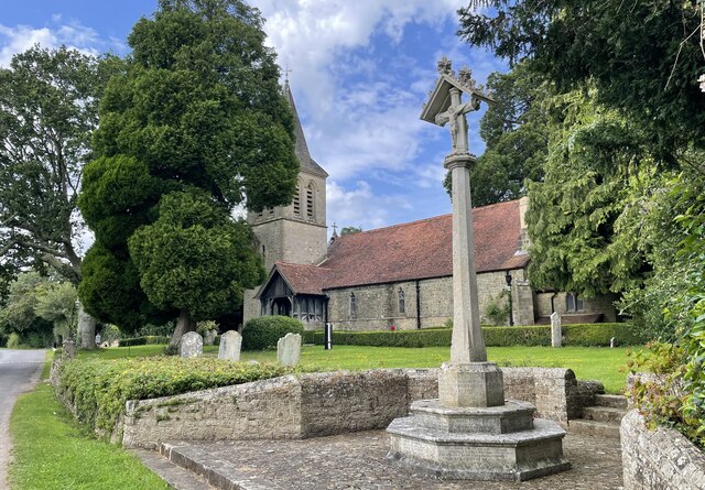
Related Wikis

Cooksbridge Meadow
Cooksbridge Meadow is a 9-hectare (22-acre) nature reserve south of Fernhurst in Sussex. It is managed by the Sussex Wildlife Trust.Most of this site...

North Ambersham
North Ambersham was a tithing in the Chichester district of West Sussex, England. Until 1844 North Ambersham was a detached part of Hampshire and was...

Fernhurst
Fernhurst is a village and civil parish in the Chichester District of West Sussex, England, on the A286 Milford, Surrey, to Chichester road, 3 miles (4...

Perry Copse Outcrop
Perry Copse Outcrop is a 0.2-hectare (0.49-acre) geological Site of Special Scientific Interest in Fernhurst in West Sussex. It is a Geological Conservation...

Iberia Flight 062
Iberia Flight 062 was a twin-engined Sud Aviation Caravelle registered EC-BDD operating a scheduled flight from Málaga Airport, Spain, to London Heathrow...

Northpark Copse to Snapelands Copse
Northpark Copse to Snapelands Copse is a 101.4-hectare (251-acre) biological Site of Special Scientific Interest north of Midhurst in West Sussex.This...
Midhurst transmitting station
The Midhurst transmitting station is a facility for both analogue and digital VHF/FM radio and UHF television transmission, 3.1 miles (5.0 km) northeast...

Blackdown, West Sussex
Blackdown, or Black Down, summit elevation 279.7 metres (918 ft) AMSL, is the highest point in both the historic county of Sussex and the South Downs National...
Nearby Amenities
Located within 500m of 51.038294,-0.71070964Have you been to Laundry Copse?
Leave your review of Laundry Copse below (or comments, questions and feedback).