West Dale

Valley in Yorkshire

England

West Dale

Farmland near Gritts Farm Looking across cereal fields above Thixendale.
Farmland near Gritts Farm Credit: DS Pugh

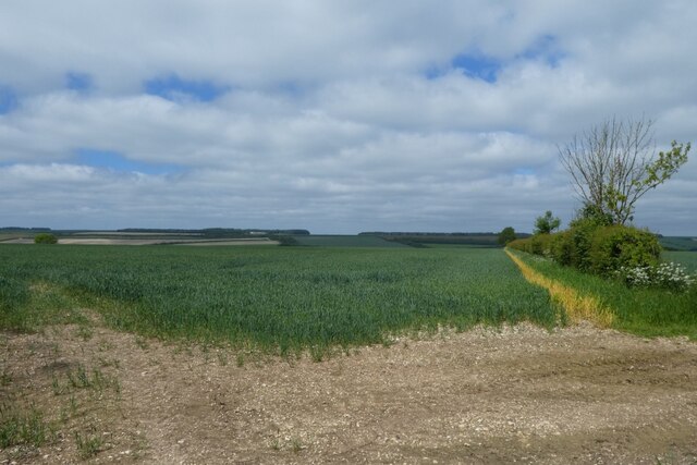
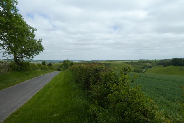
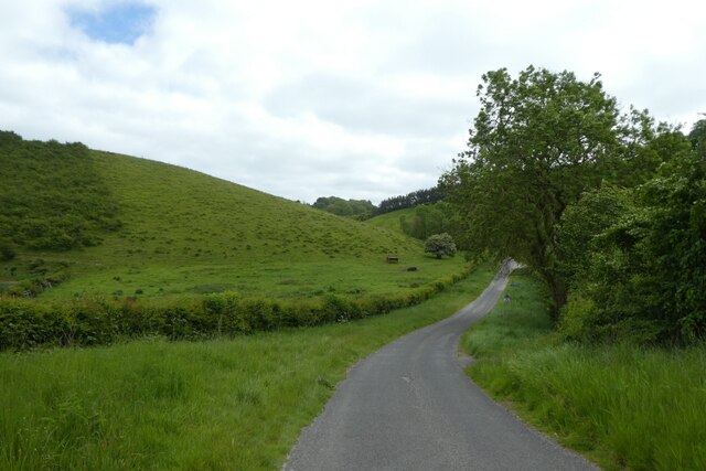
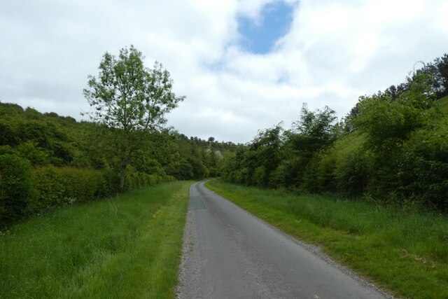
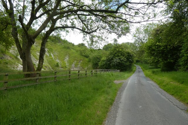
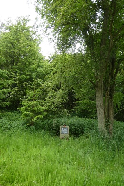
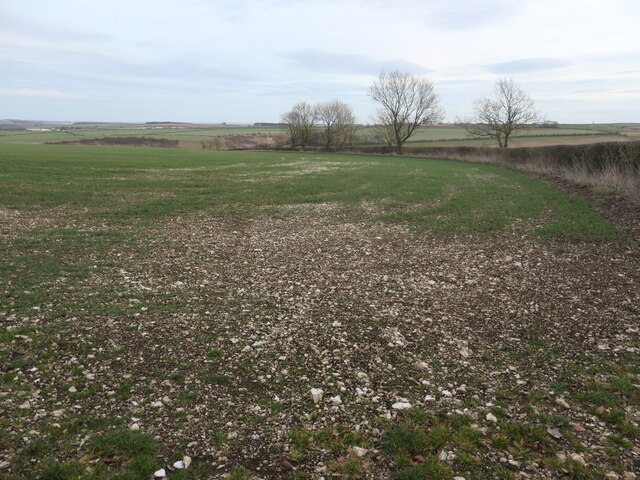
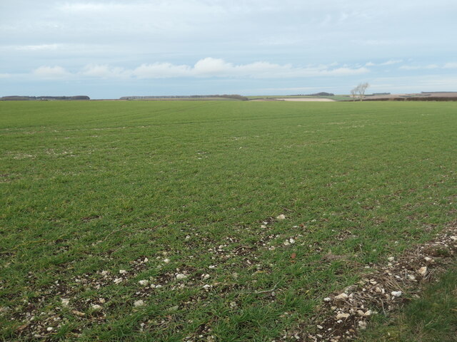
West Dale is a picturesque valley located in Yorkshire, England. Nestled amidst rolling hills and verdant landscapes, it is renowned for its natural beauty and tranquil ambiance. The valley stretches over several miles, encompassing a diverse range of flora and fauna.

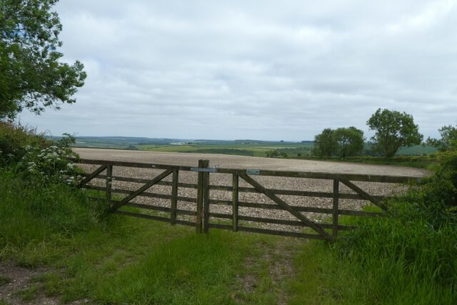
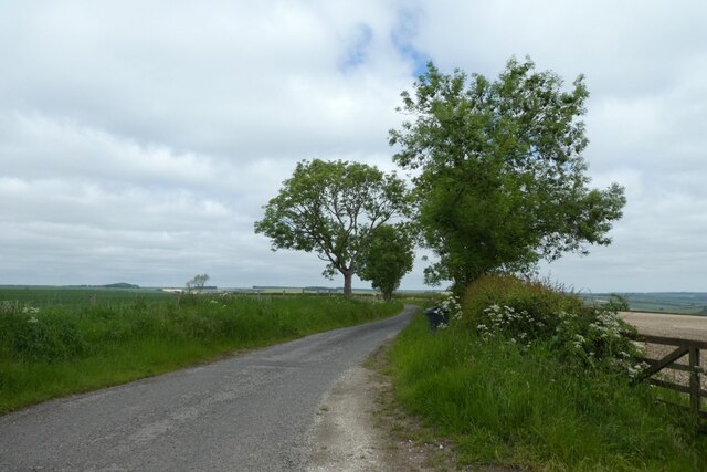
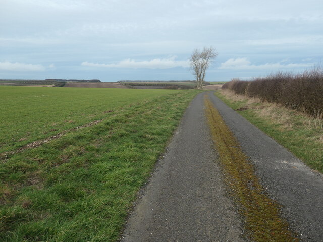
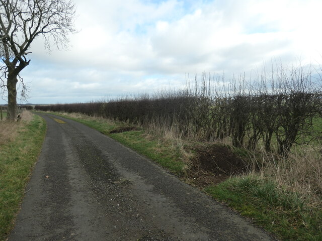
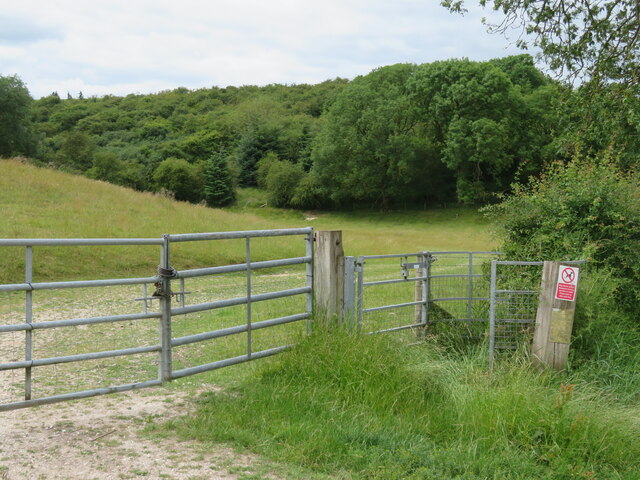
West Dale is characterized by its idyllic countryside charm and is a popular destination for nature enthusiasts and hikers. The valley boasts numerous walking trails, allowing visitors to explore its scenic wonders. Along these paths, one can encounter babbling brooks, ancient woodlands, and stunning panoramic views of the surrounding countryside.

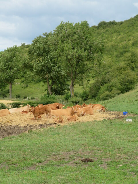
The valley is also home to a rich wildlife population, with various species of birds, mammals, and insects inhabiting its diverse ecosystems. Nature lovers can spot deer, rabbits, and a variety of bird species, including robins, sparrows, and owls.

West Dale is not only known for its natural splendor but also for its historical significance. The valley features several historic landmarks, including ancient ruins and stone circles, which provide a glimpse into its past. These remnants tell stories of ancient civilizations and offer a sense of wonder and intrigue to visitors.

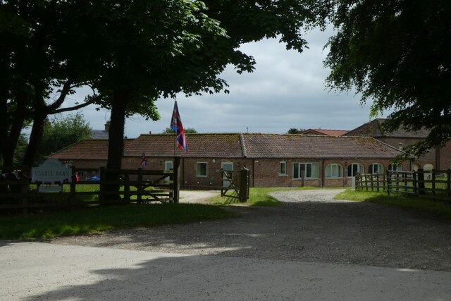
To cater to the needs of tourists, West Dale offers a range of amenities, including charming bed and breakfasts, cozy cottages, and traditional pubs serving locally sourced food and ale. Additionally, there are ample opportunities for outdoor activities such as fishing, cycling, and horseback riding.

In conclusion, West Dale, Yorkshire, is a captivating valley known for its breathtaking landscapes, abundant wildlife, and historical landmarks. Its charm and tranquility make it an ideal destination for those seeking a peaceful retreat amidst nature's beauty.

If you have any feedback on the listing, please let us know in the comments section below.
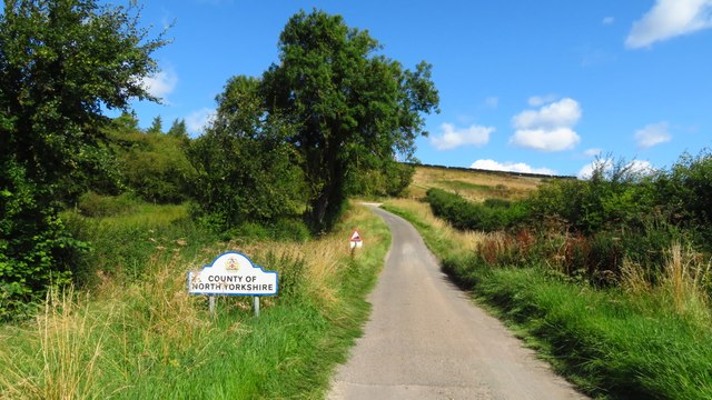
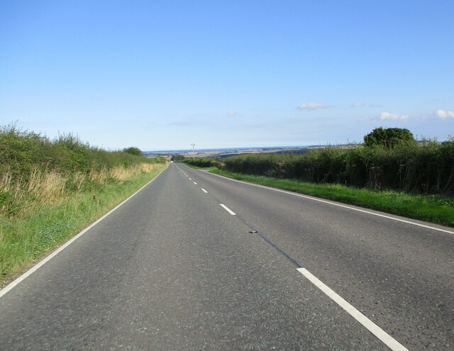
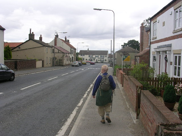
West Dale Images

Images are sourced within 2km of 54.021335/-0.68262559 or Grid Reference SE8659. Thanks to Geograph Open Source API. All images are credited.

Farmland near Gritts Farm Looking across cereal fields above Thixendale.
Farmland near Gritts Farm
Looking across cereal fields above Thixendale.
Thixendale Gritts Looking towards Thixendale Gritts along the road between Thixendale and Fridaythorpe.
Thixendale Gritts
Looking towards Thixendale Gritts along the road between Thixendale and Fridaythorpe.
Gates onto a chalky field To the east of Gritts Farm.
Gates onto a chalky field
To the east of Gritts Farm.
Road leading towards Thixendale On the right a track heads over farmland into Water Dale.
Road leading towards Thixendale
On the right a track heads over farmland into Water Dale.
Descending into Brubber Dale Looking along a road between Thixendale and Fridaythorpe.
Descending into Brubber Dale
Looking along a road between Thixendale and Fridaythorpe.
Road in Brubber Dale Looking along the road passing through Brubber Dale to Fridaythorpe.
Road in Brubber Dale
Looking along the road passing through Brubber Dale to Fridaythorpe.
Thixendale Road Looking along the road in Brubber Dale towards Fridaythorpe.
Thixendale Road
Looking along the road in Brubber Dale towards Fridaythorpe.
Disused Chalk Pit Looking towards Fridaythorpe along Thixendale Road.
Disused Chalk Pit
Looking towards Fridaythorpe along Thixendale Road.
Halifax bomber memorial Memorial to Halifax III HD-C NR179 of 466 Squadron RAAF which crashed on 3rd March 1945 at 1823.
Halifax bomber memorial
Memorial to Halifax III HD-C NR179 of 466 Squadron RAAF which crashed on 3rd March 1945 at 1823.
Chalky field near Gritts Farm The Yorkshire Wolds is the northernmost chalk landscape in Britain. The chalk is 400 metres thick.
Chalky field near Gritts Farm
The Yorkshire Wolds is the northernmost chalk landscape in Britain. The chalk is 400 metres thick.
Chalk grassland, north of Gritts Farm The Yorkshire Wolds is the northernmost chalk landscape in Britain. The chalk is 400 metres thick.
Chalk grassland, north of Gritts Farm
The Yorkshire Wolds is the northernmost chalk landscape in Britain. The chalk is 400 metres thick.
The no-through-road to Paradise Cottages Single-track, like all the roads round Thixendale. Classed as an 'other route with public access'.
The no-through-road to Paradise Cottages
Single-track, like all the roads round Thixendale. Classed as an 'other route with public access'.
Excavation on a lane verge, near Gritts Farm Every few yards along the lane, the verge has been scraped away. No idea why.
Excavation on a lane verge, near Gritts Farm
Every few yards along the lane, the verge has been scraped away. No idea why.
Fertiliser silos, Gritts Farm Each capable of holding 450 cubic metres.
Fertiliser silos, Gritts Farm
Each capable of holding 450 cubic metres.
Contented cattle What appears to be a suckler herd at a sunny spot in Brubber Dale.
Contented cattle
What appears to be a suckler herd at a sunny spot in Brubber Dale.
Brubber Dale path There's no public footpath along Brubber Dale from the Thixendale Road, but on both sides of the road there is open access land. That to the north side is a virtual cul-de-sac as there is no footpath at the lower end, but on this up dale side there is a link through to the Wolds Way path.
Brubber Dale path
There's no public footpath along Brubber Dale from the Thixendale Road, but on both sides of the road there is open access land. That to the north side is a virtual cul-de-sac as there is no footpath at the lower end, but on this up dale side there is a link through to the Wolds Way path.
On the Thixendale Road through Brubber Dale
Long  straight  east  of  Fridaythorpe  on  A166 Access road from Holmdale Farm to the right mid distance
Long straight east of Fridaythorpe on A166
Access road from Holmdale Farm to the right mid distance
Show me another place!

West Dale is located at Grid Ref: SE8659 (Lat: 54.021335, Lng: -0.68262559)

Division: East Riding

Unitary Authority: East Riding of Yorkshire

Police Authority: Humberside

What 3 Words

///gathers.nuzzling.unscrew. Near Fimber, East Yorkshire

Nearby Locations

Brubberdale Hill West Dale

Related Wikis

Fridaythorpe

Fridaythorpe is a village and civil parish in the East Riding of Yorkshire, England. It is situated approximately 8 miles (13 km) north-east of Pocklington...

Thixendale

Thixendale is a village and civil parish in North Yorkshire, England. Historically part of the East Riding of Yorkshire, it is located in the Yorkshire...

Burdale, North Yorkshire

Burdale is a hamlet in North Yorkshire, England, 8 miles (13 km) south-east of Malton. It lies in a deep valley (or dale), also known as Burdale, in the...

Burdale railway station

Burdale railway station was a station on the Malton and Driffield Junction Railway in North Yorkshire, England. == History and description == Burdale...

Nearby Amenities

Located within 500m of 54.021335,-0.68262559
Barrier: kissing_gate
Source: survey;gps
Lat/Long: 54.0225526/-0.6815817
Information: route_marker
Tourism: information
Lat/Long: 54.0225491/-0.6816024
Material: wood
Power: pole
Lat/Long: 54.0253616/-0.6799953
Material: wood
Power: pole
Lat/Long: 54.025487/-0.6815618
Material: wood
Power: pole
Lat/Long: 54.0256157/-0.6831258
Material: wood
Power: pole
Lat/Long: 54.0256786/-0.683927
The data included in this document is from www.openstreetmap.org. The data is made available under ODbL.

Have you been to West Dale?

Leave your review of West Dale below (or comments, questions and feedback).