Brubberdale Hill

Hill, Mountain in Yorkshire

England

Brubberdale Hill

Road climbing out of Thixendale This road heads to Fridaythorpe by the hilly route.
Road climbing out of Thixendale Credit: DS Pugh

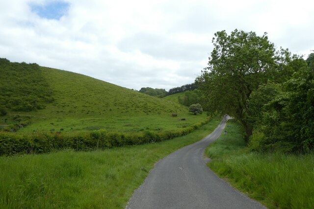
Brubberdale Hill, located in the picturesque region of Yorkshire, England, is a prominent geographical feature that attracts nature enthusiasts and hikers alike. Rising majestically to a height of 500 meters, it is classified as a hill rather than a mountain due to its moderate elevation. Nestled within the Yorkshire Dales National Park, Brubberdale Hill offers breathtaking panoramic views of the surrounding lush green valleys and rolling hills.

The hill is characterized by its distinctive geological composition, primarily consisting of rugged limestone and sandstone formations. These rocky outcrops create a unique terrain, providing a challenging yet rewarding hiking experience for outdoor enthusiasts. Its steep slopes and undulating pathways attract both seasoned hikers looking for a thrilling adventure and casual walkers seeking a leisurely stroll in nature's embrace.

The hill's diverse ecosystem is a haven for wildlife, with an array of native flora and fauna inhabiting its slopes. The area is home to a variety of bird species, including kestrels, buzzards, and peregrine falcons, making it a popular spot for birdwatchers. In addition, visitors may come across rabbits, foxes, and even the occasional deer during their explorations.

With its unspoiled natural beauty and tranquil atmosphere, Brubberdale Hill offers a perfect escape from the hustle and bustle of city life. The hill's hiking trails cater to a range of abilities, ensuring that visitors of all ages can enjoy the stunning surroundings. Whether it's a peaceful walk immersed in nature or an adrenaline-fueled ascent, Brubberdale Hill offers an unforgettable experience for anyone seeking solace in the grandeur of Yorkshire's countryside.

If you have any feedback on the listing, please let us know in the comments section below.

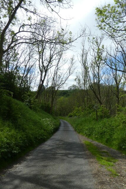
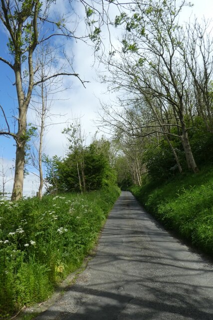
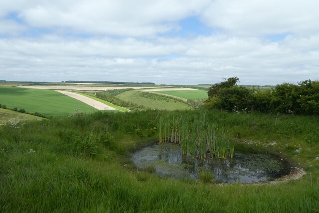
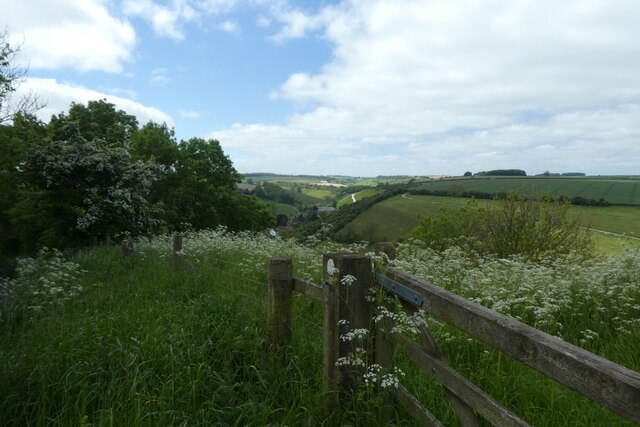
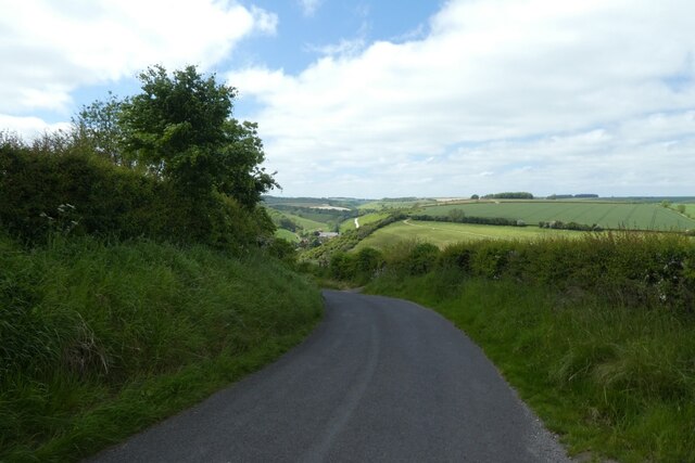
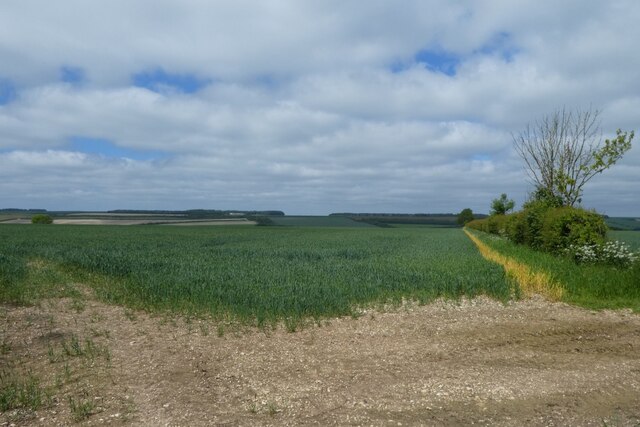
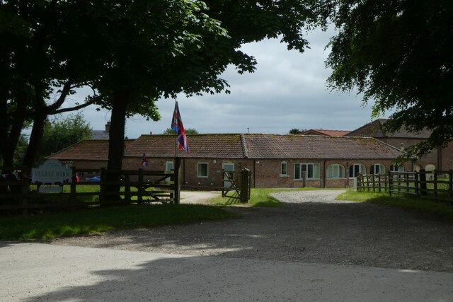
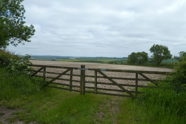
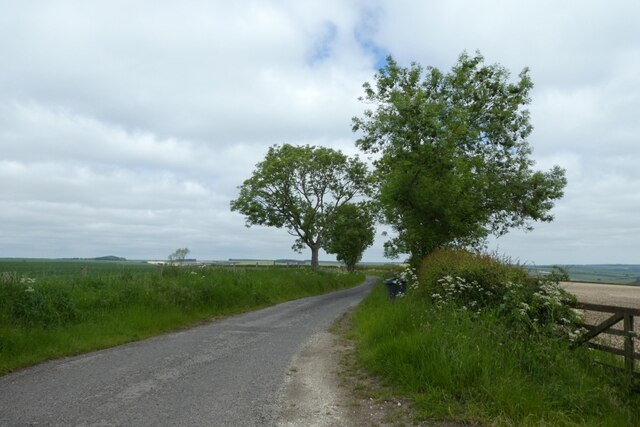
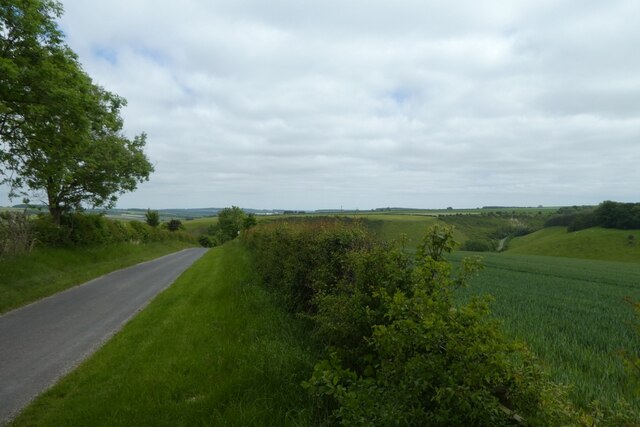
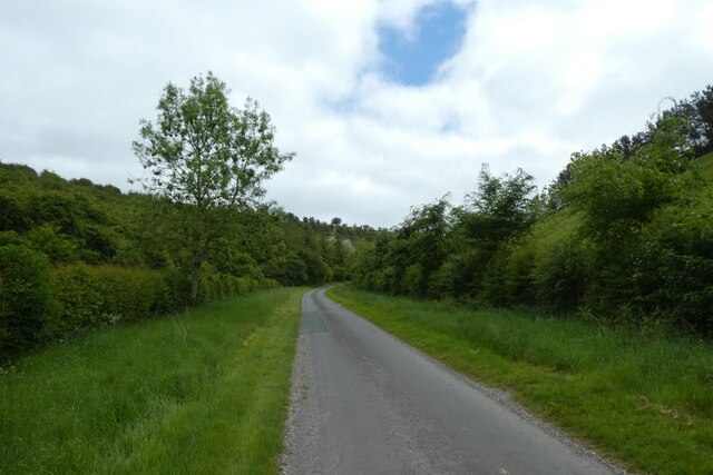
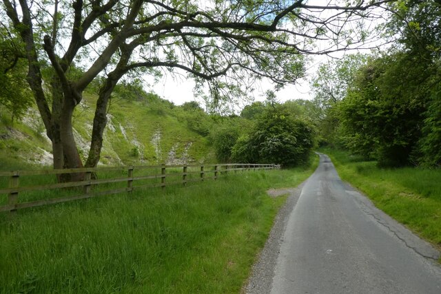
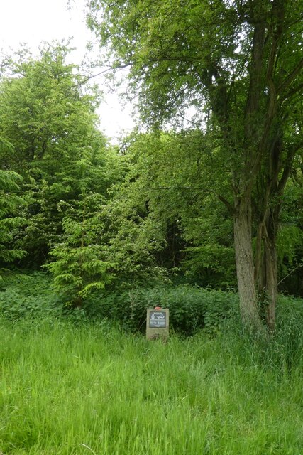
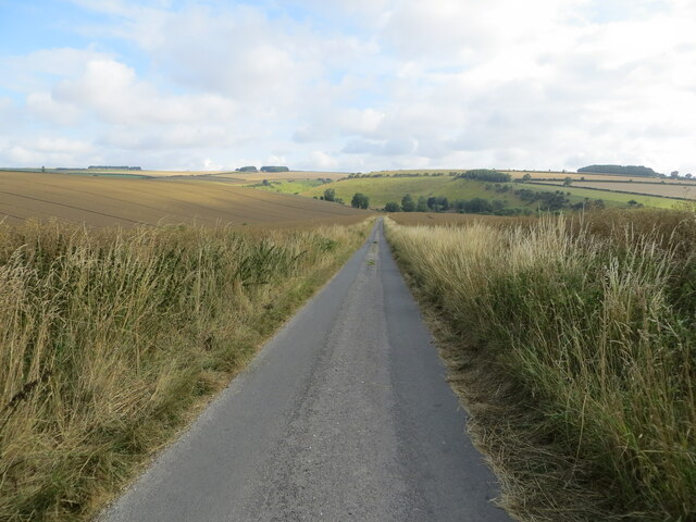
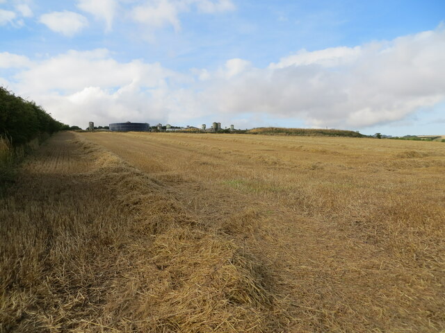
Brubberdale Hill Images

Images are sourced within 2km of 54.028534/-0.68335989 or Grid Reference SE8659. Thanks to Geograph Open Source API. All images are credited.

Road climbing out of Thixendale This road heads to Fridaythorpe by the hilly route.
Road climbing out of Thixendale
This road heads to Fridaythorpe by the hilly route.
Climbing the hill east of Thixendale This road is the hillier route to Fridaythorpe.
Climbing the hill east of Thixendale
This road is the hillier route to Fridaythorpe.
Pool above Thixendale Looking across Water Dale from a road leading up and out of the village towards Fridaythorpe.
Pool above Thixendale
Looking across Water Dale from a road leading up and out of the village towards Fridaythorpe.
Gate above Thixendale The gate is near to a small pond beside the road above the village.
Gate above Thixendale
The gate is near to a small pond beside the road above the village.
Road above Water Dale The road descends steeply into Thixendale.
Road above Water Dale
The road descends steeply into Thixendale.
Road towards Gritts Farm Looking along a road between Thixendale and Fridaythorpe.
Road towards Gritts Farm
Looking along a road between Thixendale and Fridaythorpe.
Walkers on the road Looking along a road leading to Thixendale from Fridaythorpe.
Walkers on the road
Looking along a road leading to Thixendale from Fridaythorpe.
Farmland near Gritts Farm Looking across cereal fields above Thixendale.
Farmland near Gritts Farm
Looking across cereal fields above Thixendale.
Thixendale Gritts Looking towards Thixendale Gritts along the road between Thixendale and Fridaythorpe.
Thixendale Gritts
Looking towards Thixendale Gritts along the road between Thixendale and Fridaythorpe.
Gates onto a chalky field To the east of Gritts Farm.
Gates onto a chalky field
To the east of Gritts Farm.
Road leading towards Thixendale On the right a track heads over farmland into Water Dale.
Road leading towards Thixendale
On the right a track heads over farmland into Water Dale.
Descending into Brubber Dale Looking along a road between Thixendale and Fridaythorpe.
Descending into Brubber Dale
Looking along a road between Thixendale and Fridaythorpe.
Road in Brubber Dale Looking along the road passing through Brubber Dale to Fridaythorpe.
Road in Brubber Dale
Looking along the road passing through Brubber Dale to Fridaythorpe.
Thixendale Road Looking along the road in Brubber Dale towards Fridaythorpe.
Thixendale Road
Looking along the road in Brubber Dale towards Fridaythorpe.
Disused Chalk Pit Looking towards Fridaythorpe along Thixendale Road.
Disused Chalk Pit
Looking towards Fridaythorpe along Thixendale Road.
Halifax bomber memorial Memorial to Halifax III HD-C NR179 of 466 Squadron RAAF which crashed on 3rd March 1945 at 1823.
Halifax bomber memorial
Memorial to Halifax III HD-C NR179 of 466 Squadron RAAF which crashed on 3rd March 1945 at 1823.
Minor road between Fridaythorpe and Burdale Looking north-westward from East Yorkshire into North Yorkshire. The boundary is just behind the photographer.
Minor road between Fridaythorpe and Burdale
Looking north-westward from East Yorkshire into North Yorkshire. The boundary is just behind the photographer.
Harvested cereal crop field leaving straw to be baled Looking south-westward towards Fridaythorpe Farm.
Harvested cereal crop field leaving straw to be baled
Looking south-westward towards Fridaythorpe Farm.
Show me another place!

Brubberdale Hill is located at Grid Ref: SE8659 (Lat: 54.028534, Lng: -0.68335989)

Division: East Riding

Unitary Authority: East Riding of Yorkshire

Police Authority: Humberside

What 3 Words

///hampers.amaze.clean. Near Fimber, East Yorkshire

Nearby Locations

West Dale Brubberdale Hill

Related Wikis

Fridaythorpe

Fridaythorpe is a village and civil parish in the East Riding of Yorkshire, England. It is situated approximately 8 miles (13 km) north-east of Pocklington...

Thixendale

Thixendale is a village and civil parish in North Yorkshire, England. Historically part of the East Riding of Yorkshire, it is located in the Yorkshire...

Burdale railway station

Burdale railway station was a station on the Malton and Driffield Junction Railway in North Yorkshire, England. == History and description == Burdale...

Burdale, North Yorkshire

Burdale is a hamlet in North Yorkshire, England, 8 miles (13 km) south-east of Malton. It lies in a deep valley (or dale), also known as Burdale, in the...

Nearby Amenities

Located within 500m of 54.028534,-0.68335989
Barrier: kissing_gate
Source: survey;gps
Lat/Long: 54.0252162/-0.6880481
Information: guidepost
Tourism: information
Lat/Long: 54.0252127/-0.688091
Artwork Type: acorn
Description: Mile sign for Wolds Way.
Information: artwork
Inscription: Hessle 40;Filey 39
Tourism: information
Lat/Long: 54.0251442/-0.6879005
Material: wood
Power: pole
Lat/Long: 54.0252421/-0.6784746
Material: wood
Power: pole
Lat/Long: 54.0253616/-0.6799953
Material: wood
Power: pole
Lat/Long: 54.025487/-0.6815618
Material: wood
Power: pole
Lat/Long: 54.0256157/-0.6831258
Material: wood
Power: pole
Lat/Long: 54.0256786/-0.683927
Material: wood
Power: pole
Lat/Long: 54.025742/-0.684716
Material: wood
Power: pole
Lat/Long: 54.0258128/-0.685593
Material: wood
Power: pole
Lat/Long: 54.0261266/-0.6882287
Material: wood
Power: pole
Lat/Long: 54.0259466/-0.6872576
Material: wood
Power: pole
Lat/Long: 54.0259977/-0.6892559
Material: wood
Power: pole
Lat/Long: 54.0262179/-0.68874
Material: wood
Power: pole
Lat/Long: 54.0267474/-0.6895629
Material: wood
Power: pole
Lat/Long: 54.0272429/-0.6903455
The data included in this document is from www.openstreetmap.org. The data is made available under ODbL.

Have you been to Brubberdale Hill?

Leave your review of Brubberdale Hill below (or comments, questions and feedback).