Whitmoor Vale

Valley in Surrey Waverley

England

Whitmoor Vale

Ridgemoor Close: June 2023
Ridgemoor Close: June 2023 Credit: Basher Eyre

Whitmoor Vale, located in Surrey, England, is a picturesque valley nestled amidst the rolling hills of the Surrey countryside. This tranquil and idyllic region is known for its stunning natural beauty, making it a popular destination for nature lovers and outdoor enthusiasts.

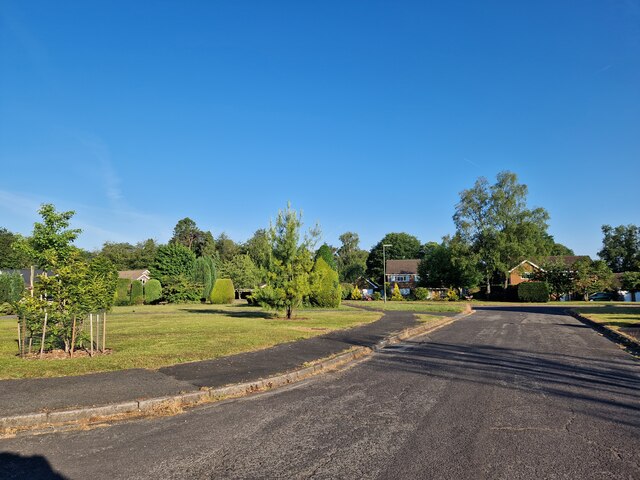
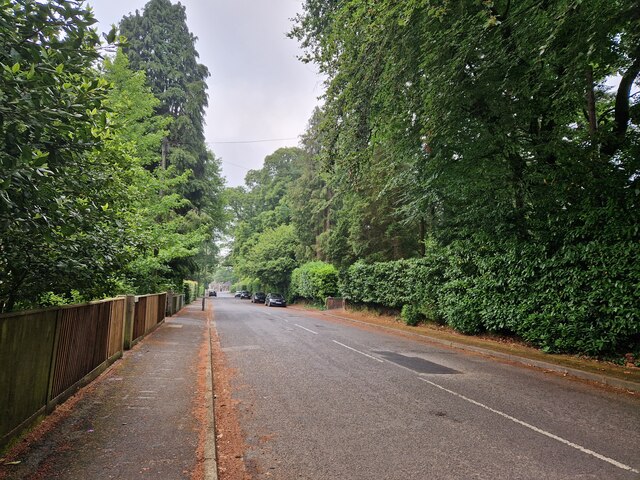
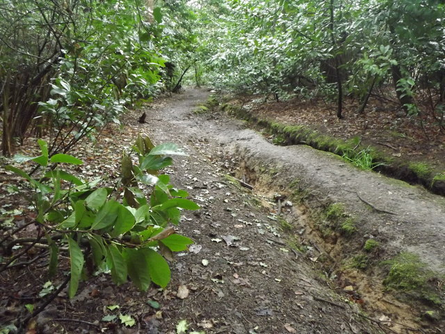
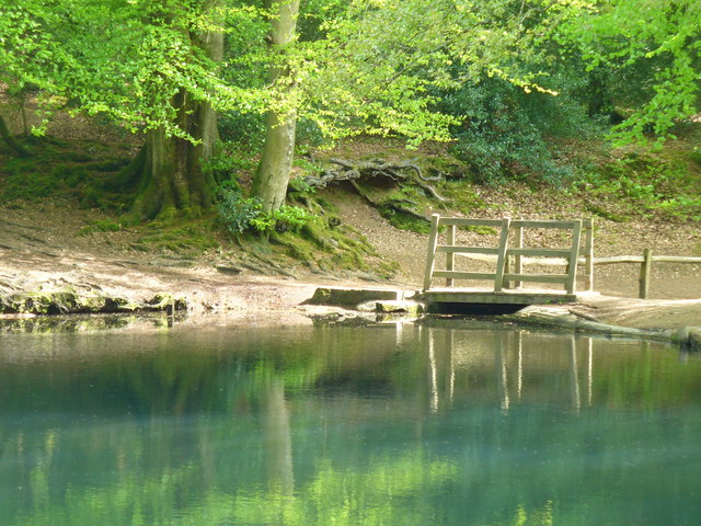
The valley is characterized by its lush greenery, with sprawling meadows, dense woodlands, and charming streams that meander through the landscape. The area is home to an abundance of wildlife, including deer, rabbits, and a variety of bird species, making it a haven for nature enthusiasts and birdwatchers.

Whitmoor Vale offers a range of recreational activities for visitors to enjoy. The valley is crisscrossed by a network of well-maintained walking and hiking trails, allowing visitors to explore the area's scenic beauty at their own pace. These trails provide access to breathtaking viewpoints, where one can admire panoramic vistas of the valley and the surrounding countryside.

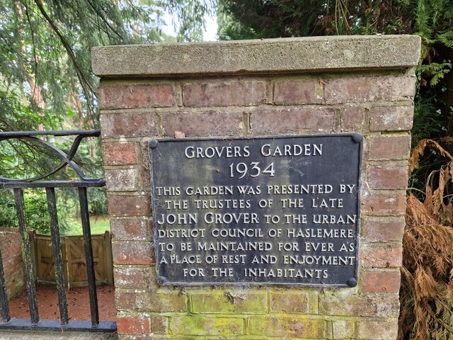
In addition to its natural attractions, Whitmoor Vale is also known for its historical significance. The valley is dotted with remnants of ancient settlements, including burial mounds and earthworks, providing a glimpse into the region's rich past.

For those seeking a peaceful retreat, Whitmoor Vale offers a range of accommodation options, including cozy cottages and bed and breakfasts. These establishments provide a comfortable base for visitors to relax and unwind after a day of exploring the valley.

Overall, Whitmoor Vale in Surrey is a haven of tranquility and natural beauty, offering visitors the opportunity to immerse themselves in the stunning landscapes and rich history of the region.

If you have any feedback on the listing, please let us know in the comments section below.

Whitmoor Vale Images

Images are sourced within 2km of 51.11761/-0.76759723 or Grid Reference SU8636. Thanks to Geograph Open Source API. All images are credited.

Ridgemoor Close: June 2023
Midsummer morning in Wood Road This year I am going to try and take a photo on all the days that end in 1. As well as this I shall say how many photos the site (and I) have bagged in 2023. For example, early on January 2nd I used the advanced search facility to discover that so far the site has 200 images for 2023 and I have 5. This I shall record from now on in the picture description.
Midsummer morning in Wood Road
This year I am going to try and take a photo on all the days that end in 1. As well as this I shall say how many photos the site (and I) have bagged in 2023. For example, early on January 2nd I used the advanced search facility to discover that so far the site has 200 images for 2023 and I have 5. This I shall record from now on in the picture description.
Commemorative plaque in Wood Road
Outside the Fox and Pelican This is now a Fullers pub, having been Gales before Fullers bought that brewery.  It is named after Bishop Fox of Winchester, who owned this land, and whose heraldic symbol was the pelican.  A pelican pecks its breast drawing blood, representing the blood of Christ.
Outside the Fox and Pelican
This is now a Fullers pub, having been Gales before Fullers bought that brewery. It is named after Bishop Fox of Winchester, who owned this land, and whose heraldic symbol was the pelican. A pelican pecks its breast drawing blood, representing the blood of Christ.
Path to Stoney Bottom There are small areas of woodland within the spread out housing of Grayshott.  Being on sandy soil the predominant species are conifers.
Path to Stoney Bottom
There are small areas of woodland within the spread out housing of Grayshott. Being on sandy soil the predominant species are conifers.
Path at Kingswood Firs There is a network of paths in the woodland between the spread out houses in this part of Grayshott.
Path at Kingswood Firs
There is a network of paths in the woodland between the spread out houses in this part of Grayshott.
Road at Kingswood Firs The houses in Grayshott and well spread out, behind high hedges on private roads like this.
Road at Kingswood Firs
The houses in Grayshott and well spread out, behind high hedges on private roads like this.
Wakeners' Wells The middle of the three ponds on a cold day.  Although it was sunny the sun was struggling to make an impact here.
Let's go for the original spelling of the name of the ponds, built in the 17th by the Hooke family, perhaps to act as hammer ponds for the iron industry but never used for that purpose.
Wakeners' Wells
The middle of the three ponds on a cold day. Although it was sunny the sun was struggling to make an impact here. Let's go for the original spelling of the name of the ponds, built in the 17th by the Hooke family, perhaps to act as hammer ponds for the iron industry but never used for that purpose.
Wakeners' Wells The middle of the three ponds on a cold day.  Although it was sunny the sun was struggling to make an impact here.  There are lots of paths on this common land.
Let's go for the original spelling of the name of the ponds, built in the 17th by the Hooke family, perhaps to act as hammer ponds for the iron industry but never used for that purpose.
Wakeners' Wells
The middle of the three ponds on a cold day. Although it was sunny the sun was struggling to make an impact here. There are lots of paths on this common land. Let's go for the original spelling of the name of the ponds, built in the 17th by the Hooke family, perhaps to act as hammer ponds for the iron industry but never used for that purpose.
Path towards Headley Down Ludshott Common, where we are walking, comes to an abrupt halt on its western side.  There are many house in Headley Down, and we just get a glimpse of one here.
Path towards Headley Down
Ludshott Common, where we are walking, comes to an abrupt halt on its western side. There are many house in Headley Down, and we just get a glimpse of one here.
Track on Ludshott Common The western and northern sides of the common are open, with good wide tracks (often bridleways) on sandy soil.
Track on Ludshott Common
The western and northern sides of the common are open, with good wide tracks (often bridleways) on sandy soil.
Entrance to Grayshott Hall Grayshott Hall is now a spa and expensive country retreat.
Entrance to Grayshott Hall
Grayshott Hall is now a spa and expensive country retreat.
Path to Whitmoor Vale There is a junction of paths here.  This one leads to Whitmoor Vale, the boundary between Hampshire and Surrey.  We did not take that route as our lunch was in Hampshire.
Path to Whitmoor Vale
There is a junction of paths here. This one leads to Whitmoor Vale, the boundary between Hampshire and Surrey. We did not take that route as our lunch was in Hampshire.
Beacon Hill Beacon Hill Road, the main shopping street in this residential area next to Hindhead.
Beacon Hill
Beacon Hill Road, the main shopping street in this residential area next to Hindhead.
Beacon Hill School Village school on Beacon Hill Road in the centre of the sprawling village.
Beacon Hill School
Village school on Beacon Hill Road in the centre of the sprawling village.
Hindhead Furnishing Beacon Hill village, next door to Hindhead, with a row of shops which look as though they occupy the ground floor of former houses.
Hindhead Furnishing
Beacon Hill village, next door to Hindhead, with a row of shops which look as though they occupy the ground floor of former houses.
Beacon Hill Village centre where Beacon Hill Road meets Churt Road. The village sign is on a traffic island in front of the estate agents.
Beacon Hill
Village centre where Beacon Hill Road meets Churt Road. The village sign is on a traffic island in front of the estate agents.
Sunken Footpath Clay-surfaced path following a valley bottom at Beacon Hill. Water has created deep channels beside the wooded footpath.
Sunken Footpath
Clay-surfaced path following a valley bottom at Beacon Hill. Water has created deep channels beside the wooded footpath.
Show me another place!

Whitmoor Vale is located at Grid Ref: SU8636 (Lat: 51.11761, Lng: -0.76759723)

Administrative County: Surrey

District: Waverley

Police Authority: Surrey

What 3 Words

///commoners.rollers.trustees. Near Churt, Surrey

Related Wikis

Beacon Hill (Hindhead, Surrey)

Beacon Hill, while ecumenically and administratively part of Hindhead, Surrey, is a discrete settlement with its own history, amenities and character....

Grayshott

Grayshott is a village and civil parish in the East Hampshire district of Hampshire, England. It is on the Hampshire / Surrey border 4 miles (6.4 km) northwest...

Ludshott Common and Waggoners Wells

Ludshott Common and Waggoners Wells (the latter sometimes written with an apostrophe: Waggoners' Wells) is a National Trust reserve; Ludshott Common is...

Barford, Hampshire

Barford is a scattered hamlet in the civil parish of Headley in the East Hampshire district of Hampshire, England. The village lies on the Hampshire-Surrey...

St Edmund's School, Hindhead

St Edmund's School is a coeducational nursery, pre-prep, preparatory and senior school located in Hindhead, Surrey, around 10.5 miles south-west from the...

Bramshott and Ludshott Commons

Bramshott and Ludshott Commons is a 374.4-hectare (925-acre) biological Site of Special Scientific Interest near Grayshott in Hampshire. It is part of...
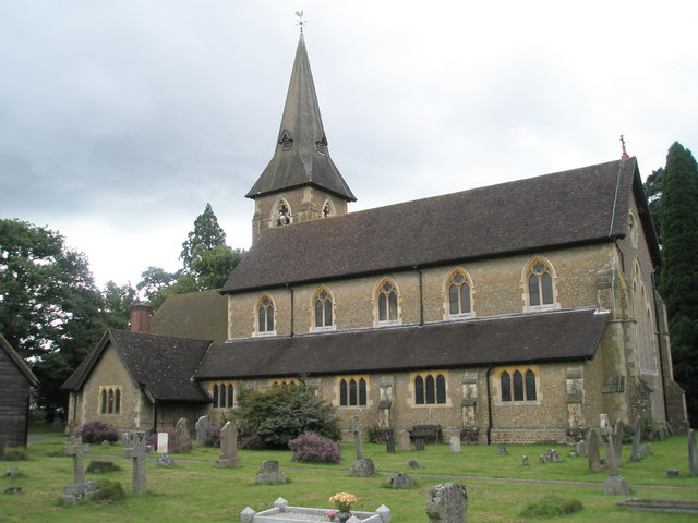
Churt

Churt is a village and civil parish in the borough of Waverley in Surrey, England, about 5.5 miles (8.9 km) south of the town of Farnham on the A287 road...

Headley Down

Headley Down is a village within the civil parish of Headley in the East Hampshire district of Hampshire, England, bounded on two sides by Ludshott Common...

Nearby Amenities

Located within 500m of 51.11761,-0.76759723
Beacon Hill
Natural: peak
Source: OS 1:25k
Lat/Long: 51.120506/-0.7628597
Whitmoor Bottom
Place: locality
Source: npe
Lat/Long: 51.117593/-0.7656534
Barrier: kissing_gate
Lat/Long: 51.1218867/-0.7664778
Post Box
Collection Times: Mo-Fr 16:15; Sa 08:00
Post Box Type: lamp
Ref: GU26 64
Royal Cypher: EIIR
Royal Cypher Wikidata: Q33102113
Source: survey
Lat/Long: 51.1159695/-0.7659986
The data included in this document is from www.openstreetmap.org. The data is made available under ODbL.

Have you been to Whitmoor Vale?

Leave your review of Whitmoor Vale below (or comments, questions and feedback).