Water Dale

Valley in Yorkshire Ryedale

England

Water Dale

Road near Martinholme Farm Looking along the road leading to Thixendale.
Road near Martinholme Farm Credit: DS Pugh

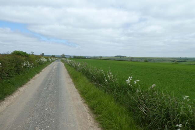
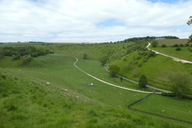
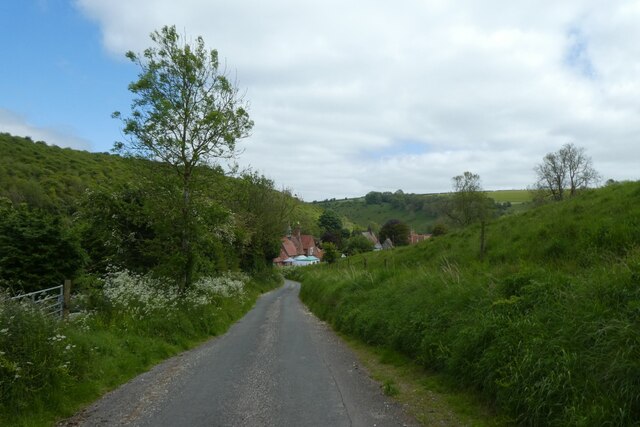
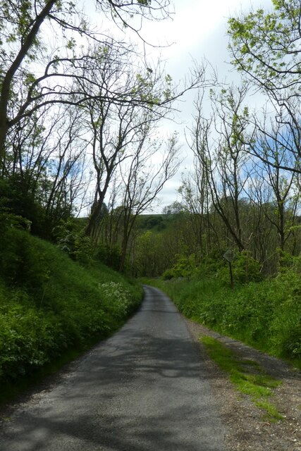
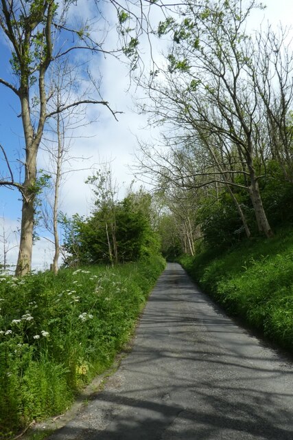
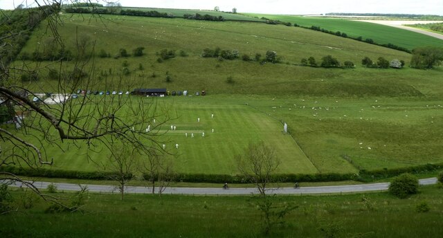
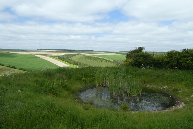
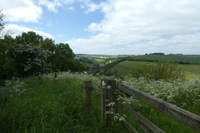
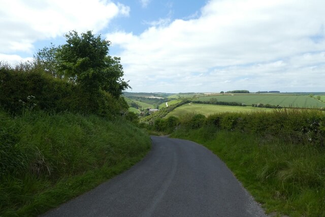
Water Dale is a picturesque valley located in the county of Yorkshire, England. Nestled amidst rolling green hills and bordered by quaint villages, this enchanting destination offers visitors a serene and idyllic escape from the bustle of city life.

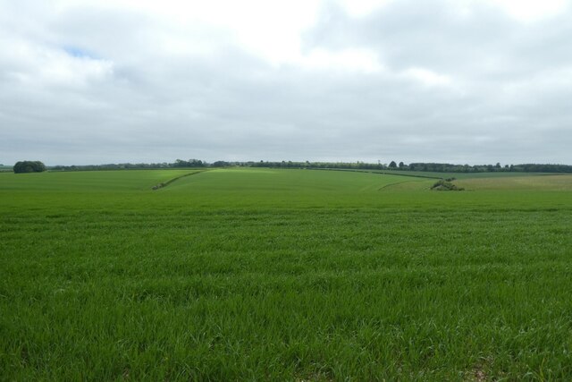
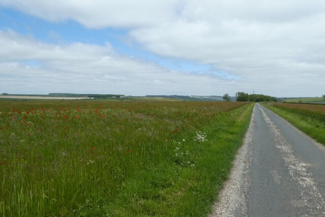
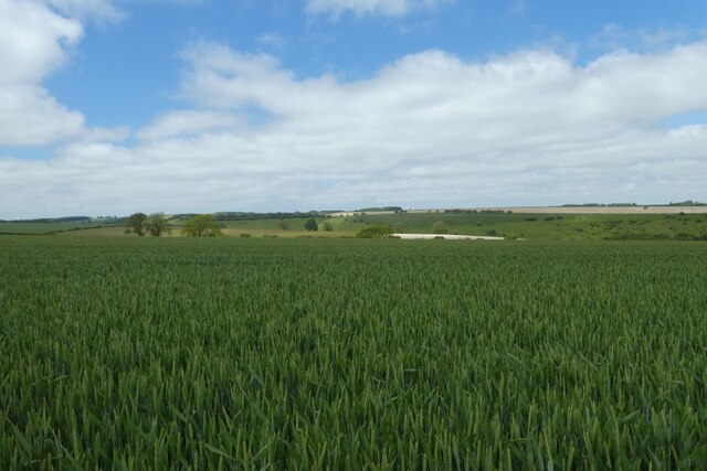
The valley is renowned for its stunning natural beauty, with a meandering river running through its heart. Lush vegetation, including ancient woodlands and vibrant wildflower meadows, adds to its allure. The river, known as Water Dale Beck, is a popular spot for leisurely walks and peaceful picnics along its banks.

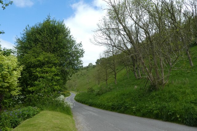
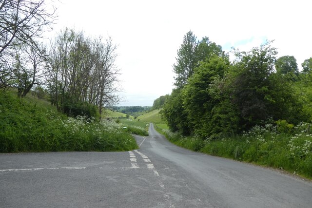
The surrounding countryside is a haven for outdoor enthusiasts, with an extensive network of hiking trails and cycling routes. Adventure seekers can explore the valley's rugged terrain, which provides breathtaking views from its lofty peaks. The valley is also home to a variety of wildlife, including deer, otters, and a multitude of bird species.

Water Dale boasts a rich history and is dotted with remnants of its past. Visitors can discover ancient stone circles, Roman ruins, and medieval castles that stand as testament to the valley's vibrant heritage. The nearby villages are home to charming historic buildings, cozy pubs, and traditional tea rooms, offering a glimpse into the region's traditional way of life.

With its stunning landscapes, abundant wildlife, and historical treasures, Water Dale is a hidden gem of Yorkshire. Whether visitors seek tranquility in nature or a journey through time, this valley offers an unforgettable experience for all who venture into its enchanting embrace.

If you have any feedback on the listing, please let us know in the comments section below.
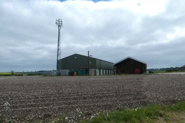
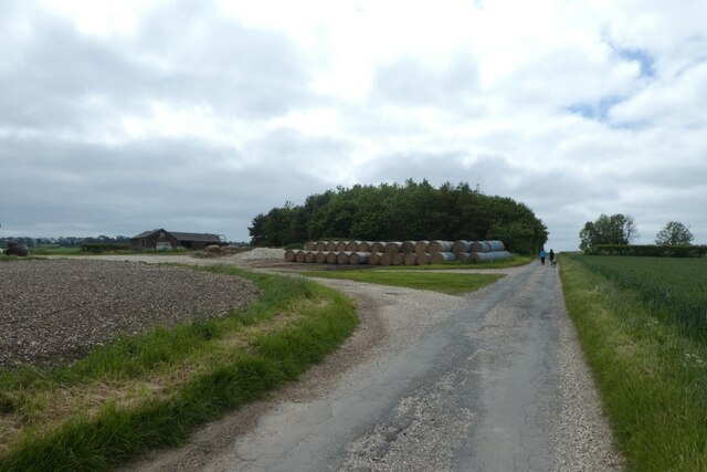
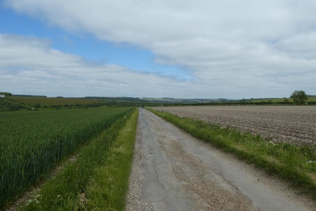
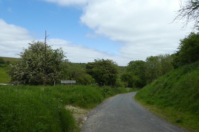
Water Dale Images

Images are sourced within 2km of 54.041937/-0.73122557 or Grid Reference SE8361. Thanks to Geograph Open Source API. All images are credited.

Road near Martinholme Farm Looking along the road leading to Thixendale.
Road near Martinholme Farm
Looking along the road leading to Thixendale.
Fields at Martinholme Looking into Long Dale from the road to Thixendale.
Fields at Martinholme
Looking into Long Dale from the road to Thixendale.
Poppies along the road to Thixendale Looking along the road as it starts to descend into the village.
Poppies along the road to Thixendale
Looking along the road as it starts to descend into the village.
Wheat fields above Thixendale Looking across farmland on the tops above the village.
Wheat fields above Thixendale
Looking across farmland on the tops above the village.
Farm buildings above Thixendale A communications mast and farm buildings standing above the village.
Farm buildings above Thixendale
A communications mast and farm buildings standing above the village.
Bales along the road from Thixendale Looking along the road heading away from the village.
Bales along the road from Thixendale
Looking along the road heading away from the village.
Wheat field beside the road Looking along the road as it descends into the village.
Wheat field beside the road
Looking along the road as it descends into the village.
Descending the road into Thixendale Dropping down to the village at the bottom of the dale.
Descending the road into Thixendale
Dropping down to the village at the bottom of the dale.
Steep sided valley Looking down into Thixen Dale to the west of the village.
Steep sided valley
Looking down into Thixen Dale to the west of the village.
Road coming into the village Looking along one of the roads coming into Thixendale.
Road coming into the village
Looking along one of the roads coming into Thixendale.
Road through Water Dale Looking along the road heading towards Fridaythorpe via Water Dale.
Road through Water Dale
Looking along the road heading towards Fridaythorpe via Water Dale.
Road through Thixen Dale With the steep road leading to Fridaythorpe on the left.
Road through Thixen Dale
With the steep road leading to Fridaythorpe on the left.
Road climbing out of Thixendale This road heads to Fridaythorpe by the hilly route.
Road climbing out of Thixendale
This road heads to Fridaythorpe by the hilly route.
Climbing the hill east of Thixendale This road is the hillier route to Fridaythorpe.
Climbing the hill east of Thixendale
This road is the hillier route to Fridaythorpe.
Cricket match from above Looking down on the cricket pitch in Thixendale from a road climbing steeply out of the village.
Cricket match from above
Looking down on the cricket pitch in Thixendale from a road climbing steeply out of the village.
Pool above Thixendale Looking across Water Dale from a road leading up and out of the village towards Fridaythorpe.
Pool above Thixendale
Looking across Water Dale from a road leading up and out of the village towards Fridaythorpe.
Gate above Thixendale The gate is near to a small pond beside the road above the village.
Gate above Thixendale
The gate is near to a small pond beside the road above the village.
Road above Water Dale The road descends steeply into Thixendale.
Road above Water Dale
The road descends steeply into Thixendale.
Show me another place!

Water Dale is located at Grid Ref: SE8361 (Lat: 54.041937, Lng: -0.73122557)

Division: East Riding

Administrative County: North Yorkshire

District: Ryedale

Police Authority: North Yorkshire

What 3 Words

///costumes.galaxy.shackles. Near Kirby Underdale, East Yorkshire

Nearby Locations

Water Dale Cow Wold

Related Wikis

Thixendale

Thixendale is a village and civil parish in North Yorkshire, England. Historically part of the East Riding of Yorkshire, it is located in the Yorkshire...

Buckrose

Buckrose was a wapentake of the historic East Riding of Yorkshire, England consisting of the north-west part of the county; its territory is now partly...

Uncleby

Uncleby is a hamlet in the East Riding of Yorkshire, England. It forms part of the civil parish of Kirby Underdale. It is situated approximately 6.5 miles...

Painsthorpe

Painsthorpe is a hamlet in the East Riding of Yorkshire, England. It is located about 1 mile (1.6 km) east of the village of Kirby Underdale, the area...

Nearby Amenities

Located within 500m of 54.041937,-0.73122557
Information: route_marker
Tourism: information
Lat/Long: 54.03998/-0.7249239
The data included in this document is from www.openstreetmap.org. The data is made available under ODbL.

Have you been to Water Dale?

Leave your review of Water Dale below (or comments, questions and feedback).