Vessey Pasture Dale
Valley in Yorkshire Ryedale
England
Vessey Pasture Dale
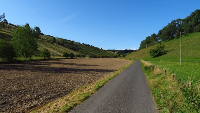
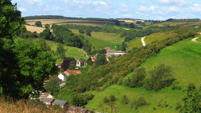
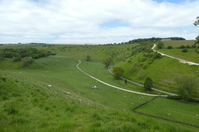
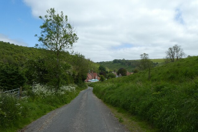
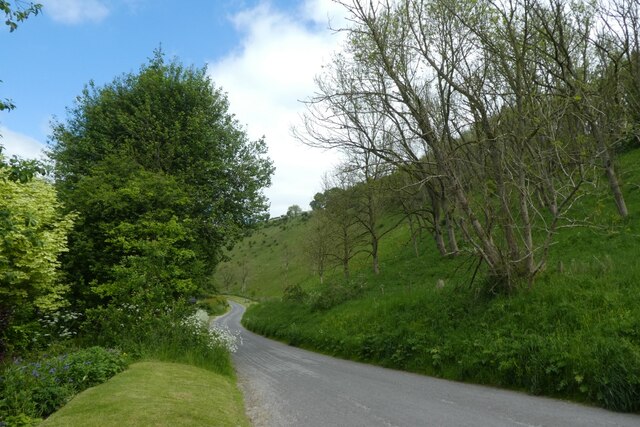
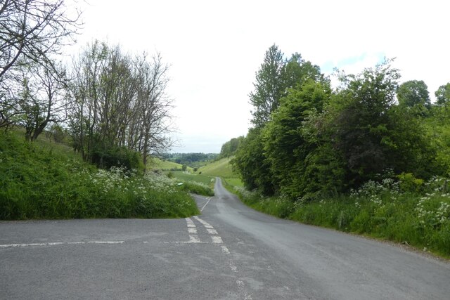
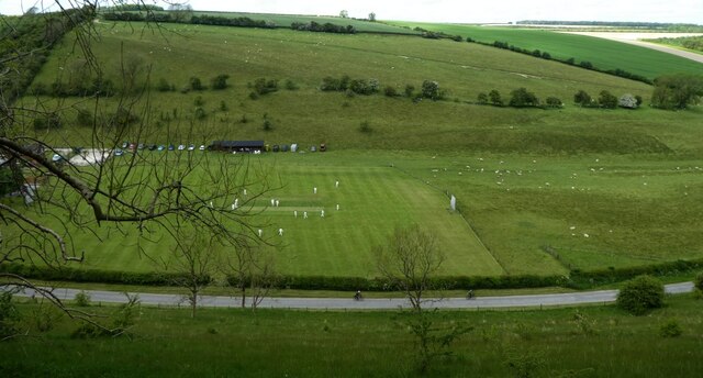
Vessey Pasture Dale is a picturesque valley located in the county of Yorkshire, England. Nestled amidst the rolling countryside, this hidden gem offers visitors a tranquil and serene escape from the hustle and bustle of city life.
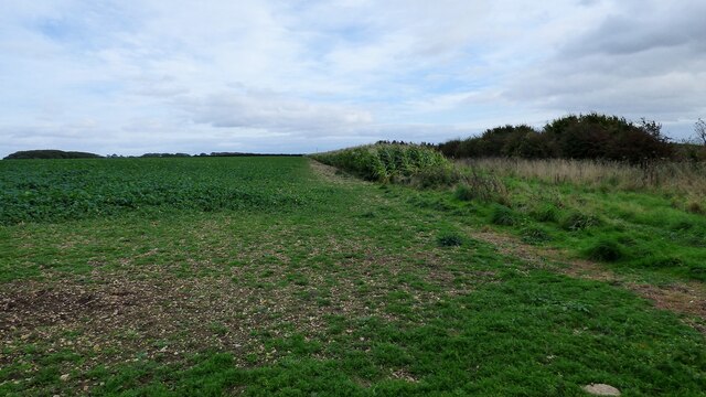
The dale is characterized by its lush green meadows, gently flowing streams, and towering limestone cliffs that provide a stunning backdrop to the landscape. The valley is home to a diverse range of flora and fauna, with wildflowers, ferns, and ancient oak trees dotting the landscape. The area is also a haven for birdwatchers, with numerous species of birds, including kestrels and buzzards, calling the dale their home.
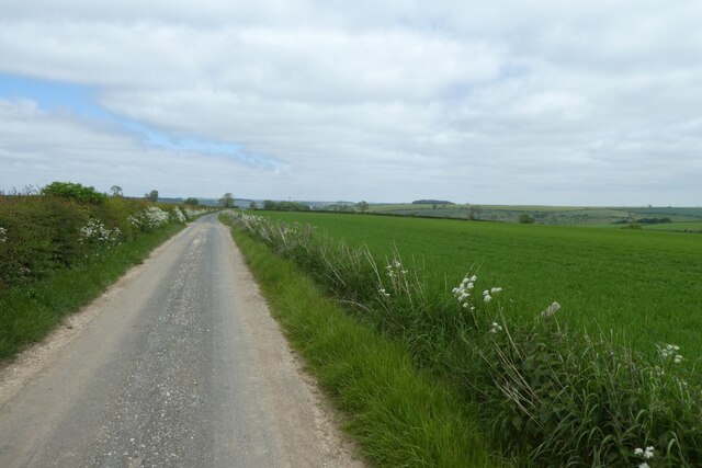
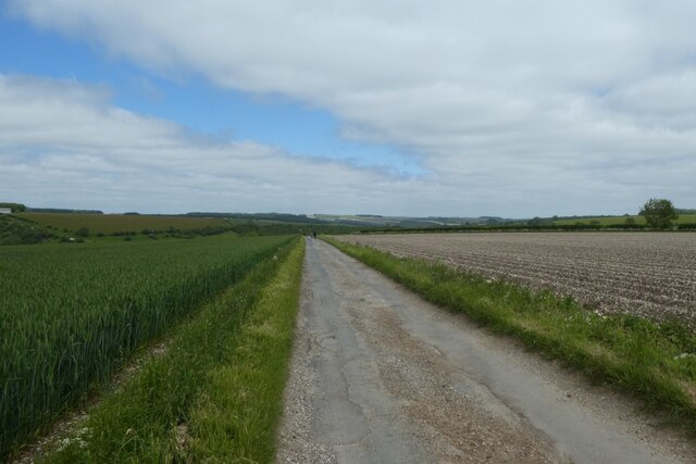
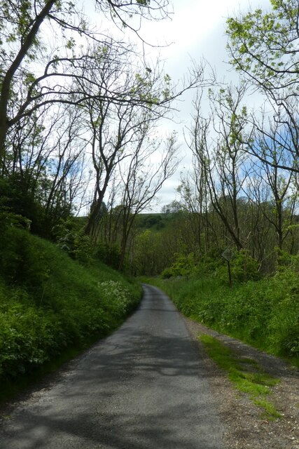
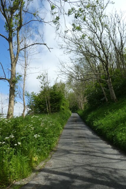
Vessey Pasture Dale is a paradise for hikers and nature enthusiasts, offering a network of well-maintained footpaths that wind their way through the valley. These paths lead visitors to breathtaking viewpoints, such as the famous Vessey Pasture Viewpoint, where one can admire the panoramic vistas of the surrounding countryside.
The dale is also rich in history and heritage, with several archaeological sites scattered throughout the area. These sites provide a glimpse into the lives of the early inhabitants of Yorkshire, with remnants of ancient settlements and burial mounds still visible today.
For those seeking a peaceful retreat, Vessey Pasture Dale is the perfect destination. Whether it's a leisurely stroll along the meandering streams or a challenging hike up the limestone cliffs, this idyllic valley offers something for everyone to enjoy.
If you have any feedback on the listing, please let us know in the comments section below.
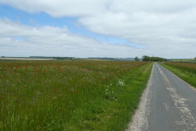
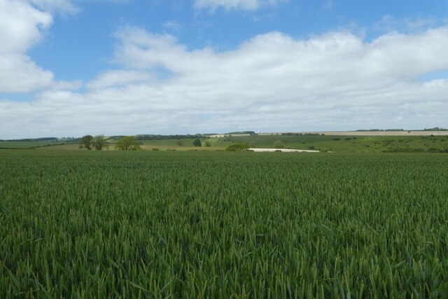
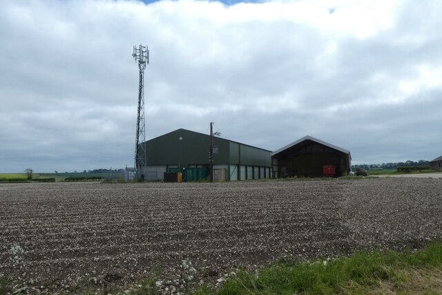
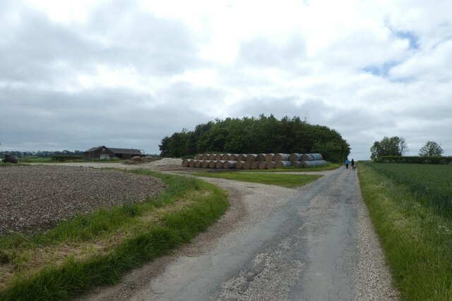
Vessey Pasture Dale Images
Images are sourced within 2km of 54.049415/-0.73115055 or Grid Reference SE8362. Thanks to Geograph Open Source API. All images are credited.

Vessey Pasture Dale is located at Grid Ref: SE8362 (Lat: 54.049415, Lng: -0.73115055)
Division: East Riding
Administrative County: North Yorkshire
District: Ryedale
Police Authority: North Yorkshire
What 3 Words
///intrigued.static.forge. Near Kirby Underdale, East Yorkshire
Nearby Locations
Related Wikis

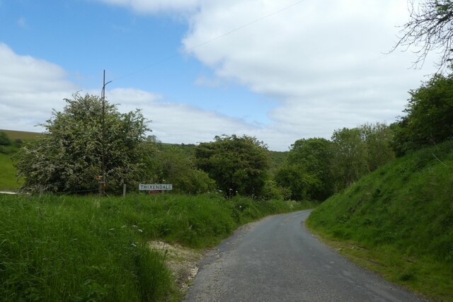
Thixendale
Thixendale is a village and civil parish in North Yorkshire, England. Historically part of the East Riding of Yorkshire, it is located in the Yorkshire...

Buckrose
Buckrose was a wapentake of the historic East Riding of Yorkshire, England consisting of the north-west part of the county; its territory is now partly...
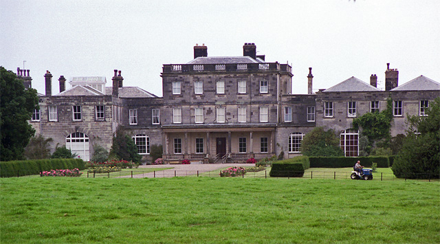
Birdsall House
Birdsall House is an English country house in Birdsall, North Yorkshire. It is a Grade II* listed building.The house dates from the late 16th century but...

Wharram Percy
Wharram Percy is a deserted medieval village and former civil parish near Wharram-le-Street, now in the parish of Wharram, on the western edge of the chalk...

Minster FM
Minster FM was an Independent Local Radio station serving York and the surrounding areas such as Selby, Tadcaster, Thirsk, Northallerton and Goole. The...
Wharram
Wharram is a civil parish in North Yorkshire, England. It lies on the Yorkshire Wolds, 6 miles (10 km) south-east of Malton. The principal settlement is...

Uncleby
Uncleby is a hamlet in the East Riding of Yorkshire, England. It forms part of the civil parish of Kirby Underdale. It is situated approximately 6.5 miles...
Birdsall, North Yorkshire
Birdsall is a village and civil parish in North Yorkshire, England. According to the 2001 census it had a population of 180, increasing to 343 at the 2011...
Nearby Amenities
Located within 500m of 54.049415,-0.73115055Have you been to Vessey Pasture Dale?
Leave your review of Vessey Pasture Dale below (or comments, questions and feedback).