Cow Wold

Downs, Moorland in Yorkshire Ryedale

England

Cow Wold

Maize windbreak at The Warrens
Maize windbreak at The Warrens Credit: Sandy Gerrard

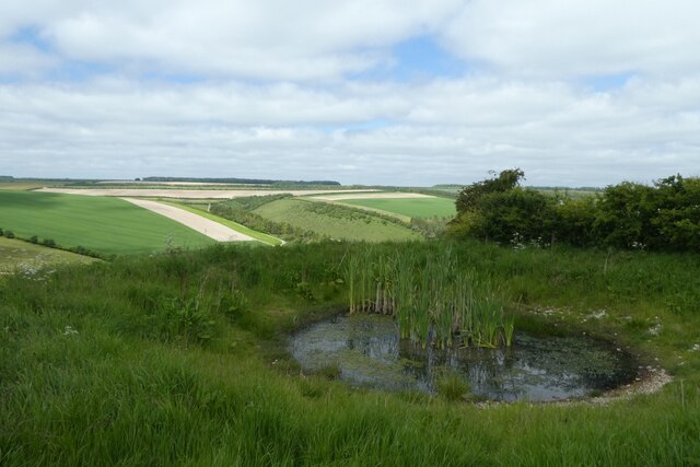
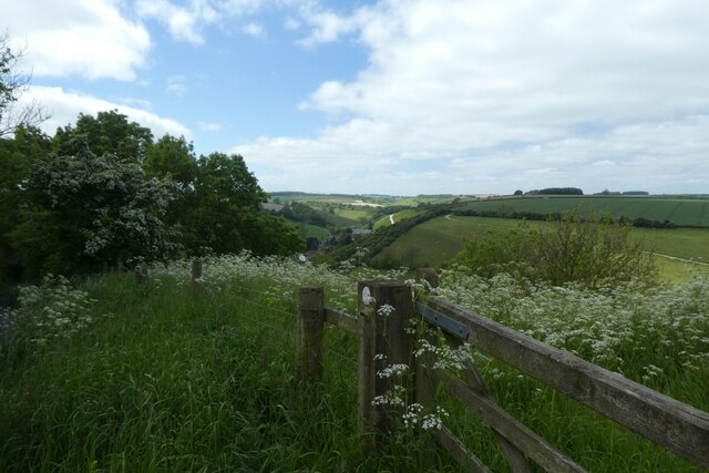
Cow Wold is a picturesque region located in the county of Yorkshire, England. Situated in the northern part of the Yorkshire Wolds, it is known for its diverse landscape, encompassing rolling downs and expansive moorland. The area is characterized by its undulating hills, lush green pastures, and breathtaking vistas, making it a popular destination for nature lovers and outdoor enthusiasts.

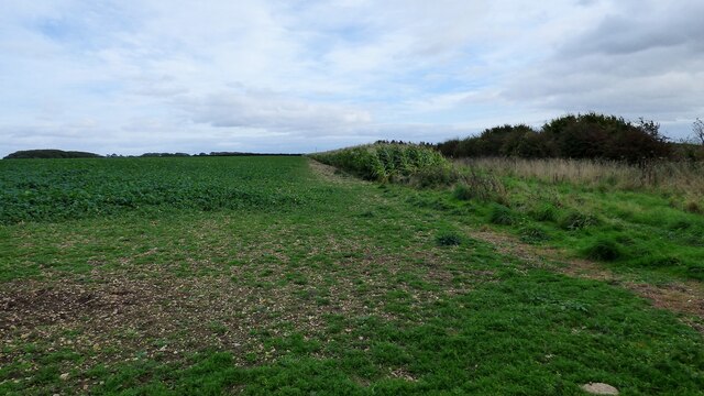
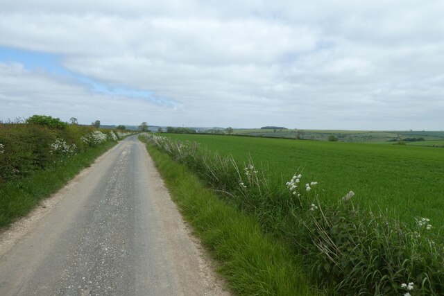
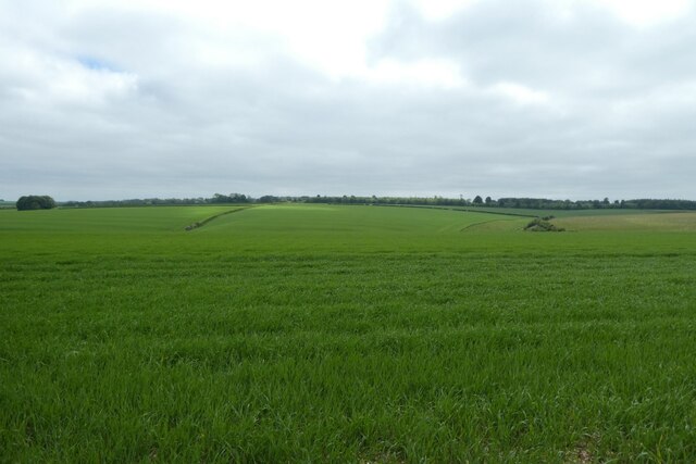
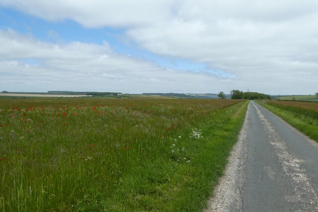
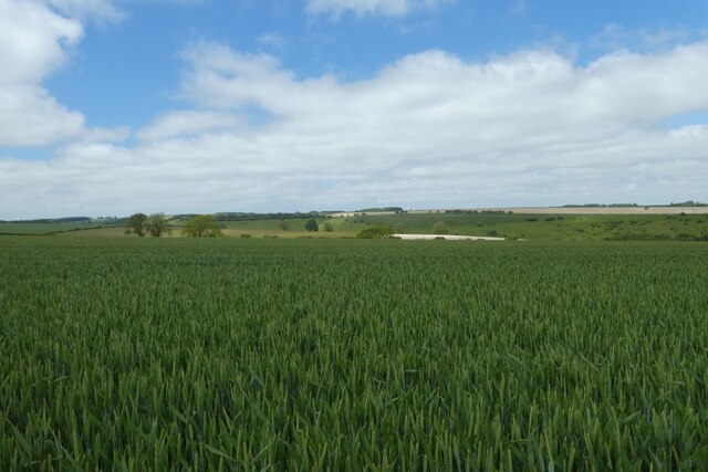
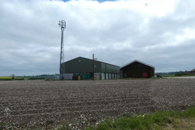
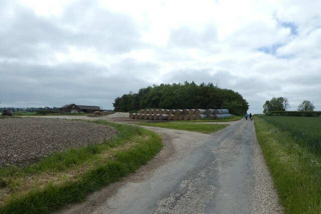
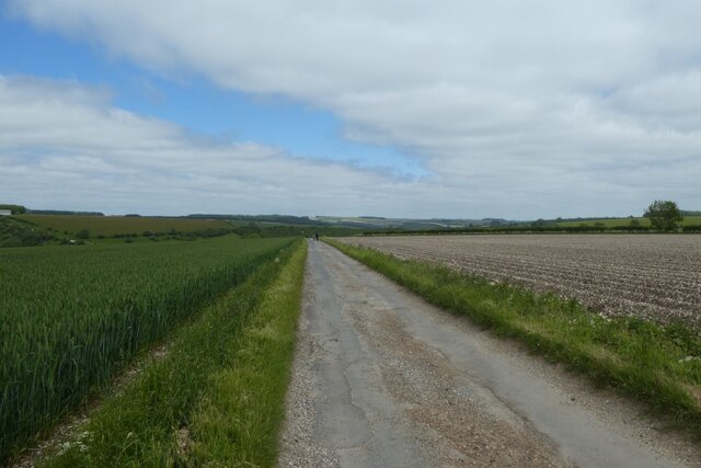
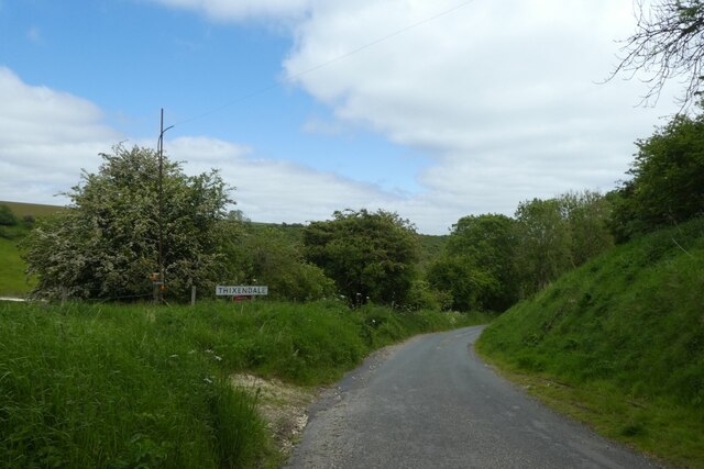
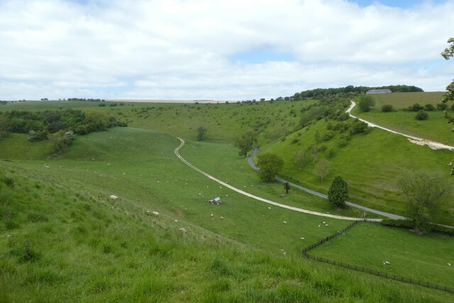
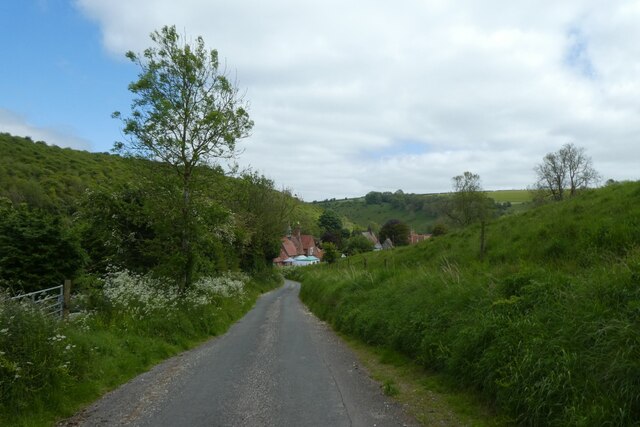
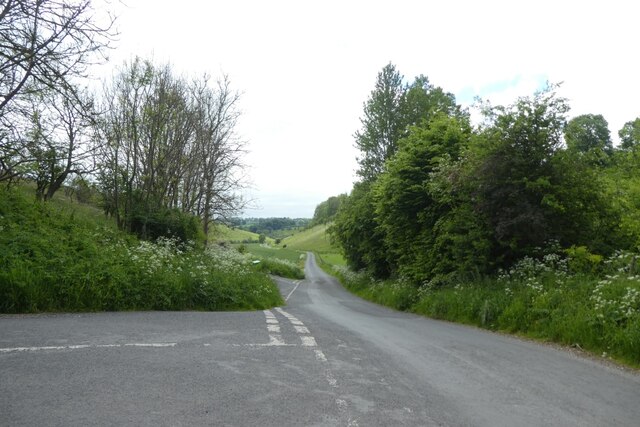
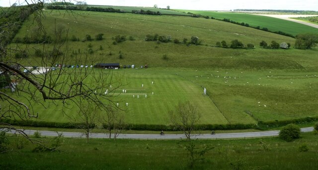
The downs of Cow Wold are marked by gently sloping hills and fertile farmland, dotted with charming villages and scattered farmhouses. The fertile soil supports a thriving agricultural industry, with sheep and cattle farming being the primary economic activities. The pastoral scenery is often depicted in paintings and photographs, capturing the timeless beauty of the region.

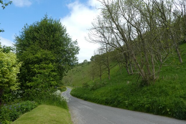
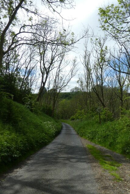
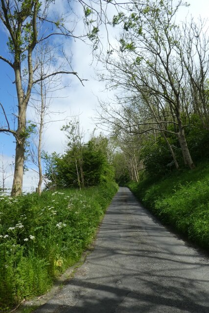
Moving towards the moorland, the landscape becomes more rugged and wild. The heather-clad expanses of Cow Wold Moor offer a stark contrast to the gentle downs. This untamed terrain is home to a variety of wildlife, including birds of prey such as kestrels and buzzards, along with small mammals like hares and rabbits. The moorland also boasts several walking trails and footpaths, allowing visitors to explore its natural wonders while enjoying panoramic views of the surrounding countryside.

In addition to its natural beauty, Cow Wold is steeped in history. The region is scattered with ancient archaeological sites, including burial mounds and iron-age forts, providing glimpses into its rich past. Visitors can also explore traditional market towns nearby, which offer a glimpse into the region's rural heritage and provide opportunities to experience local culture and cuisine.

Overall, Cow Wold, with its blend of downs and moorland, offers a unique and captivating experience for those seeking a retreat in the heart of Yorkshire's natural splendor.

If you have any feedback on the listing, please let us know in the comments section below.

Cow Wold Images

Images are sourced within 2km of 54.044031/-0.72517501 or Grid Reference SE8361. Thanks to Geograph Open Source API. All images are credited.

Maize windbreak at The Warrens
Road near Martinholme Farm Looking along the road leading to Thixendale.
Road near Martinholme Farm
Looking along the road leading to Thixendale.
Fields at Martinholme Looking into Long Dale from the road to Thixendale.
Fields at Martinholme
Looking into Long Dale from the road to Thixendale.
Poppies along the road to Thixendale Looking along the road as it starts to descend into the village.
Poppies along the road to Thixendale
Looking along the road as it starts to descend into the village.
Wheat fields above Thixendale Looking across farmland on the tops above the village.
Wheat fields above Thixendale
Looking across farmland on the tops above the village.
Farm buildings above Thixendale A communications mast and farm buildings standing above the village.
Farm buildings above Thixendale
A communications mast and farm buildings standing above the village.
Bales along the road from Thixendale Looking along the road heading away from the village.
Bales along the road from Thixendale
Looking along the road heading away from the village.
Wheat field beside the road Looking along the road as it descends into the village.
Wheat field beside the road
Looking along the road as it descends into the village.
Descending the road into Thixendale Dropping down to the village at the bottom of the dale.
Descending the road into Thixendale
Dropping down to the village at the bottom of the dale.
Steep sided valley Looking down into Thixen Dale to the west of the village.
Steep sided valley
Looking down into Thixen Dale to the west of the village.
Road coming into the village Looking along one of the roads coming into Thixendale.
Road coming into the village
Looking along one of the roads coming into Thixendale.
Road through Water Dale Looking along the road heading towards Fridaythorpe via Water Dale.
Road through Water Dale
Looking along the road heading towards Fridaythorpe via Water Dale.
Road through Thixen Dale With the steep road leading to Fridaythorpe on the left.
Road through Thixen Dale
With the steep road leading to Fridaythorpe on the left.
Road climbing out of Thixendale This road heads to Fridaythorpe by the hilly route.
Road climbing out of Thixendale
This road heads to Fridaythorpe by the hilly route.
Climbing the hill east of Thixendale This road is the hillier route to Fridaythorpe.
Climbing the hill east of Thixendale
This road is the hillier route to Fridaythorpe.
Cricket match from above Looking down on the cricket pitch in Thixendale from a road climbing steeply out of the village.
Cricket match from above
Looking down on the cricket pitch in Thixendale from a road climbing steeply out of the village.
Pool above Thixendale Looking across Water Dale from a road leading up and out of the village towards Fridaythorpe.
Pool above Thixendale
Looking across Water Dale from a road leading up and out of the village towards Fridaythorpe.
Gate above Thixendale The gate is near to a small pond beside the road above the village.
Gate above Thixendale
The gate is near to a small pond beside the road above the village.
Show me another place!

Cow Wold is located at Grid Ref: SE8361 (Lat: 54.044031, Lng: -0.72517501)

Division: East Riding

Administrative County: North Yorkshire

District: Ryedale

Police Authority: North Yorkshire

What 3 Words

///section.overdrive.photo. Near Kirby Underdale, East Yorkshire

Nearby Locations

Cow Wold Water Dale

Related Wikis

Thixendale

Thixendale is a village and civil parish in North Yorkshire, England. Historically part of the East Riding of Yorkshire, it is located in the Yorkshire...

Buckrose

Buckrose was a wapentake of the historic East Riding of Yorkshire, England consisting of the north-west part of the county; its territory is now partly...

Uncleby

Uncleby is a hamlet in the East Riding of Yorkshire, England. It forms part of the civil parish of Kirby Underdale. It is situated approximately 6.5 miles...

Wharram Percy

Wharram Percy is a deserted medieval village and former civil parish near Wharram-le-Street, now in the parish of Wharram, on the western edge of the chalk...

Nearby Amenities

Located within 500m of 54.044031,-0.72517501
Information: guidepost
Note: Signage for public bridleway only
Tourism: information
Lat/Long: 54.0401128/-0.7223447
Information: route_marker
Tourism: information
Lat/Long: 54.03998/-0.7249239
The data included in this document is from www.openstreetmap.org. The data is made available under ODbL.

Have you been to Cow Wold?

Leave your review of Cow Wold below (or comments, questions and feedback).