Howl Dale

Valley in Yorkshire Ryedale

England

Howl Dale

Goodhams Dale Trees on the western side of the very muddy Goodhams Dale.
Goodhams Dale Credit: T Eyre

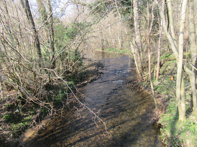
Howl Dale is a picturesque valley located in the county of Yorkshire, England. Nestled in the heart of the Yorkshire Dales National Park, this idyllic valley is renowned for its natural beauty and tranquil atmosphere.

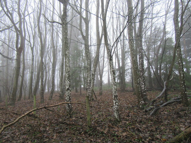
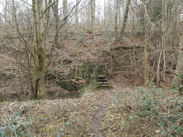
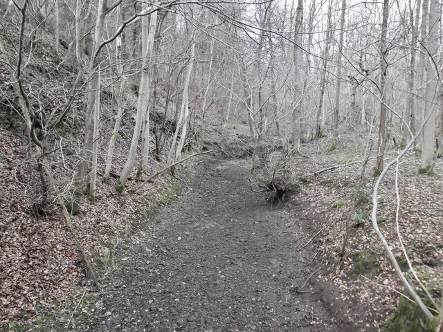
Surrounded by rolling hills and lush green meadows, Howl Dale offers visitors stunning views of the surrounding countryside. The valley is crisscrossed by numerous walking trails, allowing outdoor enthusiasts to explore the area's breathtaking landscapes. From leisurely strolls to challenging hikes, there is something for every level of fitness and interest.

Wildlife enthusiasts will also be delighted by the diverse range of flora and fauna found in Howl Dale. The valley is home to an array of bird species, including the elusive peregrine falcon and the iconic red kite. It is also a sanctuary for various mammals, such as rabbits, foxes, and deer.

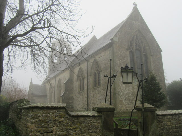
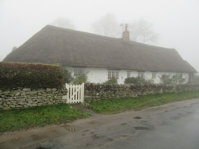
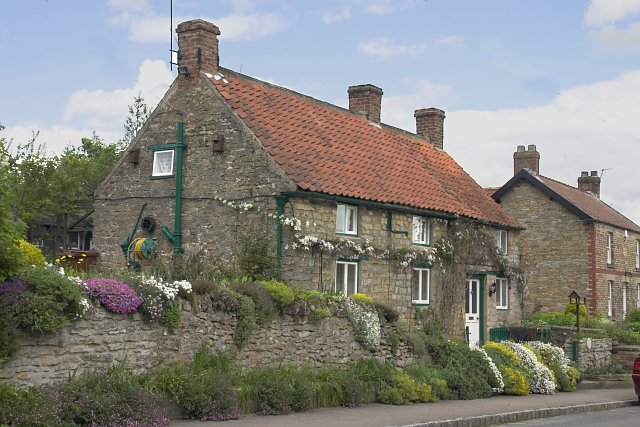
Howl Dale is not just a haven for nature lovers; it also boasts a rich cultural heritage. The valley is dotted with traditional stone cottages and historic landmarks, showcasing the area's deep-rooted history. Visitors can explore ancient ruins, visit charming villages, and learn about the region's past through local museums and exhibitions.

For those seeking a peaceful retreat, Howl Dale offers a chance to escape the hustle and bustle of everyday life. The valley's serene atmosphere and breathtaking scenery make it an ideal destination for those looking to reconnect with nature and find solace in its beauty.

In conclusion, Howl Dale in Yorkshire is a haven of natural beauty and tranquility, offering visitors a chance to immerse themselves in the stunning landscapes of the Yorkshire Dales National Park while also exploring the area's rich cultural heritage.

If you have any feedback on the listing, please let us know in the comments section below.
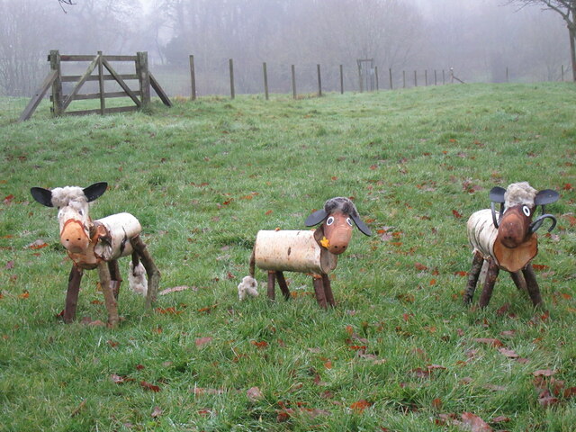
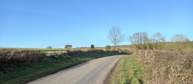
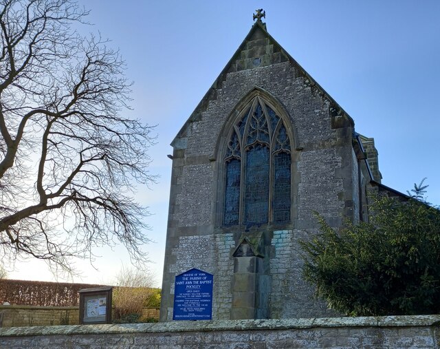
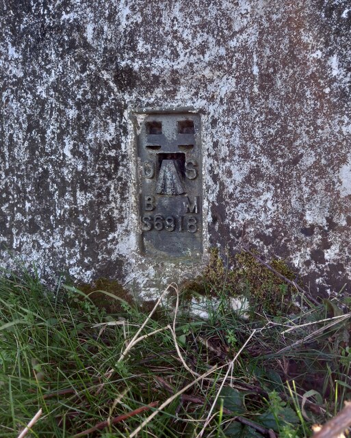
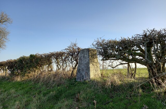
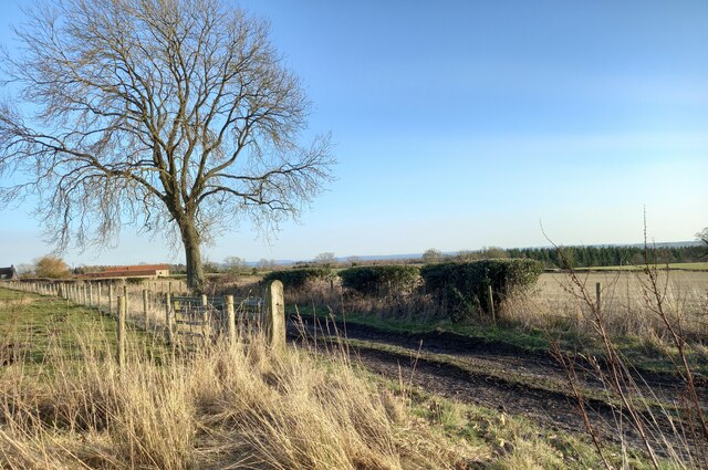
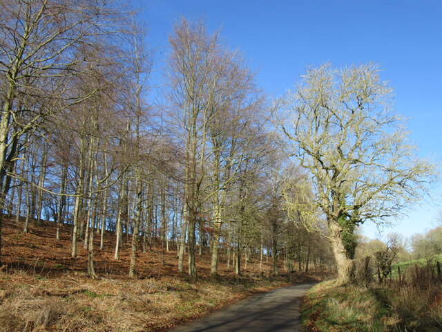
Howl Dale Images

Images are sourced within 2km of 54.26501/-1.0079401 or Grid Reference SE6485. Thanks to Geograph Open Source API. All images are credited.

Goodhams Dale Trees on the western side of the very muddy Goodhams Dale.
Goodhams Dale
Trees on the western side of the very muddy Goodhams Dale.
Pockley church The church in Pockley.
Pockley church
The church in Pockley.
Thatched house in Pockley Thatched house in Pockley.
Thatched house in Pockley
Thatched house in Pockley.
Rabbit statues Rabbit statues in Beadlam.
Rabbit statues
Rabbit statues in Beadlam.
Stickmen in Beadlam Stickmen in Beadlam.
Stickmen in Beadlam
Stickmen in Beadlam.
Sheep statues in Beadlam Three sheep statues in Beadlam.
Sheep statues in Beadlam
Three sheep statues in Beadlam.
Pockley, Sandpit Lane According to the OS benchmark database there was a field entrance with gateposts where the railed fence is now located. The gatepost had a benchmark. This has been destroyed.
Pockley, Sandpit Lane
According to the OS benchmark database there was a field entrance with gateposts where the railed fence is now located. The gatepost had a benchmark. This has been destroyed.
Pockley, St John's church The benchmark is cut into the east facing wall of the church.
Pockley, St John's church
The benchmark is cut into the east facing wall of the church.
Pockley, St John's church There is a benchmark cut into the east facing wall of the church, on a left hand cornerstone.
Pockley, St John's church
There is a benchmark cut into the east facing wall of the church, on a left hand cornerstone.
Pockley Trig Point The trig point at Pockley on the North Yorkshire Moors has the OS Flush Bracket S6918 embedded into its face.
Pockley Trig Point
The trig point at Pockley on the North Yorkshire Moors has the OS Flush Bracket S6918 embedded into its face.
Pockley, Trig Point The trig point, TP5481, at Pockley on the North Yorkshire Moors has the OS Flush Bracket S6918 embedded into its face.
Pockley, Trig Point
The trig point, TP5481, at Pockley on the North Yorkshire Moors has the OS Flush Bracket S6918 embedded into its face.
Pockley, farm track According to the OS benchmark database there was a benchmark cut into a post in this location. Nothing was found and we conclude the post and benchmark have been destroyed.
Pockley, farm track
According to the OS benchmark database there was a benchmark cut into a post in this location. Nothing was found and we conclude the post and benchmark have been destroyed.
Howldale Lane Howldale Lane in Howl Dale.
Howldale Lane
Howldale Lane in Howl Dale.
River Riccal Looking upstream from the bridge.
River Riccal
Looking upstream from the bridge.
Dandelions growing in tree You can see the Dandelions growing in this tree near Lund Head.
Dandelions growing in tree
You can see the Dandelions growing in this tree near Lund Head.
Footbridge over the River Riccal
River Riccal Totally dry in the first week in February
River Riccal
Totally dry in the first week in February
Village Signpost on Howldale Lane in Nawton Located on the west facing wall of a house on the northeast side of the junction of Howldale Lane and the A170 in Nawton parish. See also <a title="https://www.geograph.org.uk/photo/4773899" href="https://www.geograph.org.uk/photo/4773899">Link</a>.

Milestone Society National ID: YN_SE6584V
Village Signpost on Howldale Lane in Nawton
Located on the west facing wall of a house on the northeast side of the junction of Howldale Lane and the A170 in Nawton parish. See also Link. Milestone Society National ID: YN_SE6584V
Show me another place!

Howl Dale is located at Grid Ref: SE6485 (Lat: 54.26501, Lng: -1.0079401)

Division: North Riding

Administrative County: North Yorkshire

District: Ryedale

Police Authority: North Yorkshire

What 3 Words

///venturing.farmland.conqueror. Near Helmsley, North Yorkshire

Related Wikis

Pockley

Pockley is a small village and civil parish in North Yorkshire, England. It is about 1 mile north-east of Helmsley turning north from the A170 road. Its...

Beadlam

Beadlam is a village and civil parish in North Yorkshire, England. According to the 2001 census it had a population of 250, reducing to 229 at the Census...

Nawton, North Yorkshire

Nawton is a village and civil parish in the Ryedale district of North Yorkshire, England. It is situated on the A170 road, almost adjoining Beadlam, three...

Nawton railway station

Nawton railway station was a minor station serving the village of Nawton, North Yorkshire, England on the former Gilling and Pickering (G&P) line. ��2...
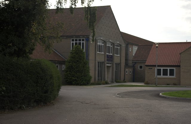
Ryedale School

Ryedale School, opened in 1953, is a coeducational secondary school located in Beadlam, North Yorkshire, England.The school provides for pupils aged 11...

Beadlam Roman villa

Beadlam Roman villa is a Roman villa on the east bank of the River Riccal in North Yorkshire, England. It is in the district of Ryedale between Helmsley...

Kirkdale, North Yorkshire

Kirkdale is a valley in North Yorkshire, England, which along with Sleightholmedale makes up the larger Bransdale and carries the Hodge Beck from its moorland...

Wombleton

Wombleton is a village and civil parish in North Yorkshire, England. It is situated just south from the main Thirsk to Scarborough road A170 road and...

Nearby Amenities

Located within 500m of 54.26501,-1.0079401
Bench
Lat/Long: 54.2654783/-1.0100858
Passing Place
Lat/Long: 54.2626988/-1.0021679
Barrier: horse_jump
Lat/Long: 54.266767/-1.0144435
Passing Place
Lat/Long: 54.2670256/-1.0102841
Barrier: stile
Step Count: 1
Stile: stepover
Lat/Long: 54.2670882/-1.0118299
The data included in this document is from www.openstreetmap.org. The data is made available under ODbL.

Have you been to Howl Dale?

Leave your review of Howl Dale below (or comments, questions and feedback).