Temples Wood
Wood, Forest in Yorkshire Ryedale
England
Temples Wood
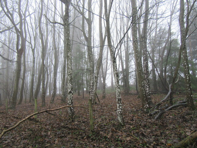
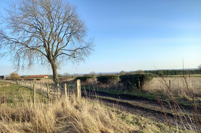
Temples Wood is a picturesque forest located in Yorkshire, England. Spread across an area of approximately 200 acres, this woodland is known for its serene beauty and diverse flora and fauna. It is situated near the village of Thixendale, within the Yorkshire Wolds, making it easily accessible for nature enthusiasts and hikers.
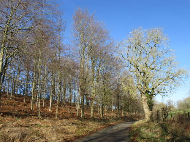
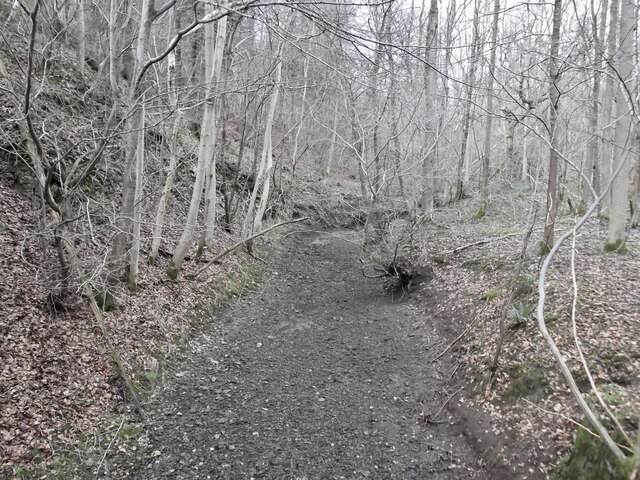
The wood is primarily composed of mixed deciduous trees, including oak, ash, beech, and birch, which create a rich tapestry of colors during autumn. The dense canopy provides shade and shelter for a variety of wildlife, including birds, mammals, and insects. Birdwatchers may spot species such as tawny owls, woodpeckers, and warblers, while deer, foxes, and badgers are known to inhabit the area.
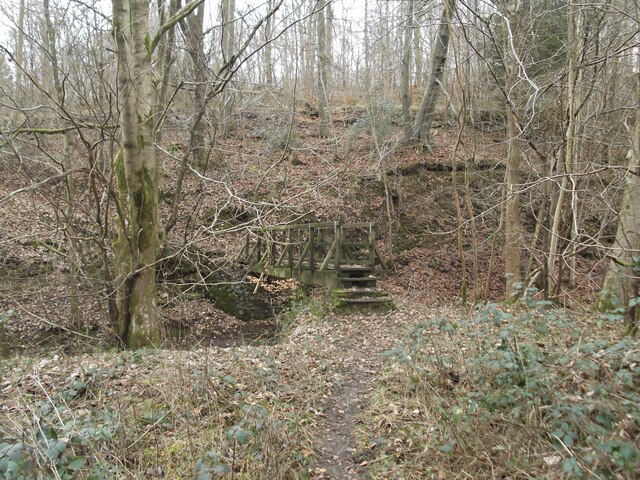
A network of well-maintained footpaths and trails wind through the wood, offering visitors the opportunity to explore its natural wonders at their leisure. The paths meander alongside babbling brooks and lead to hidden clearings, where one can relax and enjoy the tranquility of the surroundings.
Temples Wood is particularly renowned for its bluebells, which carpet the forest floor in a stunning display of vibrant colors during springtime. This attracts numerous visitors, photographers, and nature enthusiasts who come to witness this magical sight.
The wood also holds historical significance, with ancient burial mounds and remains of medieval ridge and furrow agriculture visible in certain areas. This adds an extra layer of interest and intrigue for those interested in the region's past.
Overall, Temples Wood is a captivating destination for anyone seeking solace in nature's embrace, offering a mix of scenic beauty, wildlife encounters, and a glimpse into the area's rich history.
If you have any feedback on the listing, please let us know in the comments section below.
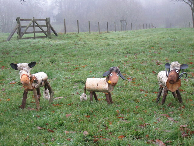
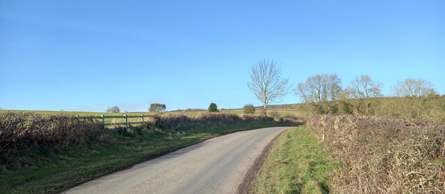
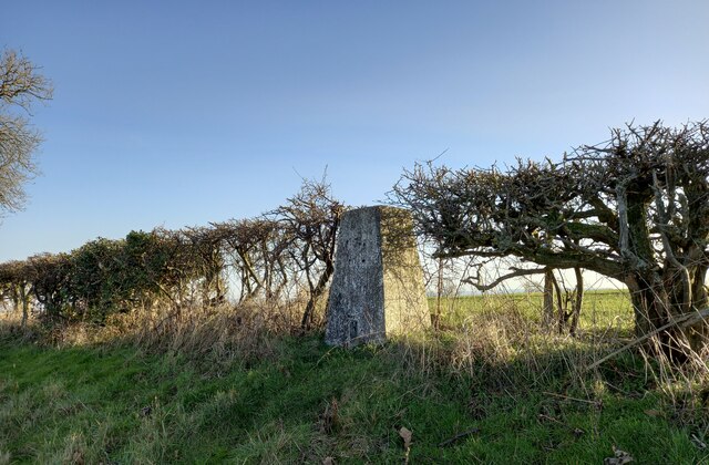
Temples Wood Images
Images are sourced within 2km of 54.263199/-1.0063408 or Grid Reference SE6485. Thanks to Geograph Open Source API. All images are credited.


Temples Wood is located at Grid Ref: SE6485 (Lat: 54.263199, Lng: -1.0063408)
Division: North Riding
Administrative County: North Yorkshire
District: Ryedale
Police Authority: North Yorkshire
What 3 Words
///woke.expecting.suspended. Near Helmsley, North Yorkshire
Nearby Locations
Related Wikis

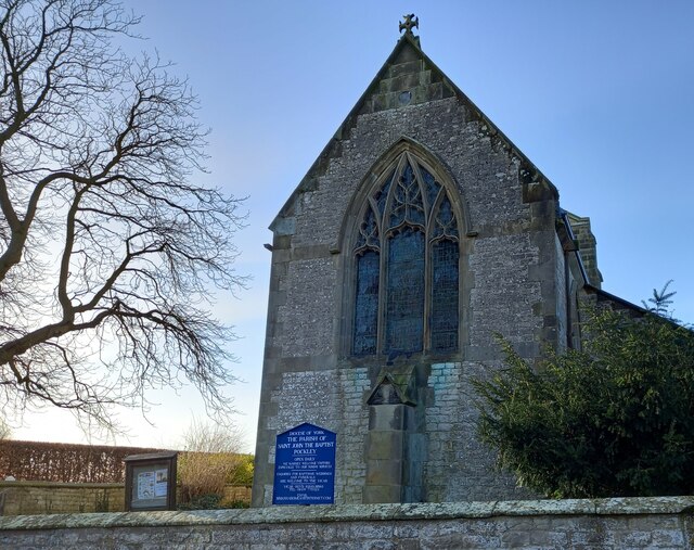
Pockley
Pockley is a small village and civil parish in North Yorkshire, England. It is about 1 mile north-east of Helmsley turning north from the A170 road. Its...
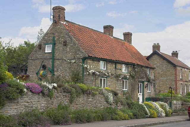
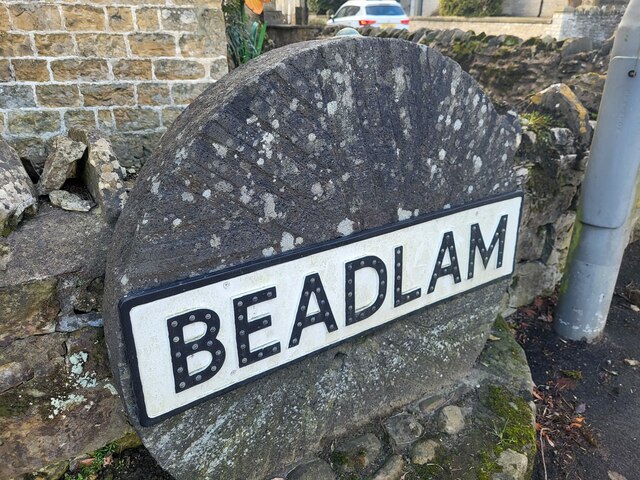
Beadlam
Beadlam is a village and civil parish in North Yorkshire, England. According to the 2001 census it had a population of 250, reducing to 229 at the Census...

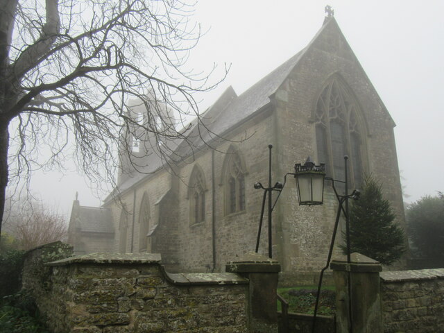
St Hilda's Church, Beadlam
St Hilda's Church is the parish church of Beadlam, a village in North Yorkshire in England. The church was constructed in 1882, to a design by Charles...

Nawton, North Yorkshire
Nawton is a village and civil parish in the Ryedale district of North Yorkshire, England. It is situated on the A170 road, almost adjoining Beadlam, three...
Nearby Amenities
Located within 500m of 54.263199,-1.0063408Have you been to Temples Wood?
Leave your review of Temples Wood below (or comments, questions and feedback).