The Shrubbery
Wood, Forest in Leicestershire Harborough
England
The Shrubbery

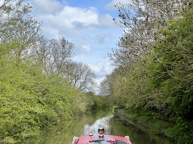
The Shrubbery in Leicestershire, also known as The Shrubbery Wood or The Shrubbery Forest, is a stunning natural area located in the heart of Leicestershire, England. Spanning approximately 200 acres, it is a renowned destination for nature enthusiasts and outdoor lovers.
The Shrubbery is characterized by its dense woodland, featuring a diverse range of trees including oak, beech, and ash. The forest floor is covered in a lush carpet of ferns, bluebells, and wildflowers, adding to the enchanting atmosphere of the wood. The variety of flora provides a haven for numerous species of wildlife, making it a popular spot for birdwatching and animal spotting.
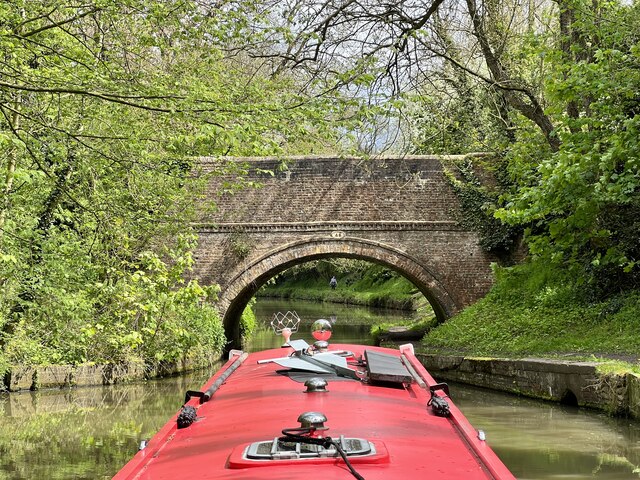
Traversing through The Shrubbery, visitors can follow a network of well-maintained footpaths and trails that wind through the forest, offering an opportunity to explore its natural beauty. The wood is well-known for its peaceful ambiance, with the rustling leaves and gentle birdsong providing a tranquil backdrop to any visit.
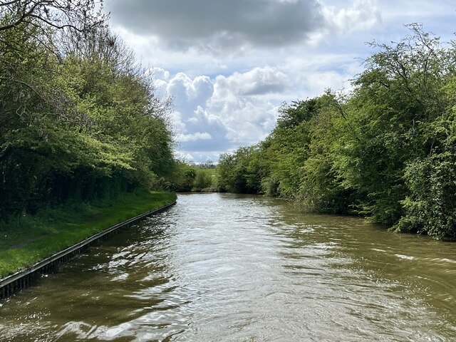
The Shrubbery also boasts a small lake, which serves as a focal point for visitors seeking a serene spot to relax and enjoy the surroundings. The lake is home to a vibrant display of water lilies and aquatic life, further enhancing the charm of the area.
Located just a short distance from the bustling town of Leicestershire, The Shrubbery offers a welcome escape from the urban environment. Its accessibility and natural appeal make it a perfect destination for nature walks, picnics, and family outings. Whether seeking solitude or an active day out, The Shrubbery in Leicestershire is a must-visit for nature enthusiasts and those looking to immerse themselves in the beauty of the English countryside.
If you have any feedback on the listing, please let us know in the comments section below.
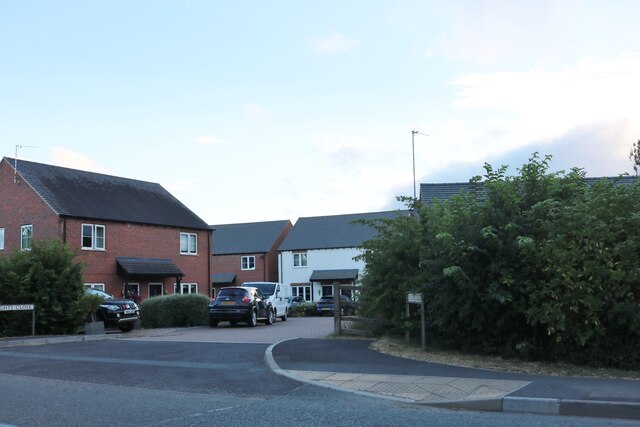
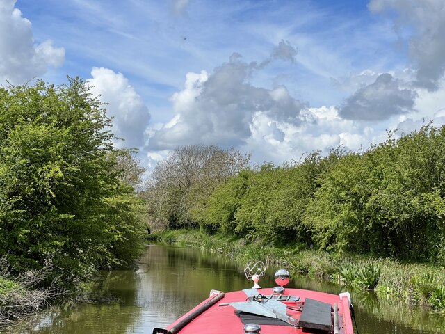
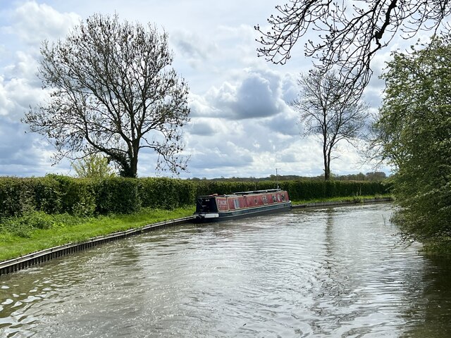
The Shrubbery Images
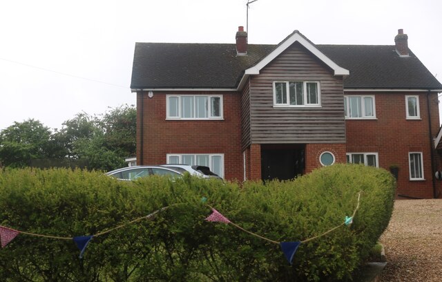
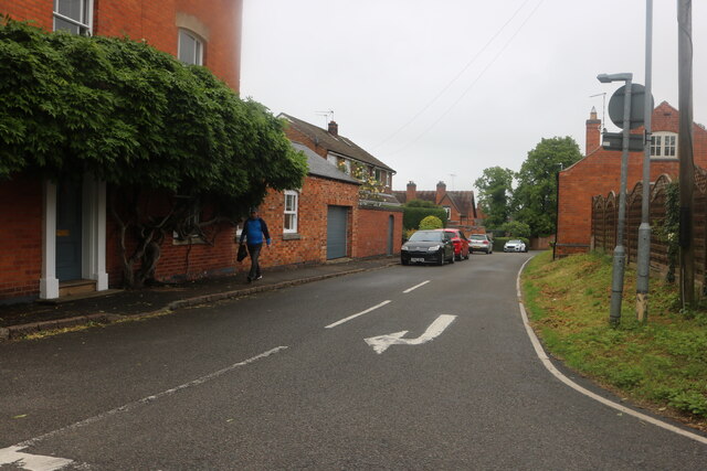
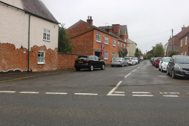
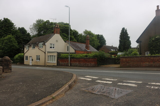
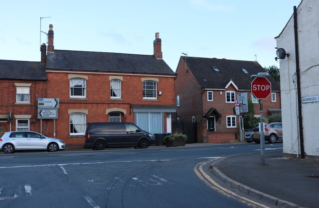
Images are sourced within 2km of 52.454679/-1.0474448 or Grid Reference SP6484. Thanks to Geograph Open Source API. All images are credited.


The Shrubbery is located at Grid Ref: SP6484 (Lat: 52.454679, Lng: -1.0474448)
Administrative County: Leicestershire
District: Harborough
Police Authority: Leicestershire
What 3 Words
///amount.themes.ferrying. Near Husbands Bosworth, Leicestershire
Nearby Locations
Related Wikis

Bosworth Hall (Husbands Bosworth)
Bosworth Hall actually consists of two houses, the Old Hall and a newer Georgian-style hall, situated in Theddingworth Road, Husbands Bosworth, Leicestershire...
Husbands Bosworth
Husbands Bosworth is a large crossroads village in South Leicestershire on the A5199 road from Leicester city to Northampton and the A4304 road from Junction...

A5199 road
The A5199 road is the direct road from Northampton to Leicester in England. It was formerly part of the A50 trunk road that ran from Bedfordshire to Lancashire...
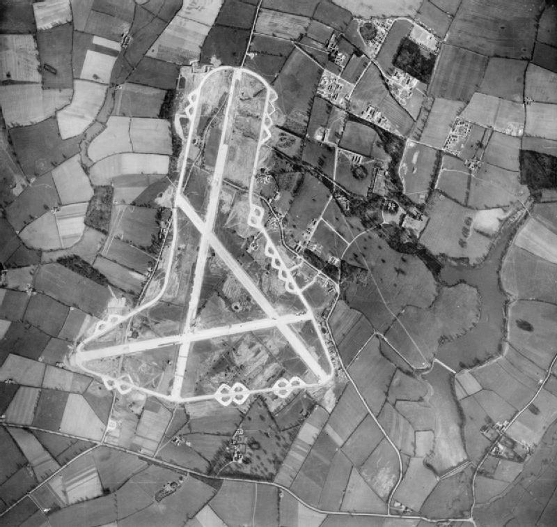
RAF Husbands Bosworth
Royal Air Force Husbands Bosworth or more simply RAF Husbands Bosworth is a former Royal Air Force station near the village of Husbands Bosworth in the...

Hothorpe Hall
Hothorpe Hall, in Northamptonshire, is a Georgian manor house near Market Harborough. It lies in the parish of Marston Trussell in Northamptonshire but...

Theddingworth railway station
Theddingworth railway station was a railway station serving Theddingworth in the English county of Leicestershire. It was opened on the Rugby and Stamford...
Theddingworth
Theddingworth is a village and civil parish in Leicestershire, England. The population of the civil parish at the 2011 census was 217. The parish includes...

Mowsley
Mowsley, pronounced "mowzley" (rhyming with "cows") (from Muslai - mouse infested field) is a small village in the south part of Leicestershire. The modern...
Nearby Amenities
Located within 500m of 52.454679,-1.0474448Have you been to The Shrubbery?
Leave your review of The Shrubbery below (or comments, questions and feedback).