Stock Dale

Valley in Yorkshire Scarborough

England

Stock Dale

Shooting Box The building marked on the map as 'Shooting Box'.
Shooting Box Credit: T Eyre

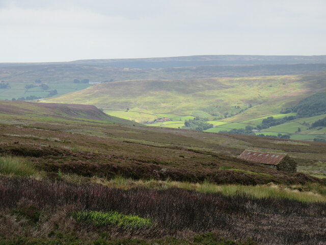
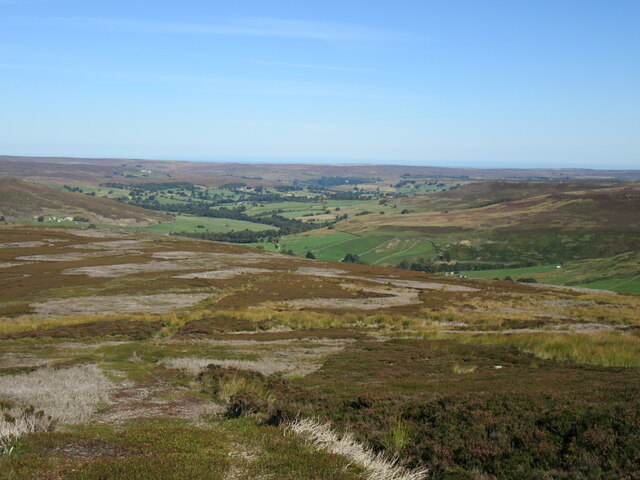
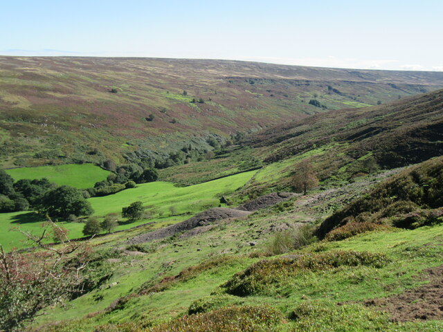
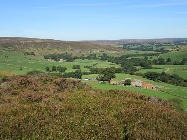
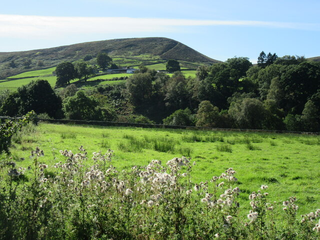
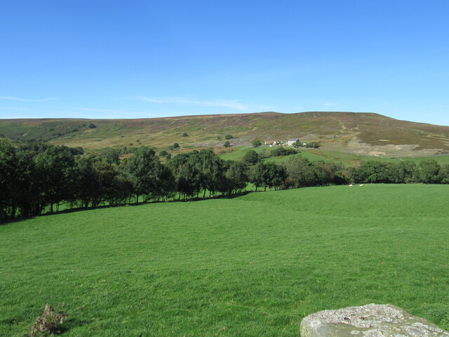
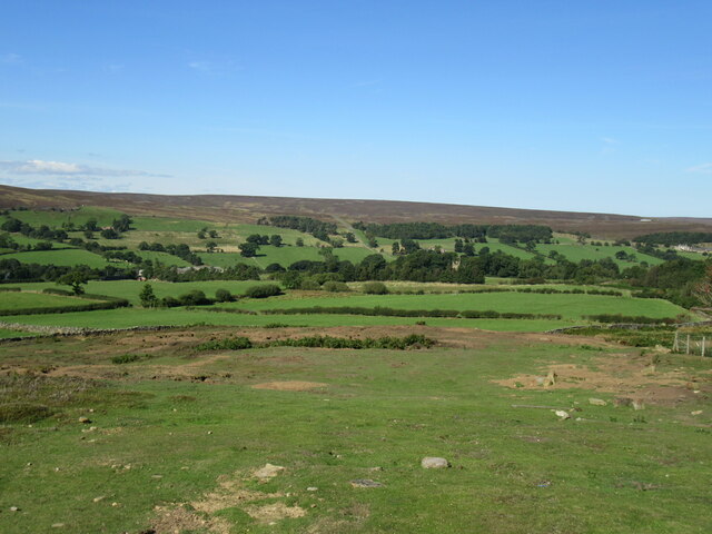
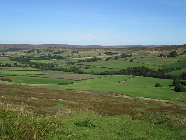
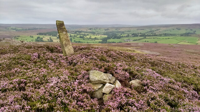
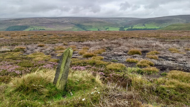
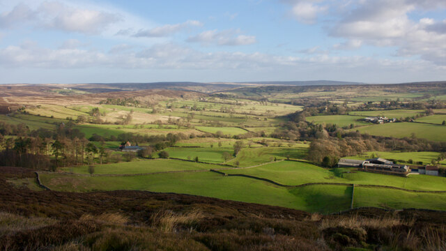
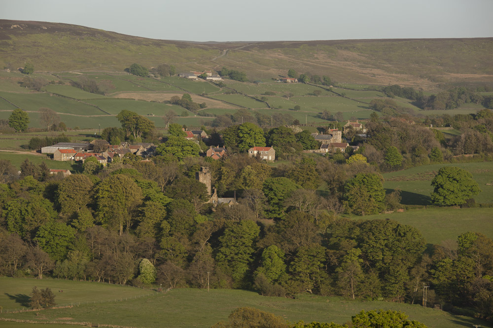
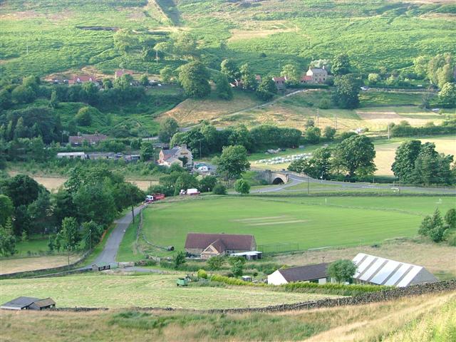
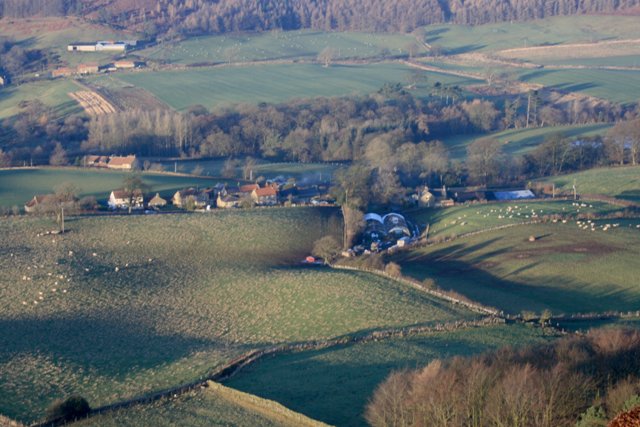
Stock Dale is a picturesque valley located in the county of Yorkshire, England. Nestled amidst the rolling hills and lush greenery, it offers a tranquil escape for nature lovers and outdoor enthusiasts alike. The dale is situated within the larger Nidderdale Area of Outstanding Natural Beauty, ensuring its protected status and preserving its unspoiled beauty.

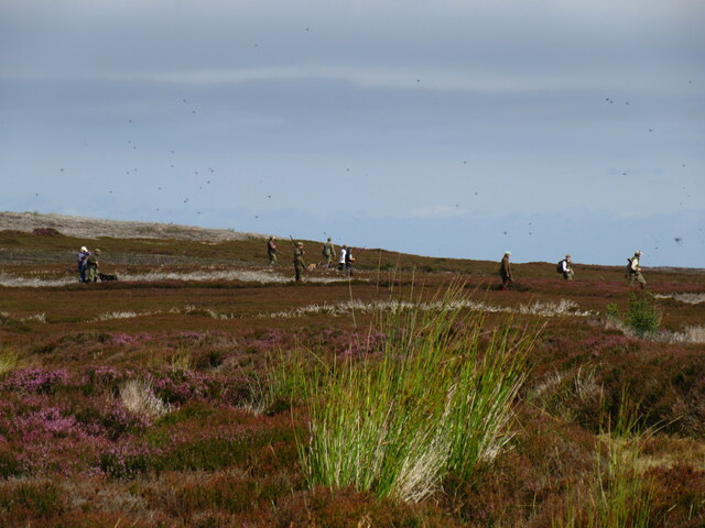
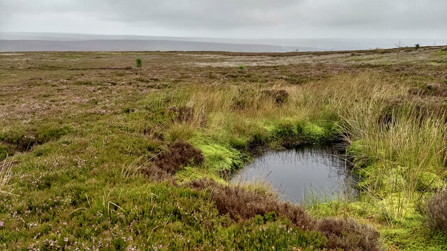
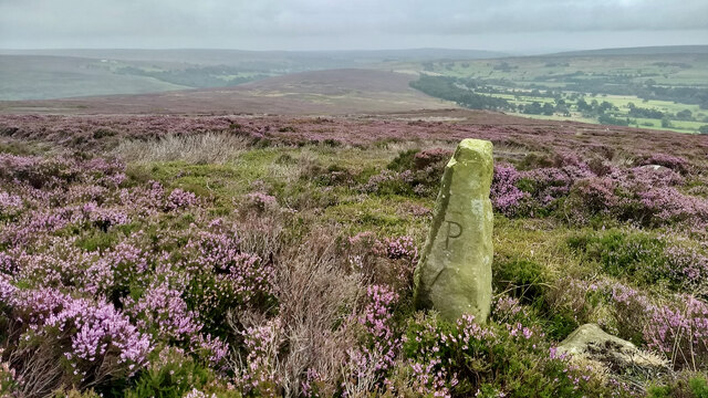
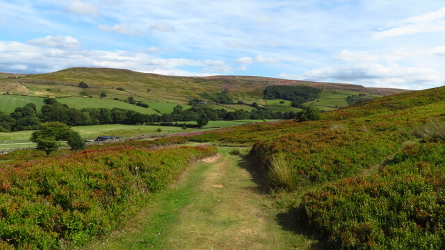
The valley is characterized by its idyllic scenery, with meandering streams, woodlands, and wildflower meadows dotting the landscape. Visitors can explore the numerous walking trails that crisscross the dale, taking in breathtaking views of the surrounding countryside. The diversity of flora and fauna found in Stock Dale is impressive, with rare species of birds, butterflies, and plants thriving in this unspoiled habitat.

The charming village of Stock Dale is a quintessential example of rural Yorkshire life. Its quaint stone cottages, many of which date back centuries, retain their traditional charm and provide a glimpse into the region's rich history. The village is home to a handful of small shops, a cozy country pub, and a community center that serves as a hub for local events and activities.

The residents of Stock Dale are known for their warm hospitality and strong sense of community. They take pride in their village and work together to preserve its unique character. The annual Stock Dale Festival is a highlight of the social calendar, showcasing local talent in music, arts, and crafts.

Overall, Stock Dale is a hidden gem in Yorkshire, offering visitors a chance to immerse themselves in the beauty of nature and experience the warmth of traditional village life.

If you have any feedback on the listing, please let us know in the comments section below.
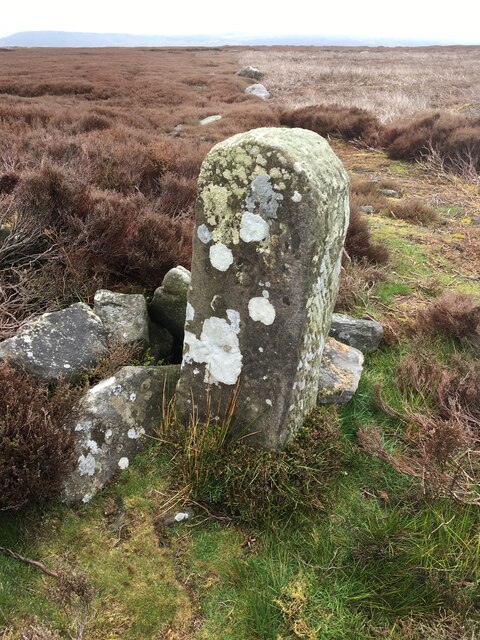
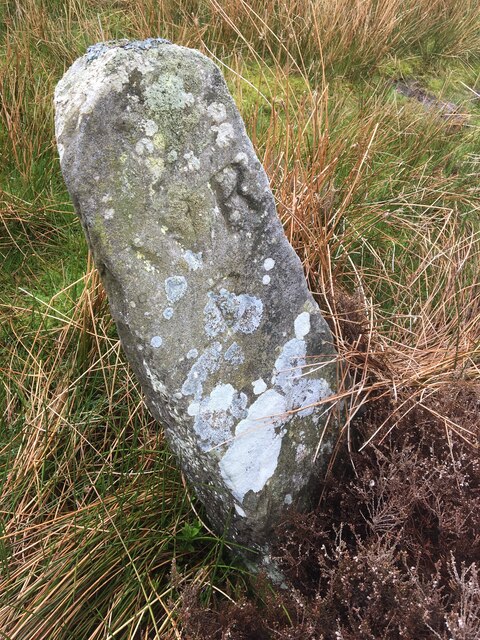
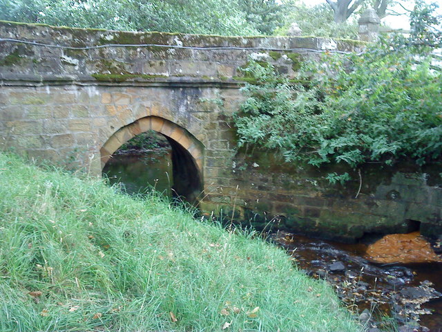
Stock Dale Images

Images are sourced within 2km of 54.431876/-1.0039601 or Grid Reference NZ6404. Thanks to Geograph Open Source API. All images are credited.

Shooting Box The building marked on the map as 'Shooting Box'.
Shooting Box
The building marked on the map as 'Shooting Box'.
Grouse shoot Grouse shoot in progress on Baysdale Moor.
Grouse shoot
Grouse shoot in progress on Baysdale Moor.
The path to High House The path across Howdale Hill to High Farm at the top of Westerdale.
The path to High House
The path across Howdale Hill to High Farm at the top of Westerdale.
Esklets Esklets is the highest part of Westerdale and the Esk Valley.
Esklets
Esklets is the highest part of Westerdale and the Esk Valley.
Above High House Farm Looking NE into Westerdale.
Above High House Farm
Looking NE into Westerdale.
Looking towards Nab Looking towards High House Farm and 'Nab'.
Looking towards Nab
Looking towards High House Farm and 'Nab'.
In Westerdale Looking across Westerdale towards New House Farm.
In Westerdale
Looking across Westerdale towards New House Farm.
Near Westerdale village Looking NW, there is a buried stone trod nearby.
Near Westerdale village
Looking NW, there is a buried stone trod nearby.
Top End view View from the top of the steep road that climbs up Top End out of Westerdale.
Top End view
View from the top of the steep road that climbs up Top End out of Westerdale.
Standing stone above Westerdale
Pond, Great Hograh Moor
Standing stone, Great Hograh Moor
Lingcote End An unfamiliar view of the lower portion of Westerdale, taken whilst being buffeted by Storm Malik, the latest of this winter’s storm.

I am on what is named as Grange Bank on the old O.S. map, descending into the dale after a slog over Baysdale Moor.

The photo gives a good overview of the medieval settlement area known as Lingcote End.

It may be hard to appreciate as we speed through the modern village on the way up to Rosedale Head, but Westerdale is known as a poly-focal settlement. That is, there are several distinct settlement clusters of dispersed farmsteads.

One of these was Lingcote End, a name recorded in a 1539 charter but probably older. The first element of the name probably refers to a cottage in the heather, whilst the ‘End’ is a settlement. The name is not on modern O.S. maps but ‘Lingcote End Gate’ is named on the 1952 6″ edition.

The nearest farm, on the right, is Grange Farm, thought to have been the grange of Baysdale Abbey.

Next, continuing right to left on a contour, is Hawthorn House. This was named as ‘Hawthorn Hurste’ in 1539. Next is Stocking House, recorded as a close ‘Stockynge’ in the charter. Finally there is Crown House, almost hidden by trees.

The four farms occupy a bowl facing south-east, so catching the morning sun but sheltered from the prevailing south-westerlies. It was certainly sheltered as I made my way back into Baysdale along the modern Public Bridleway which links the farms.

For sources and references see my blog <span class="nowrap"><a title="http://www.fhithich.uk/?p=27273" rel="nofollow ugc noopener" href="http://www.fhithich.uk/?p=27273">Link</a><img style="margin-left:2px;" alt="External link" title="External link - shift click to open in new window" src="https://s1.geograph.org.uk/img/external.png" width="10" height="10"/></span>
Lingcote End
An unfamiliar view of the lower portion of Westerdale, taken whilst being buffeted by Storm Malik, the latest of this winter’s storm. I am on what is named as Grange Bank on the old O.S. map, descending into the dale after a slog over Baysdale Moor. The photo gives a good overview of the medieval settlement area known as Lingcote End. It may be hard to appreciate as we speed through the modern village on the way up to Rosedale Head, but Westerdale is known as a poly-focal settlement. That is, there are several distinct settlement clusters of dispersed farmsteads. One of these was Lingcote End, a name recorded in a 1539 charter but probably older. The first element of the name probably refers to a cottage in the heather, whilst the ‘End’ is a settlement. The name is not on modern O.S. maps but ‘Lingcote End Gate’ is named on the 1952 6″ edition. The nearest farm, on the right, is Grange Farm, thought to have been the grange of Baysdale Abbey. Next, continuing right to left on a contour, is Hawthorn House. This was named as ‘Hawthorn Hurste’ in 1539. Next is Stocking House, recorded as a close ‘Stockynge’ in the charter. Finally there is Crown House, almost hidden by trees. The four farms occupy a bowl facing south-east, so catching the morning sun but sheltered from the prevailing south-westerlies. It was certainly sheltered as I made my way back into Baysdale along the modern Public Bridleway which links the farms. For sources and references see my blog LinkExternal link
On Esk Valley Walk - view SW near Grange Farm, Westerdale
Old Boundary Marker on Stockdale Moor Estate Boundary Marker called the Cross Stone, on Stockdale Moor. Westerdale parish. Inscribed W R / B. See also <a title="https://www.geograph.org.uk/photo/5238490" href="https://www.geograph.org.uk/photo/5238490">Link</a>.

Milestone Society National ID: YN_WEST01em
Old Boundary Marker on Stockdale Moor
Estate Boundary Marker called the Cross Stone, on Stockdale Moor. Westerdale parish. Inscribed W R / B. See also Link. Milestone Society National ID: YN_WEST01em
Old Boundary Marker on Stockdale Moor Estate Boundary Marker on Stockdale Moor. Westerdale parish. Inscribed W R / B.

Milestone Society National ID: YN_WEST06em
Old Boundary Marker on Stockdale Moor
Estate Boundary Marker on Stockdale Moor. Westerdale parish. Inscribed W R / B. Milestone Society National ID: YN_WEST06em
Old Boundary Marker on Stockdale Moor Estate Boundary Marker on Stockdale Moor. Westerdale parish. Inscribed W R / B.

Milestone Society National ID: YN_WEST07em
Old Boundary Marker on Stockdale Moor
Estate Boundary Marker on Stockdale Moor. Westerdale parish. Inscribed W R / B. Milestone Society National ID: YN_WEST07em
Show me another place!

Stock Dale is located at Grid Ref: NZ6404 (Lat: 54.431876, Lng: -1.0039601)

Division: North Riding

Administrative County: North Yorkshire

District: Scarborough

Police Authority: North Yorkshire

What 3 Words

///sideburns.woodstove.slips. Near Ingleby Greenhow, North Yorkshire

Nearby Locations

Stock Dale

Related Wikis

Westerdale Preceptory

Westerdale Preceptory was a priory in Westerdale, North Yorkshire, England. The land was donated to the Knights Templar by Guido de Bovingcourt in 1203...

Westerdale

Westerdale is a village, civil parish and dale within the Scarborough district of North Yorkshire, England. The Esk Valley Walk runs through part of the...

Basedale Priory

Basedale Priory or Baysdale Priory was a priory in North Yorkshire, England located 8 miles (13 km) East from the parish church of Stokesley. It was a...

Warren Moor Mine

The Warren Moor Mine, was a short-lived mining concern south of Kildale, North Yorkshire, England. Activity at the site was limited to drift mining, and...

Botton, North Yorkshire

Botton is a small village within the North York Moors National Park in North Yorkshire, England which is mainly a Camphill Community for people with learning...

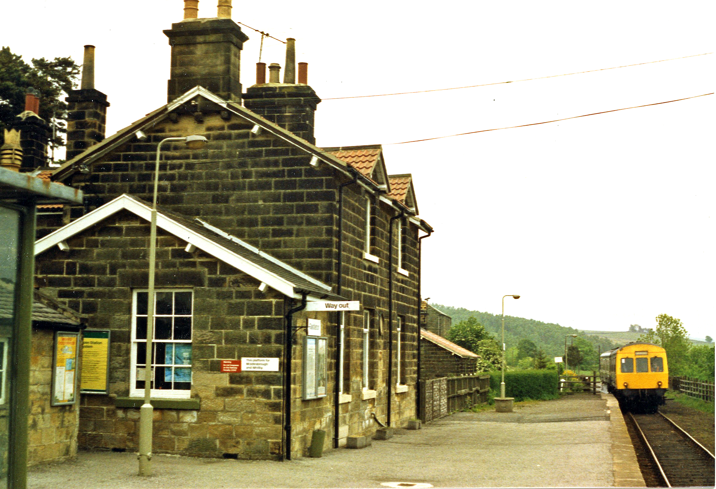
Castleton Moor railway station

Castleton Moor is a railway station on the Esk Valley Line, which runs between Middlesbrough and Whitby via Nunthorpe. The station, situated 16 miles 45...

Castleton, North Yorkshire

Castleton is a village on the River Esk, part of the civil parish of Danby in the county of North Yorkshire in England. It can be found 7.1 miles (11.5...

Kildale

Kildale is a village and civil parish in Hambleton district of North Yorkshire, England. It lies approximately 3 miles (4.8 km) south-east from Great Ayton...

Nearby Amenities

Located within 500m of 54.431876,-1.0039601
Note: Not really a place
Source: survey
Lat/Long: 54.4278651/-1.0019222
Note: Not really a place
Source: survey
Lat/Long: 54.4288884/-1.002164
Robin Leys House
Place: isolated_dwelling
Lat/Long: 54.4297806/-1.0017888
New House Farm
Place: farm
Lat/Long: 54.4339944/-0.9972872
Information: route_marker
Tourism: information
Lat/Long: 54.4293729/-0.9976197
Barrier: stile
Step Count: 1
Stile: stepover
Lat/Long: 54.4304423/-0.9970967
Information: route_marker
Tourism: information
Lat/Long: 54.4303732/-0.9971449
Barrier: stile
Step Count: 1
Stile: stepover
Lat/Long: 54.4303759/-0.9971511
Information: route_marker
Tourism: information
Lat/Long: 54.4304394/-0.9970904
Ford: yes
Lat/Long: 54.4314775/-0.9964237
Information: route_marker
Tourism: information
Lat/Long: 54.4314857/-0.9963973
The data included in this document is from www.openstreetmap.org. The data is made available under ODbL.

Have you been to Stock Dale?

Leave your review of Stock Dale below (or comments, questions and feedback).