Drunken Bottom
Valley in Oxfordshire South Oxfordshire
England
Drunken Bottom

Drunken Bottom is a picturesque village located in the county of Oxfordshire, England. Nestled in a small valley, it is surrounded by rolling hills and lush greenery, offering a peaceful and idyllic retreat for residents and visitors alike.
The village takes its name from a local legend that claims the water in the nearby river makes people feel intoxicated due to its high mineral content. However, this is purely folklore and has no basis in scientific fact.
Drunken Bottom boasts a small but tight-knit community, with a population of approximately 300 residents. The village is known for its charming thatched-roof cottages, which add to its quaint and traditional atmosphere.
A focal point of the village is the historic St. Mary's Church, dating back to the 12th century. The church is renowned for its stunning stained glass windows and intricate architectural details, attracting visitors interested in the region's cultural heritage.
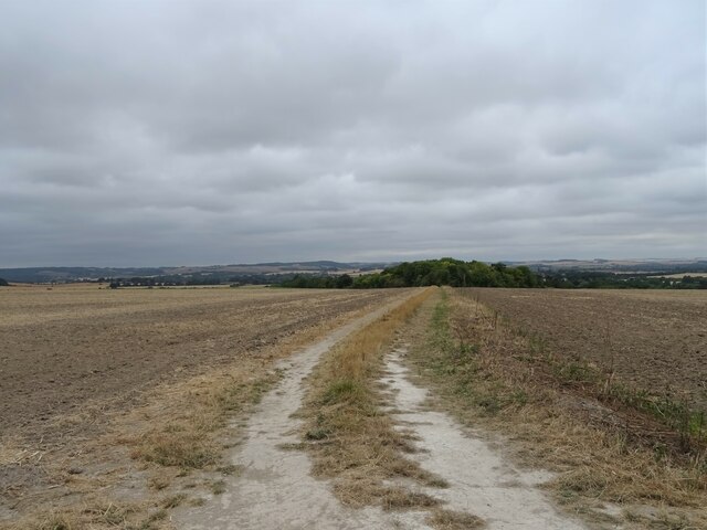
Surrounded by beautiful countryside, Drunken Bottom offers numerous opportunities for outdoor activities. Hiking and cycling trails meander through the surrounding hills, providing breathtaking views of the valley. The nearby river is also popular for fishing and boating enthusiasts.
Although small in size, Drunken Bottom is well-served by amenities. The village has a local pub, The Tipsy Tavern, which is a popular spot for residents and visitors to enjoy a pint of locally brewed ale and traditional British fare.
Overall, Drunken Bottom exudes a charm and tranquility that is reminiscent of a bygone era, making it an attractive destination for those seeking a peaceful countryside experience in the heart of Oxfordshire.
If you have any feedback on the listing, please let us know in the comments section below.
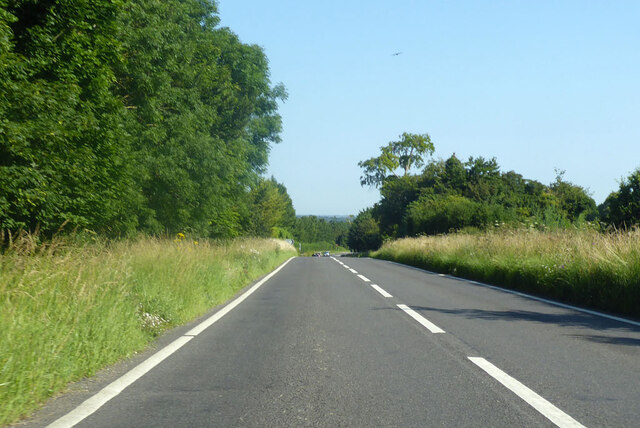
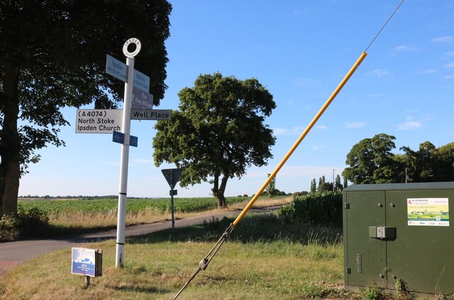
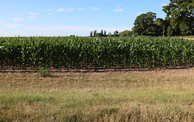
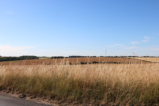
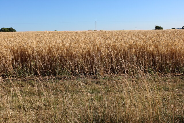
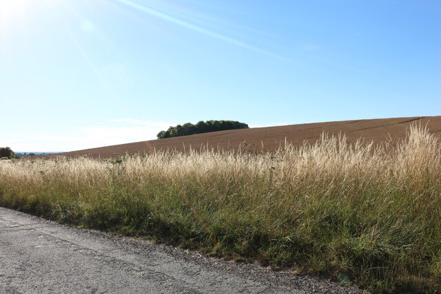
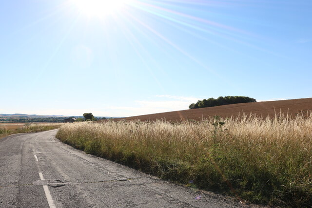
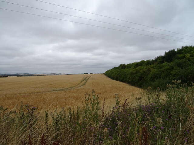
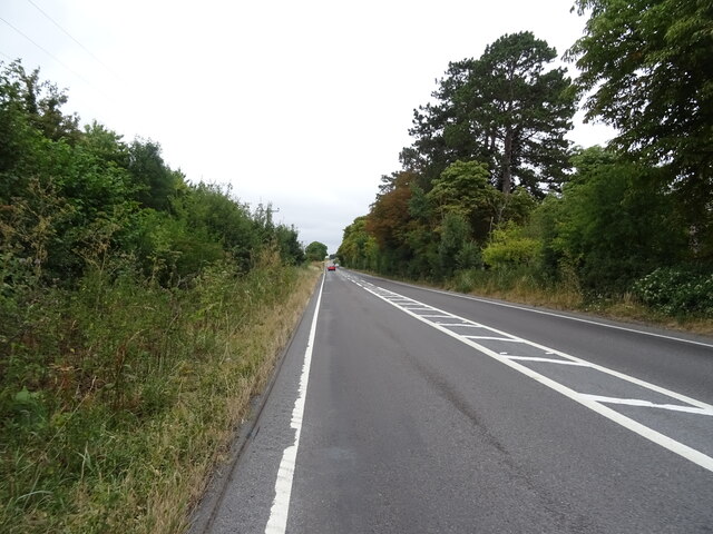
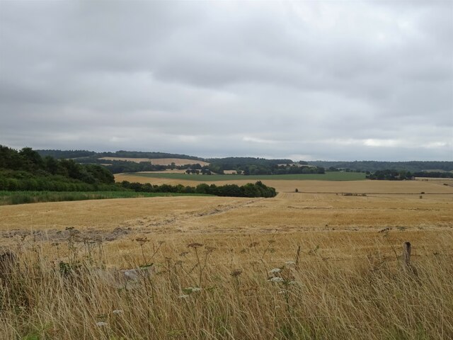
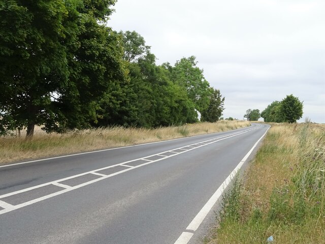
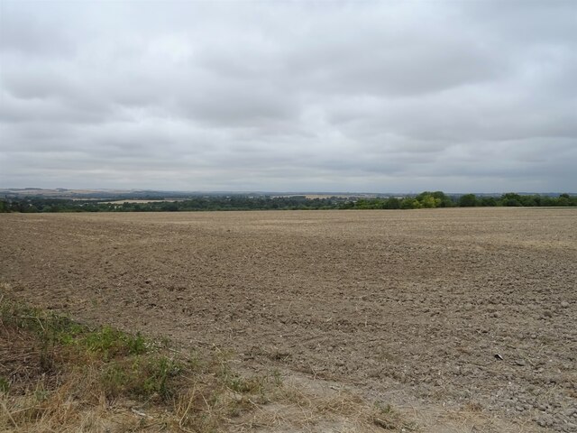
Drunken Bottom Images
Images are sourced within 2km of 51.574314/-1.0876439 or Grid Reference SU6386. Thanks to Geograph Open Source API. All images are credited.


Drunken Bottom is located at Grid Ref: SU6386 (Lat: 51.574314, Lng: -1.0876439)
Administrative County: Oxfordshire
District: South Oxfordshire
Police Authority: Thames Valley
What 3 Words
///monopoly.chilling.pedicure. Near Wallingford, Oxfordshire
Nearby Locations
Related Wikis

Ipsden
Ipsden is a village and civil parish in the Chiltern Hills in South Oxfordshire, about 3 miles (5 km) southeast of Wallingford. It is almost equidistant...

Crowmarsh
Crowmarsh is a fairly large, mostly rural civil parish in the South Oxfordshire, district, in the county of Oxfordshire, England, east and southeast of...

Warren Bank
Warren Bank is a 3.1-hectare (7.7-acre) biological Site of Special Scientific Interest south-east of Wallingford in Oxfordshire. It is managed by the Berkshire...

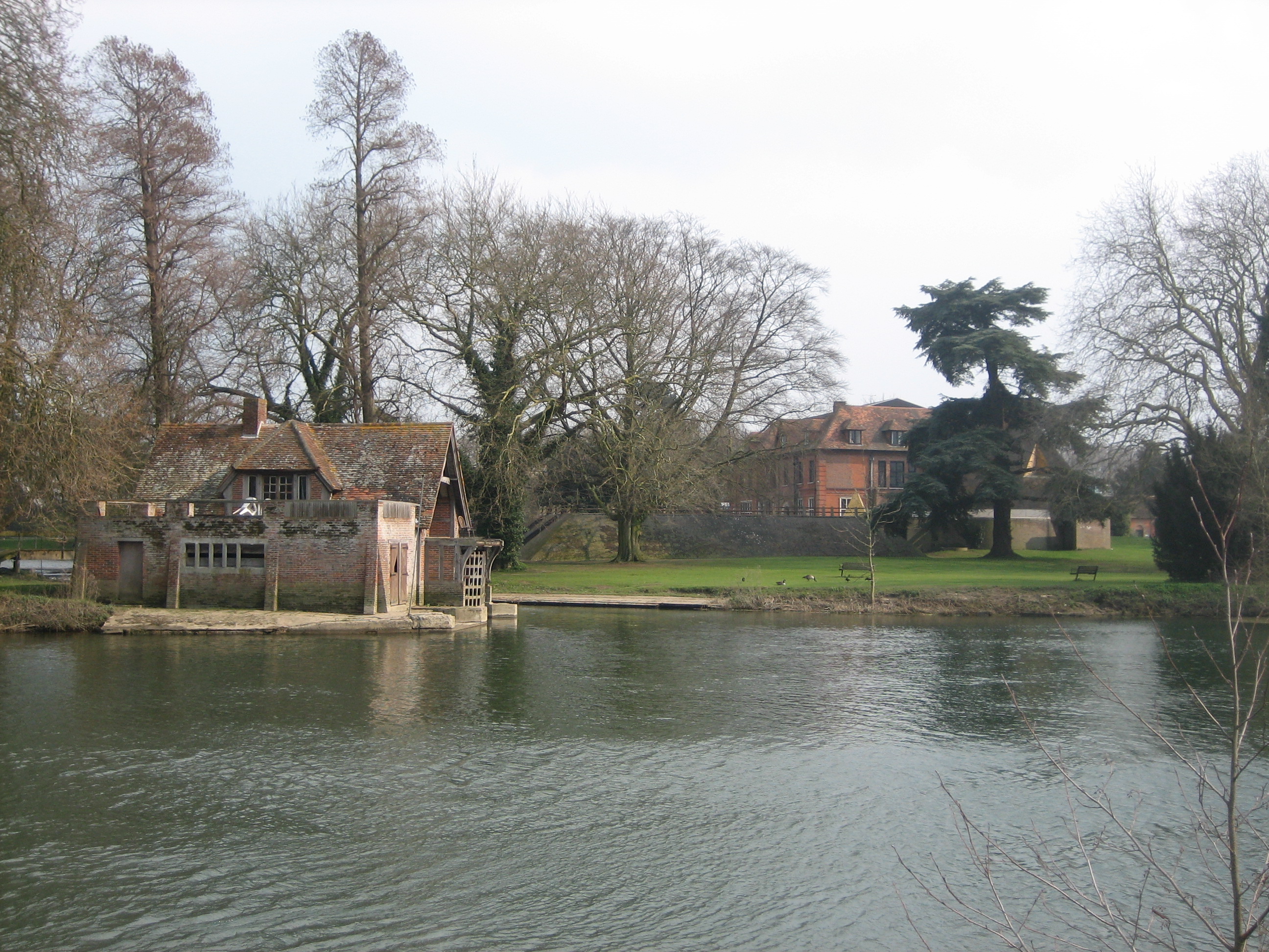
Braziers Park
Braziers Park is a Grade II* country house and estate on the edge of Ipsden - a small village near Wallingford, Oxfordshire, England - housing a secular...
Wood (festival)
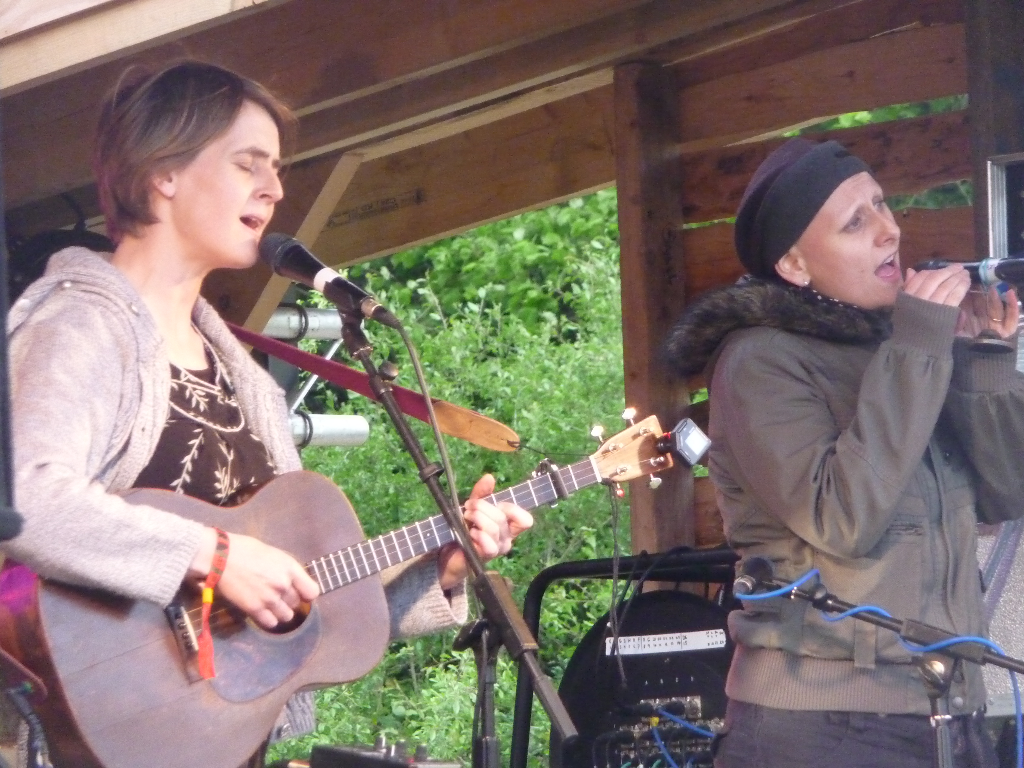
Wood is an annual small early summer folk and roots music festival and environmental gathering, which takes place in Braziers Park, Ipsden near Wallingford...

North Stoke, Oxfordshire
North Stoke is a small village beside the River Thames in the civil parish of Crowmarsh, in the South Oxfordshire district, in the county of Oxfordshire...
Mongewell
Mongewell (first syllable rhymes with sponge) is a village in the civil parish of Crowmarsh, about 1 mile (1.6 km) south of Wallingford in Oxfordshire...
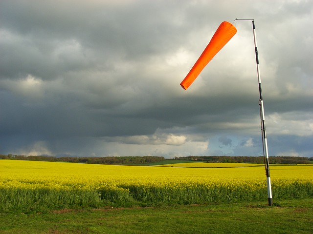
Chiltern Park Aerodrome
Chiltern Park Aerodrome was a private airfield near Woodcote and Ipsden in Oxfordshire. It was within RAF Benson's Military Aerodrome Traffic Zone.The...
Nearby Amenities
Located within 500m of 51.574314,-1.0876439Have you been to Drunken Bottom?
Leave your review of Drunken Bottom below (or comments, questions and feedback).