Coblers Hill
Hill, Mountain in Oxfordshire South Oxfordshire
England
Coblers Hill

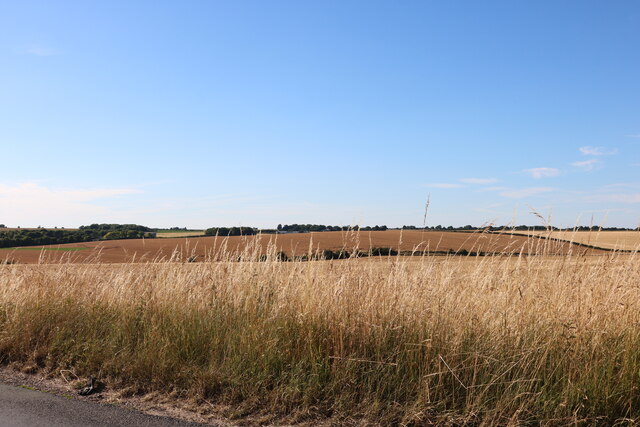
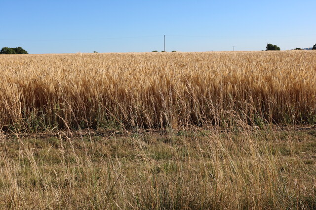
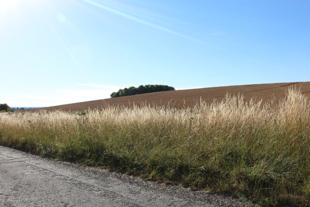
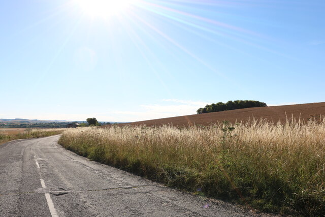
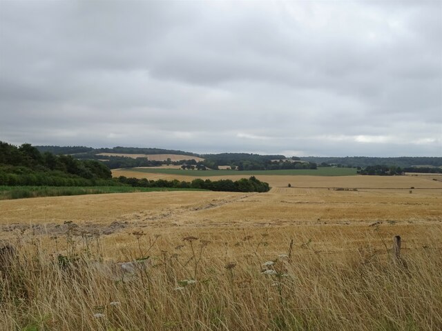
Coblers Hill is a small hill located in the county of Oxfordshire, England. Situated near the village of Watlington, it forms part of the Chiltern Hills, a designated Area of Outstanding Natural Beauty. The hill's summit reaches an elevation of approximately 221 meters (725 feet), offering panoramic views of the surrounding countryside.
Covered in lush greenery, Coblers Hill is renowned for its beautiful woodlands, which are home to a diverse range of plant and animal species. The hillside is predominantly covered in beech trees, with occasional patches of ash, oak, and hawthorn. This dense forestation provides a haven for wildlife, including deer, foxes, badgers, and a variety of bird species.
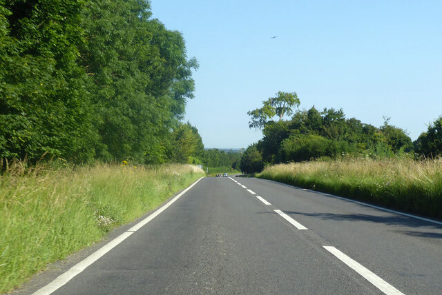
The hill is a popular destination for outdoor enthusiasts and nature lovers. It offers numerous walking trails and footpaths, allowing visitors to explore its scenic surroundings. The most popular route takes hikers through the woodland and up to the summit, where they can enjoy breathtaking views of the Oxfordshire countryside.
Coblers Hill also holds historical significance. In the past, it was used as a quarry, providing locals with building materials. The hill's name is believed to have originated from this activity, as cobblers were known to use the stones extracted from the quarry to make repairs on the village's shoes.
Overall, Coblers Hill is a picturesque and tranquil location that offers visitors a unique opportunity to immerse themselves in the natural beauty of Oxfordshire's countryside.
If you have any feedback on the listing, please let us know in the comments section below.
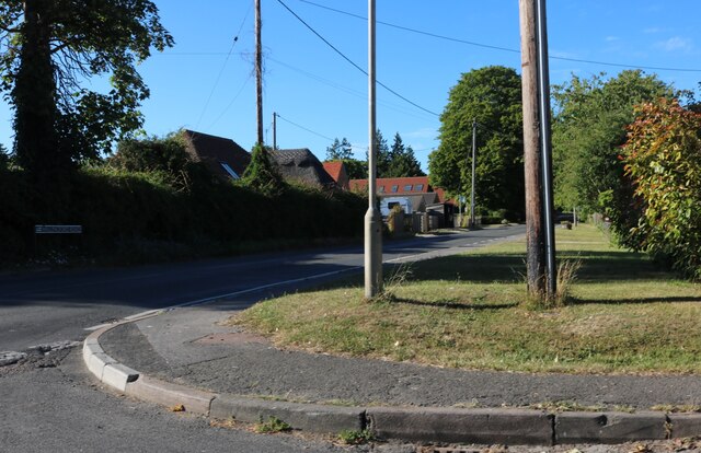
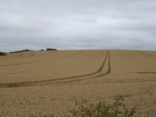
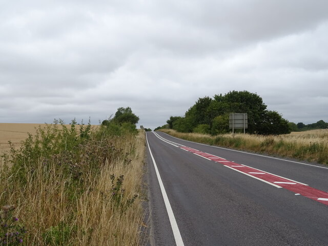
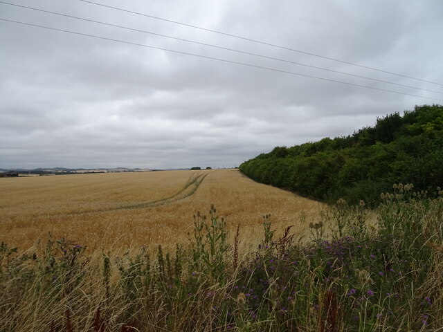
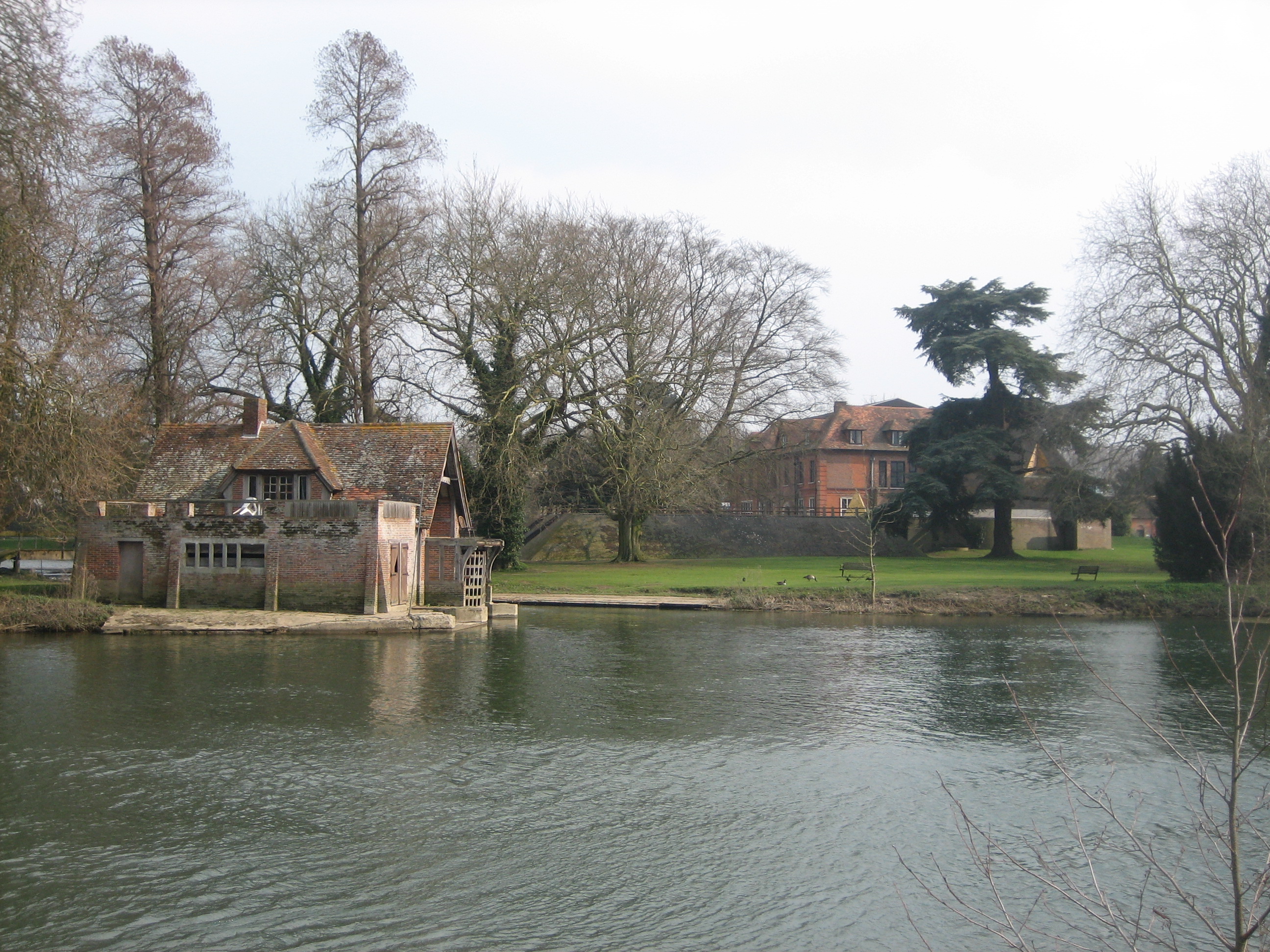
Coblers Hill Images
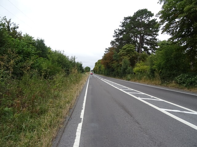
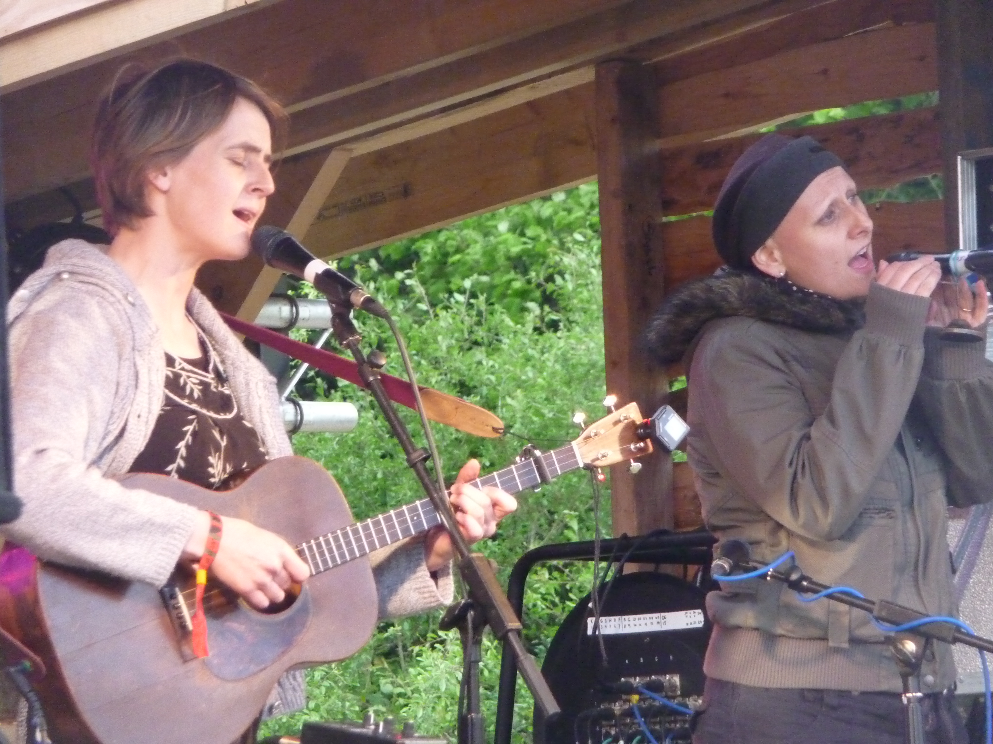
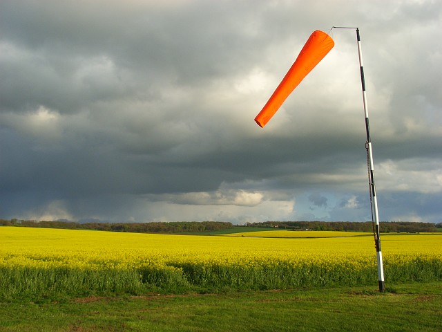
Images are sourced within 2km of 51.572756/-1.0918597 or Grid Reference SU6386. Thanks to Geograph Open Source API. All images are credited.


Coblers Hill is located at Grid Ref: SU6386 (Lat: 51.572756, Lng: -1.0918597)
Administrative County: Oxfordshire
District: South Oxfordshire
Police Authority: Thames Valley
What 3 Words
///earlobes.hoot.waking. Near Wallingford, Oxfordshire
Nearby Locations
Related Wikis

Ipsden
Ipsden is a village and civil parish in the Chiltern Hills in South Oxfordshire, about 3 miles (5 km) southeast of Wallingford. It is almost equidistant...

Crowmarsh
Crowmarsh is a fairly large, mostly rural civil parish in the South Oxfordshire, district, in the county of Oxfordshire, England, east and southeast of...

North Stoke, Oxfordshire
North Stoke is a small village beside the River Thames in the civil parish of Crowmarsh, in the South Oxfordshire district, in the county of Oxfordshire...

Braziers Park
Braziers Park is a Grade II* country house and estate on the edge of Ipsden - a small village near Wallingford, Oxfordshire, England - housing a secular...
Wood (festival)
Wood is an annual small early summer folk and roots music festival and environmental gathering, which takes place in Braziers Park, Ipsden near Wallingford...
Chiltern Park Aerodrome
Chiltern Park Aerodrome was a private airfield near Woodcote and Ipsden in Oxfordshire. It was within RAF Benson's Military Aerodrome Traffic Zone.The...
Mongewell
Mongewell (first syllable rhymes with sponge) is a village in the civil parish of Crowmarsh, about 1 mile (1.6 km) south of Wallingford in Oxfordshire...

Warren Bank
Warren Bank is a 3.1-hectare (7.7-acre) biological Site of Special Scientific Interest south-east of Wallingford in Oxfordshire. It is managed by the Berkshire...
Nearby Amenities
Located within 500m of 51.572756,-1.0918597Have you been to Coblers Hill?
Leave your review of Coblers Hill below (or comments, questions and feedback).