John Ball Hill
Hill, Mountain in Leicestershire Harborough
England
John Ball Hill

John Ball Hill is a prominent hill located in Leicestershire, England. Situated near the village of John Ball, the hill stands at an elevation of approximately 215 meters (705 feet) above sea level. It is a popular destination for outdoor enthusiasts, hikers, and nature lovers due to its stunning natural beauty and panoramic views.
The hill is primarily composed of limestone, which gives it a distinct appearance and contributes to the unique flora and fauna found in the area. It is surrounded by lush green fields and meadows, creating a picturesque landscape that attracts visitors year-round.
The summit of John Ball Hill offers breathtaking views of the surrounding countryside, including the nearby villages, rolling hills, and even glimpses of distant landmarks. On clear days, it is possible to see as far as the Leicestershire Wolds and the Charnwood Forest.
The hill is also home to a variety of wildlife, including birds, rabbits, and foxes. It provides a natural habitat for several plant species, including wildflowers and shrubs. Visitors can enjoy peaceful walks along well-marked trails, taking in the sights and sounds of nature.
Access to John Ball Hill is relatively easy, with nearby parking facilities and footpaths leading to the summit. The hill is a popular spot for both locals and tourists, offering a tranquil escape from the hustle and bustle of city life.
In conclusion, John Ball Hill is a stunning natural landmark in Leicestershire, offering breathtaking views, diverse wildlife, and a peaceful environment for visitors to enjoy.
If you have any feedback on the listing, please let us know in the comments section below.
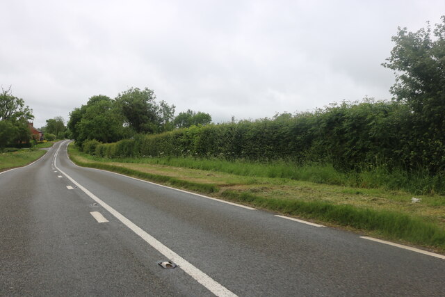
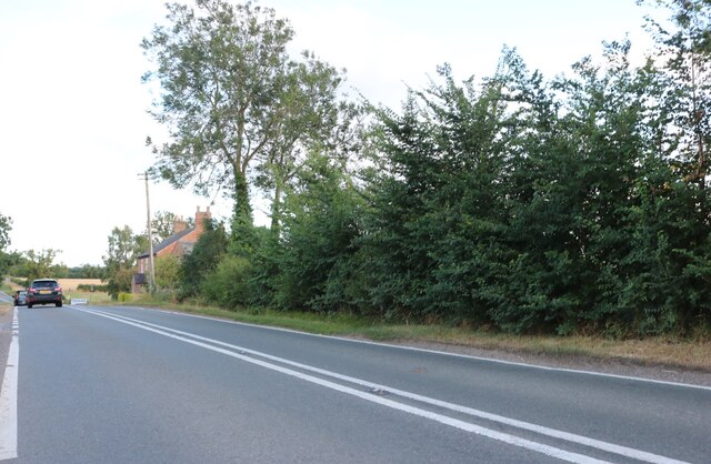
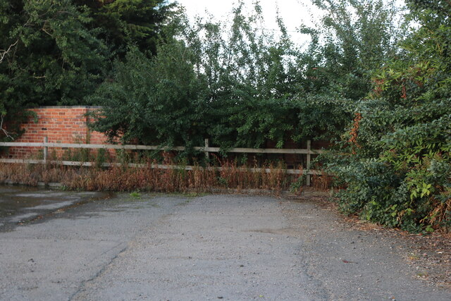
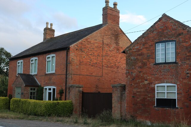
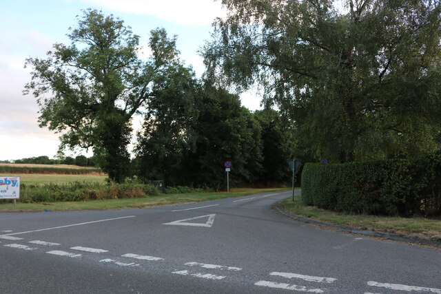
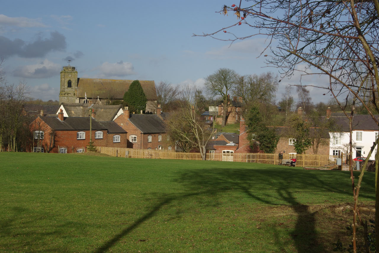
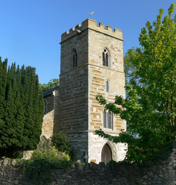
John Ball Hill Images
Images are sourced within 2km of 52.508215/-1.0734429 or Grid Reference SP6290. Thanks to Geograph Open Source API. All images are credited.


John Ball Hill is located at Grid Ref: SP6290 (Lat: 52.508215, Lng: -1.0734429)
Administrative County: Leicestershire
District: Harborough
Police Authority: Leicestershire
What 3 Words
///unite.huddle.depth. Near Fleckney, Leicestershire
Nearby Locations
Related Wikis
Shearsby
Shearsby is a rural village in the English county of Leicestershire. Shearsby is in the Harborough district around nine miles due south of Leicester and...

Knaptoft
Knaptoft is a deserted medieval village and civil parish in the Harborough district of Leicestershire and lies approximately 9.7 miles (15.6 km) south...
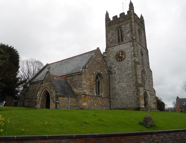
St Peter's Church, Arnesby
St Peter's Church is a church in Arnesby, Leicestershire. It is a Grade II* listed building. == History == The church consists of a nave, chancel, north...

Arnesby
Arnesby is a village and civil parish in the Harborough district of Leicestershire, England. Arnesby contains approximately 142 households with a population...

Bruntingthorpe
Bruntingthorpe is a village and civil parish in the Harborough district of Leicestershire, England. According to the census in 2001 the parish had a population...
Saddington
Saddington is a village in the Harborough district of Leicestershire, England. It is close to Smeeton Westerby, Gumley, Kibworth and Fleckney. The population...
St Mary's Church, Bruntingthorpe
St Mary's Church is a church in Bruntingthorpe, Leicestershire. It is a Grade II listed building. == History == The church consists of a nave, north aisle...

Saddington Reservoir
Saddington Reservoir is a canal reservoir and 19.1 hectares (47 acres) biological Site of Special Scientific Interest south of Saddington in Leicestershire...
Nearby Amenities
Located within 500m of 52.508215,-1.0734429Have you been to John Ball Hill?
Leave your review of John Ball Hill below (or comments, questions and feedback).